Geodha nam Muc
Coastal Feature, Headland, Point in Argyllshire
Scotland
Geodha nam Muc

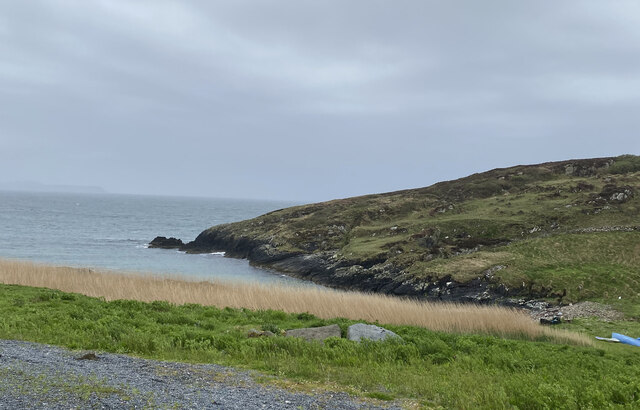
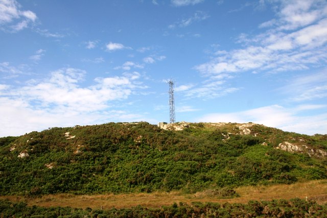
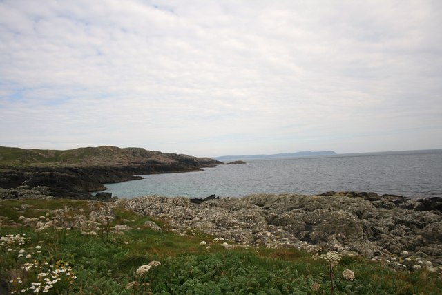
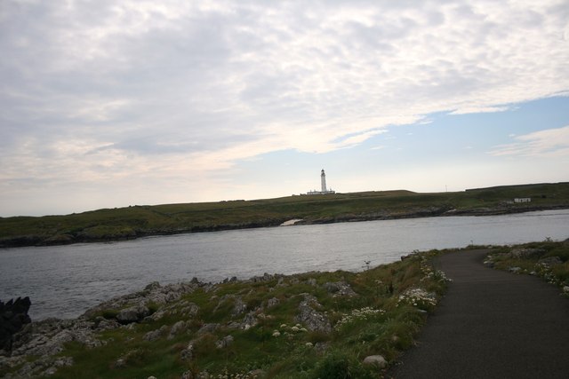
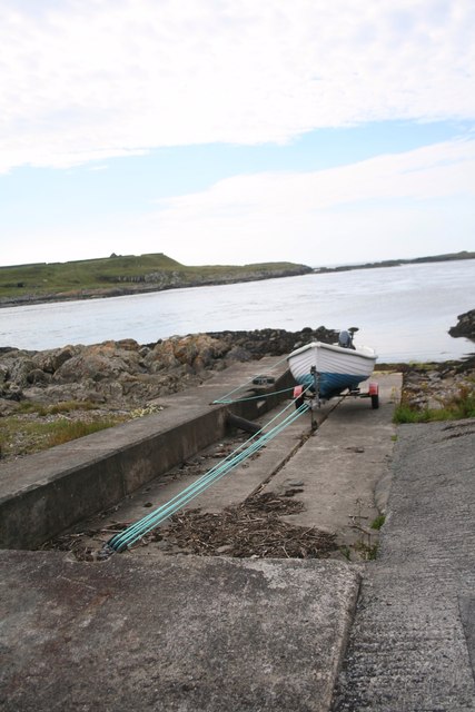
Geodha nam Muc, located in Argyllshire, Scotland, is a stunning coastal feature that stands out for its rugged beauty and unique geological formations. This headland, also known as a point, juts out into the North Atlantic Ocean, offering breathtaking panoramic views of the surrounding seascape.
Characterized by its towering cliffs and dramatic rock formations, Geodha nam Muc is a haven for nature enthusiasts and adventure seekers. It is home to a diverse range of flora and fauna, including seabirds, seals, and various marine species. The coastal area surrounding the headland is rich in marine life, making it a popular spot for fishing and wildlife spotting.
The geological features of Geodha nam Muc are particularly fascinating. The headland is composed of ancient sandstone and limestone, which have been eroded over thousands of years by the relentless force of the ocean. This erosion has resulted in the creation of sea caves, arches, and stacks, adding to the allure and intrigue of this coastal feature.
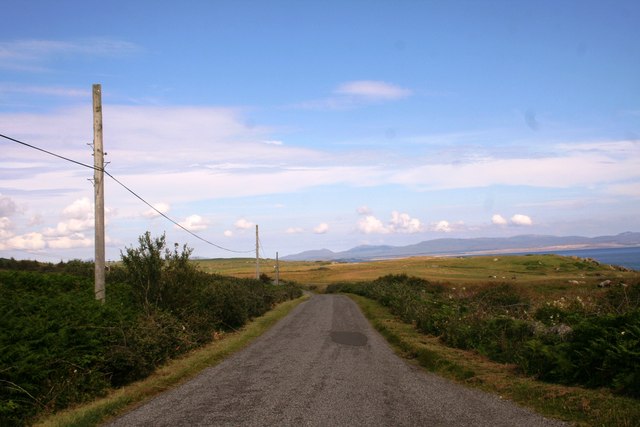
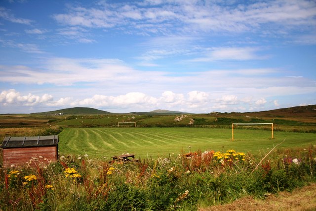
Access to Geodha nam Muc is relatively easy, with a well-maintained footpath leading visitors to the headland. However, caution is advised when navigating the cliffs and rocky terrain, as they can be treacherous and slippery, especially during inclement weather.
Overall, Geodha nam Muc is a must-visit destination for those seeking a glimpse of Scotland's enchanting coastline. Its rugged beauty, unique geological formations, and abundant wildlife make it a truly remarkable and unforgettable location.
If you have any feedback on the listing, please let us know in the comments section below.
Geodha nam Muc Images
Images are sourced within 2km of 55.67748/-6.4749919 or Grid Reference NR1851. Thanks to Geograph Open Source API. All images are credited.


Geodha nam Muc is located at Grid Ref: NR1851 (Lat: 55.67748, Lng: -6.4749919)
Unitary Authority: Argyll and Bute
Police Authority: Argyll and West Dunbartonshire
What 3 Words
///downs.rewriting.limped. Near Portnahaven, Argyll & Bute
Related Wikis

Portnahaven
Portnahaven (Scottish Gaelic: Port na h-Abhainne, meaning river port) is a village on Islay in the Inner Hebrides, Scotland. The village is within the...

Easter Ellister
Easter Ellister (Aolastradh) is a settlement on the Rinns of Islay on Islay in the Inner Hebrides of Scotland. It lies just off the A847 road between Portnahaven...

Orsay, Inner Hebrides
Orsay (Scottish Gaelic: Orasaigh) is a small island in the Inner Hebrides of Scotland. It lies a short distance off the west coast of the island of Islay...

Eilean Mhic Coinnich
Eilean Mhic Coinnich, also known as Mackenzie Island (although recorded on the Land Register as McKenseys Island), is an uninhabited island of 17.3 hectares...

Islay LIMPET
Islay LIMPET was the world's first commercial wave power device and was connected to the United Kingdom's National Grid. == History == Islay LIMPET (Land...

Rhinns complex
The Rhinns complex is a deformed Palaeoproterozoic igneous complex that is considered to form the basement to the Colonsay Group of metasedimentary rocks...

Nerabus
Nerabus (otherwise Nereabolls) is a hamlet in the west of the isle of Islay in Scotland. The vicinity is noted for its scenic qualities and diverse birdlife...

Rinns of Islay
The Rinns of Islay (Scottish Gaelic: Na Roinn Ìleach; alternative English spelling Rhinns of Islay) is an area on the west of the island of Islay in the...
Nearby Amenities
Located within 500m of 55.67748,-6.4749919Have you been to Geodha nam Muc?
Leave your review of Geodha nam Muc below (or comments, questions and feedback).