Nidageo

Coastal Feature, Headland, Point in Ross-shire

Scotland

Nidageo

Blackhouse Village at Garenin
Blackhouse Village at Garenin Credit: Colin Park

Nidageo is a prominent headland located in Ross-shire, a county in the Highland region of Scotland. Situated on the northwestern coast of Scotland, Nidageo is known for its breathtaking coastal features and stunning natural beauty. The headland is positioned at the mouth of the River Nid, overlooking the vast expanse of the North Sea.

Nidageo stands tall, jutting out into the sea, forming a distinctive shape that is easily recognizable. Its rugged cliffs, rising to an impressive height, provide a dramatic backdrop against the crashing waves below. The headland is composed of sedimentary rocks, displaying unique geological formations that have been shaped by centuries of erosion.

The headland of Nidageo serves as a vital landmark for sailors and fishermen, guiding them safely through the treacherous waters of the North Sea. Its strategic location has made it a significant point for navigation, both historically and in modern times. The panoramic views from the headland are truly unparalleled, offering sweeping vistas of the surrounding coastline, with glimpses of distant islands on clear days.

Nidageo is also a haven for wildlife enthusiasts and nature lovers. The headland is home to a diverse range of seabirds, including puffins, fulmars, and razorbills, which nest along the cliffs and provide an awe-inspiring display of avian life. The surrounding waters are teeming with marine life, attracting seals and occasionally dolphins, making it an ideal spot for marine wildlife observation.

Visitors to Nidageo can take advantage of various walking trails and hiking routes that traverse the headland, providing opportunities for exploration and discovery. The rugged beauty of Nidageo, combined with its rich natural heritage, makes it a must-visit destination for anyone seeking to experience the untamed coastline of Ross-shire.

If you have any feedback on the listing, please let us know in the comments section below.
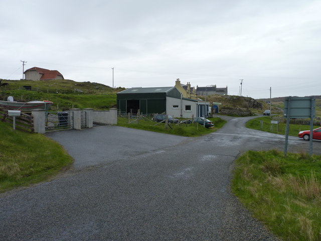
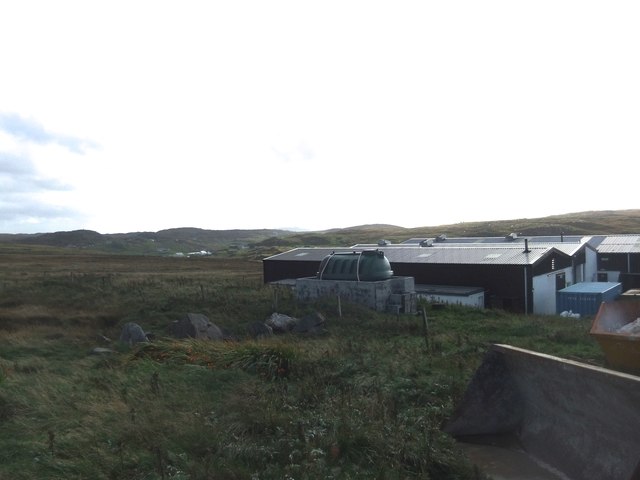
Nidageo Images

Images are sourced within 2km of 58.290198/-6.8080362 or Grid Reference NB1843. Thanks to Geograph Open Source API. All images are credited.

Blackhouse Village at Garenin
Ruin by Loch Garenin
Bus shelter near the Tweed Mill
Na Gearrannan The main road through the restored part of the old village of blackhouses. People lived in some of these houses up until 1974.
Na Gearrannan
The main road through the restored part of the old village of blackhouses. People lived in some of these houses up until 1974.
Buildings in Gearrannan Blackhouse Village
The road to Gearrannan Blackhouse Village
Loch Garenin Sea loch below the Black House Village.
Loch Garenin
Sea loch below the Black House Village.
Blackhouse Village at Garenin The village was occupied until 1974. Restored in the later years of the Century. The plaque commemorates the opening of the village as a visitor attraction by Princess Anne. Most of the black houses are let as self-catering holiday accommodation.
Blackhouse Village at Garenin
The village was occupied until 1974. Restored in the later years of the Century. The plaque commemorates the opening of the village as a visitor attraction by Princess Anne. Most of the black houses are let as self-catering holiday accommodation.
Cottage interior, Garenin Blackhouse Village
Garenin Blackhouses Museum Group of reconstructed blackhouses which give an excellent impression of what Hebridean hamlets would have looked like 200 years ago.
Garenin Blackhouses Museum
Group of reconstructed blackhouses which give an excellent impression of what Hebridean hamlets would have looked like 200 years ago.
Garenin Blackhouses Museum A reconstructed blackhouse settlement.
Garenin Blackhouses Museum
A reconstructed blackhouse settlement.
Rubha Mor Neidallt illicit still Illicit still hidden below a large rock outcrop. <span class="nowrap"><a title="https://canmore.org.uk/site/137120/lewis-rubha-mor-neidallt" rel="nofollow ugc noopener" href="https://canmore.org.uk/site/137120/lewis-rubha-mor-neidallt">Link</a><img style="margin-left:2px;" alt="External link" title="External link - shift click to open in new window" src="https://s1.geograph.org.uk/img/external.png" width="10" height="10"/></span>
Rubha Mor Neidallt illicit still
Illicit still hidden below a large rock outcrop. LinkExternal link
Rubha Mor Neidallt illicit still View into the building from the rock outcrop above the building. <span class="nowrap"><a title="https://canmore.org.uk/site/137120/lewis-rubha-mor-neidallt" rel="nofollow ugc noopener" href="https://canmore.org.uk/site/137120/lewis-rubha-mor-neidallt">Link</a><img style="margin-left:2px;" alt="External link" title="External link - shift click to open in new window" src="https://s1.geograph.org.uk/img/external.png" width="10" height="10"/></span>
Rubha Mor Neidallt illicit still
View into the building from the rock outcrop above the building. LinkExternal link
Marker Cairn
Marker Cairn
Historic shelter or shieling
Road to Borghastan A cul-de-sac back road near Càrlabhagh.
Road to Borghastan
A cul-de-sac back road near Càrlabhagh.
Carloway Mill
Carloway Mill
Show me another place!

Nidageo is located at Grid Ref: NB1843 (Lat: 58.290198, Lng: -6.8080362)

Unitary Authority: Na h-Eileanan an Iar

Police Authority: Highlands and Islands

What 3 Words

///scarves.encrusted.tonality. Near Carloway, Na h-Eileanan Siar

Related Wikis

Garenin

Garenin (Scottish Gaelic: Na Gearrannan) is a crofting township on the west coast of the Isle of Lewis in the Outer Hebrides of Scotland. Garenin is in...

Borrowston, Lewis

Borrowston (Scottish Gaelic: Borghastan), with a population of about 50, is a crofting township situated on the Isle of Lewis, on the Outer Hebrides of...

Dun Carloway

Dun Carloway (Scottish Gaelic: Dùn Chàrlabhaigh) is a broch situated in the district of Carloway, on the west coast of the Isle of Lewis, Scotland (grid...

Carloway

Carloway (Scottish Gaelic: Càrlabhagh [ˈkʰaːɾɫ̪ə.ɤː]) is a crofting township and a district on the west coast of the Isle of Lewis, in the Outer Hebrides...

Have you been to Nidageo?

Leave your review of Nidageo below (or comments, questions and feedback).