Rubha Thaoig

Coastal Feature, Headland, Point in Ross-shire

Scotland

Rubha Thaoig

Blackhouse Village at Garenin
Blackhouse Village at Garenin Credit: Colin Park

Rubha Thaoig is a prominent headland located in Ross-shire, Scotland. Situated on the northern coast of the Scottish mainland, this coastal feature juts out into the North Atlantic Ocean, offering breathtaking views and natural beauty.

The headland is characterized by its rugged cliffs, which rise dramatically from the sea, creating an impressive backdrop against the crashing waves. These cliffs are formed by layers of sedimentary rock, displaying a variety of colors and textures, adding to the visual appeal of the area.

Rubha Thaoig is known for its diverse wildlife, attracting nature enthusiasts and birdwatchers alike. The headland is home to various seabird colonies, including puffins, guillemots, and kittiwakes, which nest along the cliffs. The surrounding waters are also frequented by seals, dolphins, and occasionally, whales, providing a chance for visitors to spot these magnificent creatures in their natural habitat.

For hikers and outdoor enthusiasts, Rubha Thaoig offers several walking trails that lead along the headland, providing opportunities to explore the rugged coastline and enjoy panoramic views of the ocean and neighboring islands. These trails are well-marked and cater to different levels of difficulty, making them accessible to a wide range of visitors.

At the tip of Rubha Thaoig, there is a small lighthouse that serves as a vital navigational aid for ships navigating the treacherous waters. This lighthouse has stood sentinel for many years, guiding vessels safely along the coast.

Overall, Rubha Thaoig is a picturesque and captivating headland, offering visitors a chance to immerse themselves in Scotland's natural beauty and experience the awe-inspiring power of the North Atlantic Ocean.

If you have any feedback on the listing, please let us know in the comments section below.

Rubha Thaoig Images

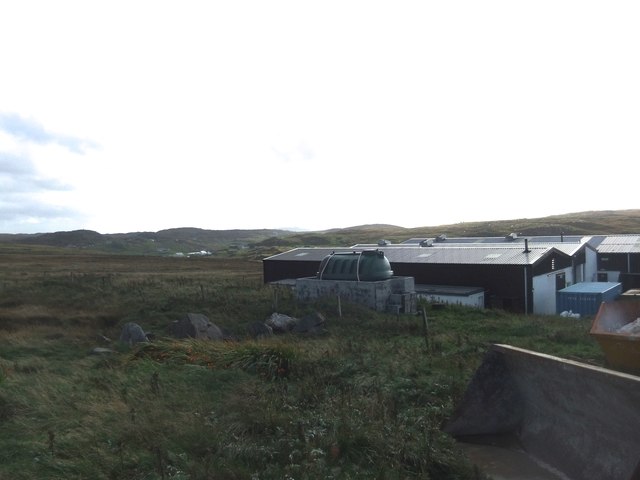
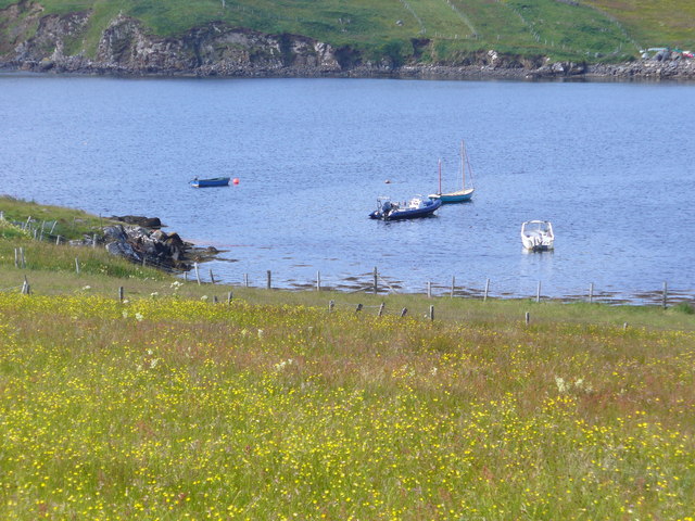
Images are sourced within 2km of 58.290649/-6.8101644 or Grid Reference NB1843. Thanks to Geograph Open Source API. All images are credited.

Blackhouse Village at Garenin
Ruin by Loch Garenin
Bus shelter near the Tweed Mill
Na Gearrannan The main road through the restored part of the old village of blackhouses. People lived in some of these houses up until 1974.
Na Gearrannan
The main road through the restored part of the old village of blackhouses. People lived in some of these houses up until 1974.
Buildings in Gearrannan Blackhouse Village
The road to Gearrannan Blackhouse Village
Loch Garenin Sea loch below the Black House Village.
Loch Garenin
Sea loch below the Black House Village.
Blackhouse Village at Garenin The village was occupied until 1974. Restored in the later years of the Century. The plaque commemorates the opening of the village as a visitor attraction by Princess Anne. Most of the black houses are let as self-catering holiday accommodation.
Blackhouse Village at Garenin
The village was occupied until 1974. Restored in the later years of the Century. The plaque commemorates the opening of the village as a visitor attraction by Princess Anne. Most of the black houses are let as self-catering holiday accommodation.
Cottage interior, Garenin Blackhouse Village
Garenin Blackhouses Museum Group of reconstructed blackhouses which give an excellent impression of what Hebridean hamlets would have looked like 200 years ago.
Garenin Blackhouses Museum
Group of reconstructed blackhouses which give an excellent impression of what Hebridean hamlets would have looked like 200 years ago.
Garenin Blackhouses Museum A reconstructed blackhouse settlement.
Garenin Blackhouses Museum
A reconstructed blackhouse settlement.
Rubha Mor Neidallt illicit still Illicit still hidden below a large rock outcrop. <span class="nowrap"><a title="https://canmore.org.uk/site/137120/lewis-rubha-mor-neidallt" rel="nofollow ugc noopener" href="https://canmore.org.uk/site/137120/lewis-rubha-mor-neidallt">Link</a><img style="margin-left:2px;" alt="External link" title="External link - shift click to open in new window" src="https://s1.geograph.org.uk/img/external.png" width="10" height="10"/></span>
Rubha Mor Neidallt illicit still
Illicit still hidden below a large rock outcrop. LinkExternal link
Rubha Mor Neidallt illicit still View into the building from the rock outcrop above the building. <span class="nowrap"><a title="https://canmore.org.uk/site/137120/lewis-rubha-mor-neidallt" rel="nofollow ugc noopener" href="https://canmore.org.uk/site/137120/lewis-rubha-mor-neidallt">Link</a><img style="margin-left:2px;" alt="External link" title="External link - shift click to open in new window" src="https://s1.geograph.org.uk/img/external.png" width="10" height="10"/></span>
Rubha Mor Neidallt illicit still
View into the building from the rock outcrop above the building. LinkExternal link
Marker Cairn
Marker Cairn
Historic shelter or shieling
Carloway Mill
Carloway Mill
Moorings by Cnoc na Crich Small craft moored on the south side of Loch Charlabhaigh / Carloway, at the foot of a flower-laden field.
Moorings by Cnoc na Crich
Small craft moored on the south side of Loch Charlabhaigh / Carloway, at the foot of a flower-laden field.
Show me another place!

Rubha Thaoig is located at Grid Ref: NB1843 (Lat: 58.290649, Lng: -6.8101644)

Unitary Authority: Na h-Eileanan an Iar

Police Authority: Highlands and Islands

What 3 Words

///reserving.dripping.gear. Near Carloway, Na h-Eileanan Siar

Related Wikis

Garenin

Garenin (Scottish Gaelic: Na Gearrannan) is a crofting township on the west coast of the Isle of Lewis in the Outer Hebrides of Scotland. Garenin is in...

Borrowston, Lewis

Borrowston (Scottish Gaelic: Borghastan), with a population of about 50, is a crofting township situated on the Isle of Lewis, on the Outer Hebrides of...

Dun Carloway

Dun Carloway (Scottish Gaelic: Dùn Chàrlabhaigh) is a broch situated in the district of Carloway, on the west coast of the Isle of Lewis, Scotland (grid...

Carloway

Carloway (Scottish Gaelic: Càrlabhagh [ˈkʰaːɾɫ̪ə.ɤː]) is a crofting township and a district on the west coast of the Isle of Lewis, in the Outer Hebrides...

Have you been to Rubha Thaoig?

Leave your review of Rubha Thaoig below (or comments, questions and feedback).