Geodh' an t-Sruthan

Coastal Feature, Headland, Point in Ross-shire

Scotland

Geodh' an t-Sruthan

Blackhouse Village at Garenin
Blackhouse Village at Garenin Credit: Colin Park

Geodh' an t-Sruthan is a prominent coastal feature located in Ross-shire, Scotland. Positioned on a headland, it juts out into the sea, forming a distinct point on the coastline. The name "Geodh' an t-Sruthan" is derived from Scottish Gaelic, roughly translating to "the inlet of the streams," which reflects the geological characteristics of the area.

This headland is known for its rugged and dramatic landscape, with steep cliffs that plunge into the clear blue waters of the North Atlantic Ocean. The cliffs are composed of various types of rock, including sandstone and limestone, which have been shaped by centuries of coastal erosion.

Geodh' an t-Sruthan is popular among hikers and nature enthusiasts due to its stunning natural beauty and the breathtaking views it offers. The headland provides an ideal vantage point to observe marine wildlife such as seabirds, seals, and occasionally dolphins. The surrounding waters are also home to a diverse range of marine species, making it a favorite spot for snorkeling and diving.

Visitors can access Geodh' an t-Sruthan via a well-maintained footpath that winds its way along the coastal cliffs. Along the path, there are several lookout points and picnic areas where visitors can rest and enjoy the scenery. It is recommended to wear appropriate footwear and exercise caution, as the cliffs can be steep and slippery, especially during wet weather.

In conclusion, Geodh' an t-Sruthan is a stunning headland and coastal feature in Ross-shire, offering visitors a chance to experience the raw beauty of Scotland's coastline and observe its diverse marine life.

If you have any feedback on the listing, please let us know in the comments section below.

Geodh' an t-Sruthan Images

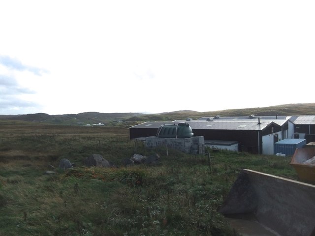
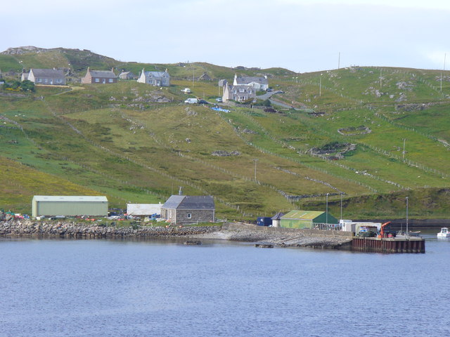
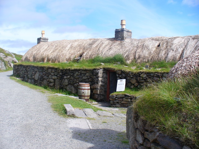
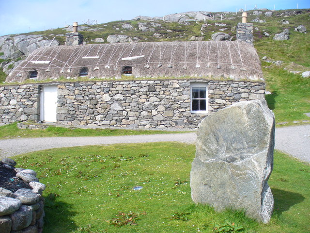
Images are sourced within 2km of 58.29032/-6.8131604 or Grid Reference NB1843. Thanks to Geograph Open Source API. All images are credited.

Blackhouse Village at Garenin
Ruin by Loch Garenin
Bus shelter near the Tweed Mill
Na Gearrannan The main road through the restored part of the old village of blackhouses. People lived in some of these houses up until 1974.
Na Gearrannan
The main road through the restored part of the old village of blackhouses. People lived in some of these houses up until 1974.
Buildings in Gearrannan Blackhouse Village
The road to Gearrannan Blackhouse Village
Loch Garenin Sea loch below the Black House Village.
Loch Garenin
Sea loch below the Black House Village.
Blackhouse Village at Garenin The village was occupied until 1974. Restored in the later years of the Century. The plaque commemorates the opening of the village as a visitor attraction by Princess Anne. Most of the black houses are let as self-catering holiday accommodation.
Blackhouse Village at Garenin
The village was occupied until 1974. Restored in the later years of the Century. The plaque commemorates the opening of the village as a visitor attraction by Princess Anne. Most of the black houses are let as self-catering holiday accommodation.
Cottage interior, Garenin Blackhouse Village
Garenin Blackhouses Museum Group of reconstructed blackhouses which give an excellent impression of what Hebridean hamlets would have looked like 200 years ago.
Garenin Blackhouses Museum
Group of reconstructed blackhouses which give an excellent impression of what Hebridean hamlets would have looked like 200 years ago.
Garenin Blackhouses Museum A reconstructed blackhouse settlement.
Garenin Blackhouses Museum
A reconstructed blackhouse settlement.
Marker Cairn
Marker Cairn
Historic shelter or shieling
Carloway Mill
Carloway Mill
Crofts, Borghastan Traditional field strips descending to the Loch Charlabhaig shoreline, with pier, from the crofts above.
Crofts, Borghastan
Traditional field strips descending to the Loch Charlabhaig shoreline, with pier, from the crofts above.
Blackhouse Village, Gearrannan Unique holiday village and visitor centre on the west coast of Lewis, near Carloway.
<span class="nowrap"><a title="http://www.gearrannan.com/" rel="nofollow ugc noopener" href="http://www.gearrannan.com/">Link</a><img style="margin-left:2px;" alt="External link" title="External link - shift click to open in new window" src="https://s1.geograph.org.uk/img/external.png" width="10" height="10"/></span>
Blackhouse Village, Gearrannan
Unique holiday village and visitor centre on the west coast of Lewis, near Carloway. LinkExternal link
New Life at Blackhouse Village Gearrannan, where old blackhouses now have windows and chimneys - they have been totally refurbished as holiday cottages.
<span class="nowrap"><a title="http://www.gearrannan.com/" rel="nofollow ugc noopener" href="http://www.gearrannan.com/">Link</a><img style="margin-left:2px;" alt="External link" title="External link - shift click to open in new window" src="https://s1.geograph.org.uk/img/external.png" width="10" height="10"/></span>
New Life at Blackhouse Village
Gearrannan, where old blackhouses now have windows and chimneys - they have been totally refurbished as holiday cottages. LinkExternal link
Show me another place!

Geodh' an t-Sruthan is located at Grid Ref: NB1843 (Lat: 58.29032, Lng: -6.8131604)

Unitary Authority: Na h-Eileanan an Iar

Police Authority: Highlands and Islands

What 3 Words

///amuse.kilt.starts. Near Carloway, Na h-Eileanan Siar

Related Wikis

Garenin

Garenin (Scottish Gaelic: Na Gearrannan) is a crofting township on the west coast of the Isle of Lewis in the Outer Hebrides of Scotland. Garenin is in...

Borrowston, Lewis

Borrowston (Scottish Gaelic: Borghastan), with a population of about 50, is a crofting township situated on the Isle of Lewis, on the Outer Hebrides of...

Dun Carloway

Dun Carloway (Scottish Gaelic: Dùn Chàrlabhaigh) is a broch situated in the district of Carloway, on the west coast of the Isle of Lewis, Scotland (grid...

Carloway

Carloway (Scottish Gaelic: Càrlabhagh [ˈkʰaːɾɫ̪ə.ɤː]) is a crofting township and a district on the west coast of the Isle of Lewis, in the Outer Hebrides...

Have you been to Geodh' an t-Sruthan?

Leave your review of Geodh' an t-Sruthan below (or comments, questions and feedback).