Druim a' Gheoidh
Coastal Feature, Headland, Point in Ross-shire
Scotland
Druim a' Gheoidh

Druim a' Gheoidh is a prominent coastal feature located in Ross-shire, Scotland. This headland, also known as Druim a' Gheoidh Point, is situated on the northern coast and is surrounded by the rugged beauty of the Scottish Highlands. It is positioned at a latitude of approximately 57.9971° N and a longitude of -5.2486° W.
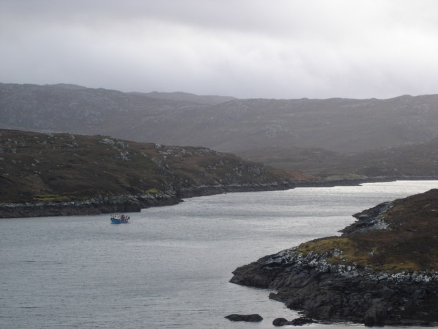
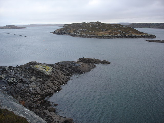
The headland is characterized by its dramatic cliffs, towering over the North Atlantic Ocean. These cliffs are composed of various types of rock formations, including sandstone and basalt, and provide a stunning backdrop to the coastal landscape. The area is also known for its abundant wildlife, including seabirds such as gannets and puffins, which can often be spotted nesting along the cliffs.
Druim a' Gheoidh offers breathtaking views of the surrounding coastline and the vast expanse of the Atlantic Ocean. On clear days, it is possible to see as far as the Isle of Skye and the Outer Hebrides. The headland is a popular spot for outdoor enthusiasts, offering opportunities for hiking, birdwatching, and photography.
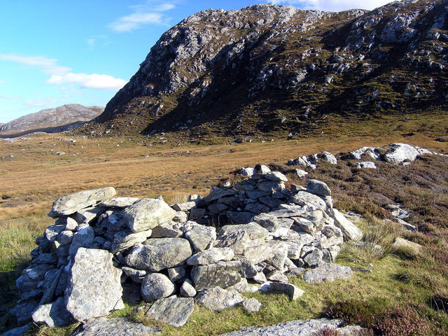
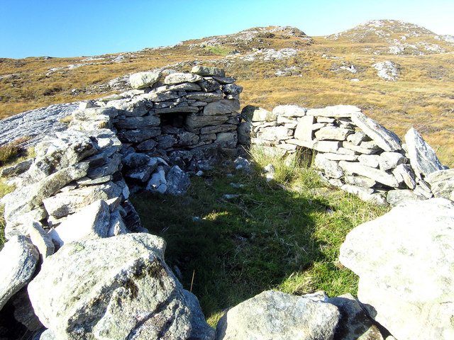
The area surrounding Druim a' Gheoidh is rich in history and heritage. There are remnants of ancient settlements and archaeological sites in the vicinity, indicating human occupation dating back thousands of years. Visitors can explore these historical landmarks and gain insights into the lives of the people who once called this area home.
In conclusion, Druim a' Gheoidh is a stunning headland in Ross-shire, Scotland, offering awe-inspiring views, diverse wildlife, and a glimpse into the region's rich history. It is a must-visit destination for nature lovers and those seeking to immerse themselves in the beauty of the Scottish coastline.
If you have any feedback on the listing, please let us know in the comments section below.
Druim a' Gheoidh Images
Images are sourced within 2km of 58.184173/-6.8588423 or Grid Reference NB1432. Thanks to Geograph Open Source API. All images are credited.


Druim a' Gheoidh is located at Grid Ref: NB1432 (Lat: 58.184173, Lng: -6.8588423)
Unitary Authority: Na h-Eileanan an Iar
Police Authority: Highlands and Islands
What 3 Words
///passwords.newsprint.immune. Near Carloway, Na h-Eileanan Siar
Related Wikis

Fuaigh Beag
Fuaigh Beag or Vuia Be(a)g is an island in the Outer Hebrides. It is off the west coast of Lewis near Great Bernera in Loch Roag. Its name means "little...
Loch Ròg
Loch Ròg or Loch Roag is a large sea loch on the west coast of Lewis, Outer Hebrides. It is broadly divided into East Loch Roag and West Loch Roag with...

Callanish VIII
The Callanish VIII stone setting is one of many megalithic structures around the better-known (and larger) Calanais I on the west coast of the Isle of...
Fuaigh Mòr
Fuaigh Mòr (sometimes anglicised as Vuia Mor) is an island in the Outer Hebrides of Scotland. It is off the west coast of Lewis near Great Bernera in...
Nearby Amenities
Located within 500m of 58.184173,-6.8588423Have you been to Druim a' Gheoidh?
Leave your review of Druim a' Gheoidh below (or comments, questions and feedback).