Tòb na Carradh

Bay in Ross-shire

Scotland

Tòb na Carradh

Shieling at the head of Loch Strome Ruined shieling (Airigh nan Carn) with the remains of the township of Strome on the water's edge, and the hill Stromacleit behind.
Shieling at the head of Loch Strome Credit: Sarah Egan

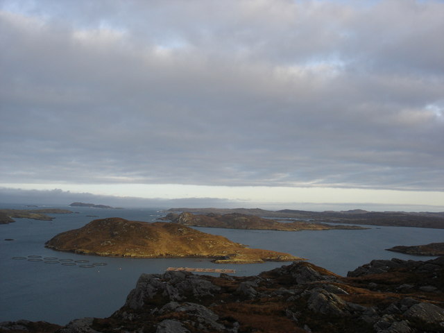
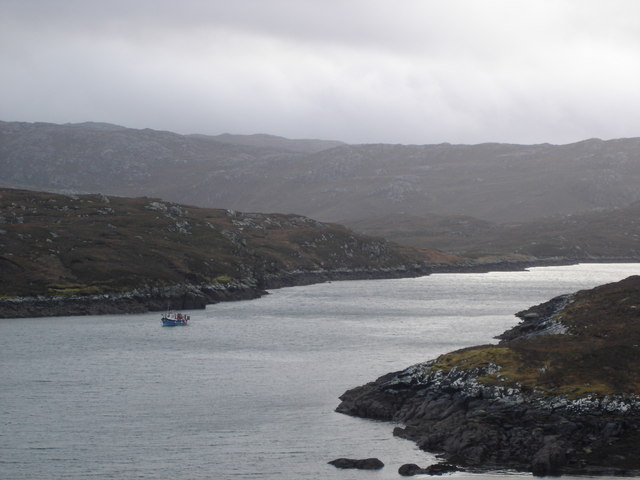
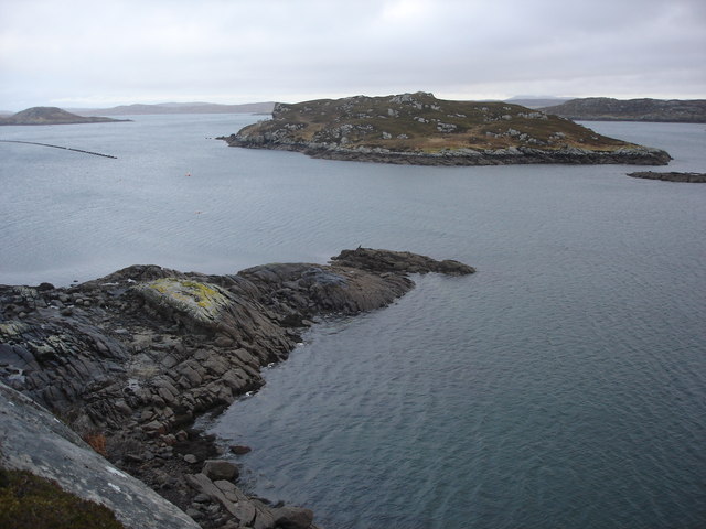
Tòb na Carradh is a picturesque bay located in the county of Ross-shire, Scotland. Situated on the northwest coast of the Highlands, this bay offers stunning views of the surrounding natural beauty. The bay is bounded by a rugged coastline, characterized by rocky cliffs and scattered sandy beaches.

The name "Tòb na Carradh" translates to "Bay of the Weir" in English, which refers to the presence of an old fish trap that was used in the past. This historical significance adds to the charm of the area and attracts visitors interested in the region's cultural heritage.

The bay is known for its diverse wildlife, making it a popular spot for nature enthusiasts and bird watchers. Many seabirds can be spotted here, including gulls, oystercatchers, and terns. Additionally, seals and dolphins are occasionally seen swimming in the bay, adding to the excitement of a visit.

Tòb na Carradh is also a popular destination for water sports enthusiasts. The calm and clear waters of the bay provide opportunities for kayaking, paddleboarding, and swimming. The sandy beaches offer ample space for picnics and sunbathing during the warmer months.

Access to Tòb na Carradh is relatively easy, with a nearby car park and well-maintained footpaths leading to the bay. The area is also surrounded by walking trails, offering visitors the chance to explore the stunning coastal scenery and enjoy the tranquility of the Scottish Highlands.

Overall, Tòb na Carradh is a hidden gem in Ross-shire, offering natural beauty, wildlife, and recreational activities for visitors to enjoy.

If you have any feedback on the listing, please let us know in the comments section below.

Tòb na Carradh Images

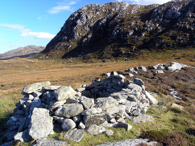
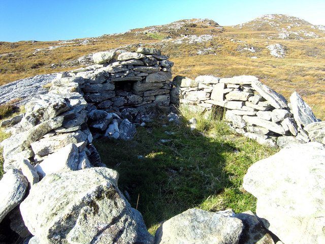
Images are sourced within 2km of 58.185484/-6.8626667 or Grid Reference NB1432. Thanks to Geograph Open Source API. All images are credited.

Shieling at the head of Loch Strome Ruined shieling (Airigh nan Carn) with the remains of the township of Strome on the water's edge, and the hill Stromacleit behind.
Shieling at the head of Loch Strome
Ruined shieling (Airigh nan Carn) with the remains of the township of Strome on the water's edge, and the hill Stromacleit behind.
Village of Strome Ruined blackhouses in the village of Strome at the head of Loch Strome.
Village of Strome
Ruined blackhouses in the village of Strome at the head of Loch Strome.
Loch Strome Ruins in the deserted village of Strome, looking down Loch Strome towards Loch Roag.
Loch Strome
Ruins in the deserted village of Strome, looking down Loch Strome towards Loch Roag.
Shieling below Sron Mhor Ruined shieling near Strome.
Shieling below Sron Mhor
Ruined shieling near Strome.
Shieling near Strome Ruined shieling (and another visible in the distance) on moorland below Sron Mhor.
Shieling near Strome
Ruined shieling (and another visible in the distance) on moorland below Sron Mhor.
Cliatasay On the island of Cliatasay in Loch Roag, on the site of a kelp kiln.  Vuia Mhor is visible in the distance.  The Geshader crofters used to graze their bull on this island.
Cliatasay
On the island of Cliatasay in Loch Roag, on the site of a kelp kiln. Vuia Mhor is visible in the distance. The Geshader crofters used to graze their bull on this island.
Cliatasay Natural landing stage on the island of Cliatasay in Loch Roag, used for the manufacture of potash from kelp in the early 19th century.  Vuia Mhor in the distance.
Cliatasay
Natural landing stage on the island of Cliatasay in Loch Roag, used for the manufacture of potash from kelp in the early 19th century. Vuia Mhor in the distance.
Cliatasay The rather featureless west-side of Cliatasay in Loch Roag; evidence of an old peat-cutting.
Cliatasay
The rather featureless west-side of Cliatasay in Loch Roag; evidence of an old peat-cutting.
Mullach Sgrithir Eileanan Loch Rog bho mullach Sgrithir.  The islands of Loch Roag from the top of Sgrithir (pronounced Skreeher).  The islands are Bhuaigh Beag, Bhuaigh Mor, Great Bernera to the right and on the horizon The Old Hill and Berisay.
Mullach Sgrithir
Eileanan Loch Rog bho mullach Sgrithir. The islands of Loch Roag from the top of Sgrithir (pronounced Skreeher). The islands are Bhuaigh Beag, Bhuaigh Mor, Great Bernera to the right and on the horizon The Old Hill and Berisay.
Loch an Strom and Aird Orasaigh Loch an Strom (Norse = Straumr meaning a tidal current) and Aird Orasaigh (Norse = Orfirsey meaning a tidal island)
Loch an Strom and Aird Orasaigh
Loch an Strom (Norse = Straumr meaning a tidal current) and Aird Orasaigh (Norse = Orfirsey meaning a tidal island)
An Sruth A lonely lobster boat at the mouth of Little Loch Roag known as An Sruth.  A typical fjord being shallower and narrower at the mouth than further in as the glacier deposited its accumulated muck on its way out to the open sea.
An Sruth
A lonely lobster boat at the mouth of Little Loch Roag known as An Sruth. A typical fjord being shallower and narrower at the mouth than further in as the glacier deposited its accumulated muck on its way out to the open sea.
Ganstotal and Garbh Eilean A rock fishing mark at the cultivated area to the rear of Geisiadar known as Ganstotal.  The island of Garbh Eilean being the destination for swimming challenges for local youth.
Ganstotal and Garbh Eilean
A rock fishing mark at the cultivated area to the rear of Geisiadar known as Ganstotal. The island of Garbh Eilean being the destination for swimming challenges for local youth.
Abandoned millstone A half built mill stone at Ganstotal with the last section chiselled to a curve but not finished off.  It is possible of course that this is an early attempt by the MacFlintstone clan of Ungeshader to invent the wheel a few millennia after it was patented by the mob out of the Whacky Races.
Abandoned millstone
A half built mill stone at Ganstotal with the last section chiselled to a curve but not finished off. It is possible of course that this is an early attempt by the MacFlintstone clan of Ungeshader to invent the wheel a few millennia after it was patented by the mob out of the Whacky Races.
Show me another place!

Tòb na Carradh is located at Grid Ref: NB1432 (Lat: 58.185484, Lng: -6.8626667)

Unitary Authority: Na h-Eileanan an Iar

Police Authority: Highlands and Islands

What 3 Words

///quote.gates.thinkers. Near Carloway, Na h-Eileanan Siar

Related Wikis

Fuaigh Beag

Fuaigh Beag or Vuia Be(a)g is an island in the Outer Hebrides. It is off the west coast of Lewis near Great Bernera in Loch Roag. Its name means "little...

Loch Ròg

Loch Ròg or Loch Roag is a large sea loch on the west coast of Lewis, Outer Hebrides. It is broadly divided into East Loch Roag and West Loch Roag with...

Callanish VIII

The Callanish VIII stone setting is one of many megalithic structures around the better-known (and larger) Calanais I on the west coast of the Isle of...

Fuaigh Mòr

Fuaigh Mòr (sometimes anglicised as Vuia Mor) is an island in the Outer Hebrides of Scotland. It is off the west coast of Lewis near Great Bernera in...

Nearby Amenities

Located within 500m of 58.185484,-6.8626667
Loch Drobhanais
Natural: bay
Lat/Long: 58.1838779/-6.8645485
The data included in this document is from www.openstreetmap.org. The data is made available under ODbL.

Have you been to Tòb na Carradh?

Leave your review of Tòb na Carradh below (or comments, questions and feedback).