Sgeir a' Mharaich
Island in Ross-shire
Scotland
Sgeir a' Mharaich
Sgeir a' Mharaich is a small uninhabited island located off the coast of Ross-shire in Scotland. It is situated in the Inner Sound, between the Isle of Skye and the mainland. The island is roughly 2 kilometers long and 1 kilometer wide, with an area of approximately 1 square kilometer.
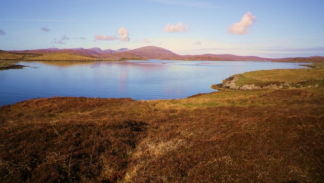
Sgeir a' Mharaich is known for its rugged and rocky terrain, characterized by steep cliffs and jagged rocks. The island is largely uninhabitable due to its inhospitable landscape, making it a secluded and untouched destination for nature enthusiasts and bird watchers.
The island is home to a diverse range of bird species, including puffins, guillemots, razorbills, and various seabirds. It serves as an important breeding ground and sanctuary for these birds, making it a popular spot for wildlife enthusiasts and photographers.
Access to Sgeir a' Mharaich is primarily by boat, as there are no regular ferry services to the island. Visitors can take organized boat tours or hire private boats to reach the island. However, caution is advised as the waters surrounding the island can be treacherous, with strong currents and unpredictable weather conditions.
Overall, Sgeir a' Mharaich offers a unique and remote experience for those seeking tranquility and natural beauty. Its untouched landscape and abundant birdlife make it a must-visit destination for nature lovers exploring the Ross-shire region of Scotland.
If you have any feedback on the listing, please let us know in the comments section below.
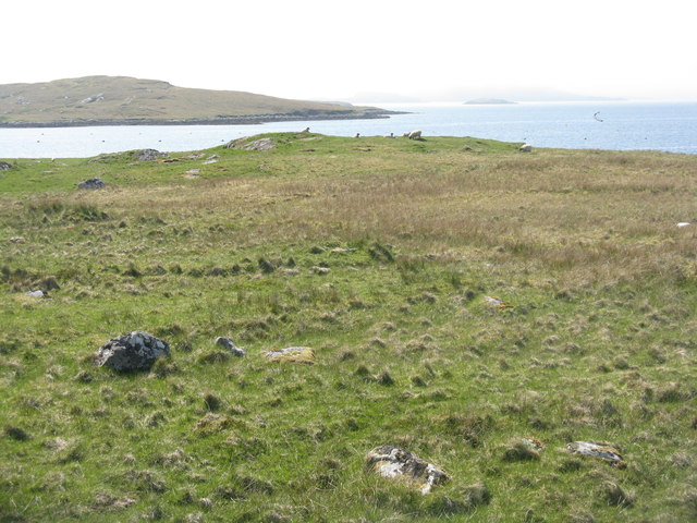
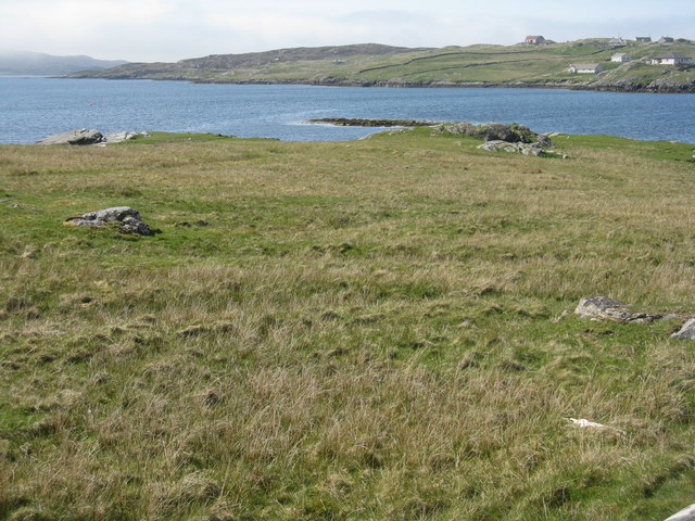
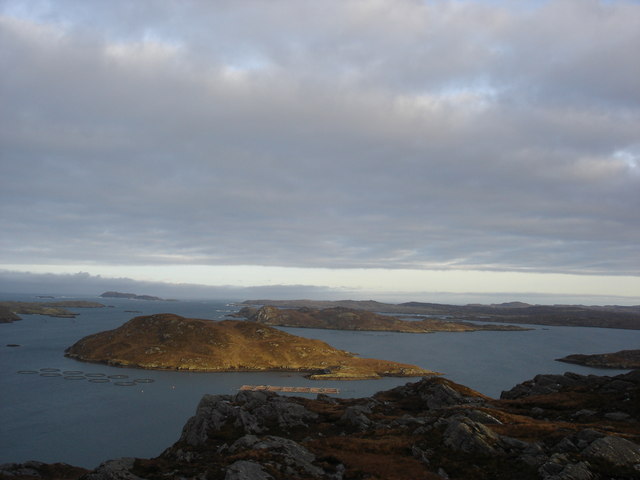
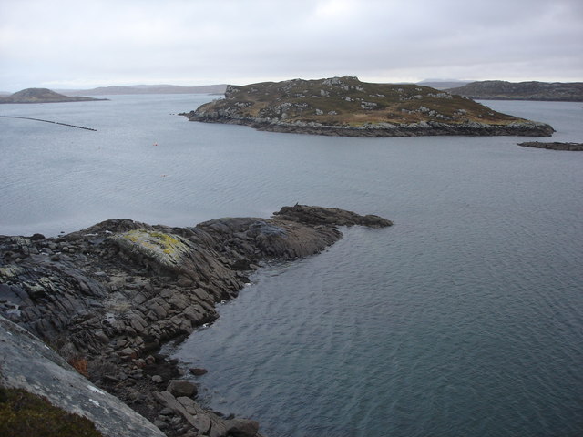
Sgeir a' Mharaich Images
Images are sourced within 2km of 58.190182/-6.8630714 or Grid Reference NB1432. Thanks to Geograph Open Source API. All images are credited.


Sgeir a' Mharaich is located at Grid Ref: NB1432 (Lat: 58.190182, Lng: -6.8630714)
Unitary Authority: Na h-Eileanan an Iar
Police Authority: Highlands and Islands
What 3 Words
///happening.contacts.vest. Near Carloway, Na h-Eileanan Siar
Related Wikis

Fuaigh Beag
Fuaigh Beag or Vuia Be(a)g is an island in the Outer Hebrides. It is off the west coast of Lewis near Great Bernera in Loch Roag. Its name means "little...
Loch Ròg
Loch Ròg or Loch Roag is a large sea loch on the west coast of Lewis, Outer Hebrides. It is broadly divided into East Loch Roag and West Loch Roag with...

Callanish VIII
The Callanish VIII stone setting is one of many megalithic structures around the better-known (and larger) Calanais I on the west coast of the Isle of...
Fuaigh Mòr
Fuaigh Mòr (sometimes anglicised as Vuia Mor) is an island in the Outer Hebrides of Scotland. It is off the west coast of Lewis near Great Bernera in...
Have you been to Sgeir a' Mharaich?
Leave your review of Sgeir a' Mharaich below (or comments, questions and feedback).