Àird Tearstanish

Coastal Feature, Headland, Point in Ross-shire

Scotland

Àird Tearstanish

Eileen Louise at Ãird Iarsiadar Mussel farm service boat. Moored at its jetty on the Atlantic coast of Lewis; looking across to Great Bernera/Breàrnaraigh
Eileen Louise at Ãird Iarsiadar Credit: M J Richardson

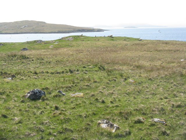
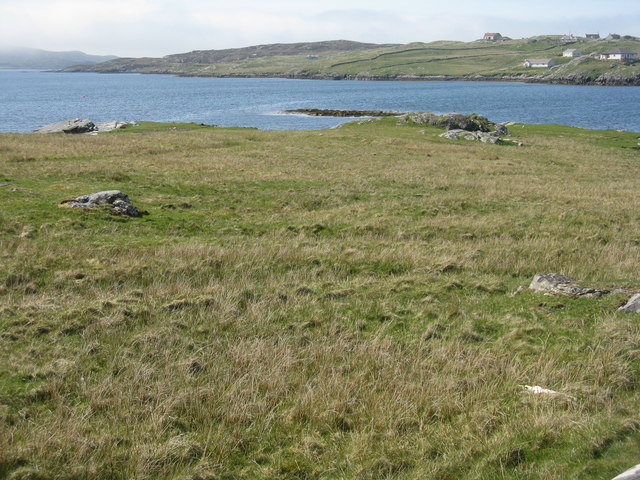
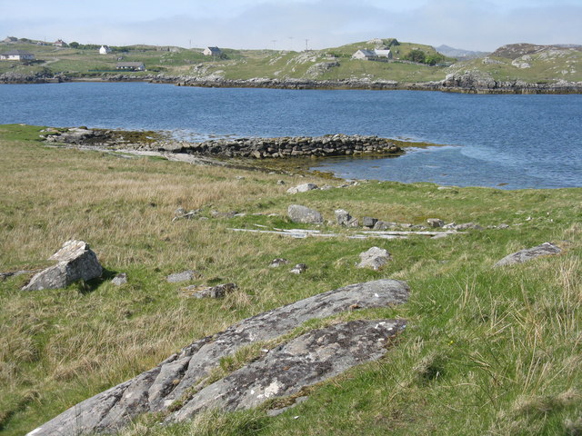
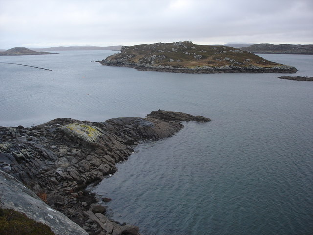
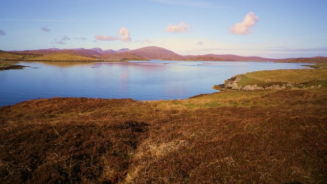
Àird Tearstanish is a prominent coastal feature located in the county of Ross-shire, Scotland. Situated on the western coast of the Scottish Highlands, this headland is a picturesque point that extends out into the North Atlantic Ocean.

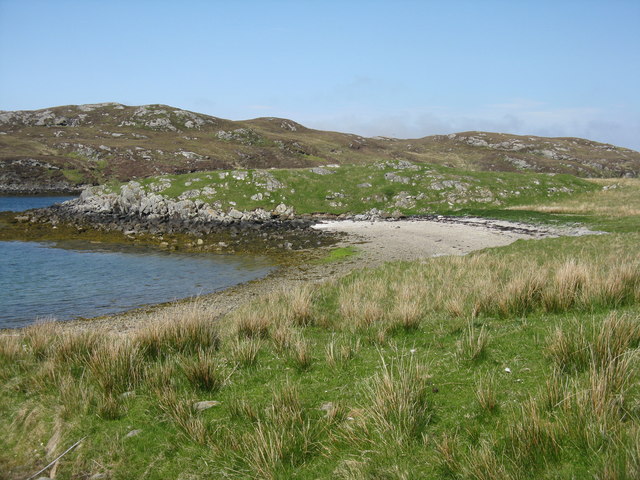
The headland is characterized by its rugged cliffs, reaching heights of approximately 100 feet, which offer breathtaking panoramic views of the surrounding natural beauty. Its position on the coast makes it an ideal spot for observing marine wildlife, as seals, dolphins, and various seabirds can often be seen in the waters below.

The landscape surrounding Àird Tearstanish is mainly composed of grassy slopes and heather-covered moorland, providing a stunning contrast to the deep blue of the ocean. The area is also dotted with small rocky coves and sandy beaches, adding to its appeal for nature lovers and outdoor enthusiasts.

Historically, Àird Tearstanish has been an important landmark for seafarers navigating the treacherous waters of the North Atlantic. Its strategic position made it a valuable reference point for sailors, and remnants of old navigational markers can still be found along the headland.

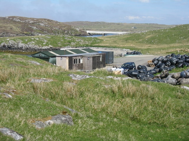
Access to Àird Tearstanish is relatively easy, with a well-maintained footpath leading visitors to the point. Hiking along the headland offers a rewarding experience, allowing visitors to fully appreciate the awe-inspiring coastal scenery.

Overall, Àird Tearstanish is a stunning coastal feature that showcases the natural beauty of the Scottish Highlands. Its dramatic cliffs, diverse wildlife, and historic significance make it a must-visit destination for those seeking a true Scottish coastal experience.

If you have any feedback on the listing, please let us know in the comments section below.

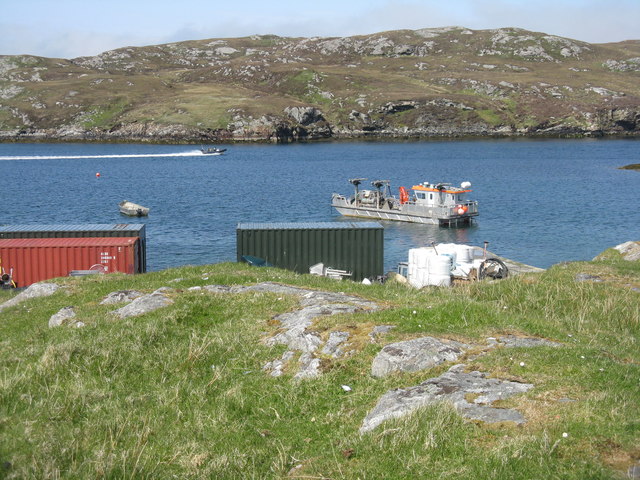
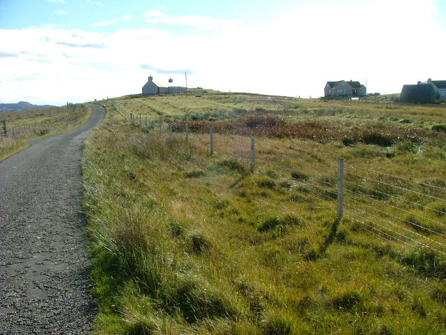
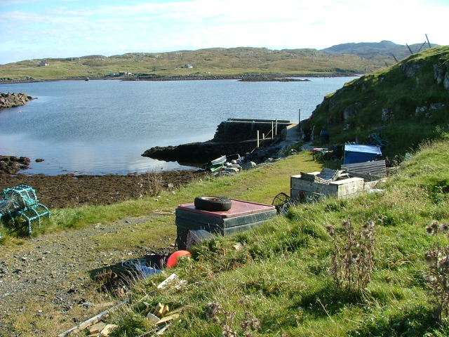
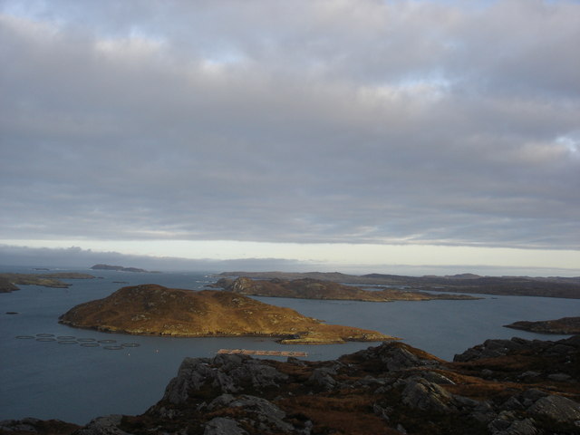
Àird Tearstanish Images

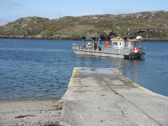
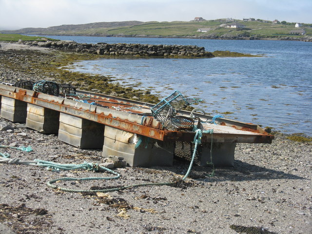
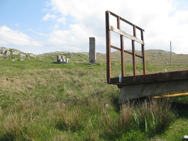
Images are sourced within 2km of 58.192128/-6.8618386 or Grid Reference NB1432. Thanks to Geograph Open Source API. All images are credited.

Eileen Louise at Ãird Iarsiadar Mussel farm service boat. Moored at its jetty on the Atlantic coast of Lewis; looking across to Great Bernera/Breàrnaraigh
Eileen Louise at Ãird Iarsiadar
Mussel farm service boat. Moored at its jetty on the Atlantic coast of Lewis; looking across to Great Bernera/Breàrnaraigh
Pontoon at Ãird Iarsiadar On shore at the mussel farm, with an old wall or jetty beyond. Great Bernera/Beàrnaraigh is beyond.
Pontoon at Ãird Iarsiadar
On shore at the mussel farm, with an old wall or jetty beyond. Great Bernera/Beàrnaraigh is beyond.
Trailer at Iarsiadar At the end of the road, at the mussel farm in <a href="https://www.geograph.org.uk/gridref/NB1533">NB1533</a>.
Trailer at Iarsiadar
At the end of the road, at the mussel farm in NB1533.
Small beach at Rubha Sheothail Looking out to Sruth Iarsiadsair.
Small beach at Rubha Sheothail
Looking out to Sruth Iarsiadsair.
Loch Ròg Looking from Ãird Iarsiadar to Ãird Tòranais.
Loch Ròg
Looking from Ãird Iarsiadar to Ãird Tòranais.
Rubha na h-Eubhaich Looking northwest across Loch Ròg to Hacklete/Tacleit on Great Bernera/Beàrnaraigh
Rubha na h-Eubhaich
Looking northwest across Loch Ròg to Hacklete/Tacleit on Great Bernera/Beàrnaraigh
Breakwater at Iarsiadar Looking north, across Sruth Iarsiadar, to houses at Hacklete/Tacleit on Great Bernera/Beàrnaraigh.
Breakwater at Iarsiadar
Looking north, across Sruth Iarsiadar, to houses at Hacklete/Tacleit on Great Bernera/Beàrnaraigh.
Mussel farm building at Iarsiadar With the Bernera Bridge beyond, connecting the Isle of Lewis to Great Bernera/Beàrnaraigh.
Mussel farm building at Iarsiadar
With the Bernera Bridge beyond, connecting the Isle of Lewis to Great Bernera/Beàrnaraigh.
Boats at Iarsiadar Looking across Sruth Iarsiadar to Great Bernera/Beàrnaraigh from the mussel fishery yard at Iarsiadar.
Boats at Iarsiadar
Looking across Sruth Iarsiadar to Great Bernera/Beàrnaraigh from the mussel fishery yard at Iarsiadar.
Houses at Tacleit Tacleit is a small crofting settlement on the southeastern coast of Bearnaraigh (Great Bernera)
Houses at Tacleit
Tacleit is a small crofting settlement on the southeastern coast of Bearnaraigh (Great Bernera)
Tacleit Pier The township of Tacleit is on the southwest coast of Bearnaraigh.The view is towards Iarsiadar on the Lewis mainland.
Tacleit Pier
The township of Tacleit is on the southwest coast of Bearnaraigh.The view is towards Iarsiadar on the Lewis mainland.
Cliatasay On the island of Cliatasay in Loch Roag, on the site of a kelp kiln.  Vuia Mhor is visible in the distance.  The Geshader crofters used to graze their bull on this island.
Cliatasay
On the island of Cliatasay in Loch Roag, on the site of a kelp kiln. Vuia Mhor is visible in the distance. The Geshader crofters used to graze their bull on this island.
Cliatasay Natural landing stage on the island of Cliatasay in Loch Roag, used for the manufacture of potash from kelp in the early 19th century.  Vuia Mhor in the distance.
Cliatasay
Natural landing stage on the island of Cliatasay in Loch Roag, used for the manufacture of potash from kelp in the early 19th century. Vuia Mhor in the distance.
Cliatasay The rather featureless west-side of Cliatasay in Loch Roag; evidence of an old peat-cutting.
Cliatasay
The rather featureless west-side of Cliatasay in Loch Roag; evidence of an old peat-cutting.
Mullach Sgrithir Eileanan Loch Rog bho mullach Sgrithir.  The islands of Loch Roag from the top of Sgrithir (pronounced Skreeher).  The islands are Bhuaigh Beag, Bhuaigh Mor, Great Bernera to the right and on the horizon The Old Hill and Berisay.
Mullach Sgrithir
Eileanan Loch Rog bho mullach Sgrithir. The islands of Loch Roag from the top of Sgrithir (pronounced Skreeher). The islands are Bhuaigh Beag, Bhuaigh Mor, Great Bernera to the right and on the horizon The Old Hill and Berisay.
Ganstotal and Garbh Eilean A rock fishing mark at the cultivated area to the rear of Geisiadar known as Ganstotal.  The island of Garbh Eilean being the destination for swimming challenges for local youth.
Ganstotal and Garbh Eilean
A rock fishing mark at the cultivated area to the rear of Geisiadar known as Ganstotal. The island of Garbh Eilean being the destination for swimming challenges for local youth.
Loch Roag Hacklete Loch Roag Hacklete Great Bernera
Loch Roag Hacklete
Loch Roag Hacklete Great Bernera
Show me another place!

Àird Tearstanish is located at Grid Ref: NB1432 (Lat: 58.192128, Lng: -6.8618386)

Unitary Authority: Na h-Eileanan an Iar

Police Authority: Highlands and Islands

What 3 Words

///drape.helped.thigh. Near Carloway, Na h-Eileanan Siar

Related Wikis

Loch Ròg

Loch Ròg or Loch Roag is a large sea loch on the west coast of Lewis, Outer Hebrides. It is broadly divided into East Loch Roag and West Loch Roag with...

Fuaigh Beag

Fuaigh Beag or Vuia Be(a)g is an island in the Outer Hebrides. It is off the west coast of Lewis near Great Bernera in Loch Roag. Its name means "little...

Callanish VIII

The Callanish VIII stone setting is one of many megalithic structures around the better-known (and larger) Calanais I on the west coast of the Isle of...

Fuaigh Mòr

Fuaigh Mòr (sometimes anglicised as Vuia Mor) is an island in the Outer Hebrides of Scotland. It is off the west coast of Lewis near Great Bernera in...

Nearby Amenities

Located within 500m of 58.192128,-6.8618386
Created By: dmgroom_coastlines
Lat/Long: 58.19585/-6.86656
The data included in this document is from www.openstreetmap.org. The data is made available under ODbL.

Have you been to Àird Tearstanish?

Leave your review of Àird Tearstanish below (or comments, questions and feedback).