Tòb na Ruith Àird
Bay in Ross-shire
Scotland
Tòb na Ruith Àird

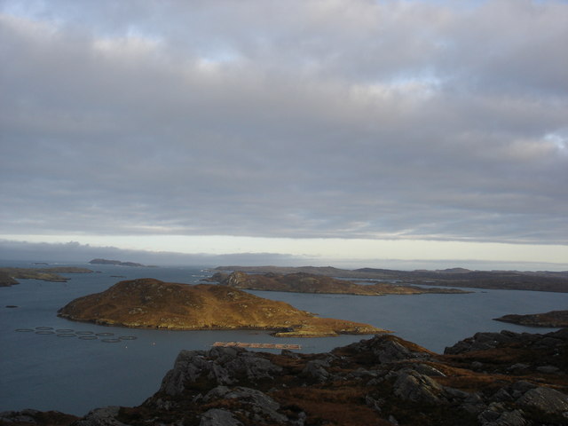
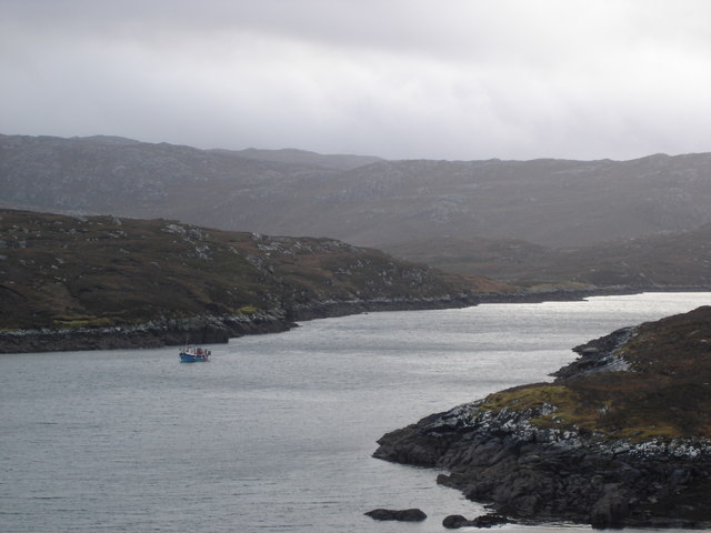
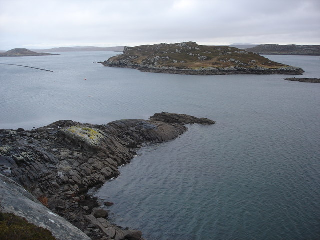
Tòb na Ruith Àird, located in Ross-shire, Scotland, is a stunning bay renowned for its natural beauty and rich history. The bay sits on the western coast of the Highlands, offering visitors breathtaking views of the surrounding rugged cliffs and pristine waters.
The bay is characterized by its crescent-shaped shoreline, which stretches for approximately one mile. With its golden sandy beach and crystal-clear turquoise waters, Tòb na Ruith Àird is a popular destination for beachgoers and water sports enthusiasts alike. The bay provides ample opportunities for swimming, sunbathing, picnicking, and exploring the nearby rock pools.
In addition to its natural allure, Tòb na Ruith Àird is steeped in history. The bay was once a bustling fishing port, and remnants of the old fishing cottages can still be seen along the shoreline. The area has also been inhabited for centuries, with ancient ruins and archaeological sites scattered throughout the surrounding landscape.
Nature lovers will be delighted by the diverse wildlife that calls Tòb na Ruith Àird home. Seals, dolphins, and even the occasional whale can often be spotted in the bay's waters, while the nearby cliffs serve as nesting grounds for various seabird species.
Whether it's for relaxation, outdoor activities, or historical exploration, Tòb na Ruith Àird offers visitors a captivating experience. With its stunning scenery, rich heritage, and abundant wildlife, this bay is a must-visit destination for anyone seeking the beauty and tranquility of the Scottish Highlands.
If you have any feedback on the listing, please let us know in the comments section below.
Tòb na Ruith Àird Images
Images are sourced within 2km of 58.18875/-6.8628923 or Grid Reference NB1432. Thanks to Geograph Open Source API. All images are credited.


Tòb na Ruith Àird is located at Grid Ref: NB1432 (Lat: 58.18875, Lng: -6.8628923)
Unitary Authority: Na h-Eileanan an Iar
Police Authority: Highlands and Islands
What 3 Words
///upholding.text.cashiers. Near Carloway, Na h-Eileanan Siar
Nearby Locations
Related Wikis

Fuaigh Beag
Fuaigh Beag or Vuia Be(a)g is an island in the Outer Hebrides. It is off the west coast of Lewis near Great Bernera in Loch Roag. Its name means "little...
Loch Ròg
Loch Ròg or Loch Roag is a large sea loch on the west coast of Lewis, Outer Hebrides. It is broadly divided into East Loch Roag and West Loch Roag with...

Callanish VIII
The Callanish VIII stone setting is one of many megalithic structures around the better-known (and larger) Calanais I on the west coast of the Isle of...
Fuaigh Mòr
Fuaigh Mòr (sometimes anglicised as Vuia Mor) is an island in the Outer Hebrides of Scotland. It is off the west coast of Lewis near Great Bernera in...
Have you been to Tòb na Ruith Àird?
Leave your review of Tòb na Ruith Àird below (or comments, questions and feedback).