Ceann a' Bhàigh
Bay in Ross-shire
Scotland
Ceann a' Bhàigh

Ceann a' Bhàigh, also known as Inver Bay, is a picturesque coastal area located in Ross-shire, Scotland. Situated on the west coast of the Scottish Highlands, it is renowned for its stunning natural beauty and tranquil surroundings.
The bay is characterized by its pristine sandy beaches, clear turquoise waters, and dramatic cliffs that offer breathtaking panoramic views of the surrounding landscape. It is a popular destination for nature lovers, outdoor enthusiasts, and those seeking a peaceful getaway. The bay's unspoiled beauty provides ample opportunities for activities such as swimming, kayaking, and beachcombing.
Ceann a' Bhàigh is also rich in wildlife, making it a haven for birdwatchers and nature photographers. The bay is home to a variety of bird species, including herons, oystercatchers, and various seabirds. Dolphins and seals are often spotted playing in the bay, adding to the area's charm.
In addition to its natural attractions, the bay is steeped in history. The nearby ruins of Ardvreck Castle, a 16th-century stronghold, offer a glimpse into Scotland's past. Visitors can explore the castle's remains and learn about its turbulent history.
Ceann a' Bhàigh is a small, tranquil community with a few local amenities, including a cafe and a small shop. The area offers a peaceful retreat from the bustling city life, allowing visitors to unwind and reconnect with nature. Whether it's exploring the beautiful coastline, immersing oneself in history, or simply enjoying the serenity of the surroundings, Ceann a' Bhàigh is a place of natural beauty and tranquility.
If you have any feedback on the listing, please let us know in the comments section below.
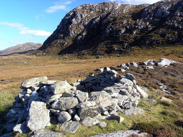
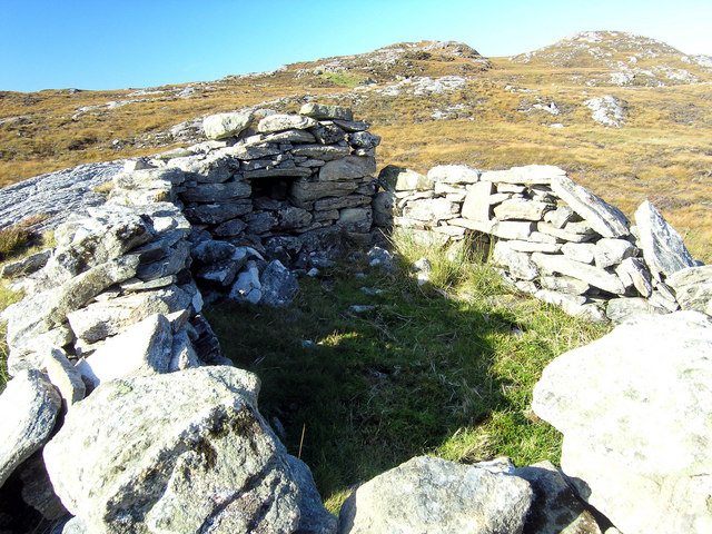
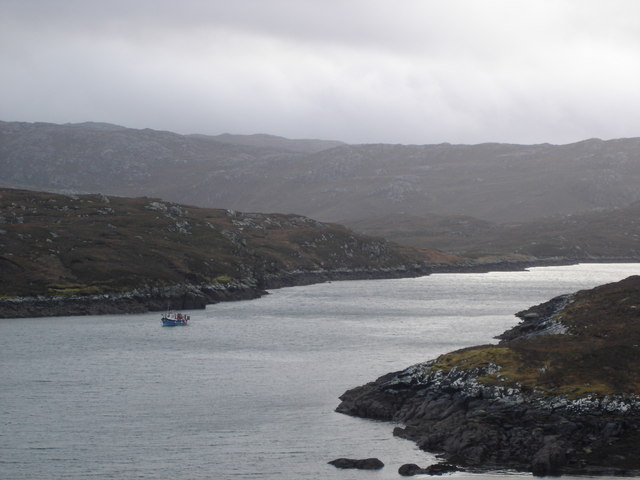
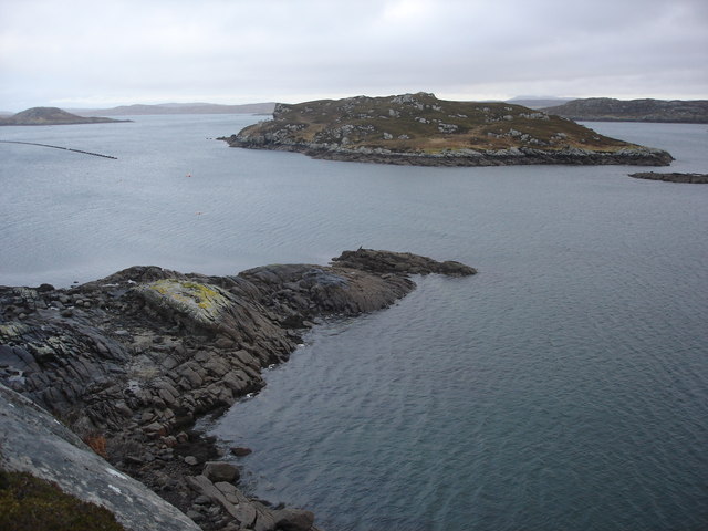
Ceann a' Bhàigh Images
Images are sourced within 2km of 58.181809/-6.8602051 or Grid Reference NB1431. Thanks to Geograph Open Source API. All images are credited.


Ceann a' Bhàigh is located at Grid Ref: NB1431 (Lat: 58.181809, Lng: -6.8602051)
Unitary Authority: Na h-Eileanan an Iar
Police Authority: Highlands and Islands
What 3 Words
///exulted.alive.instilled. Near Carloway, Na h-Eileanan Siar
Nearby Locations
Related Wikis

Fuaigh Beag
Fuaigh Beag or Vuia Be(a)g is an island in the Outer Hebrides. It is off the west coast of Lewis near Great Bernera in Loch Roag. Its name means "little...
Loch Ròg
Loch Ròg or Loch Roag is a large sea loch on the west coast of Lewis, Outer Hebrides. It is broadly divided into East Loch Roag and West Loch Roag with...

Callanish VIII
The Callanish VIII stone setting is one of many megalithic structures around the better-known (and larger) Calanais I on the west coast of the Isle of...
Fuaigh Mòr
Fuaigh Mòr (sometimes anglicised as Vuia Mor) is an island in the Outer Hebrides of Scotland. It is off the west coast of Lewis near Great Bernera in...
Nearby Amenities
Located within 500m of 58.181809,-6.8602051Have you been to Ceann a' Bhàigh?
Leave your review of Ceann a' Bhàigh below (or comments, questions and feedback).