Creag na Caillich

Coastal Feature, Headland, Point in Ross-shire

Scotland

Creag na Caillich

Eileen Louise at Ãird Iarsiadar Mussel farm service boat. Moored at its jetty on the Atlantic coast of Lewis; looking across to Great Bernera/Breàrnaraigh
Eileen Louise at Ãird Iarsiadar Credit: M J Richardson

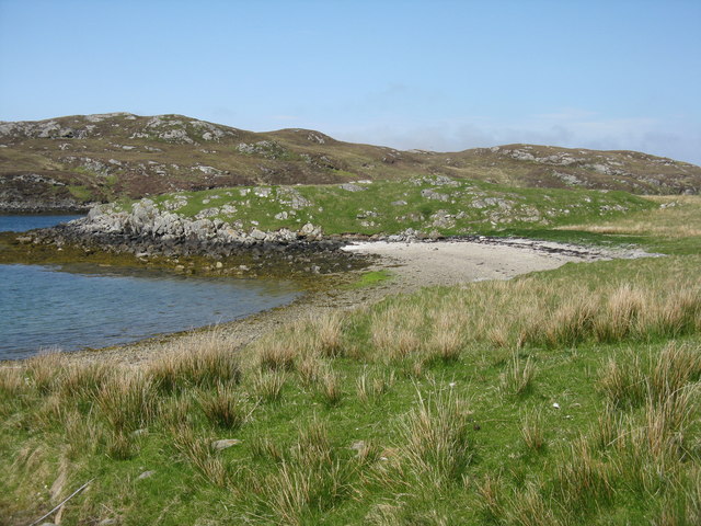
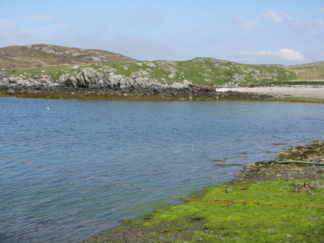
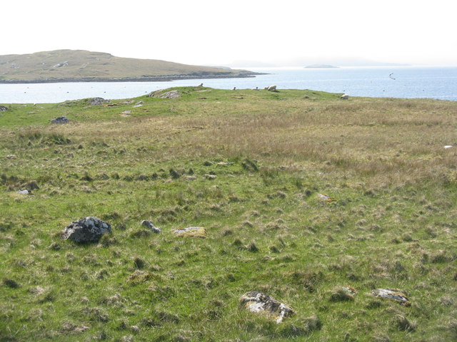
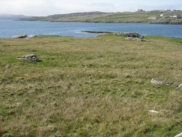
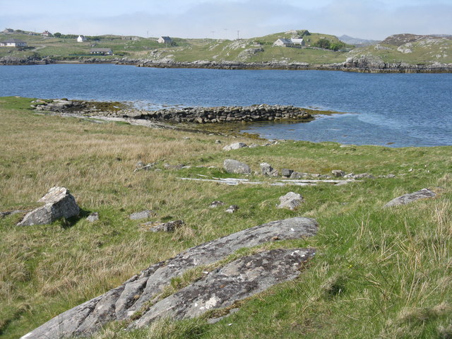
Creag na Caillich is a prominent coastal feature located in Ross-shire, Scotland. It is classified as a headland or point due to its geographical characteristics and its protrusion into the sea. The name "Creag na Caillich" translates to "Rock of the Old Woman" in English, which refers to its distinctive rock formations and the local folklore surrounding it.

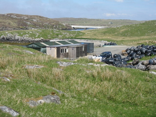
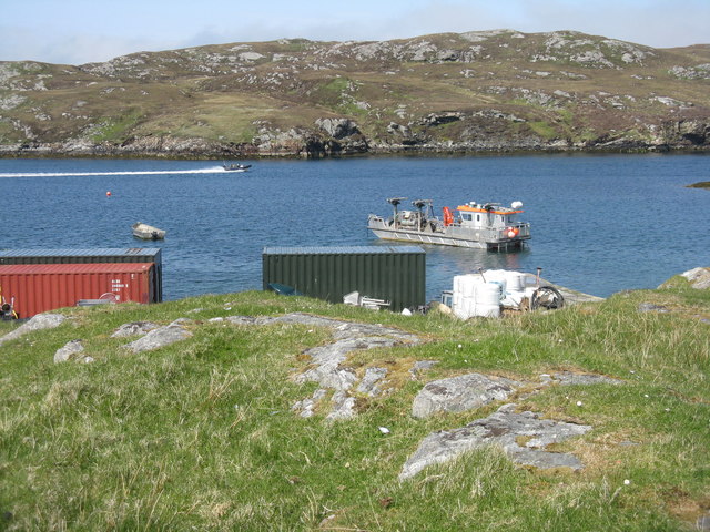
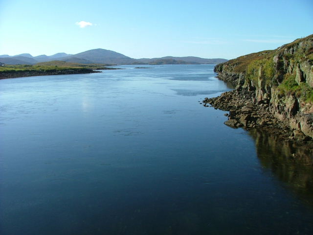
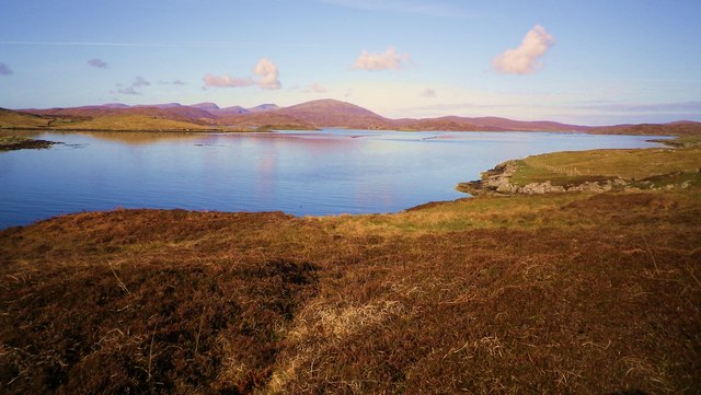
Situated on the eastern coast of Ross-shire, Creag na Caillich offers breathtaking views of the surrounding landscape and the North Sea. The headland is composed mainly of rugged cliffs, rising to an impressive height above sea level. These cliffs are formed by layers of sandstone and shale, giving them a distinct reddish-brown color.

The rocky terrain of Creag na Caillich is interspersed with several natural caves and crevices, which add to its allure and intrigue. These caves are often explored by adventurous visitors, revealing hidden chambers and providing a glimpse into the geological history of the area.

The headland is also home to a diverse range of flora and fauna. The coastal grasslands and heathland surrounding Creag na Caillich support a variety of plant species, including sea pink, thrift, and heather. The waters around the headland are teeming with marine life, making it a popular spot for angling and birdwatching.

Creag na Caillich is not only an attractive natural feature but also holds cultural significance. It is said to be the dwelling place of an old witch, according to local legends. This folklore adds a sense of mystery and enchantment to the headland, captivating the imagination of visitors and locals alike.

Overall, Creag na Caillich is a captivating and picturesque headland in Ross-shire, offering a unique blend of natural beauty, geological interest, and cultural folklore.

If you have any feedback on the listing, please let us know in the comments section below.

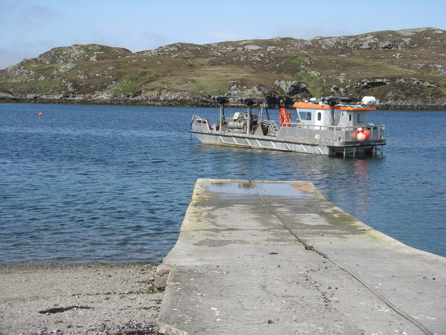
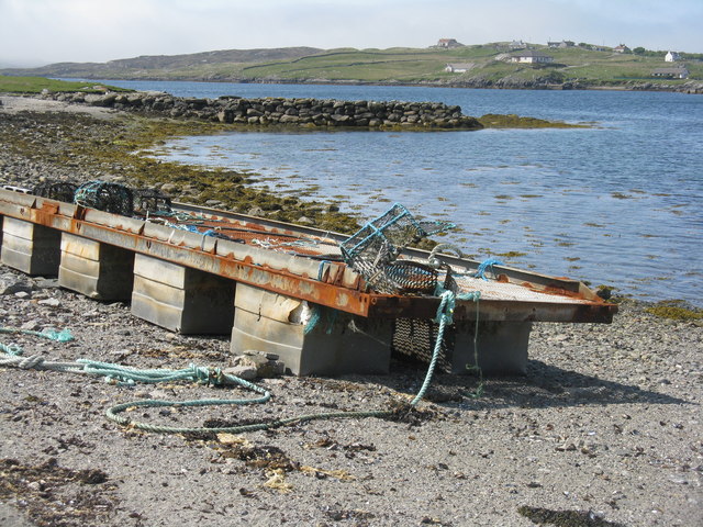
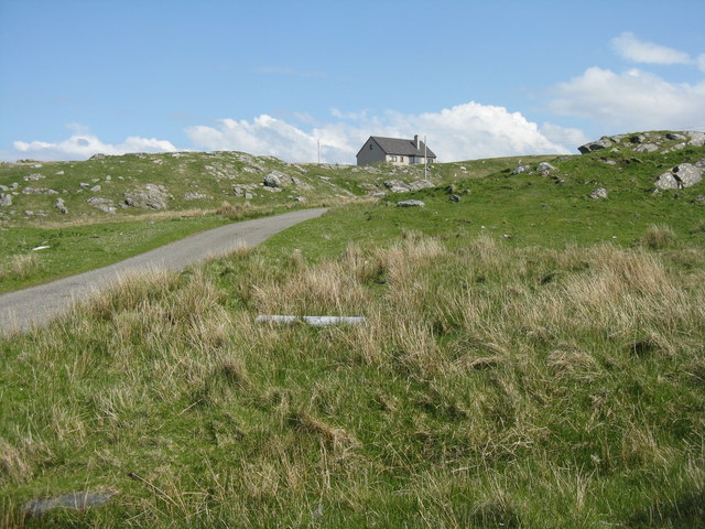
Creag na Caillich Images

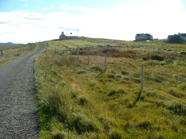
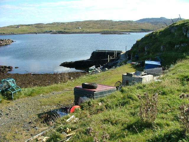
Images are sourced within 2km of 58.192121/-6.8570677 or Grid Reference NB1432. Thanks to Geograph Open Source API. All images are credited.

Eileen Louise at Ãird Iarsiadar Mussel farm service boat. Moored at its jetty on the Atlantic coast of Lewis; looking across to Great Bernera/Breàrnaraigh
Eileen Louise at Ãird Iarsiadar
Mussel farm service boat. Moored at its jetty on the Atlantic coast of Lewis; looking across to Great Bernera/Breàrnaraigh
Pontoon at Ãird Iarsiadar On shore at the mussel farm, with an old wall or jetty beyond. Great Bernera/Beàrnaraigh is beyond.
Pontoon at Ãird Iarsiadar
On shore at the mussel farm, with an old wall or jetty beyond. Great Bernera/Beàrnaraigh is beyond.
Trailer at Iarsiadar At the end of the road, at the mussel farm in <a href="https://www.geograph.org.uk/gridref/NB1533">NB1533</a>.
Trailer at Iarsiadar
At the end of the road, at the mussel farm in NB1533.
House at Iarsiadar Looking east from Àird Iarsiadar.
House at Iarsiadar
Looking east from Àird Iarsiadar.
Small beach at Rubha Sheothail Looking out to Sruth Iarsiadsair.
Small beach at Rubha Sheothail
Looking out to Sruth Iarsiadsair.
Rubha Sheothail Small bay and headland at Iarsiadar.
Rubha Sheothail
Small bay and headland at Iarsiadar.
Loch Ròg Looking from Ãird Iarsiadar to Ãird Tòranais.
Loch Ròg
Looking from Ãird Iarsiadar to Ãird Tòranais.
Rubha na h-Eubhaich Looking northwest across Loch Ròg to Hacklete/Tacleit on Great Bernera/Beàrnaraigh
Rubha na h-Eubhaich
Looking northwest across Loch Ròg to Hacklete/Tacleit on Great Bernera/Beàrnaraigh
Breakwater at Iarsiadar Looking north, across Sruth Iarsiadar, to houses at Hacklete/Tacleit on Great Bernera/Beàrnaraigh.
Breakwater at Iarsiadar
Looking north, across Sruth Iarsiadar, to houses at Hacklete/Tacleit on Great Bernera/Beàrnaraigh.
Mussel farm building at Iarsiadar With the Bernera Bridge beyond, connecting the Isle of Lewis to Great Bernera/Beàrnaraigh.
Mussel farm building at Iarsiadar
With the Bernera Bridge beyond, connecting the Isle of Lewis to Great Bernera/Beàrnaraigh.
Boats at Iarsiadar Looking across Sruth Iarsiadar to Great Bernera/Beàrnaraigh from the mussel fishery yard at Iarsiadar.
Boats at Iarsiadar
Looking across Sruth Iarsiadar to Great Bernera/Beàrnaraigh from the mussel fishery yard at Iarsiadar.
Sruth Iarsiadar Looking west from the Lewis to Bearnaraigh bridge.
Sruth Iarsiadar
Looking west from the Lewis to Bearnaraigh bridge.
Houses at Tacleit Tacleit is a small crofting settlement on the southeastern coast of Bearnaraigh (Great Bernera)
Houses at Tacleit
Tacleit is a small crofting settlement on the southeastern coast of Bearnaraigh (Great Bernera)
Tacleit Pier The township of Tacleit is on the southwest coast of Bearnaraigh.The view is towards Iarsiadar on the Lewis mainland.
Tacleit Pier
The township of Tacleit is on the southwest coast of Bearnaraigh.The view is towards Iarsiadar on the Lewis mainland.
Cliatasay On the island of Cliatasay in Loch Roag, on the site of a kelp kiln.  Vuia Mhor is visible in the distance.  The Geshader crofters used to graze their bull on this island.
Cliatasay
On the island of Cliatasay in Loch Roag, on the site of a kelp kiln. Vuia Mhor is visible in the distance. The Geshader crofters used to graze their bull on this island.
Cliatasay Natural landing stage on the island of Cliatasay in Loch Roag, used for the manufacture of potash from kelp in the early 19th century.  Vuia Mhor in the distance.
Cliatasay
Natural landing stage on the island of Cliatasay in Loch Roag, used for the manufacture of potash from kelp in the early 19th century. Vuia Mhor in the distance.
Cliatasay The rather featureless west-side of Cliatasay in Loch Roag; evidence of an old peat-cutting.
Cliatasay
The rather featureless west-side of Cliatasay in Loch Roag; evidence of an old peat-cutting.
Loch Roag Hacklete Loch Roag Hacklete Great Bernera
Loch Roag Hacklete
Loch Roag Hacklete Great Bernera
Show me another place!

Creag na Caillich is located at Grid Ref: NB1432 (Lat: 58.192121, Lng: -6.8570677)

Unitary Authority: Na h-Eileanan an Iar

Police Authority: Highlands and Islands

What 3 Words

///command.fence.disgraced. Near Carloway, Na h-Eileanan Siar

Related Wikis

Callanish VIII

The Callanish VIII stone setting is one of many megalithic structures around the better-known (and larger) Calanais I on the west coast of the Isle of...

Loch Ròg

Loch Ròg or Loch Roag is a large sea loch on the west coast of Lewis, Outer Hebrides. It is broadly divided into East Loch Roag and West Loch Roag with...

Fuaigh Beag

Fuaigh Beag or Vuia Be(a)g is an island in the Outer Hebrides. It is off the west coast of Lewis near Great Bernera in Loch Roag. Its name means "little...

Fuaigh Mòr

Fuaigh Mòr (sometimes anglicised as Vuia Mor) is an island in the Outer Hebrides of Scotland. It is off the west coast of Lewis near Great Bernera in...

Have you been to Creag na Caillich?

Leave your review of Creag na Caillich below (or comments, questions and feedback).