Druim Àirigh na h-Uireach
Coastal Feature, Headland, Point in Ross-shire
Scotland
Druim Àirigh na h-Uireach
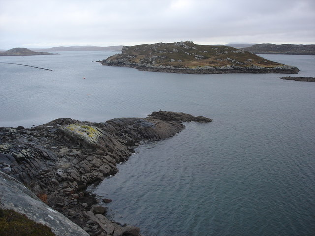
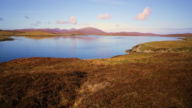
Druim Àirigh na h-Uireach is a prominent coastal feature located in Ross-shire, Scotland. It is a headland or point that extends into the North Atlantic Ocean, offering stunning views and a rugged landscape. The name translates to "Ridge of the Shieling on the Point" in English.
This headland is characterized by its rocky cliffs and steep slopes, which provide a natural barrier against the crashing waves of the ocean. The jagged coastline is a result of the erosion caused by the relentless force of the sea over thousands of years. The cliffs rise to impressive heights, creating a dramatic backdrop against the deep blue waters below.
Druim Àirigh na h-Uireach is known for its diverse wildlife. Seabirds, such as gulls, puffins, and razorbills, nest along the cliffs, creating a bustling and noisy colony during the breeding season. The surrounding waters are also home to various marine species, including seals and dolphins, which can often be spotted swimming close to the shore.
Visitors to Druim Àirigh na h-Uireach can enjoy breathtaking coastal walks along the headland, taking in the panoramic views of the ocean and the surrounding landscape. The rugged terrain and unspoiled nature of the area make it a popular spot for outdoor enthusiasts, including hikers and photographers.
Overall, Druim Àirigh na h-Uireach is a picturesque coastal feature that showcases the natural beauty and diversity of the Scottish coastline. Its dramatic cliffs, abundant wildlife, and stunning views make it a must-visit destination for nature lovers and those seeking a peaceful escape in the Ross-shire region.
If you have any feedback on the listing, please let us know in the comments section below.
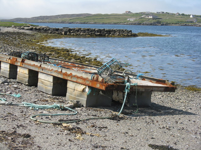
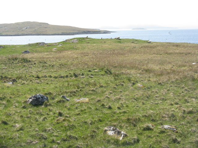
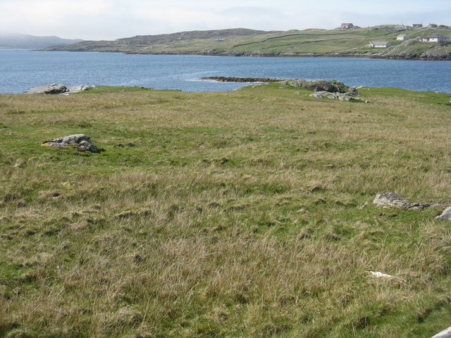
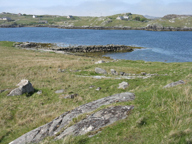
Druim Àirigh na h-Uireach Images
Images are sourced within 2km of 58.188274/-6.8579214 or Grid Reference NB1432. Thanks to Geograph Open Source API. All images are credited.


Druim Àirigh na h-Uireach is located at Grid Ref: NB1432 (Lat: 58.188274, Lng: -6.8579214)
Unitary Authority: Na h-Eileanan an Iar
Police Authority: Highlands and Islands
What 3 Words
///nanny.testers.less. Near Carloway, Na h-Eileanan Siar
Related Wikis

Fuaigh Beag
Fuaigh Beag or Vuia Be(a)g is an island in the Outer Hebrides. It is off the west coast of Lewis near Great Bernera in Loch Roag. Its name means "little...

Callanish VIII
The Callanish VIII stone setting is one of many megalithic structures around the better-known (and larger) Calanais I on the west coast of the Isle of...
Loch Ròg
Loch Ròg or Loch Roag is a large sea loch on the west coast of Lewis, Outer Hebrides. It is broadly divided into East Loch Roag and West Loch Roag with...
Fuaigh Mòr
Fuaigh Mòr (sometimes anglicised as Vuia Mor) is an island in the Outer Hebrides of Scotland. It is off the west coast of Lewis near Great Bernera in...
Have you been to Druim Àirigh na h-Uireach?
Leave your review of Druim Àirigh na h-Uireach below (or comments, questions and feedback).