Tidmoor Cove

Sea, Estuary, Creek in Dorset

England

Tidmoor Cove

The old church at East Fleet near Chickerell
The old church at East Fleet near Chickerell Credit: Colin Park

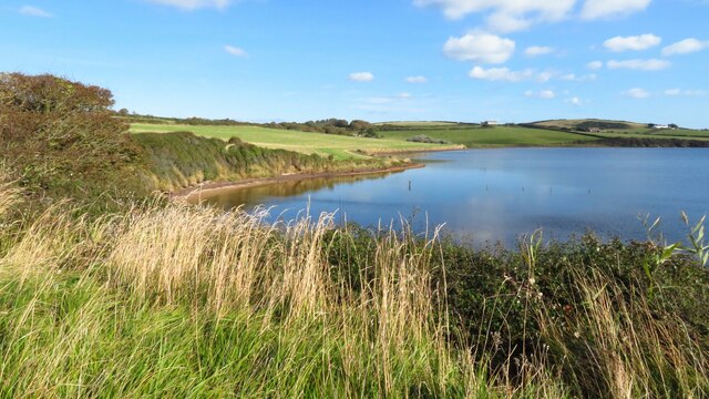
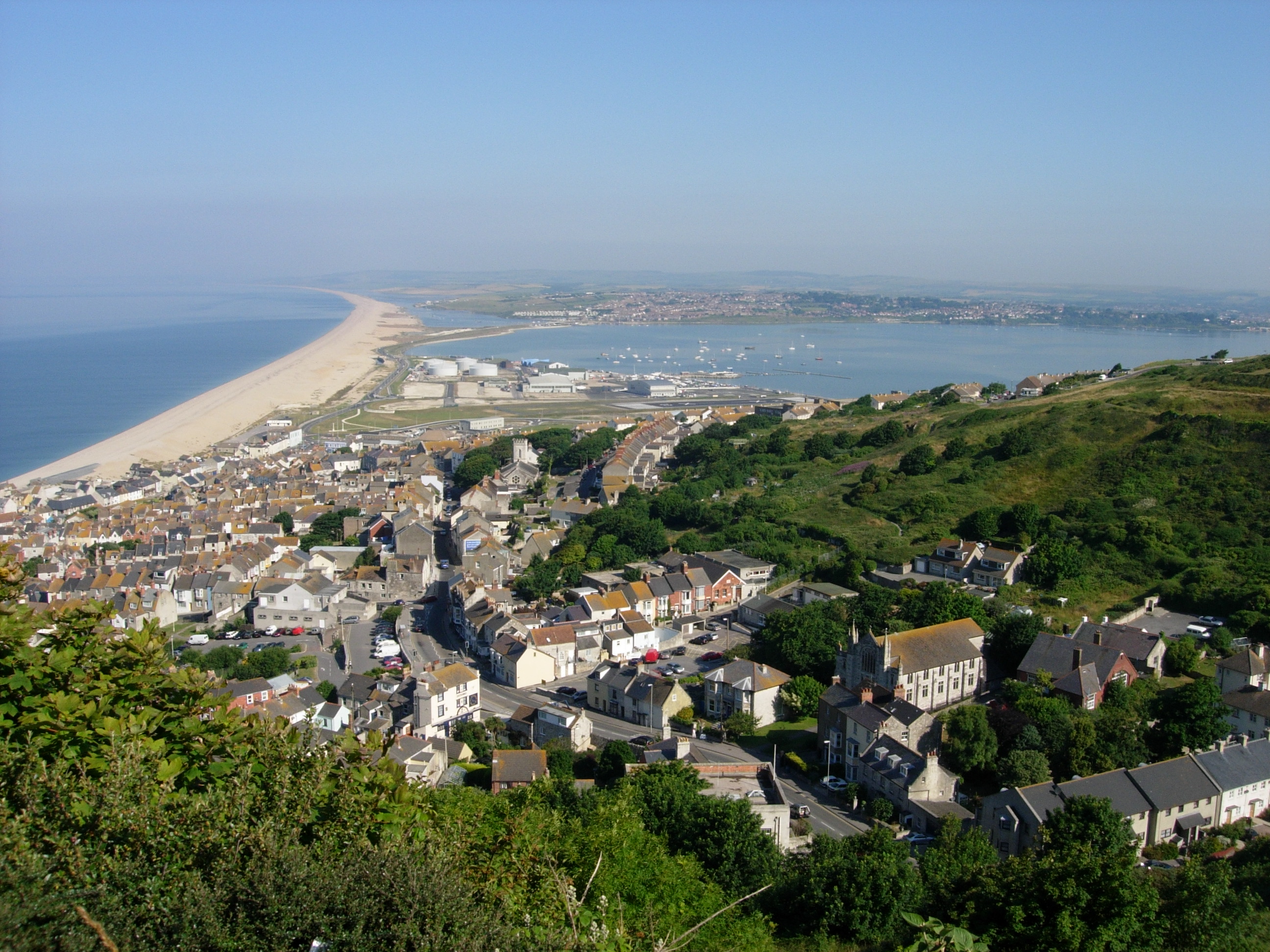
Tidmoor Cove is a picturesque coastal area located in the county of Dorset, England. Situated along the English Channel, this idyllic cove offers stunning views of the sea, estuary, and creek, making it a popular destination for nature enthusiasts and those seeking a tranquil retreat.

The cove is characterized by its rugged cliffs and rocky shoreline, which are complemented by golden sandy beaches that stretch out into the horizon. The crystal-clear waters of the sea provide a refreshing swimming experience for visitors during the summer months, while the estuary and creek offer a unique opportunity for exploring the diverse marine life that inhabits these waters.

Tidmoor Cove is also home to a thriving ecosystem, with an abundance of flora and fauna. The surrounding coastal landscape is rich in biodiversity, attracting birdwatchers who can spot various species of seabirds and waders on the cliffs and in the nearby marshes.

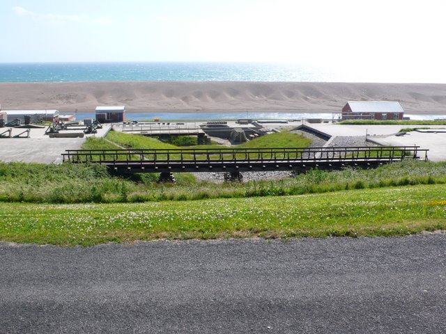
For those interested in history, Tidmoor Cove has a storied past. The area was once a bustling fishing port, and remnants of its maritime heritage can still be seen in the form of old fishing boats and historic buildings that dot the coastline.

Visitors to Tidmoor Cove can enjoy a range of activities, including beachcombing, coastal walks, and picnicking amidst the stunning natural beauty. The cove is also a popular spot for water sports such as kayaking, paddleboarding, and sailing.

Overall, Tidmoor Cove is a hidden gem in Dorset, offering a combination of scenic beauty, rich biodiversity, and historical charm that make it a must-visit destination for nature lovers and history enthusiasts alike.

If you have any feedback on the listing, please let us know in the comments section below.
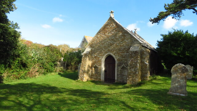
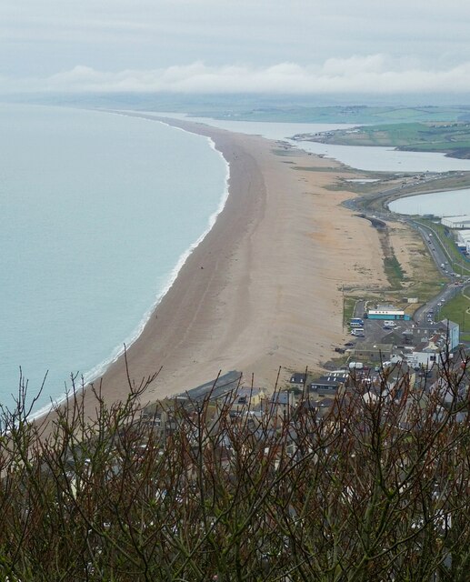
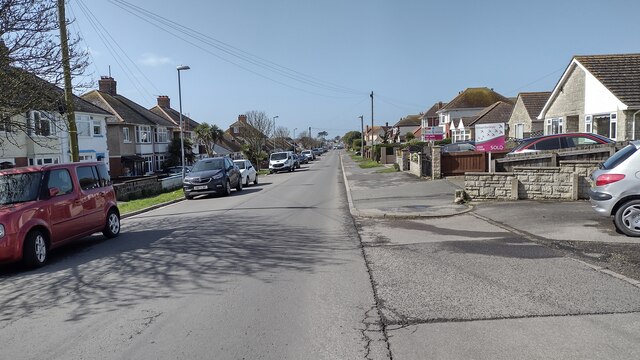
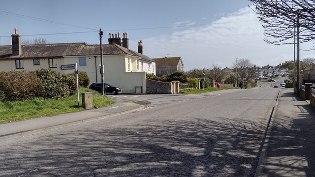
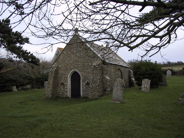
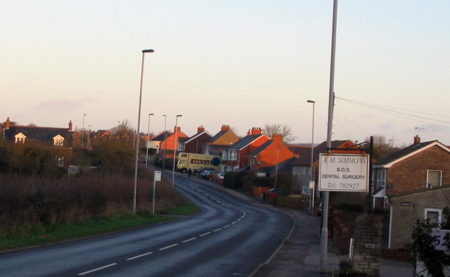
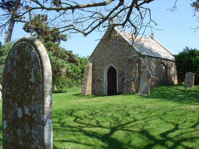
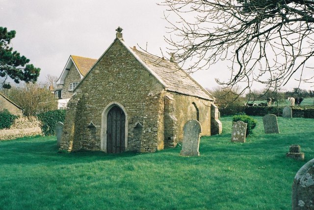
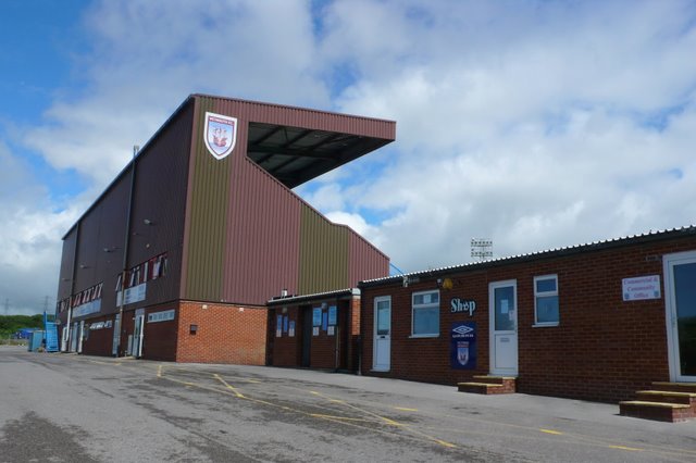
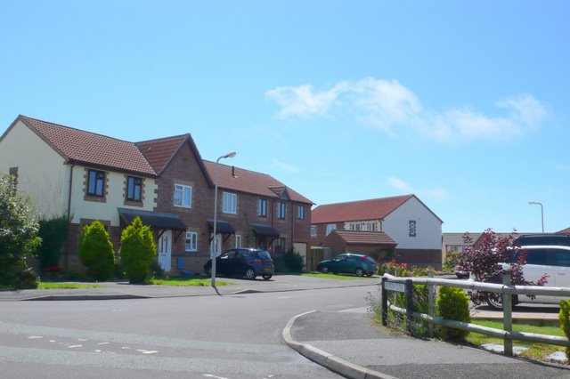
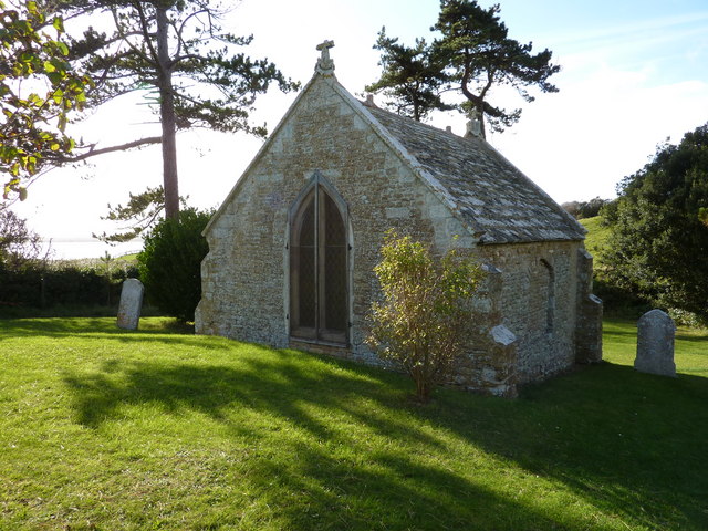
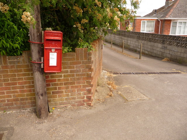
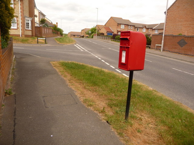
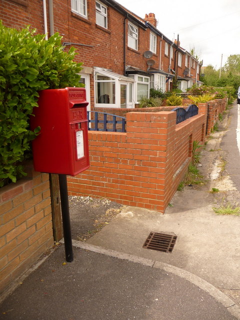
Tidmoor Cove Images

Images are sourced within 2km of 50.605501/-2.5026546 or Grid Reference SY6478. Thanks to Geograph Open Source API. All images are credited.

The old church at East Fleet near Chickerell
On the coast path by The Fleet - heading east towards East Fleet (hamlet)
On the coast path by The Fleet, west of Wyke Regis
Chesil Beach from Portland viewpoint Looking along the natural wonder of Chesil Beach which is 18 miles long from Portland to West Bay. This photo was taken from a viewpoint towards the northern end of Portland. The water trapped between the beach and the inland coast is called The Fleet.
See also
<a href="https://www.geograph.org.uk/photo/7153236">SY6675 : Chesil Beach - View northwestwards</a>
<a href="https://www.geograph.org.uk/photo/7153263">SY6675 : Chesil Beach - View southeastwards</a>
<a href="https://www.geograph.org.uk/photo/7153270">SY6675 : Chesil Beach - Pebbles</a>
Chesil Beach from Portland viewpoint
Looking along the natural wonder of Chesil Beach which is 18 miles long from Portland to West Bay. This photo was taken from a viewpoint towards the northern end of Portland. The water trapped between the beach and the inland coast is called The Fleet. See also SY6675 : Chesil Beach - View northwestwards SY6675 : Chesil Beach - View southeastwards SY6675 : Chesil Beach - Pebbles
Crookhill Depot and Waste Transfer Station, Chickerell
Radipole Lane Radipole Lane heading to the Granby Way roundabout
Radipole Lane
Radipole Lane heading to the Granby Way roundabout
Lynch Road Lynch Road one way towards the camera
Lynch Road
Lynch Road one way towards the camera
Chickerell Road Chickerell Road passing Quibo Lane
Chickerell Road
Chickerell Road passing Quibo Lane
Old church at East Fleet Just the chancel remains, the rest of the building having been destroyed by a storm in 1824. A wave came over Chesil Beach and caused a flood 9 metres deep around the church. The church and its vault features in J.M.Faulkner's novel Moonfleet.
Old church at East Fleet
Just the chancel remains, the rest of the building having been destroyed by a storm in 1824. A wave came over Chesil Beach and caused a flood 9 metres deep around the church. The church and its vault features in J.M.Faulkner's novel Moonfleet.
B3157 at Chickerell This is the coastal road between Weymouth and Bridport looking west, just before leaving the outskirts of Weymouth at Chickerell.
B3157 at Chickerell
This is the coastal road between Weymouth and Bridport looking west, just before leaving the outskirts of Weymouth at Chickerell.
East Fleet Old Church This church was left a ruin by a major storm on 23 November 1824
East Fleet Old Church
This church was left a ruin by a major storm on 23 November 1824
Fleet: the old parish church All that remains of the old church at Fleet following the great storm of 1824.
Fleet: the old parish church
All that remains of the old church at Fleet following the great storm of 1824.
Weymouth FC View of the main stand from the car park
Weymouth FC
View of the main stand from the car park
Chickerell near Weymouth View west along Maskew Close
Chickerell near Weymouth
View west along Maskew Close
Old Church, East Fleet Small sections of Chesil Bank and The Fleet lagoon (Butterstreet Cove) can be seen beyond.
Old Church, East Fleet
Small sections of Chesil Bank and The Fleet lagoon (Butterstreet Cove) can be seen beyond.
Chickerell: postbox № DT3 72, Chickerell Road This little postbox is hanging on to a telegraph pole and is emptied finally at 4:45pm on weekdays and at 11am on Saturdays.
Chickerell: postbox № DT3 72, Chickerell Road
This little postbox is hanging on to a telegraph pole and is emptied finally at 4:45pm on weekdays and at 11am on Saturdays.
Chickerell: postbox № DT3 149, Glennie Way This postbox serves a modern part of Chickerell and is emptied finally at 4:30pm on weekdays and at 9:30am on Saturdays.
Chickerell: postbox № DT3 149, Glennie Way
This postbox serves a modern part of Chickerell and is emptied finally at 4:30pm on weekdays and at 9:30am on Saturdays.
Chickerell: postbox № DT3 110, Putton Lane This small postbox serves eastern Chickerell and is emptied at 4:30pm on weekdays and at 7am on Saturdays.
Chickerell: postbox № DT3 110, Putton Lane
This small postbox serves eastern Chickerell and is emptied at 4:30pm on weekdays and at 7am on Saturdays.
Show me another place!

Tidmoor Cove is located at Grid Ref: SY6478 (Lat: 50.605501, Lng: -2.5026546)

Unitary Authority: Dorset

Police Authority: Dorset

What 3 Words

///reject.scorched.icebergs. Near Chickerell, Dorset

Related Wikis

Charlestown, Dorset

Charlestown is a suburb of Weymouth in Dorset, England, situated in the west of the town beside The Fleet, although it is in Chickerell parish (population...

Chesil Beach

Chesil Beach (also known as Chesil Bank) in Dorset, England is one of three major shingle beach structures in Britain. Its name is derived from the Old...

Budmouth Academy

Budmouth Academy (formerly Budmouth College) is a coeducational secondary school and sixth form situated in Weymouth, Dorset, overlooking the Jurassic...

Wyke Regis Training Area

Wyke Regis Training Area is an army training area primarily located in the parish and town of Chickerell, but near to the parish of Wyke Regis in neighbouring...

Nearby Amenities

Located within 500m of 50.605501,-2.5026546
Source: PGS
Lat/Long: 50.6094157/-2.5053179
Source: PGS
Lat/Long: 50.6091356/-2.5051982
Source: PGS
Lat/Long: 50.6088437/-2.5051431
Source: PGS
Lat/Long: 50.60862/-2.5053333
Source: PGS
Lat/Long: 50.6085206/-2.5058478
Source: PGS
Lat/Long: 50.6084563/-2.5062316
Source: PGS
Lat/Long: 50.6081879/-2.5071997
Source: PGS
Lat/Long: 50.6079332/-2.5075961
Source: PGS
Lat/Long: 50.6072932/-2.5078751
Source: PGS
Lat/Long: 50.6067621/-2.5075532
Source: PGS
Lat/Long: 50.6062446/-2.5070597
Source: PGS
Lat/Long: 50.6051415/-2.5048066
Source: PGS
Lat/Long: 50.6051007/-2.5043346
Source: PGS
Lat/Long: 50.605768/-2.5030042
Source: PGS
Lat/Long: 50.6062582/-2.5025107
Source: PGS
Lat/Long: 50.6063944/-2.502339
Source: PGS
Lat/Long: 50.606517/-2.5020172
Source: PGS
Lat/Long: 50.6067757/-2.501824
Source: PGS
Lat/Long: 50.6058632/-2.5014248
Source: PGS
Lat/Long: 50.6052641/-2.5013734
Source: PGS
Lat/Long: 50.6048419/-2.5011803
Source: PGS
Lat/Long: 50.6044061/-2.5009657
Source: PGS
Lat/Long: 50.6040112/-2.5006439
Source: PGS
Lat/Long: 50.603875/-2.5003864
Source: PGS
Lat/Long: 50.6033303/-2.4986268
Source: PGS
Lat/Long: 50.6033439/-2.4973394
Source: PGS
Lat/Long: 50.603303/-2.49676
Barrier: kissing_gate
Lat/Long: 50.609596/-2.5046782
Poles: bipole
Power: pole
Source: bing
Lat/Long: 50.6046651/-2.496981
Poles: bipole
Power: pole
Source: bing
Lat/Long: 50.6062839/-2.4980941
Poles: bipole
Power: pole
Source: bing
Lat/Long: 50.607421/-2.4989149
Poles: bipole
Power: pole
Source: bing
Lat/Long: 50.6091947/-2.5001326
The data included in this document is from www.openstreetmap.org. The data is made available under ODbL.

Have you been to Tidmoor Cove?

Leave your review of Tidmoor Cove below (or comments, questions and feedback).