Tidmoor Point
Coastal Feature, Headland, Point in Dorset
England
Tidmoor Point
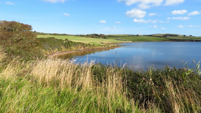
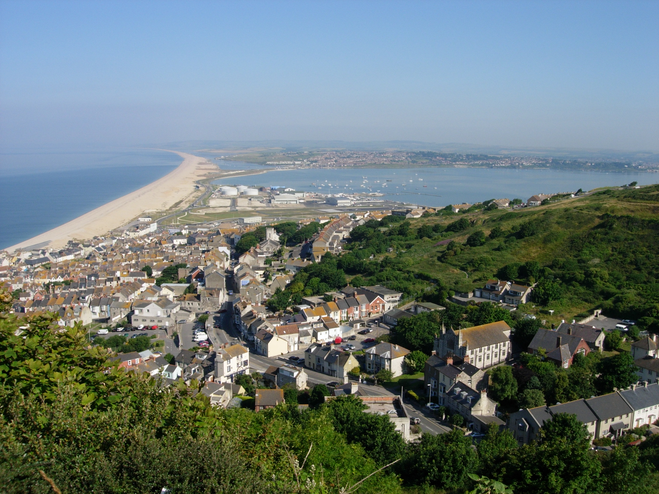
Tidmoor Point is a prominent coastal feature located in Dorset, England. It is a headland that extends out into the English Channel, offering stunning views of the surrounding area. The point is situated near the popular seaside town of Weymouth, making it a popular destination for locals and tourists alike.
The point is characterized by its rugged cliffs, which are formed from layers of sedimentary rocks such as limestone and sandstone. These cliffs provide a habitat for a variety of coastal plants and seabirds, making it an important ecological site.
Tidmoor Point is also known for its picturesque beaches, with golden sands that stretch along the coastline. These beaches are ideal for sunbathing, picnicking, and beachcombing. The clear and calm waters of the English Channel are perfect for swimming and water sports activities.
Visitors to Tidmoor Point can enjoy a range of outdoor activities, such as hiking along the cliff-top paths or exploring the numerous caves and rock pools. The point also offers excellent opportunities for birdwatching, with several species of seabirds, including gulls and cormorants, nesting in the area.
The point is easily accessible, with parking facilities and public transportation options available nearby. There are also several amenities in the surrounding area, including cafes, restaurants, and shops, providing convenience for visitors.
Overall, Tidmoor Point is a beautiful and diverse coastal feature in Dorset, offering a combination of natural beauty, recreational activities, and stunning views of the English Channel.
If you have any feedback on the listing, please let us know in the comments section below.
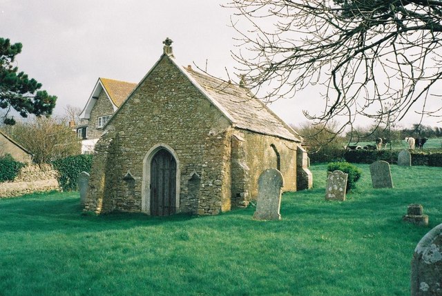
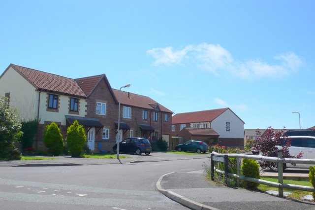
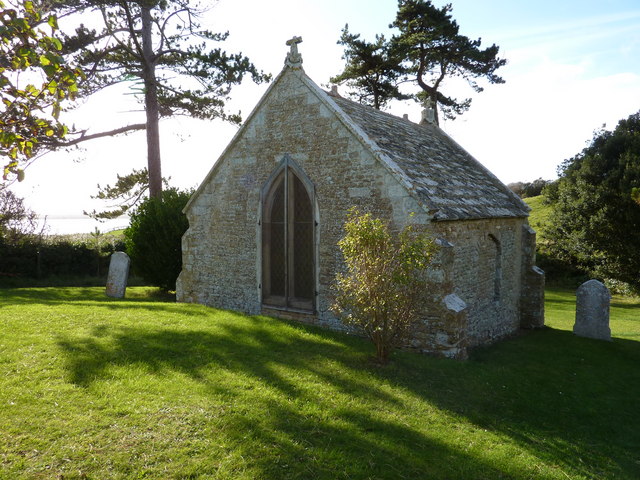
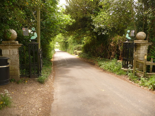
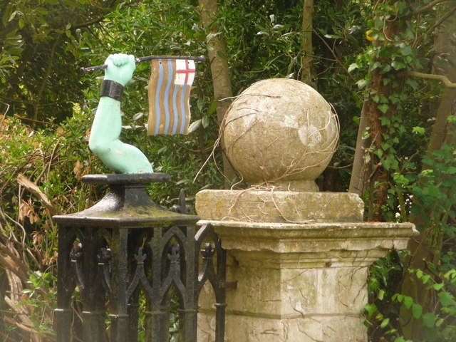
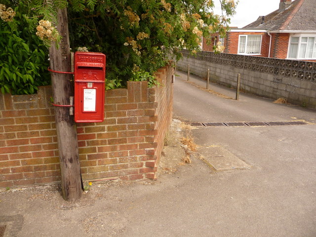
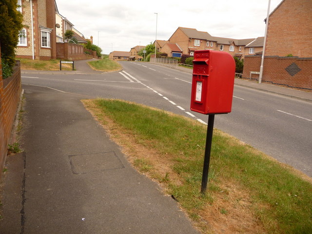
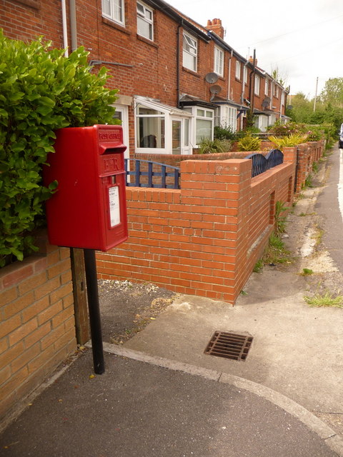
Tidmoor Point Images
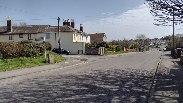
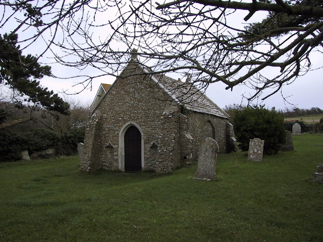
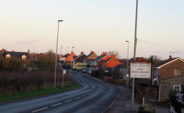
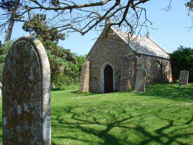
Images are sourced within 2km of 50.605645/-2.504578 or Grid Reference SY6478. Thanks to Geograph Open Source API. All images are credited.


Tidmoor Point is located at Grid Ref: SY6478 (Lat: 50.605645, Lng: -2.504578)
Unitary Authority: Dorset
Police Authority: Dorset
What 3 Words
///imparting.habit.dimes. Near Chickerell, Dorset
Nearby Locations
Related Wikis
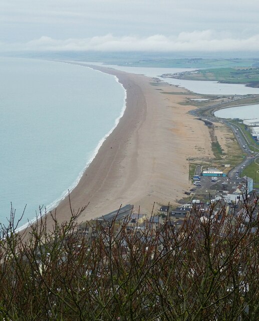
Chesil Beach
Chesil Beach (also known as Chesil Bank) in Dorset, England is one of three major shingle beach structures in Britain. Its name is derived from the Old...

Charlestown, Dorset
Charlestown is a suburb of Weymouth in Dorset, England, situated in the west of the town beside The Fleet, although it is in Chickerell parish (population...
Budmouth Academy
Budmouth Academy (formerly Budmouth College) is a coeducational secondary school and sixth form situated in Weymouth, Dorset, overlooking the Jurassic...
Crookhill Brick Pit
Crookhill Brick Pit (grid reference SY644798) is a 4.77 hectare biological and geological Site of Special Scientific Interest in Dorset, England, notified...
Nearby Amenities
Located within 500m of 50.605645,-2.504578Have you been to Tidmoor Point?
Leave your review of Tidmoor Point below (or comments, questions and feedback).