Littlesea
Bay in Dorset
England
Littlesea

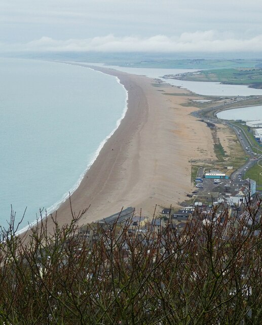
Littlesea, located in Dorset, is a picturesque bay known for its stunning natural beauty and tranquil atmosphere. Situated along the southern coast of England, this coastal gem offers visitors a unique blend of sandy beaches, rugged cliffs, and expansive sea views.
The bay is nestled between Weymouth in the east and Bridport in the west, making it easily accessible for both locals and tourists alike. Littlesea is renowned for its clean and well-maintained beaches, which are perfect for sunbathing, picnicking, and leisurely strolls along the shoreline. The golden sands are complemented by crystal-clear waters that entice swimmers and water sports enthusiasts throughout the year.
Nature lovers will be enthralled by the diverse wildlife that inhabits Littlesea. From rare seabirds to vibrant marine life, this bay provides a haven for various species. Visitors can explore the rocky cliffs and tidal pools, which are teeming with fascinating creatures and offer a unique opportunity for exploration.
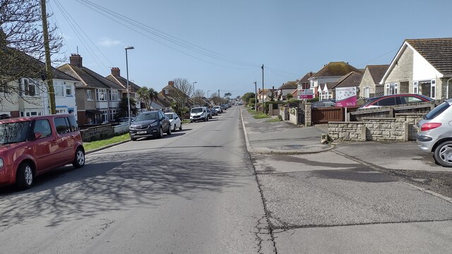
In addition to its natural wonders, Littlesea also boasts a range of amenities and facilities. There are several cafes, restaurants, and pubs in the area, offering a variety of culinary delights and refreshing beverages. Accommodation options are plentiful, with charming guesthouses, holiday cottages, and campsites available for those looking to extend their stay.
Littlesea is a destination that caters to all ages and interests. Whether you seek relaxation in idyllic surroundings or crave adventure and exploration, this Dorset bay is sure to captivate your senses and leave you with unforgettable memories.
If you have any feedback on the listing, please let us know in the comments section below.
Littlesea Images
Images are sourced within 2km of 50.602108/-2.5054021 or Grid Reference SY6478. Thanks to Geograph Open Source API. All images are credited.


Littlesea is located at Grid Ref: SY6478 (Lat: 50.602108, Lng: -2.5054021)
Unitary Authority: Dorset
Police Authority: Dorset
What 3 Words
///amicably.scare.throwaway. Near Chickerell, Dorset
Nearby Locations
Related Wikis
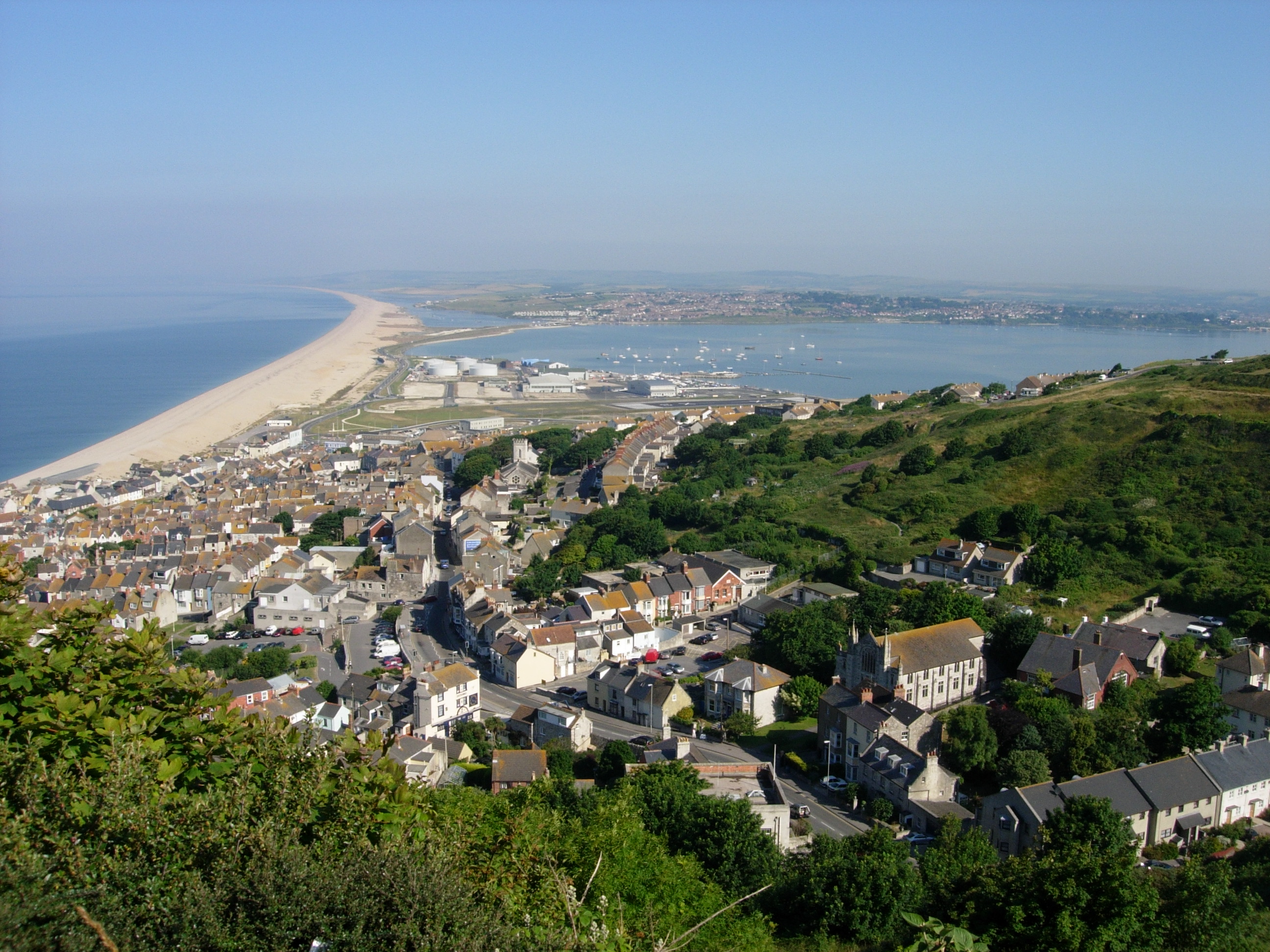
Chesil Beach
Chesil Beach (also known as Chesil Bank) in Dorset, England is one of three major shingle beach structures in Britain. Its name is derived from the Old...
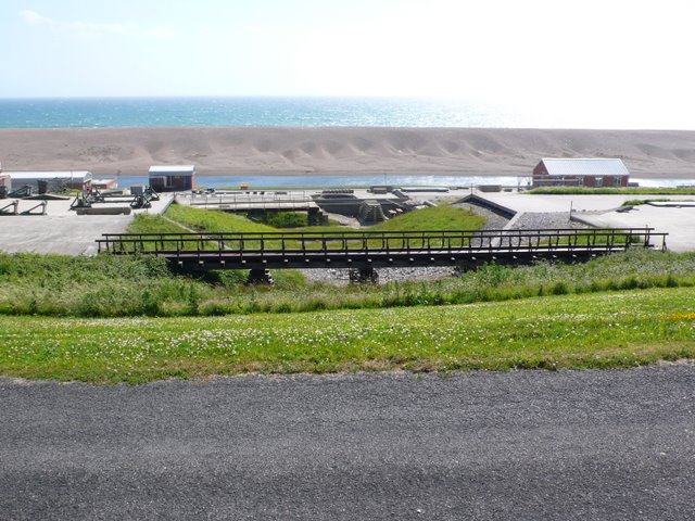
Wyke Regis Training Area
Wyke Regis Training Area is an army training area primarily located in the parish and town of Chickerell, but near to the parish of Wyke Regis in neighbouring...

Charlestown, Dorset
Charlestown is a suburb of Weymouth in Dorset, England, situated in the west of the town beside The Fleet, although it is in Chickerell parish (population...
Budmouth Academy
Budmouth Academy (formerly Budmouth College) is a coeducational secondary school and sixth form situated in Weymouth, Dorset, overlooking the Jurassic...
Nearby Amenities
Located within 500m of 50.602108,-2.5054021Have you been to Littlesea?
Leave your review of Littlesea below (or comments, questions and feedback).