Cuttcleeves
Sea, Estuary, Creek in Dorset
England
Cuttcleeves
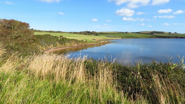
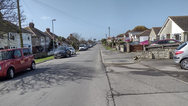
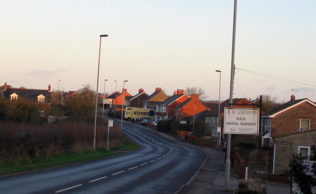
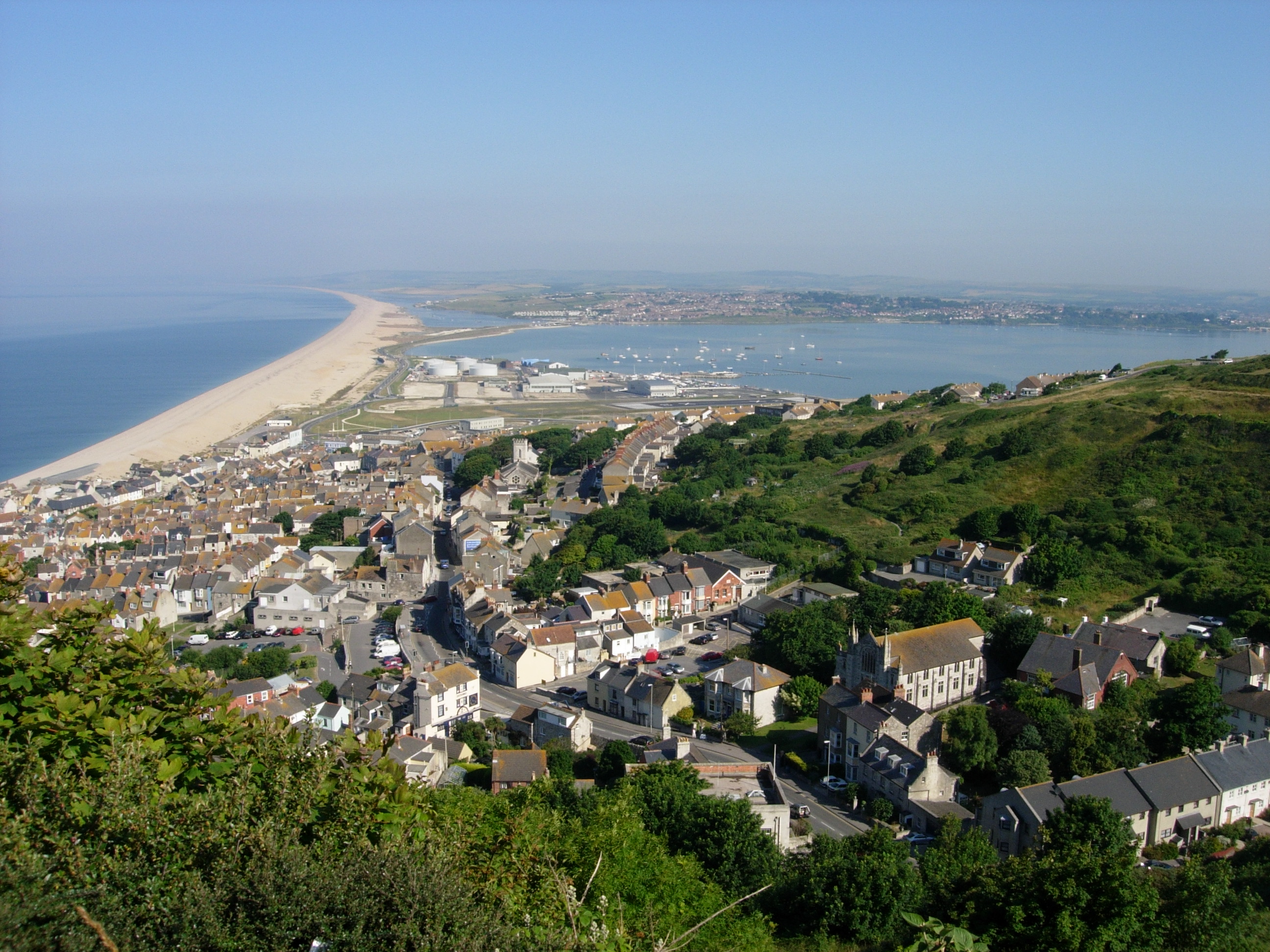
Cuttcleeves is a small coastal village located in Dorset, England. Situated on the south coast, it is known for its picturesque sea views, estuary, and creek. The village is surrounded by stunning natural beauty, with rolling hills and cliffs providing a dramatic backdrop to the tranquil waters.
The sea at Cuttcleeves offers a range of activities for visitors and locals alike. The sandy beaches are perfect for sunbathing and swimming during the warmer months, while water sports enthusiasts can enjoy surfing, sailing, and kayaking. The clear waters are also popular with divers, who can explore the diverse marine life and underwater caves.
The estuary at Cuttcleeves is a haven for birdwatchers and nature lovers. It is home to a variety of bird species, including herons, kingfishers, and wading birds. The estuary provides an important breeding ground and a vital habitat for many species of fish and invertebrates.
Cuttcleeves Creek is a charming waterway that winds its way through the village. It is a popular spot for boating and fishing, with anglers often seen casting their lines from the creek's banks. The creek is also a tranquil place for a leisurely stroll, with footpaths offering scenic views of the surrounding countryside.
Overall, Cuttcleeves in Dorset is a beautiful coastal village that offers a range of activities and natural attractions for visitors to enjoy. Its stunning sea views, estuary, and creek make it a perfect destination for those seeking both relaxation and outdoor adventure.
If you have any feedback on the listing, please let us know in the comments section below.
Cuttcleeves Images
Images are sourced within 2km of 50.60957/-2.5098349 or Grid Reference SY6478. Thanks to Geograph Open Source API. All images are credited.


Cuttcleeves is located at Grid Ref: SY6478 (Lat: 50.60957, Lng: -2.5098349)
Unitary Authority: Dorset
Police Authority: Dorset
What 3 Words
///asked.baking.salary. Near Chickerell, Dorset
Nearby Locations
Related Wikis
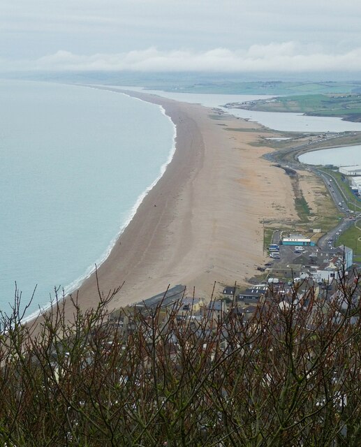
Chesil Beach
Chesil Beach (also known as Chesil Bank) in Dorset, England is one of three major shingle beach structures in Britain. Its name is derived from the Old...

Crookhill Brick Pit
Crookhill Brick Pit (grid reference SY644798) is a 4.77 hectare biological and geological Site of Special Scientific Interest in Dorset, England, notified...
Charlestown, Dorset
Charlestown is a suburb of Weymouth in Dorset, England, situated in the west of the town beside The Fleet, although it is in Chickerell parish (population...

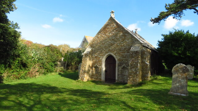
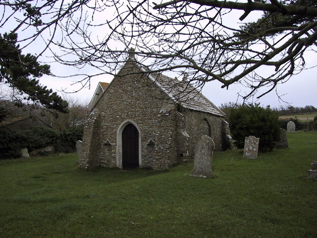
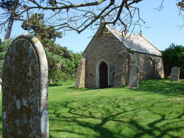
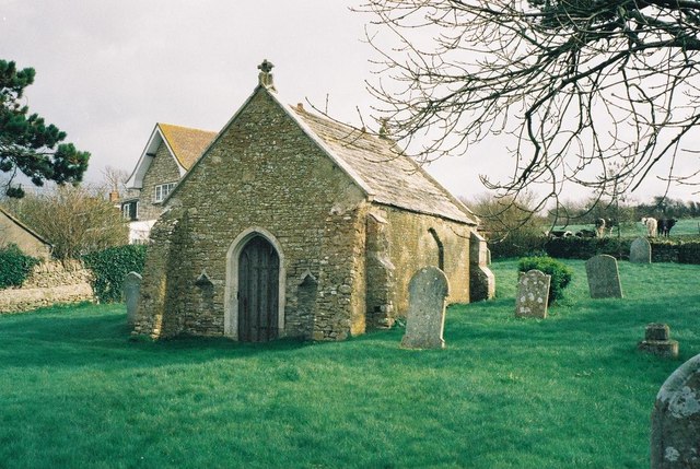
Fleet Old Church
Fleet Old Church is a Church of England mortuary chapel in Fleet, Dorset, England. It was formerly the village's parish church until its partial destruction...
Nearby Amenities
Located within 500m of 50.60957,-2.5098349Have you been to Cuttcleeves?
Leave your review of Cuttcleeves below (or comments, questions and feedback).