Breaks Head
Landscape Feature in Yorkshire South Lakeland
England
Breaks Head
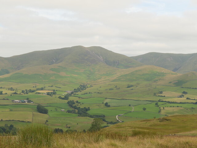
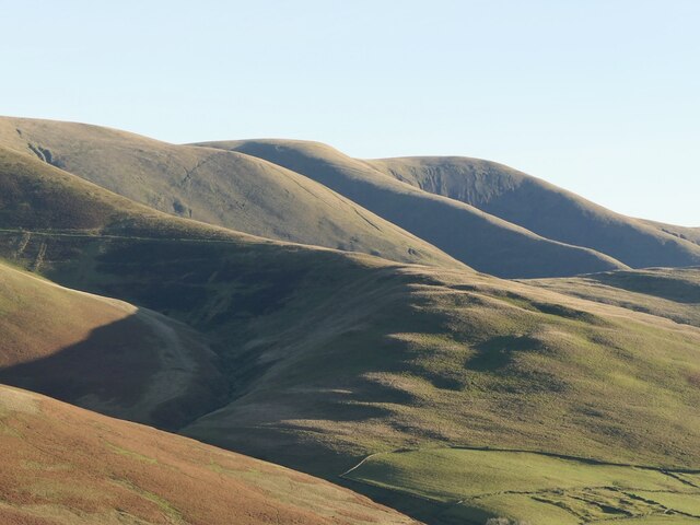
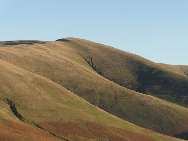
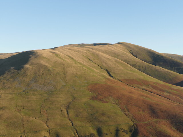
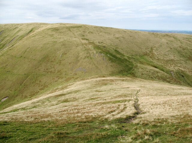
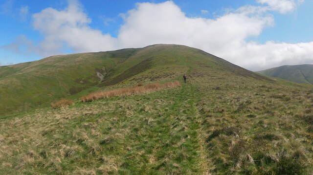
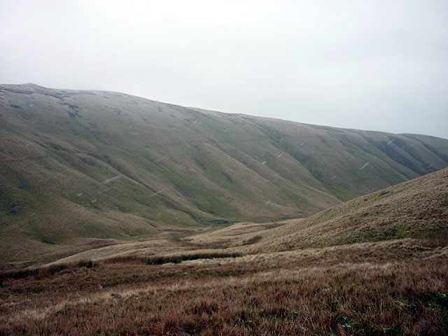
Breaks Head is a prominent landscape feature located in the county of Yorkshire, England. It is situated near the small village of Great Ayton, within the North York Moors National Park. This distinctive geological formation is a cliff face that extends for approximately 1 kilometer along the northern edge of the park.
The cliff face of Breaks Head is composed of layers of sedimentary rock, primarily sandstone and shale. These layers were formed over millions of years through the deposition of sediment in ancient seas and the subsequent compression and hardening of these sediments.
The cliff face rises to an impressive height of around 100 meters and offers breathtaking views of the surrounding countryside. Its location within the North York Moors provides visitors with a unique opportunity to witness the dramatic beauty of the region.
Breaks Head is a popular destination for hikers, walkers, and rock climbers due to its challenging terrain and stunning vistas. Several well-marked trails traverse the area, allowing visitors to explore the cliff face and the surrounding moorland.
The site is also of great geological significance, as it provides valuable insights into the region's geological history. Fossils and geological formations found in the layers of rock at Breaks Head offer a glimpse into the ancient environments that existed in this part of Yorkshire millions of years ago.
Overall, Breaks Head is a captivating landscape feature that combines natural beauty, recreational opportunities, and geological significance, making it a must-visit destination for nature enthusiasts and geology aficionados alike.
If you have any feedback on the listing, please let us know in the comments section below.
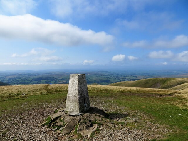
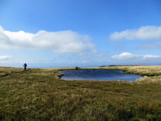
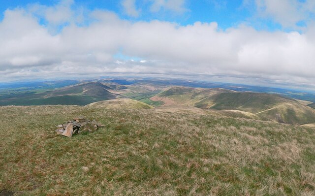
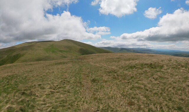
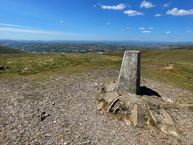
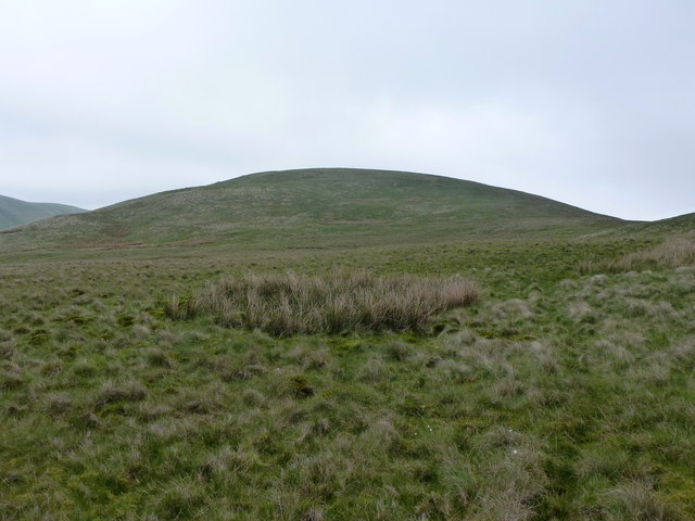
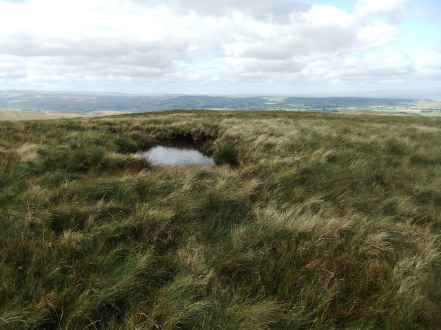
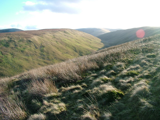
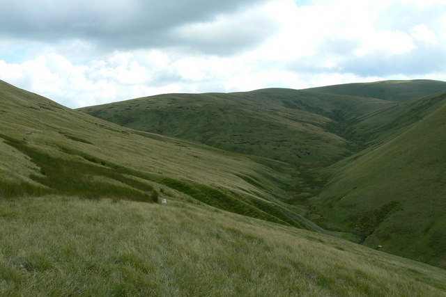
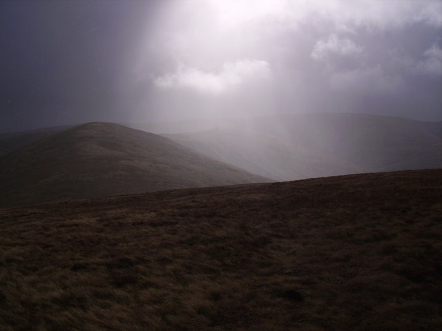
Breaks Head Images
Images are sourced within 2km of 54.380741/-2.5339333 or Grid Reference SD6598. Thanks to Geograph Open Source API. All images are credited.
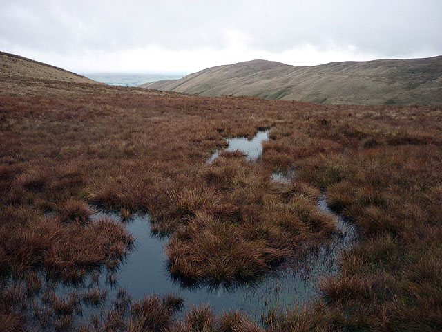
Breaks Head is located at Grid Ref: SD6598 (Lat: 54.380741, Lng: -2.5339333)
Division: West Riding
Administrative County: Cumbria
District: South Lakeland
Police Authority: Cumbria
What 3 Words
///slowness.contrived.doing. Near Sedbergh, Cumbria
Nearby Locations
Related Wikis

The Calf
The Calf, at an elevation of 676 metres (2,218 ft), is the highest point in the Howgill Fells, an area of high ground in north-west England. It is in the...

Calders (Yorkshire Dales)
Calders is a summit of 2,211 feet (674 m) in the Howgill Fells, Cumbria, England. It lies about 2⁄3 mile (1 km) south east of the summit of The Calf and...

Howgill Fells
The Howgill Fells are uplands in Northern England between the Lake District and the Yorkshire Dales, lying roughly within a triangle formed by the town...

Yarlside
Yarlside is a hill in the Howgill Fells, Cumbria (historically Westmorland), England. This fell is not to be confused with the Yarlside area near Barrow...
Nearby Amenities
Located within 500m of 54.380741,-2.5339333Have you been to Breaks Head?
Leave your review of Breaks Head below (or comments, questions and feedback).