Clapton Pill
Sea, Estuary, Creek in Gloucestershire Stroud
England
Clapton Pill
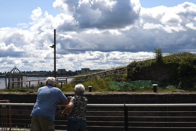
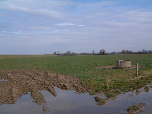
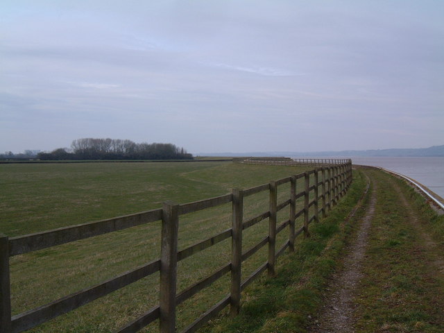
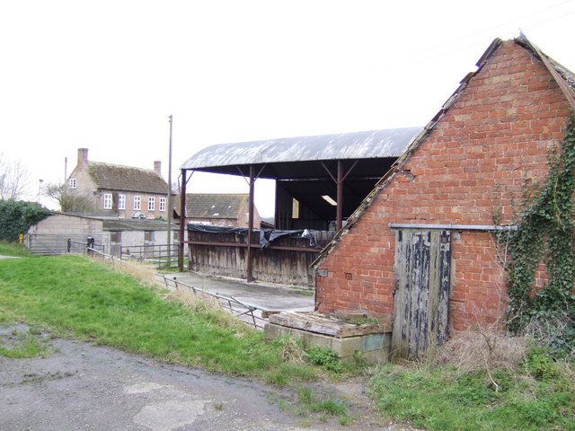
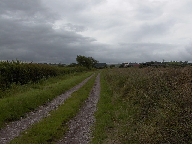
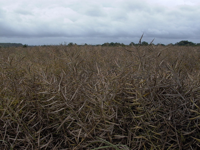
Clapton Pill is a small tidal creek located in Gloucestershire, England. It is situated near the village of Clapton and flows into the River Severn estuary. The creek is surrounded by lush greenery and offers stunning views of the surrounding countryside.
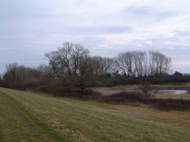
At high tide, Clapton Pill is filled with water, creating a serene and peaceful atmosphere. As the tide recedes, the creek transforms into a muddy, marshy landscape with exposed mudflats and salt marshes. This ever-changing environment is home to a variety of wildlife, including birds, fish, and other marine creatures.
Clapton Pill is a popular spot for birdwatching and nature enthusiasts, who come to observe the diverse range of bird species that inhabit the area. The creek is also a great location for fishing and crabbing, attracting anglers and families looking for a fun day out.
Overall, Clapton Pill offers a tranquil escape from the hustle and bustle of city life, allowing visitors to immerse themselves in nature and enjoy the peaceful surroundings of this picturesque tidal creek in Gloucestershire.
If you have any feedback on the listing, please let us know in the comments section below.
Clapton Pill Images
Images are sourced within 2km of 51.683244/-2.5178747 or Grid Reference ST6498. Thanks to Geograph Open Source API. All images are credited.


Clapton Pill is located at Grid Ref: ST6498 (Lat: 51.683244, Lng: -2.5178747)
Administrative County: Gloucestershire
District: Stroud
Police Authority: Gloucestershire
What 3 Words
///bossy.vampire.flick. Near Hill, Gloucestershire
Nearby Locations
Related Wikis

SGS Berkeley Green UTC
SGS Berkeley Green UTC is a university technical college in Berkeley, Gloucestershire, England. It opened in September 2017, and is part of SGS Academy...

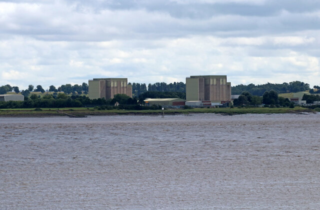
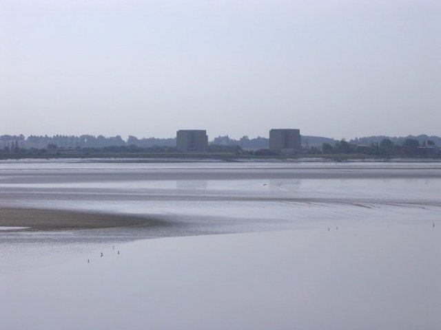
Berkeley nuclear power station
Berkeley nuclear power station is a former Magnox nuclear power station situated on the bank of the River Severn in Gloucestershire, England. The ongoing...
Ham and Stone
Ham and Stone is a civil parish in the Stroud district, in the county of Gloucestershire, England. It includes the settlements of Bevington, Ham, Hystfield...
Vale of Berkeley College
The Vale of Berkeley College was a small comprehensive school located in Wanswell Berkeley, Gloucestershire, England. The school closed in July 2011.The...
Nearby Amenities
Located within 500m of 51.683244,-2.5178747Have you been to Clapton Pill?
Leave your review of Clapton Pill below (or comments, questions and feedback).