Abraham's Hole
Sea, Estuary, Creek in Devon South Hams
England
Abraham's Hole

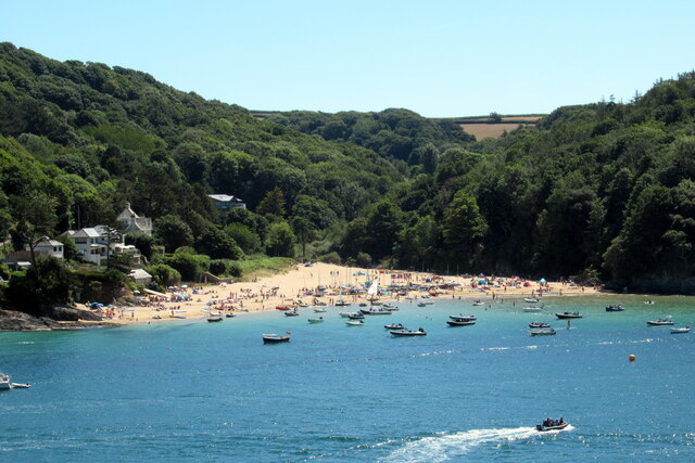
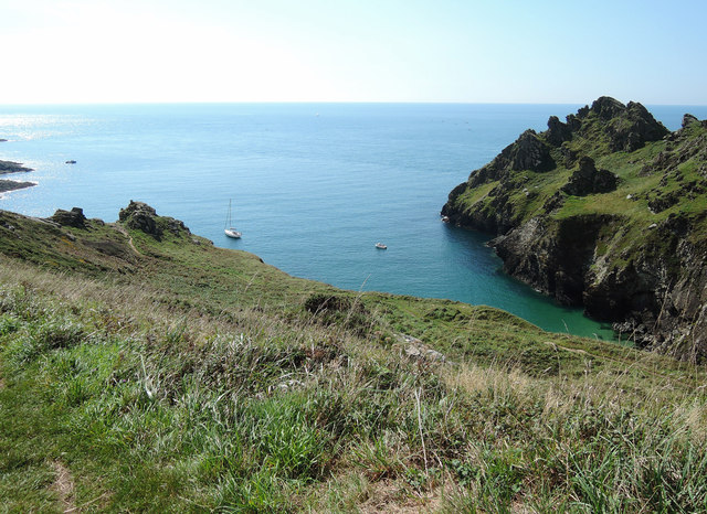
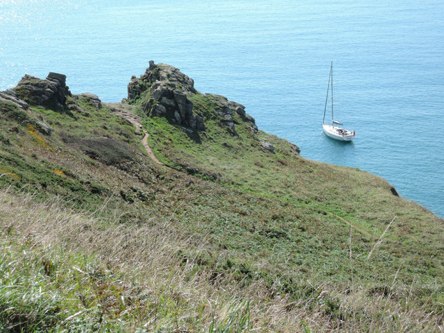
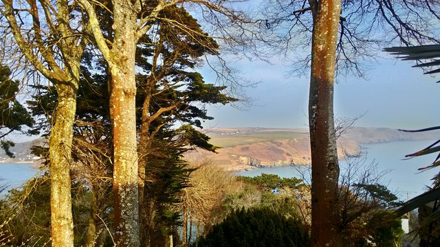
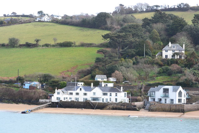
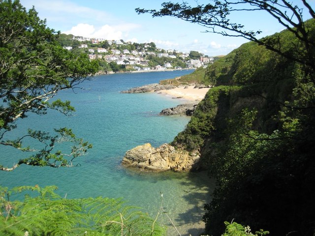
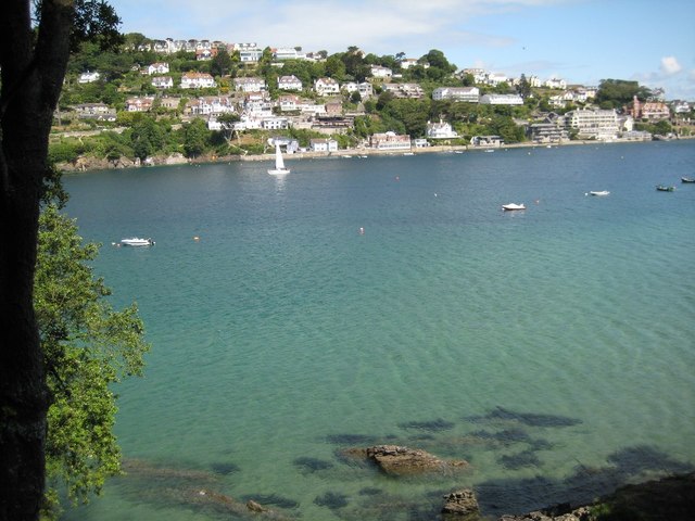
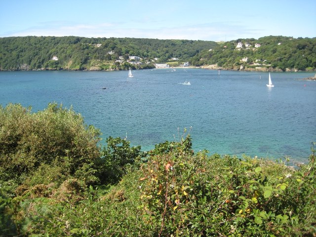
Abraham's Hole is a small, picturesque estuary located in Devon, England. Situated along the coast, it offers a unique blend of sea, estuary, and creek environments, making it an ideal spot for nature enthusiasts and outdoor lovers.
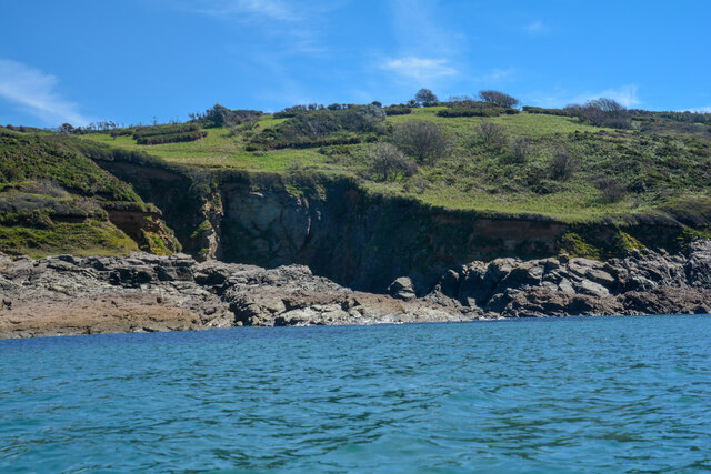
The estuary is named after Abraham, an old fisherman who used to frequent the area. It is characterized by its calm, shallow waters, which are influenced by the ebb and flow of the tide. During high tide, the estuary fills up with seawater, creating a tranquil and serene atmosphere. At low tide, the water recedes, revealing a sandy creek bed and various rock formations.
The estuary is home to a diverse range of marine life, including fish, crabs, and mollusks. The nutrient-rich waters provide an ideal habitat for these creatures, attracting birds and other wildlife as well. Visitors can often spot herons, egrets, and even the occasional seal in the area.
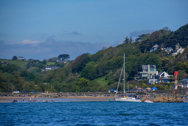
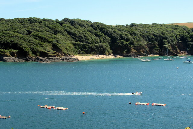
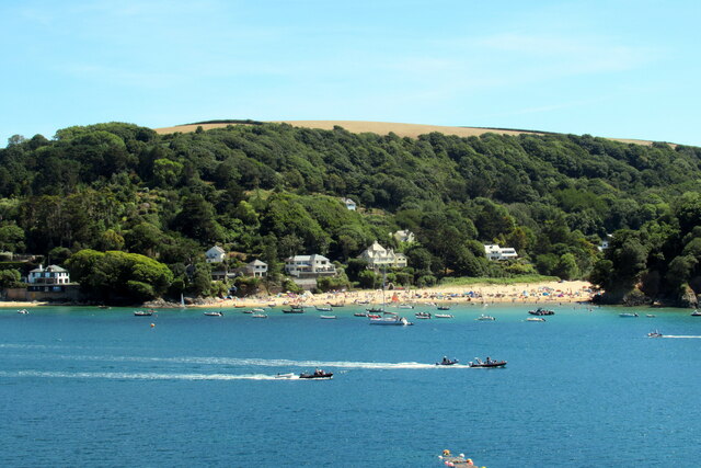
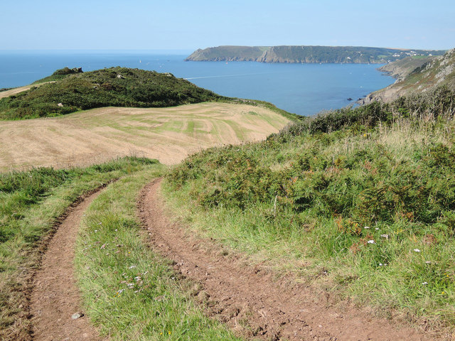
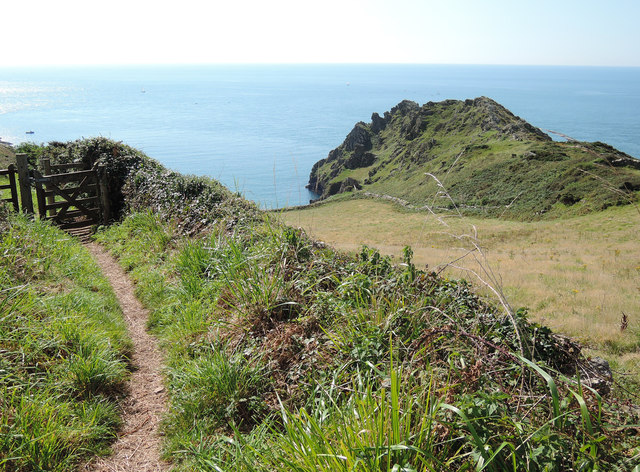
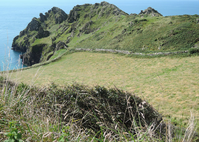
Surrounded by lush greenery and rolling hills, Abraham's Hole offers a stunning natural landscape. The estuary is accessible via a walking path that winds through the surrounding countryside, providing breathtaking views of the coastline and the surrounding cliffs. It is a popular destination for hiking, birdwatching, and picnicking, as well as for those seeking a peaceful retreat away from the hustle and bustle of city life.
Overall, Abraham's Hole in Devon is a hidden gem that showcases the beauty of the sea, estuary, and creek ecosystems. Its tranquil waters and diverse wildlife make it a must-visit destination for nature enthusiasts and those looking to connect with the natural world.
If you have any feedback on the listing, please let us know in the comments section below.
Abraham's Hole Images
Images are sourced within 2km of 50.21873/-3.7518298 or Grid Reference SX7536. Thanks to Geograph Open Source API. All images are credited.
Abraham's Hole is located at Grid Ref: SX7536 (Lat: 50.21873, Lng: -3.7518298)
Administrative County: Devon
District: South Hams
Police Authority: Devon and Cornwall
What 3 Words
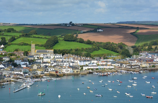
///vocal.actor.partly. Near Salcombe, Devon
Nearby Locations
Related Wikis

Salcombe Cannon Wreck
The Salcombe Cannon wrecksite is close to two other designated wrecksites in the Erme Estuary which the South West Maritime Archaeological Group (SWMAG...
Moor Sand site
The remains of a wreck carrying cargo of Middle Bronze Age weapons was found in 1977 off Moor Sand, Gammon Head, South Hams, Devon, England. The site was...

East Portlemouth
East Portlemouth is a small Devon village situated at the southern end of the Kingsbridge Estuary, on the south Devon Coast. The population of this parish...

Salcombe Castle
Salcombe Castle or Fort Charles is a ruined fortification just off the beach of North Sands in Salcombe, Devon, England, within the South Devon Area of...

Overbeck's
Overbeck's Museum and Garden is an Edwardian house and 2.75 hectare (7 acre) garden at Sharpitor, Salcombe, Devon, England. It is named after its last...

Hallowe'en (clipper)
Hallowe’en was a 920-ton iron clipper ship. She was built in 1870 by Maudslay, Son & Field at Greenwich, England, for Jock Willis & Sons (commissioned...

Salcombe Lifeboat Station
Salcombe Lifeboat Station is the base for Royal National Lifeboat Institution (RNLI) search and rescue operations at Salcombe, Devon in England. The first...

RNAS Prawle Point
The RNAS Naval Air Station Prawle Point was a British First World War airfield outside the village of East Prawle in Devon, England and 2.6 miles (4.2...
Related Videos
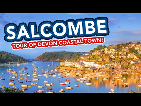
SALCOMBE | Full tour of holiday seaside town of Salcombe in Devon England
Salcombe is a seaside holiday town located between Dartmouth and Plymouth in Devon in South West England. Escape to ...

SALCOMBE Travel Vlog June 2022 | CHRIS & EVE
For daily updates see our Instagram: CHRISANDEVE Where we stayed: https://www.salcombefinest.com Products/Brands ...

THE PERFECT HOLIDAY
Hello everyone, welcome to the channel! I hope that I find you well in the New Year. I'm adding this one to the personal travel ...
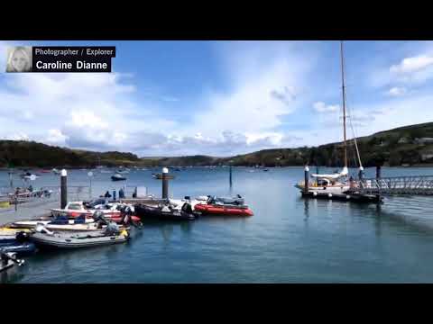
C goes to Devon : Exploring Salcombe #vacation #travelwithC
C goes to Devon : Exploring Salcombe #vacation #travelwithC. Subscribe for more: https://happs.tv/@CarolineDianne #live ...
Nearby Amenities
Located within 500m of 50.21873,-3.7518298Have you been to Abraham's Hole?
Leave your review of Abraham's Hole below (or comments, questions and feedback).