Little Seacombe Sand
Beach in Devon South Hams
England
Little Seacombe Sand
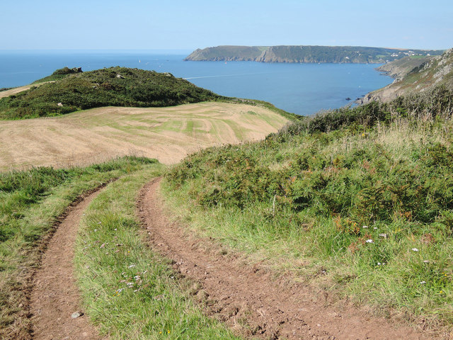
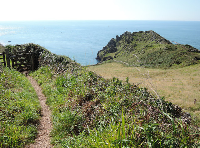
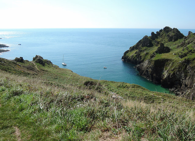
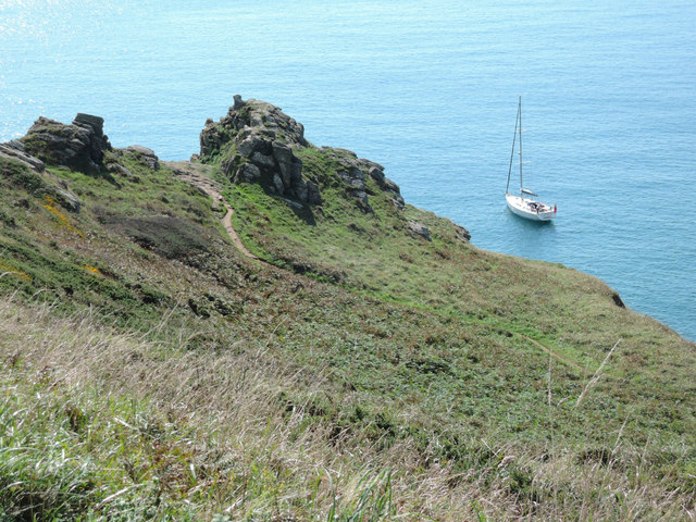
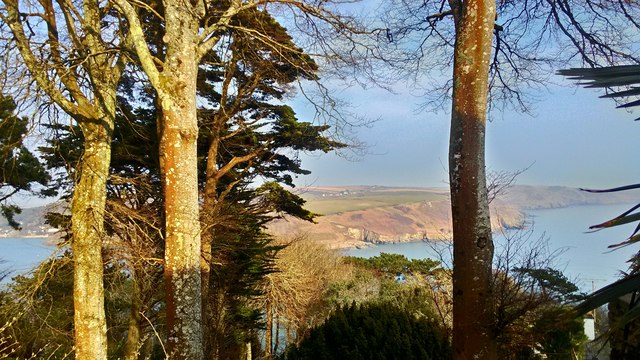
Little Seacombe Sand is a picturesque beach located in Devon, England. Situated on the South West Coast Path, it is a hidden gem nestled between the popular beaches of Combe Martin and Ilfracombe. Accessible via a steep and narrow path, this secluded cove offers a serene and tranquil environment for visitors to enjoy.
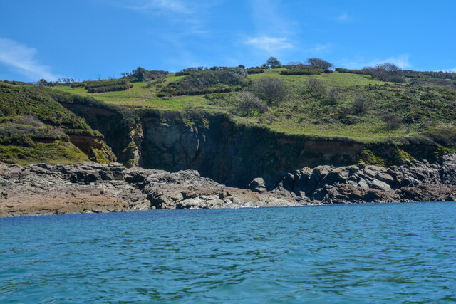
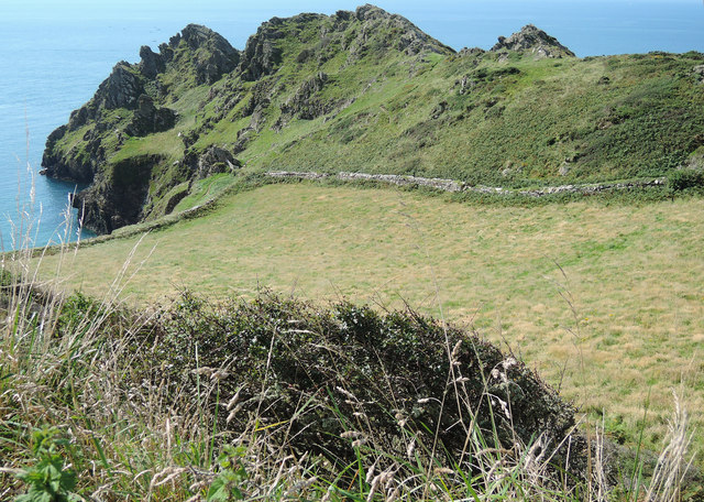
With its golden sands and crystal-clear waters, Little Seacombe Sand is a haven for beach lovers and nature enthusiasts. The beach is surrounded by towering cliffs, providing a dramatic backdrop and sheltering it from strong winds. The rugged beauty of the cliffs also offers stunning views of the coastline, making it a popular spot for photographers.
Due to its remote location, Little Seacombe Sand remains relatively uncrowded, providing a peaceful escape from the hustle and bustle of city life. The lack of facilities adds to its untouched charm, as visitors can indulge in a true back-to-nature experience. It is important to note that the beach is only accessible during low tide, and caution should be exercised when exploring the area.
Little Seacombe Sand is also known for its diverse marine life. During low tide, rock pools are exposed, revealing an array of fascinating sea creatures such as crabs, starfish, and anemones. This makes it a popular spot for families and children to explore and learn about the coastal ecosystem.
Overall, Little Seacombe Sand offers a peaceful and unspoiled beach experience, showcasing the natural beauty of Devon's coastline. It is a hidden gem waiting to be discovered by those seeking a tranquil seaside escape.
If you have any feedback on the listing, please let us know in the comments section below.
Little Seacombe Sand Images
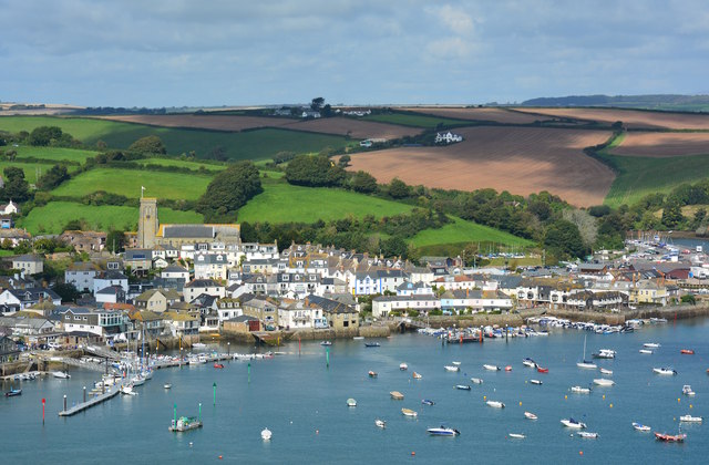
Images are sourced within 2km of 50.217616/-3.746995 or Grid Reference SX7536. Thanks to Geograph Open Source API. All images are credited.


Little Seacombe Sand is located at Grid Ref: SX7536 (Lat: 50.217616, Lng: -3.746995)
Administrative County: Devon
District: South Hams
Police Authority: Devon and Cornwall
What 3 Words
///dashes.developed.wades. Near Salcombe, Devon
Nearby Locations
Related Wikis

Salcombe Cannon Wreck
The Salcombe Cannon wrecksite is close to two other designated wrecksites in the Erme Estuary which the South West Maritime Archaeological Group (SWMAG...
Moor Sand site
The remains of a wreck carrying cargo of Middle Bronze Age weapons was found in 1977 off Moor Sand, Gammon Head, South Hams, Devon, England. The site was...

East Portlemouth
East Portlemouth is a small Devon village situated at the southern end of the Kingsbridge Estuary, on the south Devon Coast. The population of this parish...

RNAS Prawle Point
The RNAS Naval Air Station Prawle Point was a British First World War airfield outside the village of East Prawle in Devon, England and 2.6 miles (4.2...

Salcombe Castle
Salcombe Castle or Fort Charles is a ruined fortification just off the beach of North Sands in Salcombe, Devon, England, within the South Devon Area of...

Prawle Point
Prawle Point (Old English: Prǣwhyll, "lookout hill") is a coastal headland in south Devon, England. It is the southernmost point of Devon. Just to the...

Hallowe'en (clipper)
Hallowe’en was a 920-ton iron clipper ship. She was built in 1870 by Maudslay, Son & Field at Greenwich, England, for Jock Willis & Sons (commissioned...

Overbeck's
Overbeck's Museum and Garden is an Edwardian house and 2.75 hectare (7 acre) garden at Sharpitor, Salcombe, Devon, England. It is named after its last...
Nearby Amenities
Located within 500m of 50.217616,-3.746995Have you been to Little Seacombe Sand?
Leave your review of Little Seacombe Sand below (or comments, questions and feedback).