Western Blackapit
Sea, Estuary, Creek in Cornwall
England
Western Blackapit
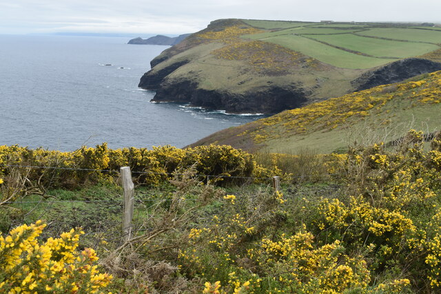
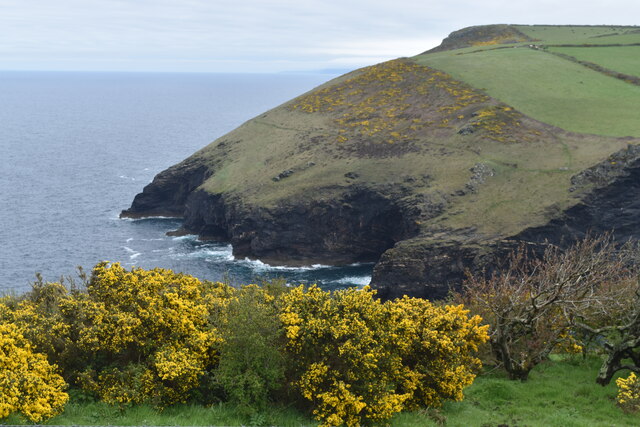
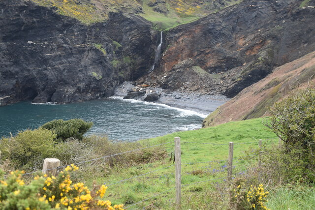
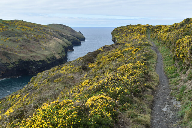
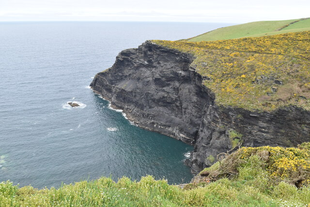
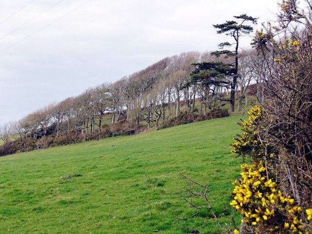
Western Blackapit is a small coastal area located in Cornwall, England. It is known for its picturesque beauty and stunning views of the sea, estuary, and creek that surround it. The area is characterized by its rugged coastline, sandy beaches, and rocky cliffs, making it a popular destination for nature enthusiasts and beachgoers.
The sea at Western Blackapit is part of the Atlantic Ocean and provides visitors with breathtaking views of the open water. The crashing waves and salty air create a sense of tranquility and relaxation. The sea is also home to a diverse range of marine life, making it a hotspot for fishing and snorkeling activities.
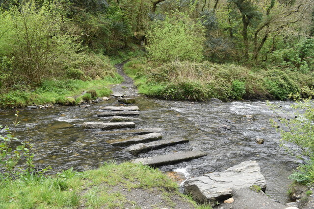
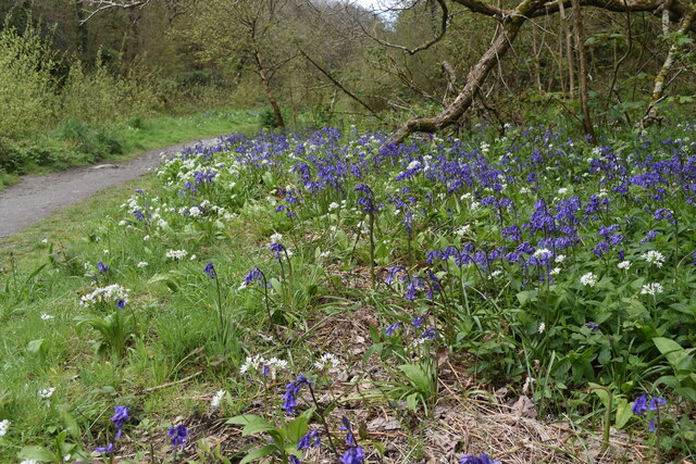
The estuary at Western Blackapit is formed where a river meets the sea. It is a unique habitat that supports a rich variety of flora and fauna. The estuary is a haven for birdwatchers, as it attracts numerous species of birds, including waders, ducks, and gulls.
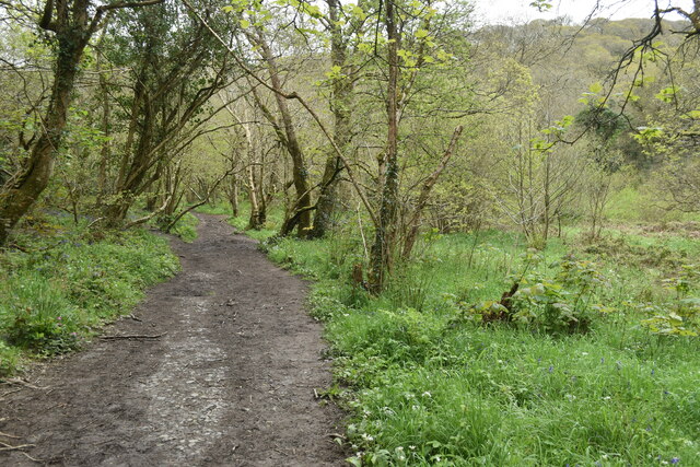
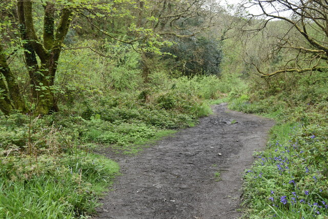
The creek at Western Blackapit is a smaller body of water that branches off from the estuary. It is characterized by its calm and shallow waters, making it an ideal spot for kayaking, paddleboarding, and swimming. The creek is surrounded by lush green vegetation and offers a peaceful and serene environment for visitors to enjoy.
Overall, Western Blackapit in Cornwall offers a diverse range of natural landscapes, from the open sea to the estuary and creek. Its beauty and tranquility make it a popular destination for those seeking a peaceful getaway amidst stunning coastal scenery.
If you have any feedback on the listing, please let us know in the comments section below.
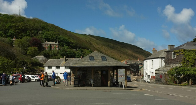
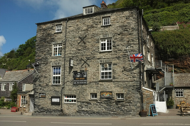
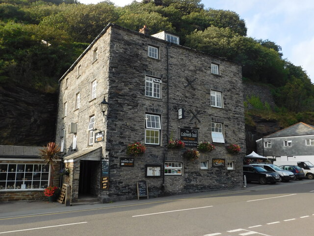
Western Blackapit Images
Images are sourced within 2km of 50.687331/-4.7040947 or Grid Reference SX0991. Thanks to Geograph Open Source API. All images are credited.

Western Blackapit is located at Grid Ref: SX0991 (Lat: 50.687331, Lng: -4.7040947)
Unitary Authority: Cornwall
Police Authority: Devon and Cornwall
What 3 Words
///coconuts.stubbed.manuals. Near Tintagel, Cornwall
Nearby Locations
Related Wikis

Boscastle Slate Quarries
Boscastle Slate Quarries are a series of disused coastal quarries between Willapark and Trevalga on the north coast of Cornwall, South West England....

Willapark (Boscastle)
Willapark (grid reference SX090913) is a 317-foot high promontory just south of Boscastle on the north coast of Cornwall in South West England. It is...

River Valency
The River Valency (Cornish: Dowr an Velinji) is a short river in north Cornwall, England, UK, with many small tributaries. After running past Lesnewth...
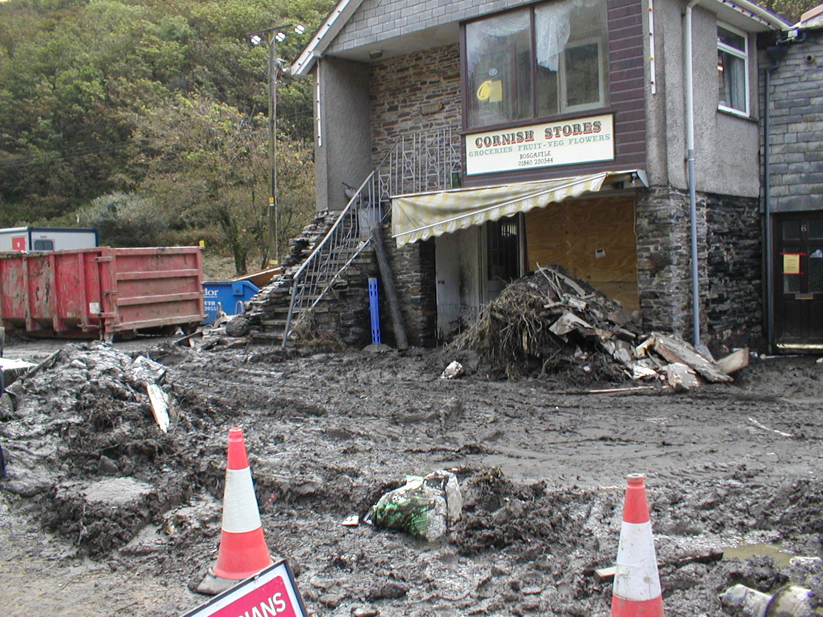
2004 Boscastle flood
The 2004 Boscastle flood (Cornish: An Lanwes Kastel Boterel 2004) occurred on Monday, 16 August 2004 in the two villages of Boscastle and Crackington Haven...

Boscastle
Boscastle (Standard Written Form: Kastel Boterel) is a village and fishing port on the north coast of Cornwall, England, in the civil parish of Forrabury...

Museum of Witchcraft and Magic
The Museum of Witchcraft and Magic, formerly known as the Museum of Witchcraft, is a museum dedicated to European witchcraft and magic located in the village...
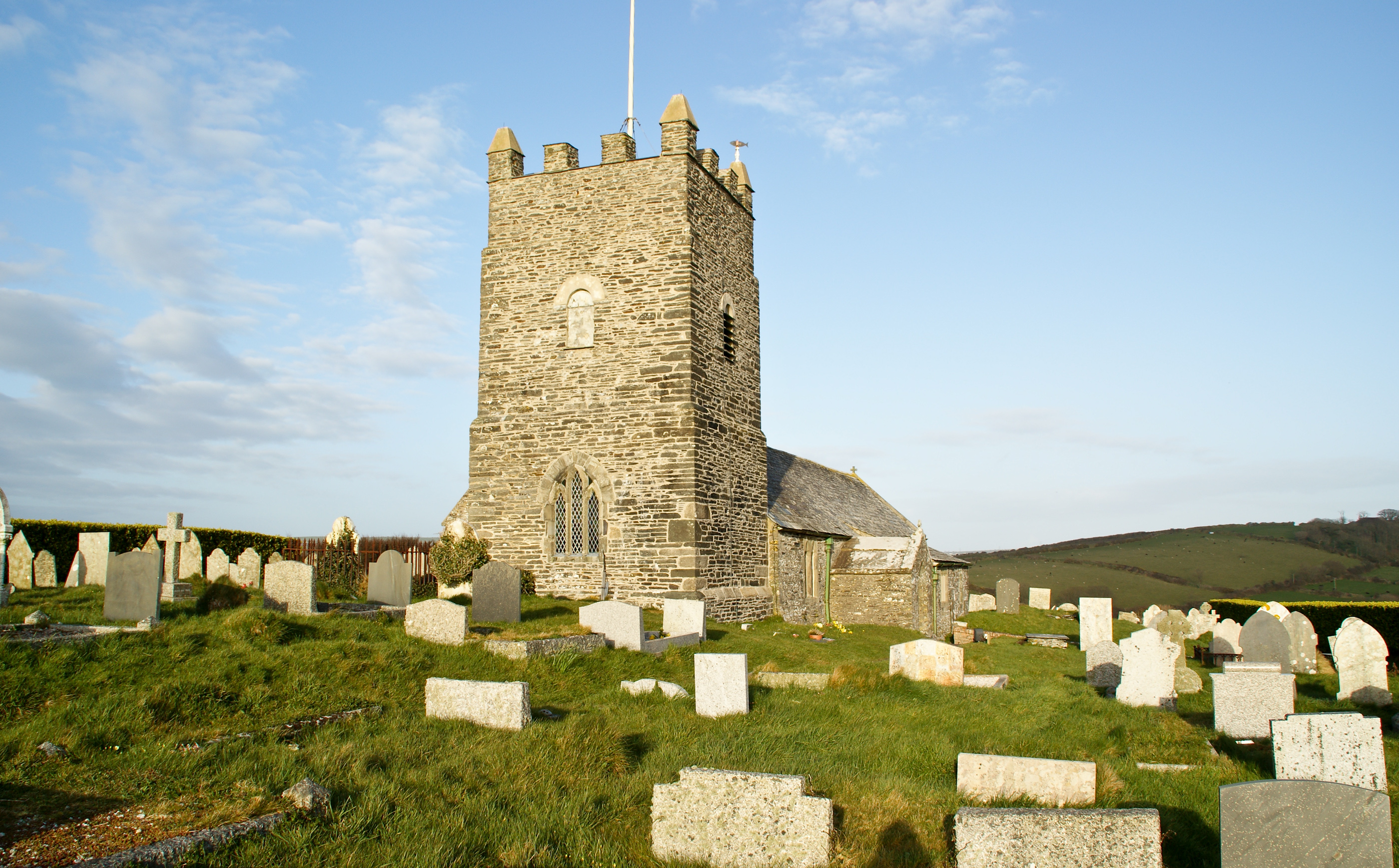
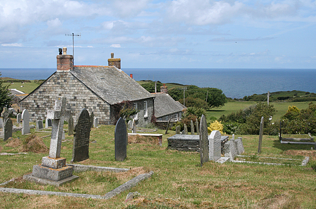
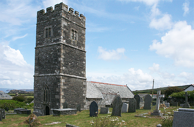
Forrabury and Minster
Forrabury and Minster is a civil parish on the north coast of Cornwall, England, United Kingdom. The parish was originally divided between the coastal...
Trevalga
Trevalga (Cornish: Trevelgi) is a coastal civil parish and hamlet in north Cornwall, England, United Kingdom. The parish is bounded on the north by the...
Nearby Amenities
Located within 500m of 50.687331,-4.7040947Have you been to Western Blackapit?
Leave your review of Western Blackapit below (or comments, questions and feedback).