Peel Cove
Sea, Estuary, Creek in Cornwall
England
Peel Cove
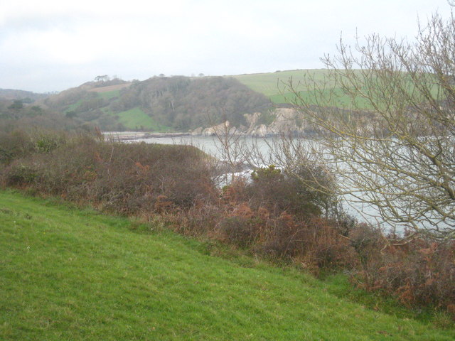
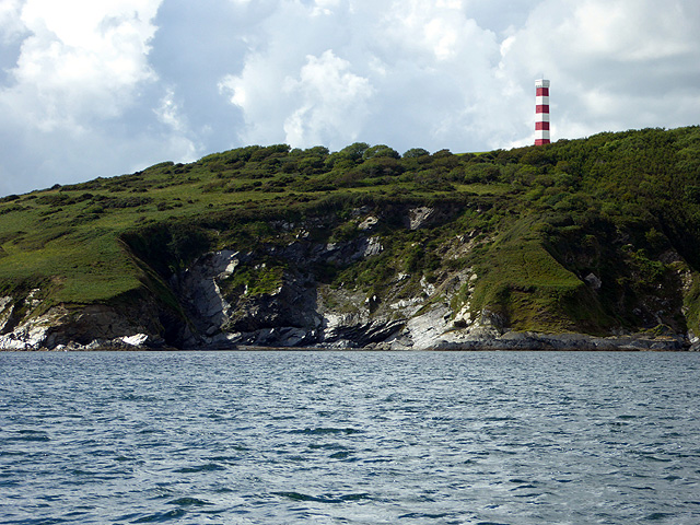
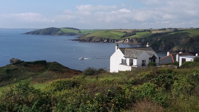
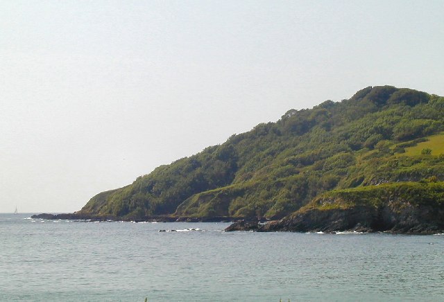
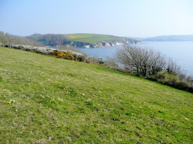
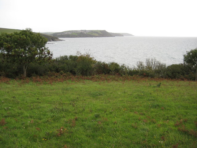
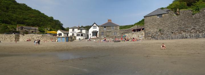
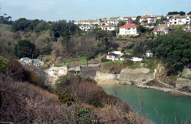
Peel Cove is a picturesque coastal area located in Cornwall, England. Nestled between towering cliffs and rolling hills, this beautiful natural wonder is a haven for nature enthusiasts and beachgoers alike. Situated on the southern coast of Cornwall, Peel Cove offers stunning views of the Atlantic Ocean.
The cove is renowned for its calm and clear waters, making it a popular spot for swimming, snorkeling, and kayaking. The sandy beach stretches out, providing ample space for sunbathing and picnicking. At low tide, a vast expanse of golden sand is revealed, creating an inviting playground for children and families.
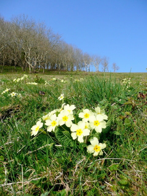
The cove is also home to an estuary, where a small river meets the sea. This estuary is a crucial habitat for various species of marine and birdlife, making it an ideal spot for birdwatching and wildlife spotting. Visitors can observe a wide array of seabirds, including gulls, cormorants, and even the occasional puffin.
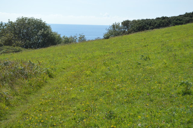
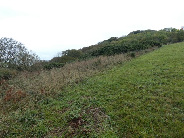
For those seeking a more adventurous experience, Peel Cove offers a scenic coastal path that winds its way along the cliffs, providing breathtaking views of the rugged coastline. The area is also dotted with small creeks and rock pools, teeming with vibrant marine life, perfect for exploring during low tide.
Peel Cove is easily accessible, with parking facilities nearby, and a small café offering refreshments. It is a place of tranquility, where visitors can immerse themselves in the beauty of nature, enjoy the calming sound of the waves, and experience the true essence of Cornwall's stunning coastline.
If you have any feedback on the listing, please let us know in the comments section below.
Peel Cove Images
Images are sourced within 2km of 50.31909/-4.682302 or Grid Reference SX0950. Thanks to Geograph Open Source API. All images are credited.


Peel Cove is located at Grid Ref: SX0950 (Lat: 50.31909, Lng: -4.682302)
Unitary Authority: Cornwall
Police Authority: Devon and Cornwall
What 3 Words
///dodges.trembles.sandwich. Near Fowey, Cornwall
Nearby Locations
Related Wikis
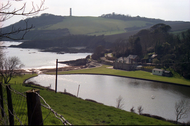
Gribben Head
Gribbin Head (Cornish: an Gribyn) is a promontory on the south coast of Cornwall, England, UK, owned and managed by the National Trust. It separates St...
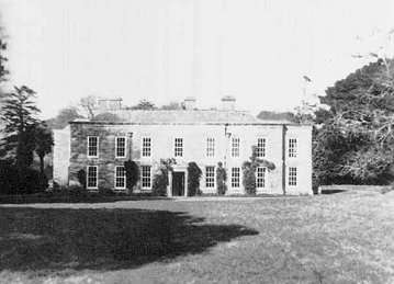
Menabilly
Menabilly (Cornish: Men Ebeli, meaning stone of colts) is a historic estate on the south coast of Cornwall, England, situated within the parish of Tywardreath...
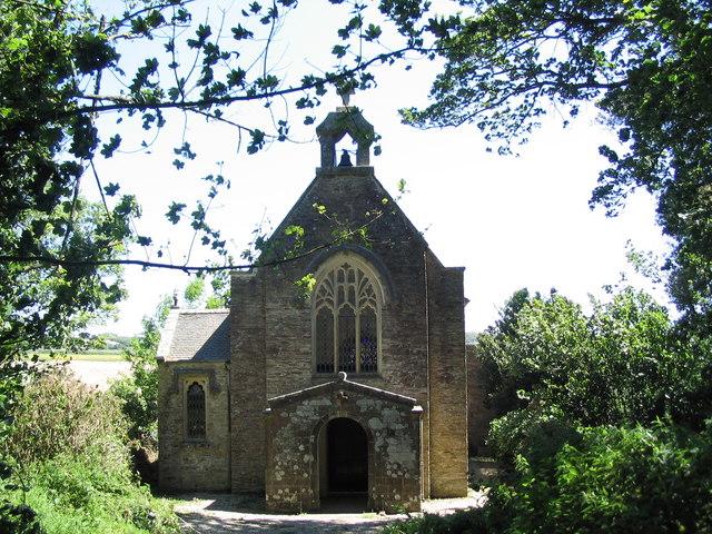
Tregaminion Church
Tregaminion Church is a Church of England church in Tregaminion, Cornwall, England, UK. The church dates to the early 19th century and is a Grade II* listed...
Polkerris
Polkerris (Cornish: Pollkerys, meaning fortified pool) is a small village on the south coast of Cornwall, England. It forms part of the civil parish of...
Readymoney Cove
Readymoney Cove (Cornish: Porth Mundy, meaning mineral house cove) is a sandy beach to the south of the harbour town of Fowey, Cornwall, England, United...
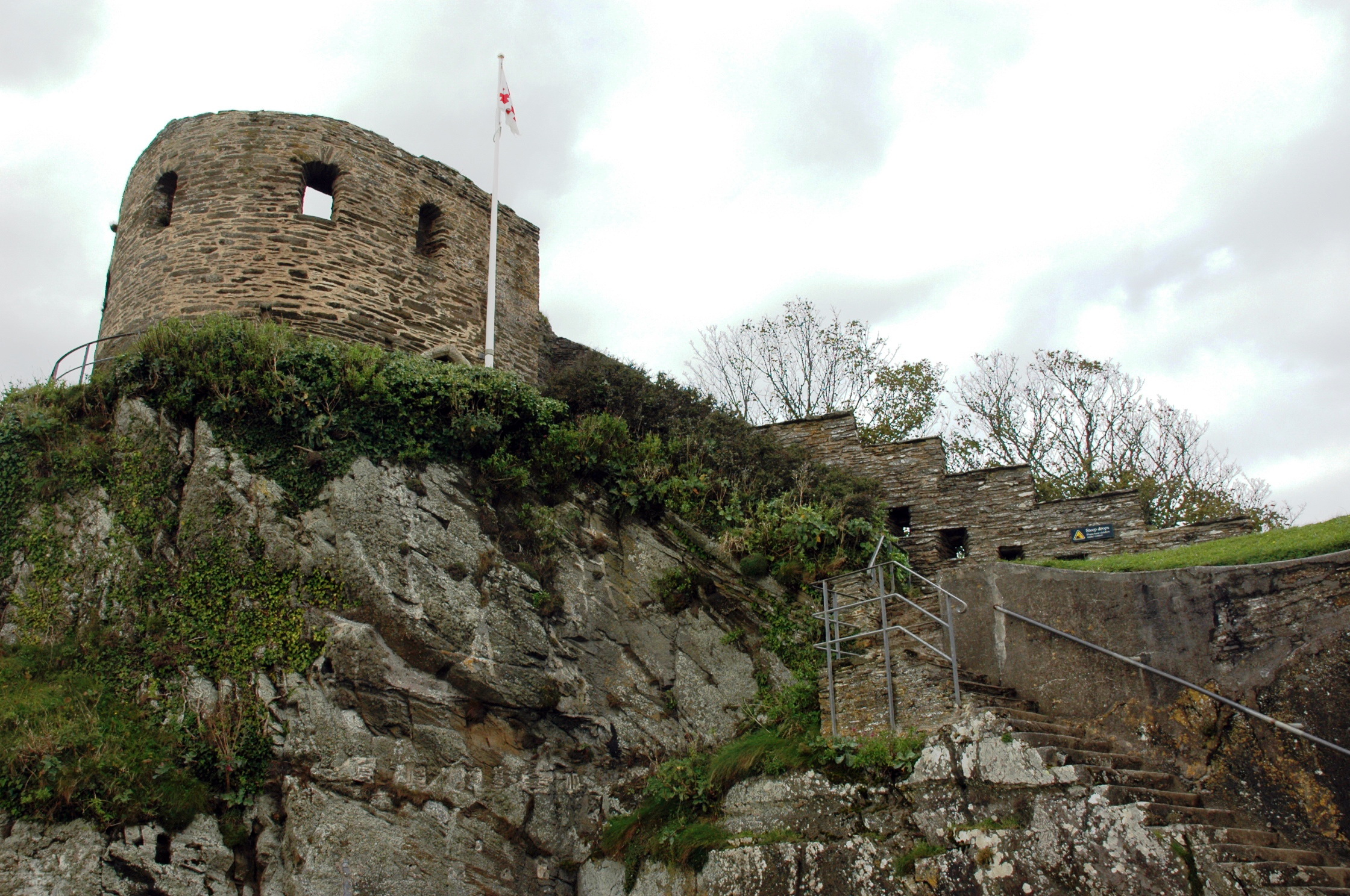
St Catherine's Castle
St Catherine's Castle (Cornish: Kastel S. Kattrin) is a Henrician castle in Cornwall, England, built by Thomas Treffry between approximately 1538 and 1540...

Par River, Cornwall
The Par River (Cornish: Dowr Gwernan, meaning alder tree river), also known as the Luxulyan River is a river draining the area north of St Blazey in Cornwall...

River Fowey
The River Fowey ( FOY; Standard Written Form: Fowi) is a river in Cornwall, England, United Kingdom. It rises at Fowey Well (originally Cornish: Fenten...
Nearby Amenities
Located within 500m of 50.31909,-4.682302Have you been to Peel Cove?
Leave your review of Peel Cove below (or comments, questions and feedback).