Willapark
Coastal Feature, Headland, Point in Cornwall
England
Willapark
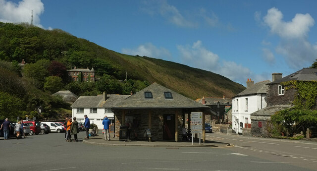
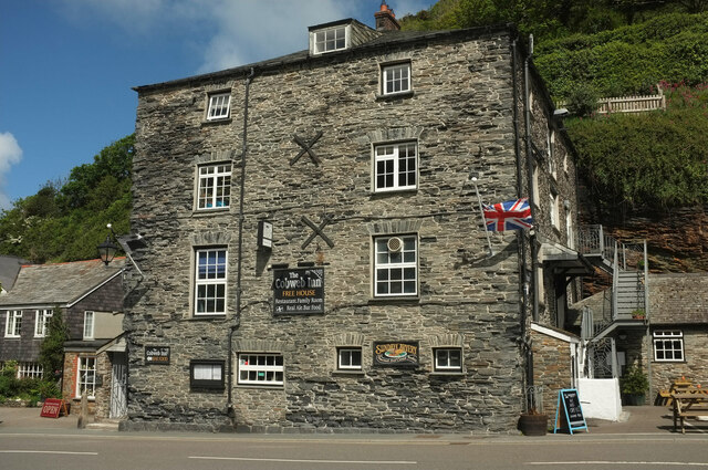
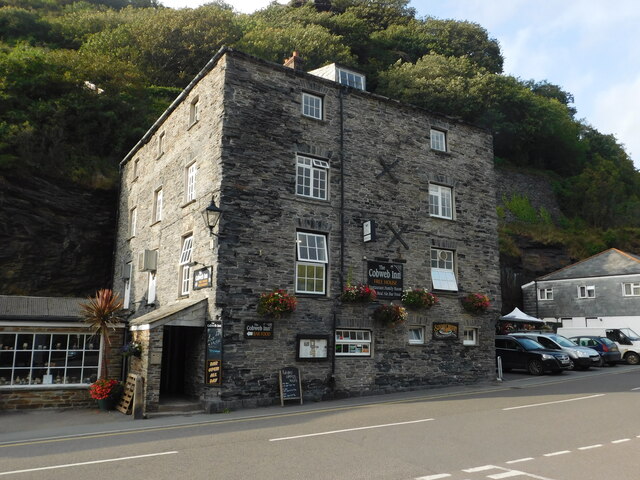
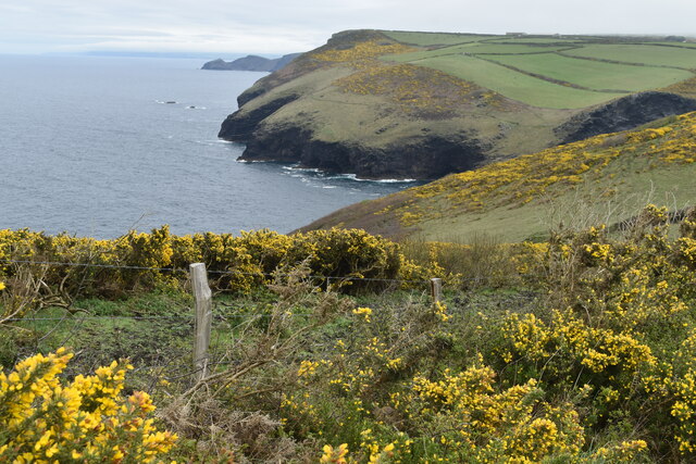
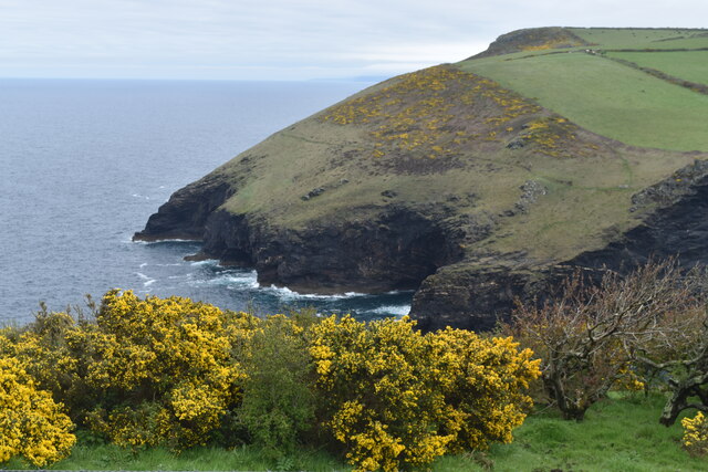
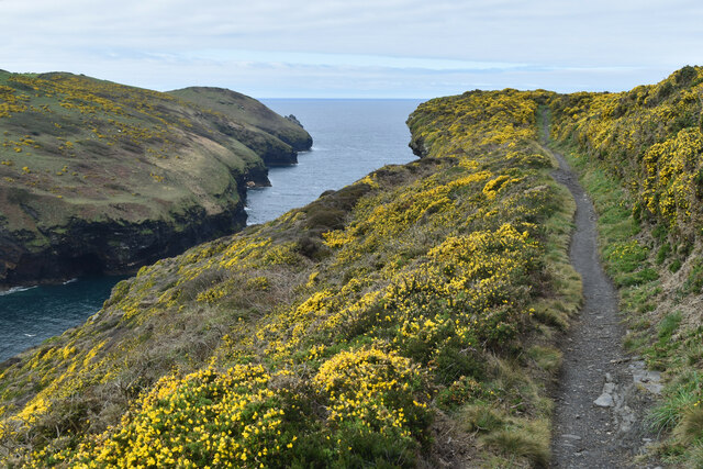
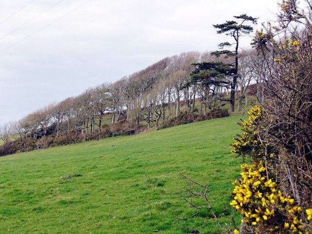
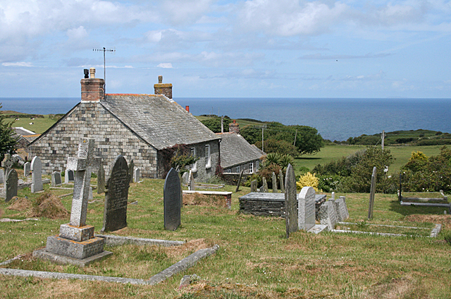
Willapark is a prominent headland located on the north coast of Cornwall, England. Situated near the village of Boscastle, it is a striking coastal feature that offers breathtaking views of the Atlantic Ocean. With an elevation of approximately 86 meters, Willapark is known for its rugged cliffs, rock formations, and picturesque landscape.
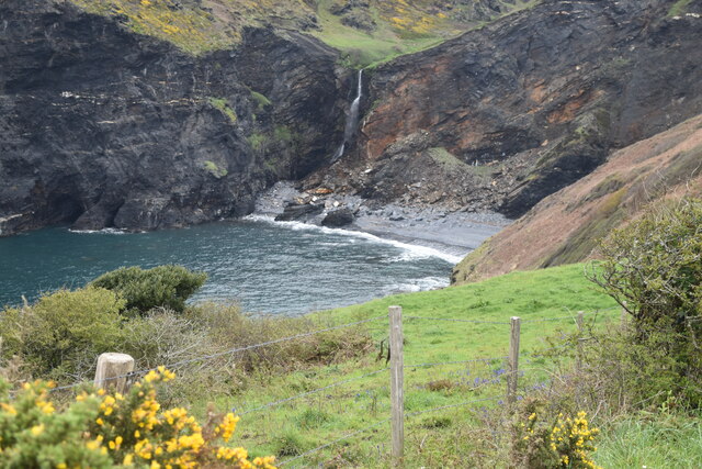
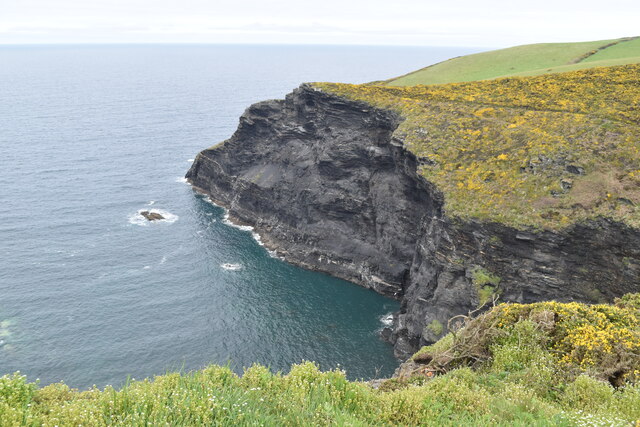
The headland is formed mainly of slate and shale, which have been shaped over centuries by the relentless force of the sea. This has resulted in the creation of numerous caves, arches, and stacks that add to the dramatic beauty of the area. The most famous of these formations is the "Willapark Arch," a natural arch that stands as a testament to the power of erosion.
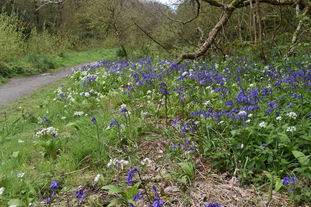
Willapark is also renowned for its rich biodiversity. The headland is home to a variety of plant species, including sea thrift, sea beet, and wildflowers that flourish in the coastal environment. It serves as an important habitat for nesting seabirds, such as fulmars, razorbills, and guillemots, which can be observed soaring above the cliffs.
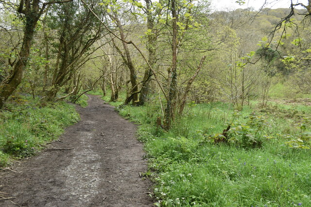
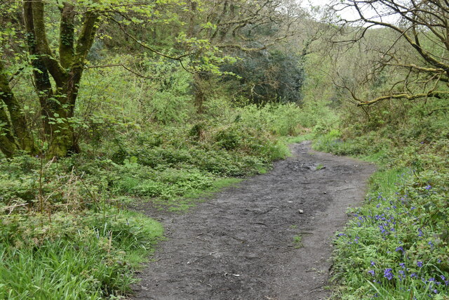
Visitors to Willapark can enjoy a range of activities. The headland provides excellent opportunities for hiking and walking, with well-marked trails that lead to stunning viewpoints. It is also a popular spot for birdwatching and wildlife enthusiasts, who can witness the diverse marine life and seabird colonies.
Overall, Willapark is a captivating coastal feature that showcases the raw power of nature. Its rugged cliffs, unique rock formations, and abundant wildlife make it an essential destination for anyone seeking to experience the awe-inspiring beauty of the Cornish coastline.
If you have any feedback on the listing, please let us know in the comments section below.
Willapark Images
Images are sourced within 2km of 50.689135/-4.7035046 or Grid Reference SX0991. Thanks to Geograph Open Source API. All images are credited.

Willapark is located at Grid Ref: SX0991 (Lat: 50.689135, Lng: -4.7035046)
Unitary Authority: Cornwall
Police Authority: Devon and Cornwall
What 3 Words
///transcribes.suiting.drain. Near Tintagel, Cornwall
Nearby Locations
Related Wikis

Willapark (Boscastle)
Willapark (grid reference SX090913) is a 317-foot high promontory just south of Boscastle on the north coast of Cornwall in South West England. It is...

Boscastle Slate Quarries
Boscastle Slate Quarries are a series of disused coastal quarries between Willapark and Trevalga on the north coast of Cornwall, South West England....

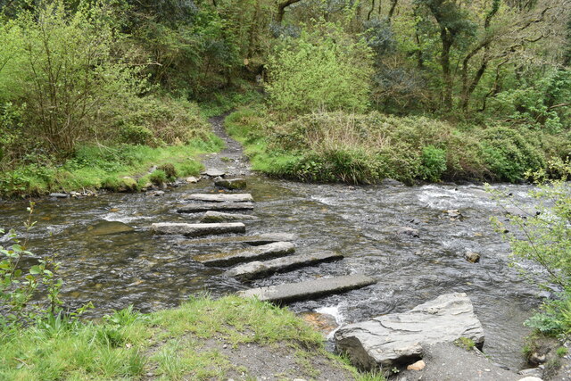
River Valency
The River Valency (Cornish: Dowr an Velinji) is a short river in north Cornwall, England, UK, with many small tributaries. After running past Lesnewth...
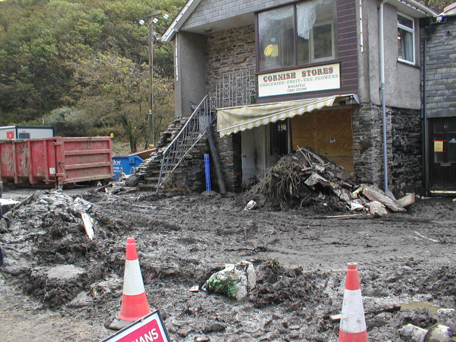
2004 Boscastle flood
The 2004 Boscastle flood (Cornish: An Lanwes Kastel Boterel 2004) occurred on Monday, 16 August 2004 in the two villages of Boscastle and Crackington Haven...
Nearby Amenities
Located within 500m of 50.689135,-4.7035046Have you been to Willapark?
Leave your review of Willapark below (or comments, questions and feedback).