Forrabury Common
Downs, Moorland in Cornwall
England
Forrabury Common
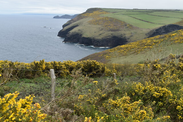
Forrabury Common is a picturesque area located in the county of Cornwall, England. It is situated on the north coast of Cornwall, near the village of Boscastle. The common is characterized by its rolling downs and vast moorland, which stretch over an area of approximately 100 acres.
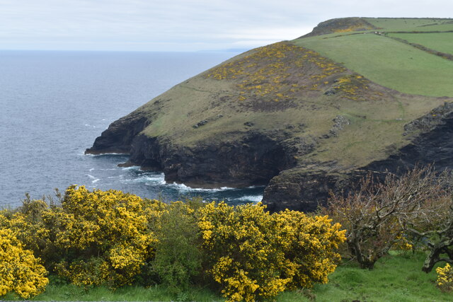
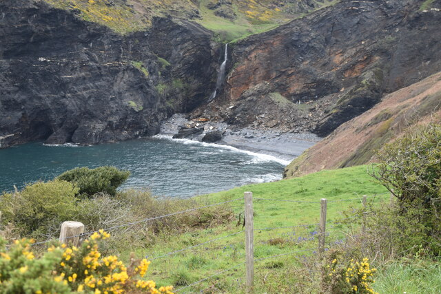
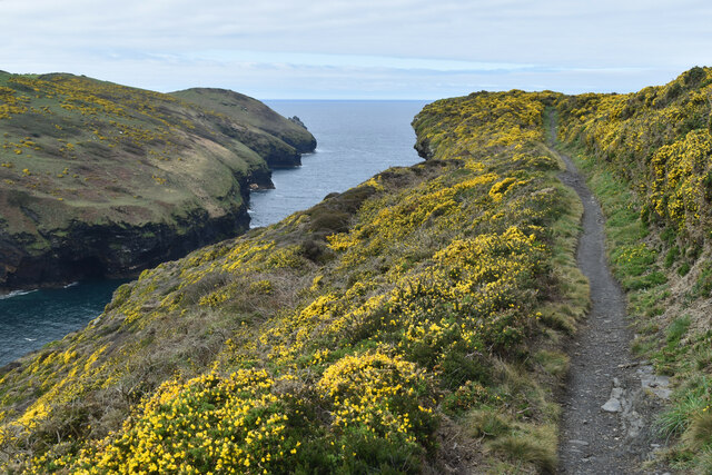
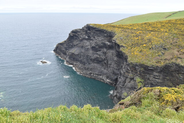
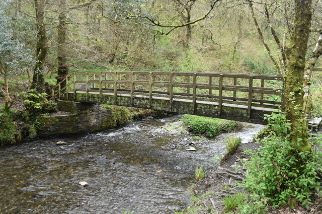
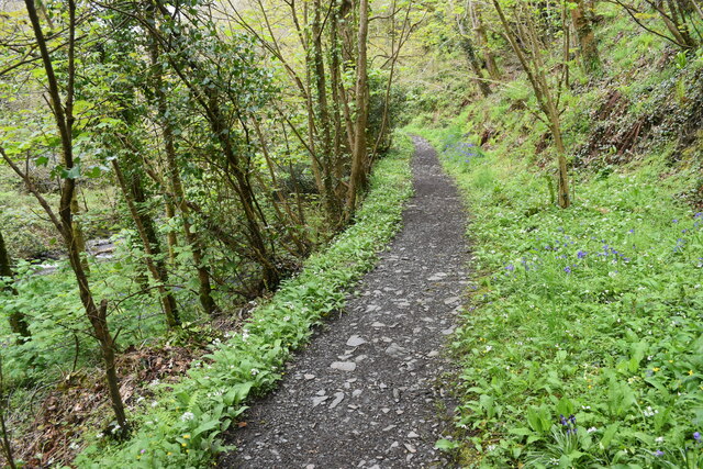
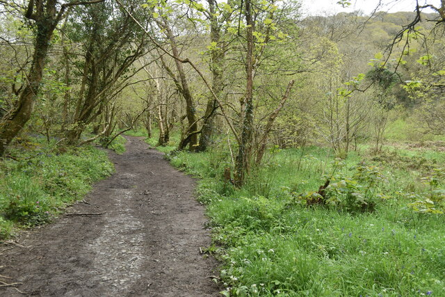
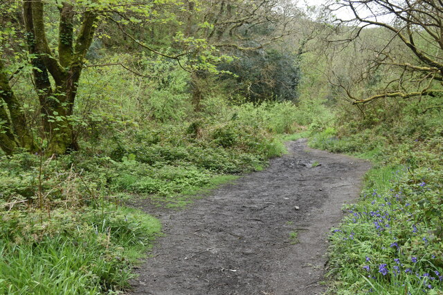
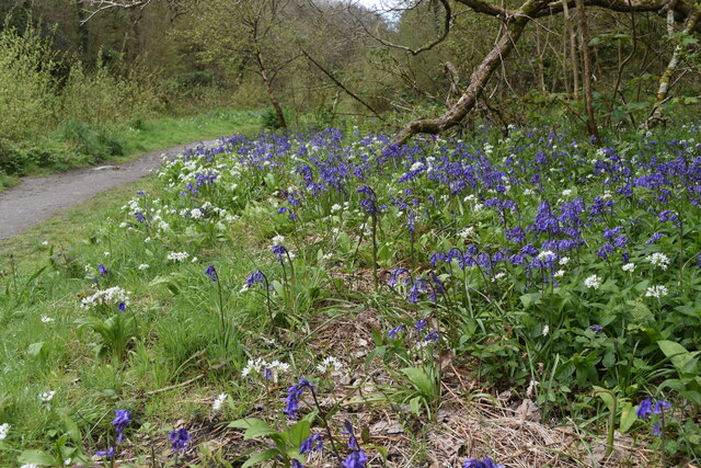
The landscape of Forrabury Common is defined by its open, sweeping hills and expansive views of the surrounding countryside. The downs, covered in a patchwork of heather and grass, provide a habitat for a variety of flora and fauna, making it a popular spot for nature enthusiasts and hikers. The moorland, on the other hand, is marked by its wild and rugged beauty, with scattered boulders and rocky outcrops adding to its charm.
In addition to its natural beauty, Forrabury Common holds historical significance. It is home to an ancient earthwork known as "Forrabury Stitches." These earthworks are believed to date back to the Iron Age and were likely used as an enclosure for farming or defensive purposes.
The common is also known for its traditional farming practices, with sheep grazing on its grassy slopes. This pastoral scene adds to the idyllic charm of the area, giving visitors a glimpse into Cornwall's rural heritage.
Forrabury Common offers visitors a peaceful escape from the hustle and bustle of modern life. Whether it's taking a leisurely walk, birdwatching, or simply enjoying the stunning panoramic views, this natural haven is a must-visit destination for those seeking tranquility and a connection with nature.
If you have any feedback on the listing, please let us know in the comments section below.
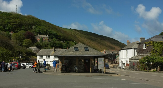
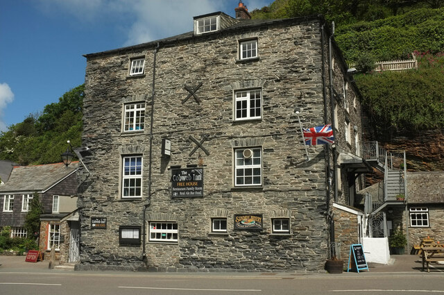
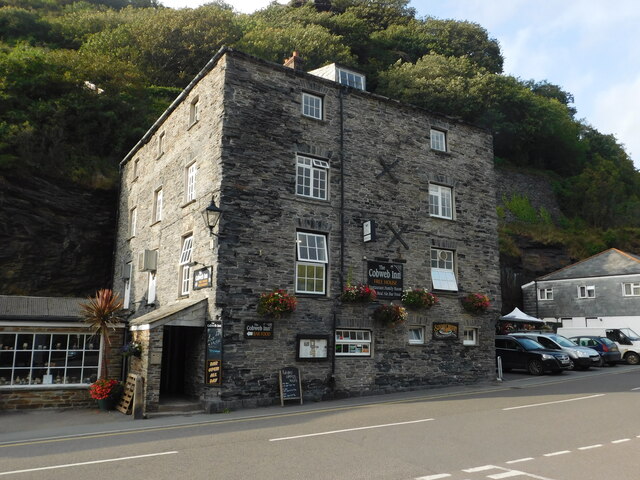
Forrabury Common Images
Images are sourced within 2km of 50.688152/-4.6981526 or Grid Reference SX0991. Thanks to Geograph Open Source API. All images are credited.


Forrabury Common is located at Grid Ref: SX0991 (Lat: 50.688152, Lng: -4.6981526)
Unitary Authority: Cornwall
Police Authority: Devon and Cornwall
What 3 Words
///lunge.deaf.serve. Near Tintagel, Cornwall
Nearby Locations
Related Wikis
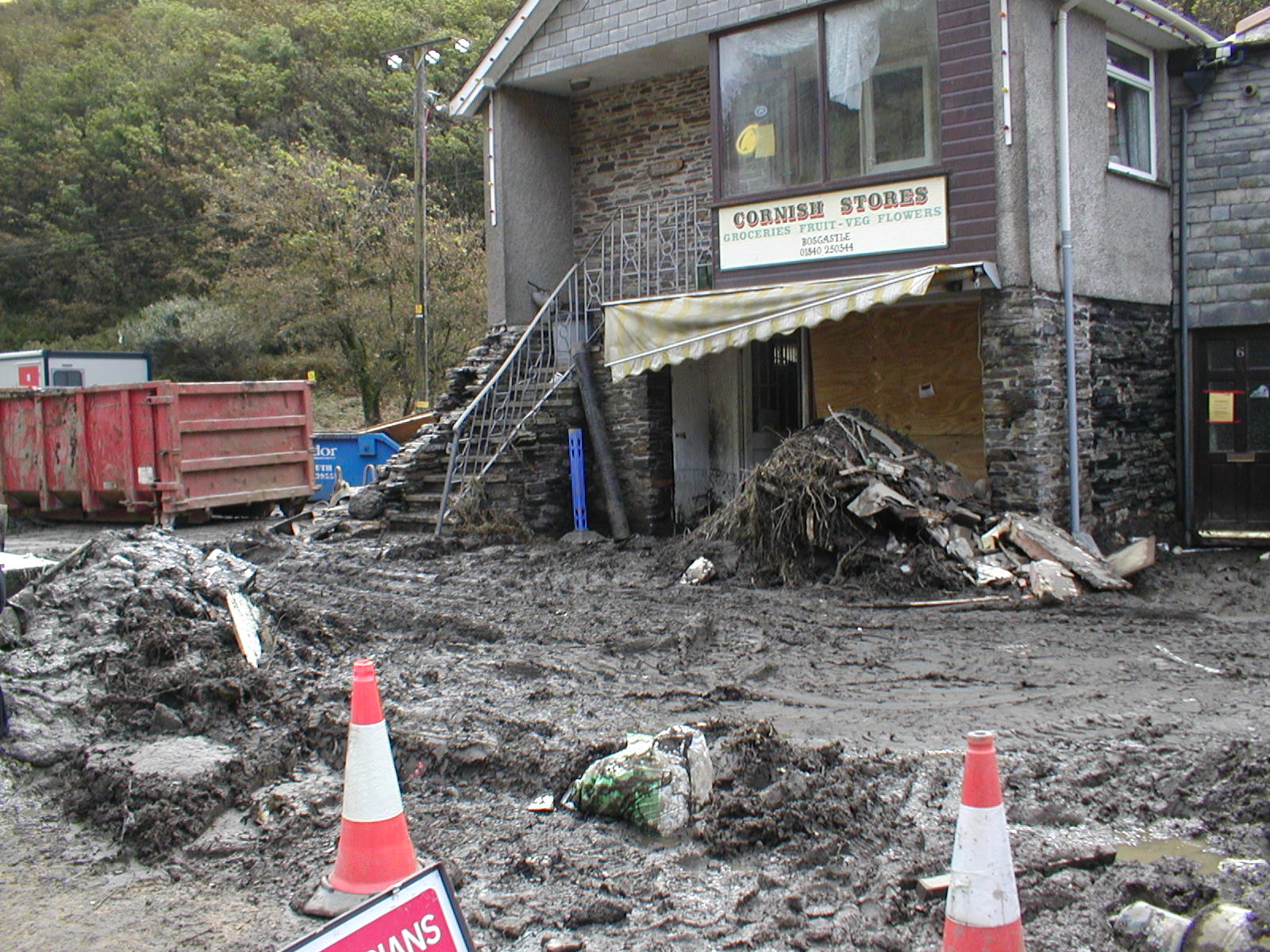
2004 Boscastle flood
The 2004 Boscastle flood (Cornish: An Lanwes Kastel Boterel 2004) occurred on Monday, 16 August 2004 in the two villages of Boscastle and Crackington Haven...

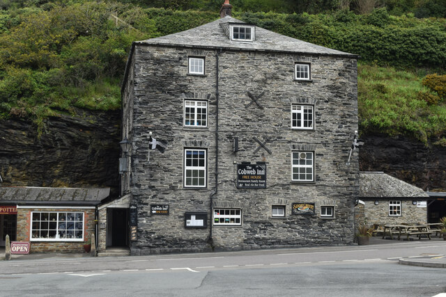
Willapark (Boscastle)
Willapark (grid reference SX090913) is a 317-foot high promontory just south of Boscastle on the north coast of Cornwall in South West England. It is...

Museum of Witchcraft and Magic
The Museum of Witchcraft and Magic, formerly known as the Museum of Witchcraft, is a museum dedicated to European witchcraft and magic located in the village...

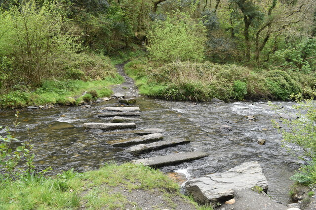
River Valency
The River Valency (Cornish: Dowr an Velinji) is a short river in north Cornwall, England, UK, with many small tributaries. After running past Lesnewth...
Nearby Amenities
Located within 500m of 50.688152,-4.6981526Have you been to Forrabury Common?
Leave your review of Forrabury Common below (or comments, questions and feedback).