Eastern Blackapit
Sea, Estuary, Creek in Cornwall
England
Eastern Blackapit
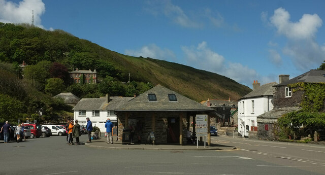
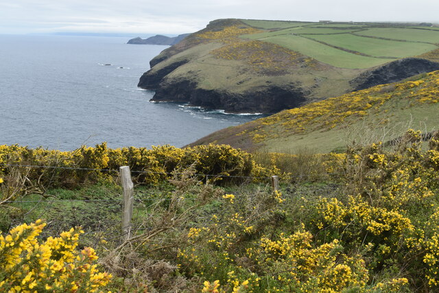
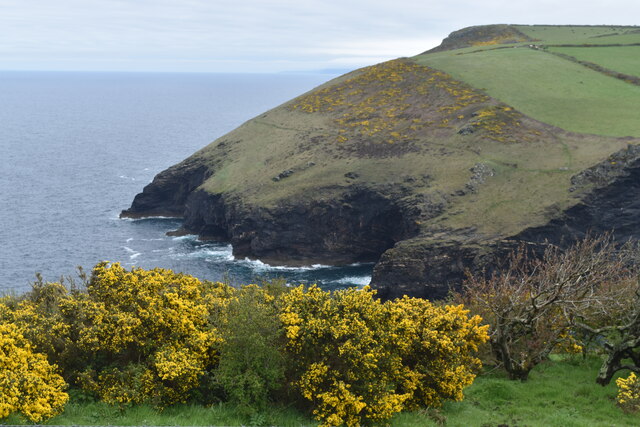
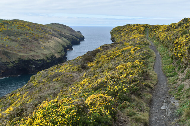
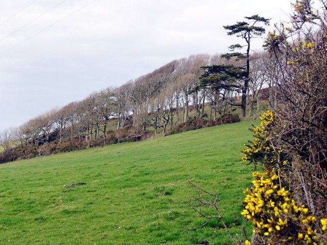
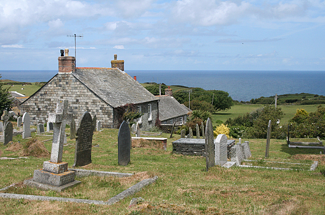
Eastern Blackapit is a picturesque coastal area located in Cornwall, England. Situated along the southeastern coast, it is bordered by the vast expanse of the Celtic Sea. The region is renowned for its stunning natural beauty and diverse ecosystem, attracting both locals and tourists alike.
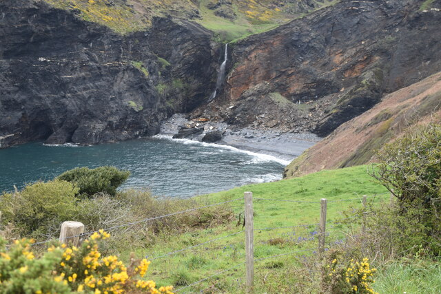
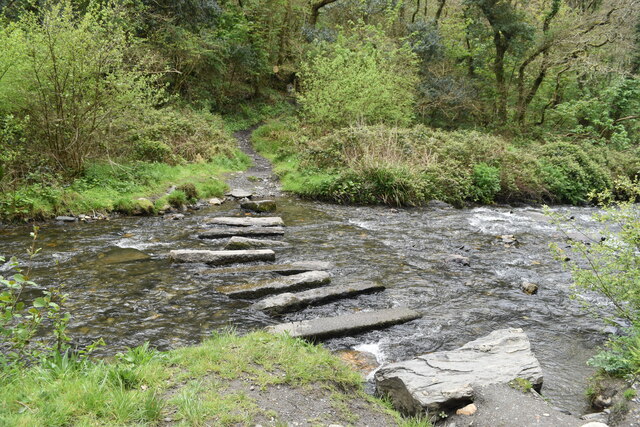
The prominent feature of Eastern Blackapit is its estuary, which serves as an outlet for several rivers, including the River Fowey and the River Lerryn. The estuary offers a tranquil and scenic environment, with its calm, glistening waters reflecting the surrounding cliffs and greenery. It is a popular spot for boating, fishing, and various water activities.
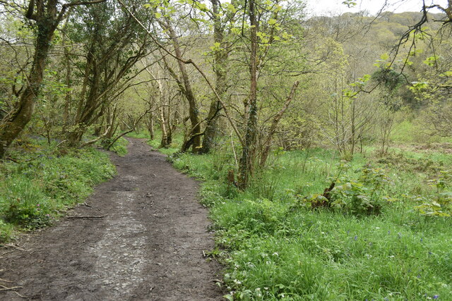
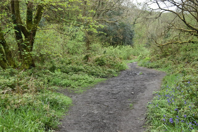
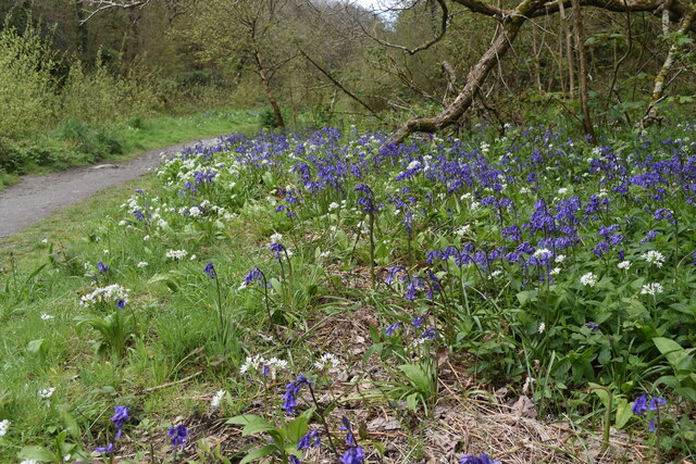
Within the estuary, there is also a creek that meanders through the landscape, adding to the charm of the area. The creek is flanked by lush vegetation, creating a serene and idyllic atmosphere. It provides a habitat for a variety of flora and fauna, making it a haven for nature enthusiasts and birdwatchers.
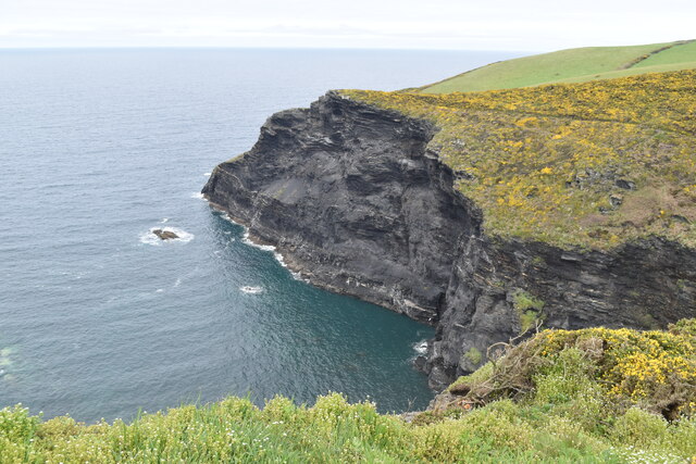
The coastal area of Eastern Blackapit is known for its rugged cliffs and rocky shores, which are a haven for marine life. The sea here is often tumultuous, with crashing waves and powerful tides. This makes it a popular destination for surfers and adrenaline seekers who enjoy the challenge of the rough waters.
Eastern Blackapit, with its combination of sea, estuary, and creek, offers a unique blend of natural beauty and recreational opportunities. Its unspoiled landscapes and diverse ecosystems make it an appealing destination for those seeking a peaceful retreat or an adventurous coastal getaway.
If you have any feedback on the listing, please let us know in the comments section below.
Eastern Blackapit Images
Images are sourced within 2km of 50.690422/-4.7019219 or Grid Reference SX0991. Thanks to Geograph Open Source API. All images are credited.

Eastern Blackapit is located at Grid Ref: SX0991 (Lat: 50.690422, Lng: -4.7019219)
Unitary Authority: Cornwall
Police Authority: Devon and Cornwall
What 3 Words
///commuted.digestion.competing. Near Tintagel, Cornwall
Nearby Locations
Related Wikis

Willapark (Boscastle)
Willapark (grid reference SX090913) is a 317-foot high promontory just south of Boscastle on the north coast of Cornwall in South West England. It is...

River Valency
The River Valency (Cornish: Dowr an Velinji) is a short river in north Cornwall, England, UK, with many small tributaries. After running past Lesnewth...
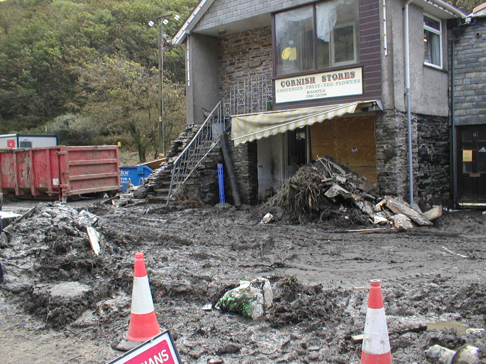
2004 Boscastle flood
The 2004 Boscastle flood (Cornish: An Lanwes Kastel Boterel 2004) occurred on Monday, 16 August 2004 in the two villages of Boscastle and Crackington Haven...

Boscastle Slate Quarries
Boscastle Slate Quarries are a series of disused coastal quarries between Willapark and Trevalga on the north coast of Cornwall, South West England....

Museum of Witchcraft and Magic
The Museum of Witchcraft and Magic, formerly known as the Museum of Witchcraft, is a museum dedicated to European witchcraft and magic located in the village...

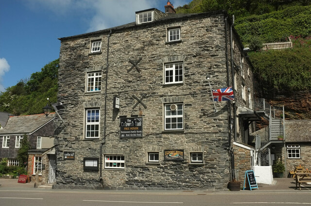
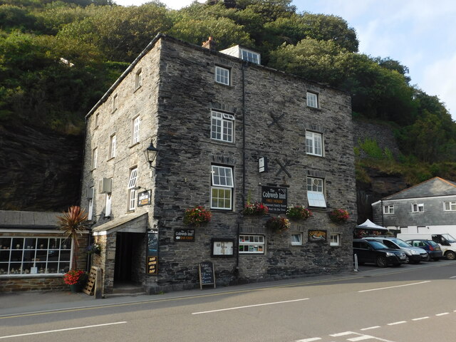
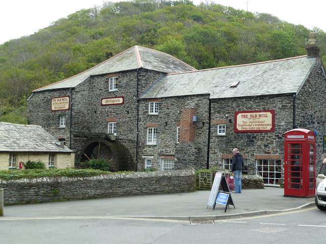
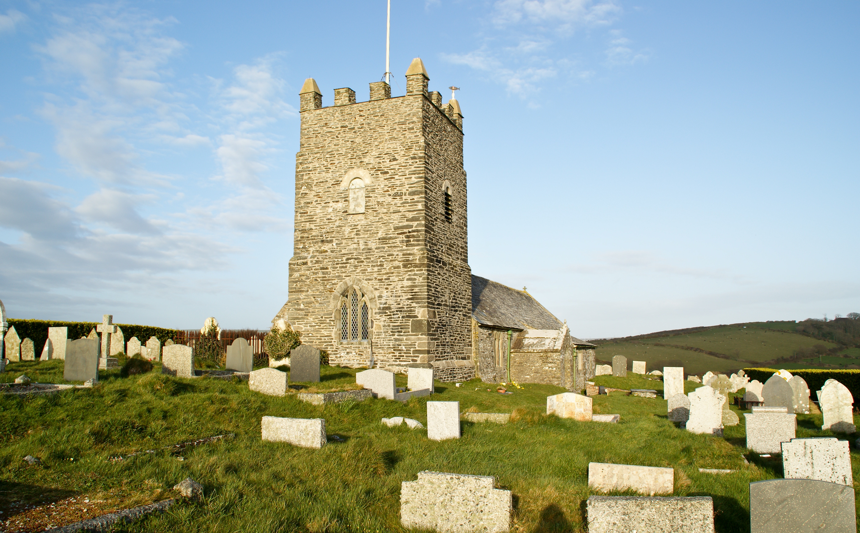
Boscastle
Boscastle (Standard Written Form: Kastel Boterel) is a village and fishing port on the north coast of Cornwall, England, in the civil parish of Forrabury...
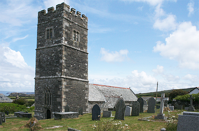
Forrabury and Minster
Forrabury and Minster is a civil parish on the north coast of Cornwall, England, United Kingdom. The parish was originally divided between the coastal...
Trevalga
Trevalga (Cornish: Trevelgi) is a coastal civil parish and hamlet in north Cornwall, England, United Kingdom. The parish is bounded on the north by the...
Nearby Amenities
Located within 500m of 50.690422,-4.7019219Have you been to Eastern Blackapit?
Leave your review of Eastern Blackapit below (or comments, questions and feedback).