Poll Gorm
Sea, Estuary, Creek in Argyllshire
Scotland
Poll Gorm
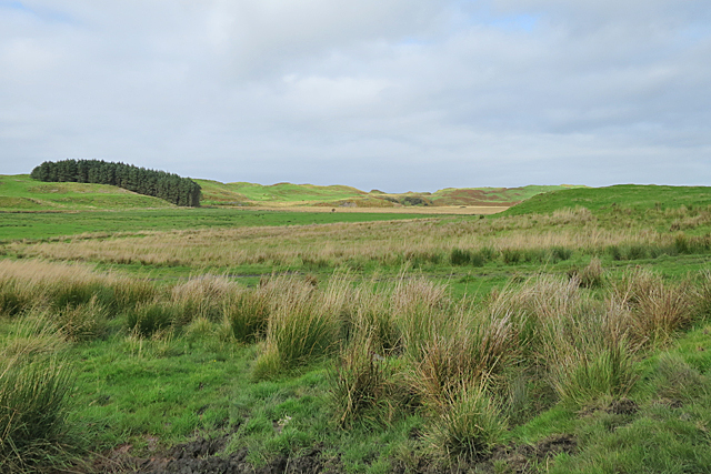
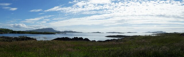
Poll Gorm is a picturesque coastal area located in Argyllshire, Scotland. Nestled between rolling hills and the vast expanse of the North Atlantic Ocean, it offers a stunning natural landscape that attracts both locals and tourists alike. The name "Poll Gorm" translates to "Blue Pool" in Gaelic, and it is aptly named for its crystal-clear waters that shimmer with shades of blue.
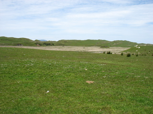
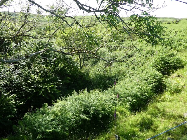
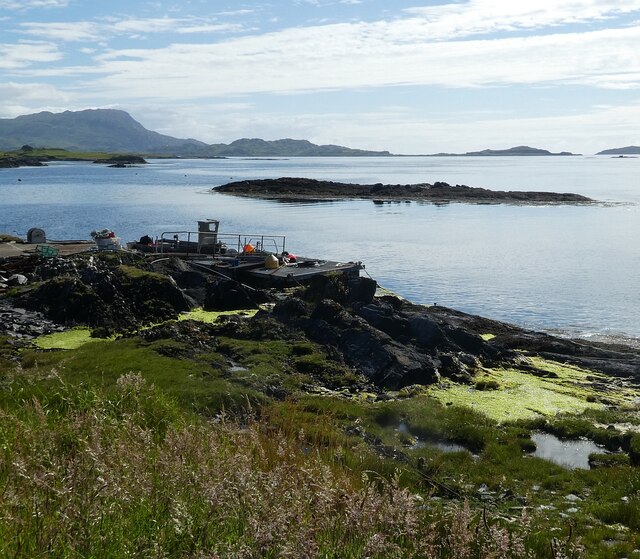
The main attraction of Poll Gorm is its sea, estuary, and creek. The sea stretches out endlessly, providing a breathtaking backdrop of crashing waves and dramatic cliffs. The estuary, formed where a river meets the sea, is a haven for birdwatchers, as it attracts a diverse array of coastal and migratory bird species. Visitors can witness the mesmerizing sight of birds soaring above the estuary, diving into the water to catch fish or wading along the shoreline.
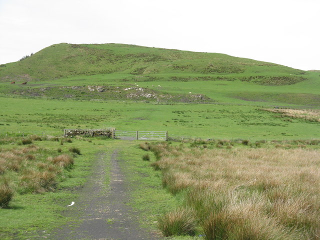
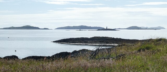
The creek, a small inlet of water, offers a tranquil setting for boating enthusiasts. Its calm waters provide a perfect spot for kayaking and paddleboarding, allowing visitors to explore the serene surroundings at their own pace. Additionally, the creek is home to an abundance of marine life, including seals, otters, and various species of fish.
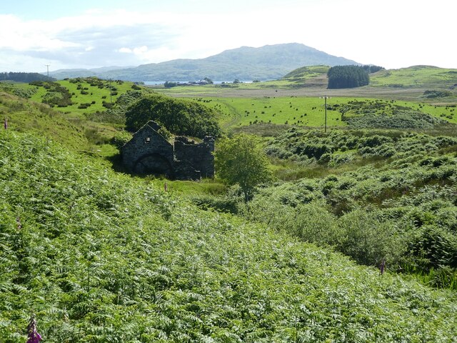
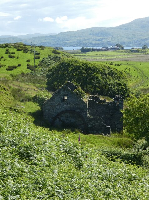
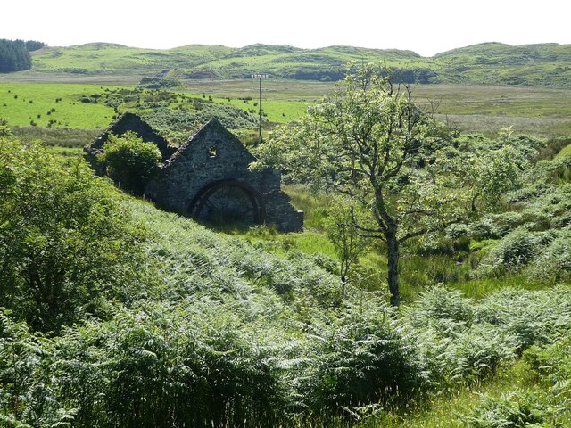
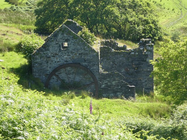
Aside from its natural beauty, Poll Gorm also boasts a rich history dating back centuries. Ruins of ancient castles and forts dot the landscape, serving as a reminder of the area's historical significance. Visitors can immerse themselves in the past by exploring these remnants and discovering the stories they hold.
Overall, Poll Gorm in Argyllshire is a haven for nature lovers and history enthusiasts, offering a stunning blend of coastal beauty, diverse wildlife, and a glimpse into the past.
If you have any feedback on the listing, please let us know in the comments section below.
Poll Gorm Images
Images are sourced within 2km of 56.239135/-5.6597112 or Grid Reference NM7311. Thanks to Geograph Open Source API. All images are credited.
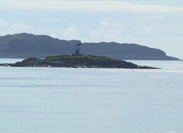
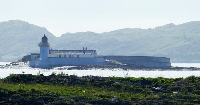
![Fladda Lighthouse, from the Sound of Luing A lighthouse on one of the smaller Slate Islands in the Sound of Luing, built in 1860 by the Stevenson brothers <span class="nowrap"><a title="https://en.wikipedia.org/wiki/Fladda,_Slate_Islands" rel="nofollow ugc noopener" href="https://en.wikipedia.org/wiki/Fladda,_Slate_Islands">Link</a><img style="margin-left:2px;" alt="External link" title="External link - shift click to open in new window" src="https://s1.geograph.org.uk/img/external.png" width="10" height="10"/></span>. The land to the left is another Slate Island, Belnahua. The cliffs [ca 250 m] to the right are about 13 km away at An Garradh, the southern edge of Laggan Deer Forest on Mull.](https://s0.geograph.org.uk/geophotos/06/93/18/6931864_8b7caa9d.jpg)
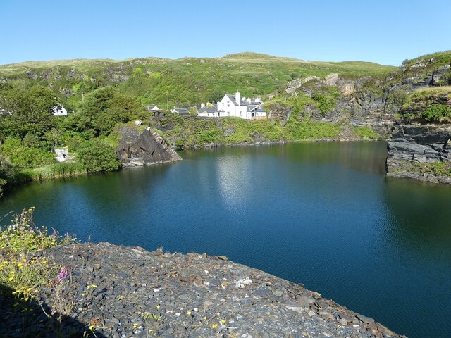
![Luing - Cullipool - Flooded quarry view southwards The flooded quarry to the south of the main part of the village of Cullipool on Luing is roughly L-shaped (though upside down and mirrored)
This view is southwards along the longer arm of the L. I think that the white house in the distance must be a newly built property [2022] as it appears neither on the large scale maps nor on aerial images.](https://s3.geograph.org.uk/geophotos/07/25/96/7259687_523f40bc.jpg)
Poll Gorm is located at Grid Ref: NM7311 (Lat: 56.239135, Lng: -5.6597112)
Unitary Authority: Argyll and Bute
Police Authority: Argyll and West Dunbartonshire
What 3 Words
///jumbo.spruced.darting. Near Lochbuie, Argyll & Bute
Nearby Locations
Related Wikis

Slate Islands
The Slate Islands are an island group in the Inner Hebrides, lying immediately off the west coast of Scotland, north of Jura and southwest of Oban. The...

Luing
Luing ( LING; Scottish Gaelic: Luinn) is one of the Slate Islands, Firth of Lorn, in the west of Argyll in Scotland, about 16 miles (26 km) south of Oban...

Fladda, Slate Islands
Fladda is one of the Slate Islands, off the west coast of Argyll and Bute, Scotland. Fladda is an islet in the Sound of Luing, between Luing and Belnahua...

Ardinamir
Ardinamir is an anchorage and small settlement on the island of Luing in Argyll and Bute, Scotland. == References ==
Nearby Amenities
Located within 500m of 56.239135,-5.6597112Have you been to Poll Gorm?
Leave your review of Poll Gorm below (or comments, questions and feedback).