Glas Eilean
Island in Argyllshire
Scotland
Glas Eilean
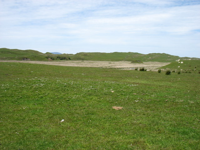
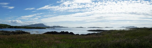
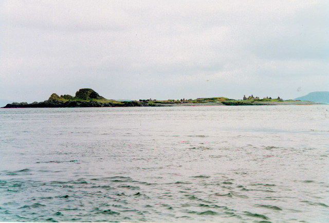
Glas Eilean is a small island located in Argyllshire, Scotland. It is situated in the Loch Craignish, off the west coast of the mainland. The island covers an area of approximately 0.6 hectares and is known for its natural beauty and rich biodiversity.
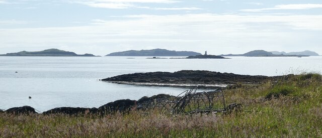
Glas Eilean is predominantly rocky, with a rugged coastline that is lined with small pebble beaches. The island is covered in lush vegetation, including heather, grasses, and wildflowers, providing a picturesque landscape. Its elevated position offers stunning panoramic views of the surrounding sea and nearby islands.
The island is home to various seabird species, including puffins, guillemots, and cormorants, making it a haven for birdwatchers. The surrounding waters are also teeming with marine life, such as seals, dolphins, and sea otters, adding to the island's natural charm.
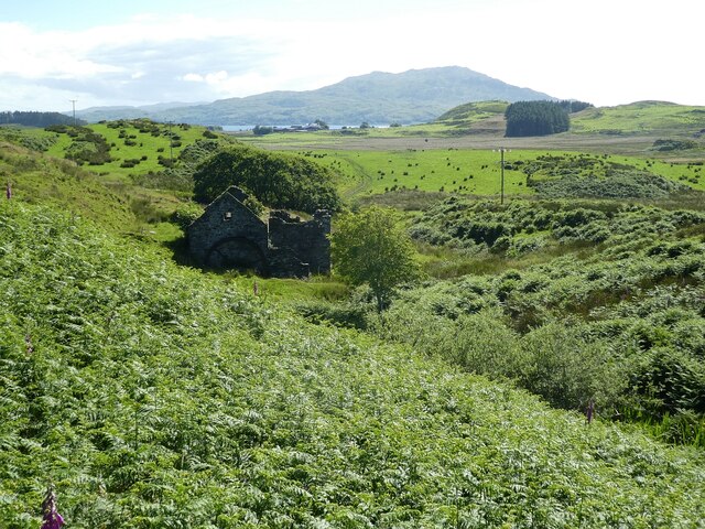
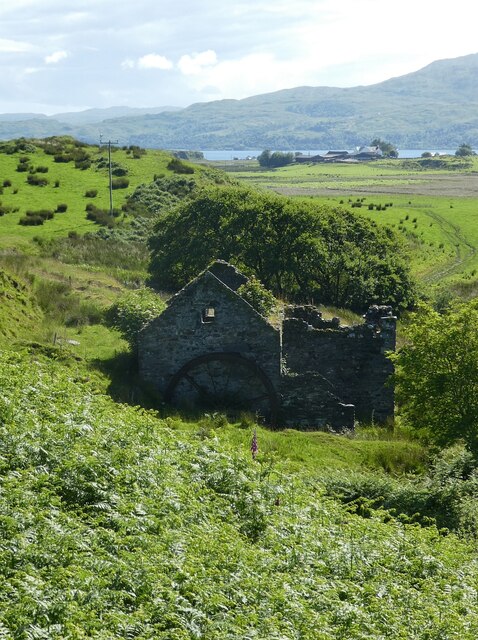
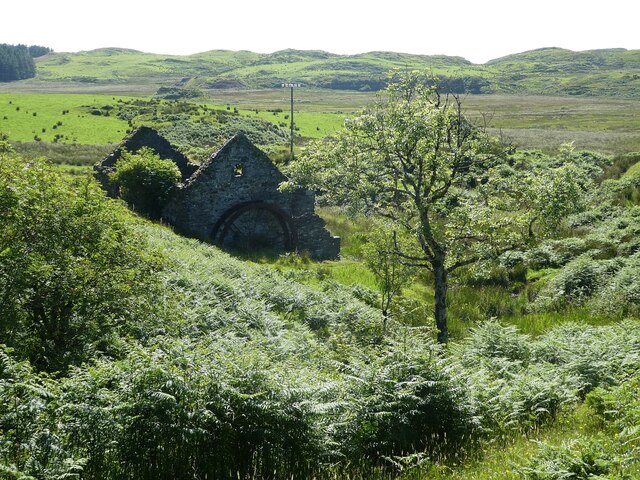
Glas Eilean has a rich history, with evidence of human occupation dating back thousands of years. It was once used as a hunting ground by ancient civilizations and later became a site for fishing and shellfish harvesting. Today, the island remains uninhabited, serving as a nature reserve and popular destination for tourists and nature enthusiasts.
Access to Glas Eilean is primarily by boat, with regular ferry services available from nearby towns. Visitors can explore the island's walking trails, admire its natural beauty, and enjoy picnics on the beaches. The tranquility and untouched nature of Glas Eilean make it a perfect escape for those seeking a peaceful retreat in the heart of Argyllshire's stunning landscape.
If you have any feedback on the listing, please let us know in the comments section below.
Glas Eilean Images
Images are sourced within 2km of 56.24256/-5.6606358 or Grid Reference NM7311. Thanks to Geograph Open Source API. All images are credited.
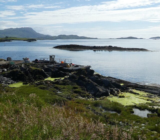
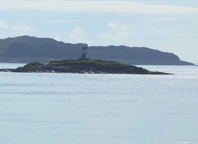
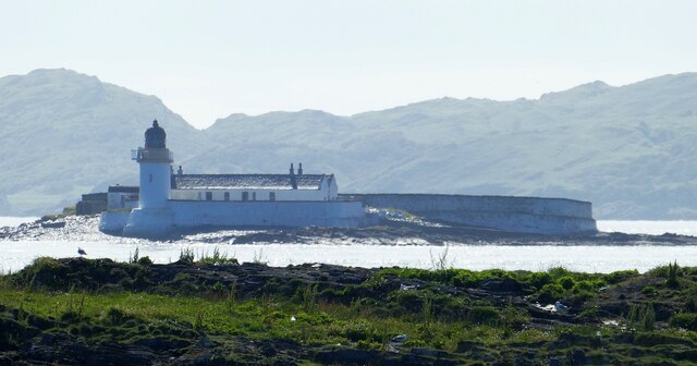
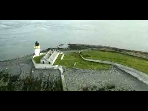
![Fladda Lighthouse, from the Sound of Luing A lighthouse on one of the smaller Slate Islands in the Sound of Luing, built in 1860 by the Stevenson brothers <span class="nowrap"><a title="https://en.wikipedia.org/wiki/Fladda,_Slate_Islands" rel="nofollow ugc noopener" href="https://en.wikipedia.org/wiki/Fladda,_Slate_Islands">Link</a><img style="margin-left:2px;" alt="External link" title="External link - shift click to open in new window" src="https://s1.geograph.org.uk/img/external.png" width="10" height="10"/></span>. The land to the left is another Slate Island, Belnahua. The cliffs [ca 250 m] to the right are about 13 km away at An Garradh, the southern edge of Laggan Deer Forest on Mull.](https://s0.geograph.org.uk/geophotos/06/93/18/6931864_8b7caa9d.jpg)
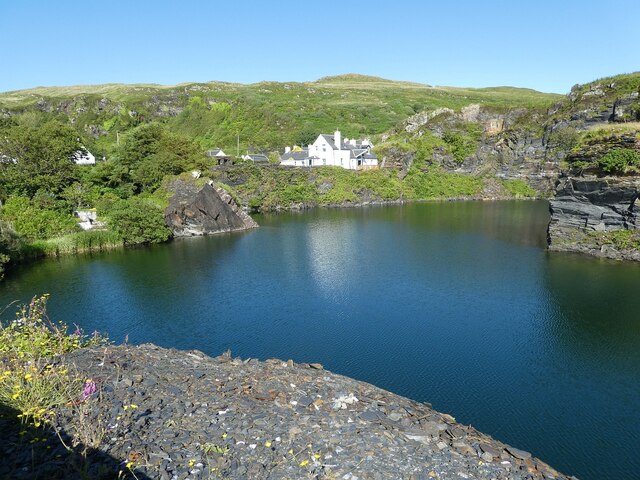
![Luing - Cullipool - Flooded quarry view southwards The flooded quarry to the south of the main part of the village of Cullipool on Luing is roughly L-shaped (though upside down and mirrored)
This view is southwards along the longer arm of the L. I think that the white house in the distance must be a newly built property [2022] as it appears neither on the large scale maps nor on aerial images.](https://s3.geograph.org.uk/geophotos/07/25/96/7259687_523f40bc.jpg)
Glas Eilean is located at Grid Ref: NM7311 (Lat: 56.24256, Lng: -5.6606358)
Unitary Authority: Argyll and Bute
Police Authority: Argyll and West Dunbartonshire
What 3 Words
///gullible.smarter.bouncing. Near Lochbuie, Argyll & Bute
Nearby Locations
Related Wikis

Slate Islands
The Slate Islands are an island group in the Inner Hebrides, lying immediately off the west coast of Scotland, north of Jura and southwest of Oban. The...

Fladda, Slate Islands
Fladda is one of the Slate Islands, off the west coast of Argyll and Bute, Scotland. Fladda is an islet in the Sound of Luing, between Luing and Belnahua...

Luing
Luing ( LING; Scottish Gaelic: Luinn) is one of the Slate Islands, Firth of Lorn, in the west of Argyll in Scotland, about 16 miles (26 km) south of Oban...
Belnahua
Belnahua is one of the Slate Islands, in the Firth of Lorn in Scotland, known for its deserted slate quarries. The bedrock that underpins its human history...
Related Videos

Luing Scotland a Iner Hebrides Jewel just south of Oban
Sure, here is an information section for your YouTube video to the Isle of Luing, Scotland: The Isle of Luing The Isle of Luing is a ...

Isle of Luing (4K)
Another short ferry crossing, and another island bagged. In this video, I show the villages of Cullipool and Toberonochy as well as ...
Lighthouse Islet Of Fladda On Visit To Sound Of Luing Scotland
Tour Scotland travel video clip, with Scottish music, of the lighthouse on the Islet Of Fladda on ancestry visit to the Sound Of Luing.

Slate Isles Sea Kayaking Expedition
THE SLATE ISLES EXPEDITION - SCOTLAND The Slate Isles lie off the west coast of Scotland just above the island of Jura.
Nearby Amenities
Located within 500m of 56.24256,-5.6606358Have you been to Glas Eilean?
Leave your review of Glas Eilean below (or comments, questions and feedback).