Fraoch Eilean
Island in Argyllshire
Scotland
Fraoch Eilean
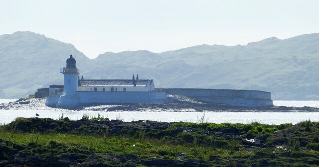
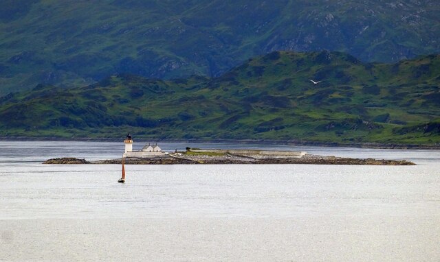
![Fladda Lighthouse, from the Sound of Luing A lighthouse on one of the smaller Slate Islands in the Sound of Luing, built in 1860 by the Stevenson brothers <span class="nowrap"><a title="https://en.wikipedia.org/wiki/Fladda,_Slate_Islands" rel="nofollow ugc noopener" href="https://en.wikipedia.org/wiki/Fladda,_Slate_Islands">Link</a><img style="margin-left:2px;" alt="External link" title="External link - shift click to open in new window" src="https://s1.geograph.org.uk/img/external.png" width="10" height="10"/></span>. The land to the left is another Slate Island, Belnahua. The cliffs [ca 250 m] to the right are about 13 km away at An Garradh, the southern edge of Laggan Deer Forest on Mull.](https://s0.geograph.org.uk/geophotos/06/93/18/6931864_8b7caa9d.jpg)
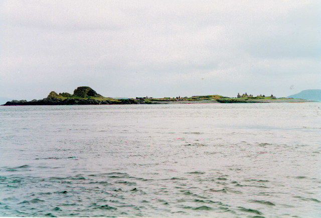
Fraoch Eilean is a picturesque island located off the west coast of Scotland in Argyllshire. With an area of approximately 40 acres, it is a relatively small island, but it is rich in natural beauty and historical significance.
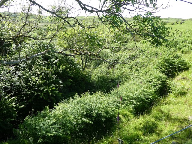
The island is known for its stunning landscapes, featuring rocky cliffs that drop down to the azure waters of the Atlantic Ocean. Lush green fields and hills cover the majority of Fraoch Eilean, creating a serene and tranquil atmosphere. The island is a haven for wildlife enthusiasts, as it is home to a variety of bird species, including puffins, guillemots, and razorbills.
In terms of history, Fraoch Eilean is believed to have been inhabited since ancient times. Ruins of a prehistoric fort can still be seen on the island, providing a glimpse into its early settlement. During medieval times, the island had a small community, which was likely involved in fishing and agriculture.
Today, Fraoch Eilean remains uninhabited, serving as a popular destination for day trips and exploration. Visitors can take a boat trip to the island and spend a day exploring its rugged landscapes, hiking its trails, and enjoying the breathtaking views. Due to its conservation status, camping and fires are not permitted on the island, ensuring its natural beauty is preserved for generations to come.
Overall, Fraoch Eilean is a hidden gem in Argyllshire, offering visitors a chance to immerse themselves in nature and experience the rich history of this small but captivating island.
If you have any feedback on the listing, please let us know in the comments section below.
Fraoch Eilean Images
Images are sourced within 2km of 56.245072/-5.6556599 or Grid Reference NM7311. Thanks to Geograph Open Source API. All images are credited.
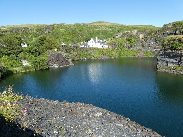
![Luing - Cullipool - Flooded quarry view southwards The flooded quarry to the south of the main part of the village of Cullipool on Luing is roughly L-shaped (though upside down and mirrored)
This view is southwards along the longer arm of the L. I think that the white house in the distance must be a newly built property [2022] as it appears neither on the large scale maps nor on aerial images.](https://s3.geograph.org.uk/geophotos/07/25/96/7259687_523f40bc.jpg)
Fraoch Eilean is located at Grid Ref: NM7311 (Lat: 56.245072, Lng: -5.6556599)
Unitary Authority: Argyll and Bute
Police Authority: Argyll and West Dunbartonshire
What 3 Words
///collision.refusals.mutual. Near Lochbuie, Argyll & Bute
Nearby Locations
Related Wikis

Slate Islands
The Slate Islands are an island group in the Inner Hebrides, lying immediately off the west coast of Scotland, north of Jura and southwest of Oban. The...

Fladda, Slate Islands
Fladda is one of the Slate Islands, off the west coast of Argyll and Bute, Scotland. Fladda is an islet in the Sound of Luing, between Luing and Belnahua...

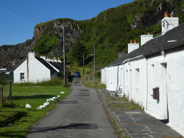
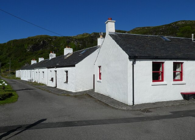
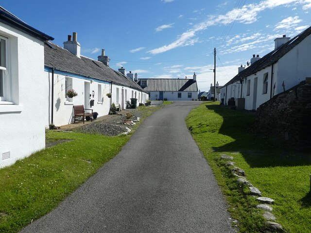
Luing
Luing ( LING; Scottish Gaelic: Luinn) is one of the Slate Islands, Firth of Lorn, in the west of Argyll in Scotland, about 16 miles (26 km) south of Oban...
Belnahua
Belnahua is one of the Slate Islands, in the Firth of Lorn in Scotland, known for its deserted slate quarries. The bedrock that underpins its human history...
Nearby Amenities
Located within 500m of 56.245072,-5.6556599Have you been to Fraoch Eilean?
Leave your review of Fraoch Eilean below (or comments, questions and feedback).