Diar Sgeir
Island in Argyllshire
Scotland
Diar Sgeir
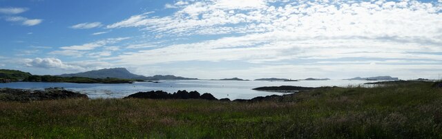
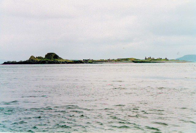
Diar Sgeir is a small uninhabited island located off the coast of Argyllshire, Scotland. It is situated in the Inner Hebrides, specifically in the Sound of Jura, between the islands of Jura and Scarba.
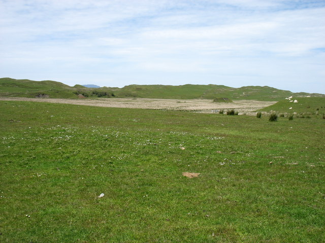
The island is rocky and rugged, with steep cliffs rising from the sea. It has a total area of approximately 0.1 square kilometers and is composed mainly of basalt and granite. Diar Sgeir is known for its unique geological formations, including natural arches and sea caves, which have been shaped by the relentless pounding of the waves over centuries.
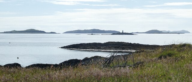
Due to its remote and challenging location, Diar Sgeir is rarely visited by humans. However, it is a popular spot for seabirds, including guillemots, razorbills, and puffins, who use the cliffs as nesting sites during the breeding season. The surrounding waters are teeming with marine life, making it an ideal location for diving and snorkeling enthusiasts.
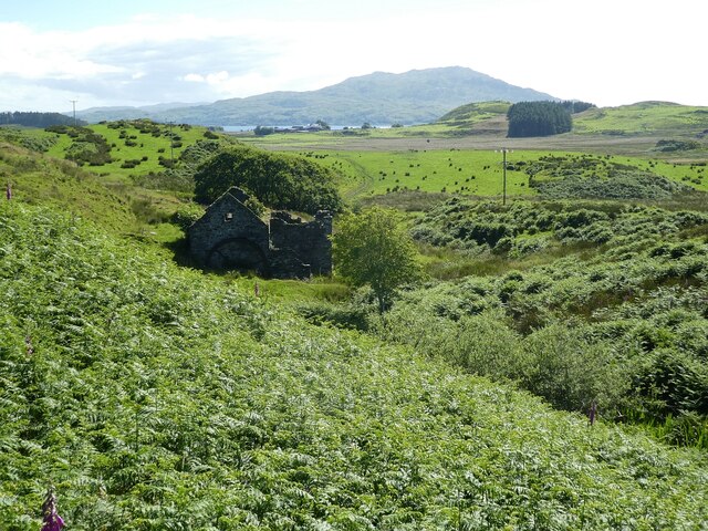
The island's isolation and wild beauty also make it a popular destination for wildlife enthusiasts and photographers. Visitors can take boat trips to the area to appreciate the stunning coastal scenery and observe the diverse wildlife in their natural habitat.
Overall, Diar Sgeir is a remarkable and unspoiled island, offering a glimpse into the untamed beauty of the Scottish coastline. Its rugged cliffs, abundant birdlife, and rich marine ecosystem make it a must-visit location for nature lovers seeking a truly remote and wild experience.
If you have any feedback on the listing, please let us know in the comments section below.
Diar Sgeir Images
Images are sourced within 2km of 56.242499/-5.6645214 or Grid Reference NM7311. Thanks to Geograph Open Source API. All images are credited.
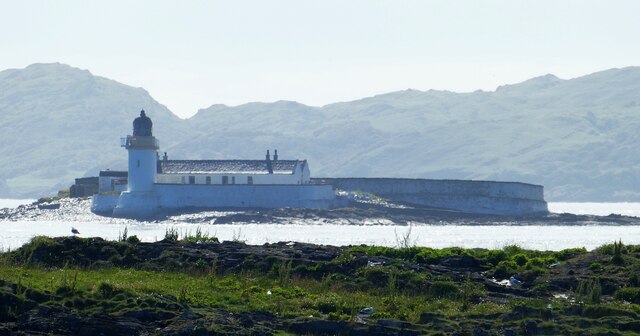
![Fladda Lighthouse, from the Sound of Luing A lighthouse on one of the smaller Slate Islands in the Sound of Luing, built in 1860 by the Stevenson brothers <span class="nowrap"><a title="https://en.wikipedia.org/wiki/Fladda,_Slate_Islands" rel="nofollow ugc noopener" href="https://en.wikipedia.org/wiki/Fladda,_Slate_Islands">Link</a><img style="margin-left:2px;" alt="External link" title="External link - shift click to open in new window" src="https://s1.geograph.org.uk/img/external.png" width="10" height="10"/></span>. The land to the left is another Slate Island, Belnahua. The cliffs [ca 250 m] to the right are about 13 km away at An Garradh, the southern edge of Laggan Deer Forest on Mull.](https://s0.geograph.org.uk/geophotos/06/93/18/6931864_8b7caa9d.jpg)
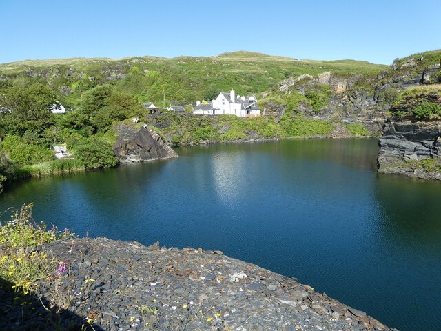
![Luing - Cullipool - Flooded quarry view southwards The flooded quarry to the south of the main part of the village of Cullipool on Luing is roughly L-shaped (though upside down and mirrored)
This view is southwards along the longer arm of the L. I think that the white house in the distance must be a newly built property [2022] as it appears neither on the large scale maps nor on aerial images.](https://s3.geograph.org.uk/geophotos/07/25/96/7259687_523f40bc.jpg)
Diar Sgeir is located at Grid Ref: NM7311 (Lat: 56.242499, Lng: -5.6645214)
Unitary Authority: Argyll and Bute
Police Authority: Argyll and West Dunbartonshire
What 3 Words
///lends.disposal.rebel. Near Lochbuie, Argyll & Bute
Nearby Locations
Related Wikis

Fladda, Slate Islands
Fladda is one of the Slate Islands, off the west coast of Argyll and Bute, Scotland. Fladda is an islet in the Sound of Luing, between Luing and Belnahua...

Slate Islands
The Slate Islands are an island group in the Inner Hebrides, lying immediately off the west coast of Scotland, north of Jura and southwest of Oban. The...
Belnahua
Belnahua is one of the Slate Islands, in the Firth of Lorn in Scotland, known for its deserted slate quarries. The bedrock that underpins its human history...

Luing
Luing ( LING; Scottish Gaelic: Luinn) is one of the Slate Islands, Firth of Lorn, in the west of Argyll in Scotland, about 16 miles (26 km) south of Oban...
Nearby Amenities
Located within 500m of 56.242499,-5.6645214Have you been to Diar Sgeir?
Leave your review of Diar Sgeir below (or comments, questions and feedback).