Eilean Giubhais

Island in Inverness-shire

Scotland

Eilean Giubhais

North Morar, seen from the Armadale ferry Sgurr an Eilein Ghiubhais falls steeply to the sea with Sgurr Eireagoraidh to its right.
North Morar, seen from the Armadale ferry Credit: Alan Murray-Rust

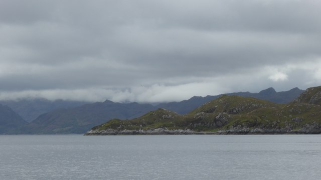
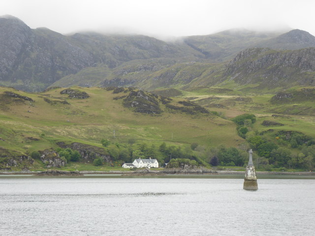
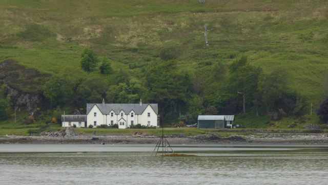
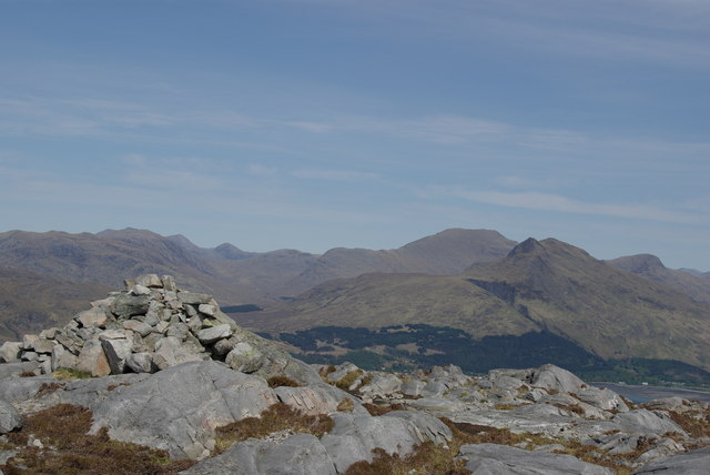
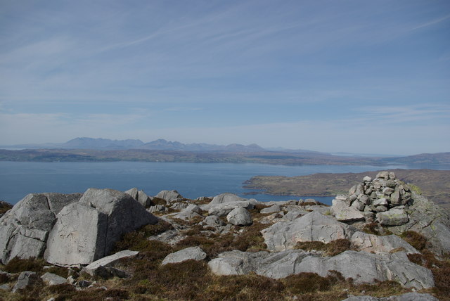
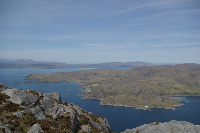
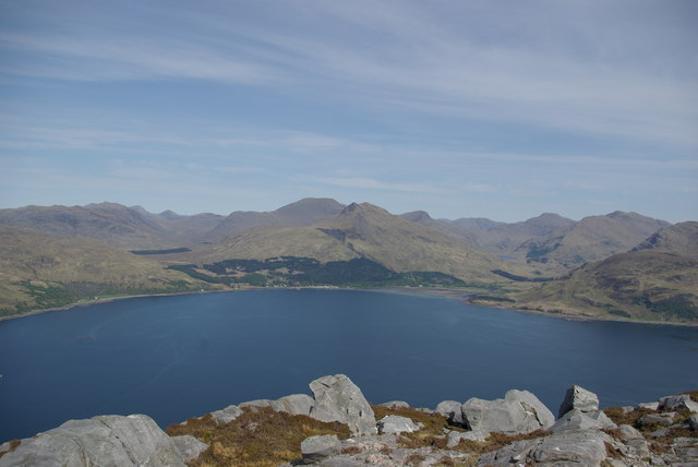
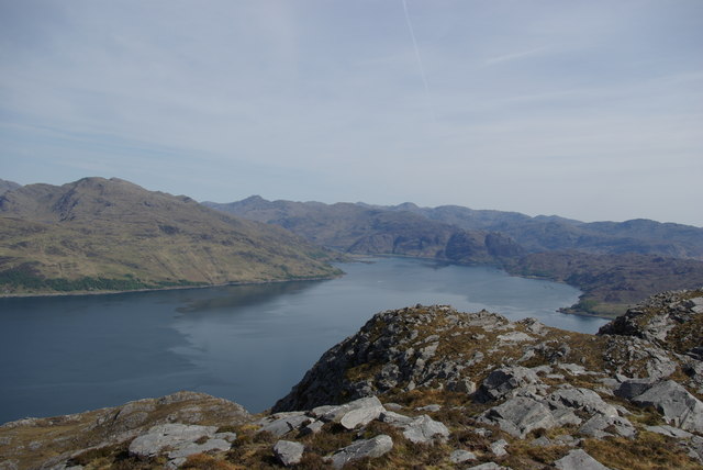
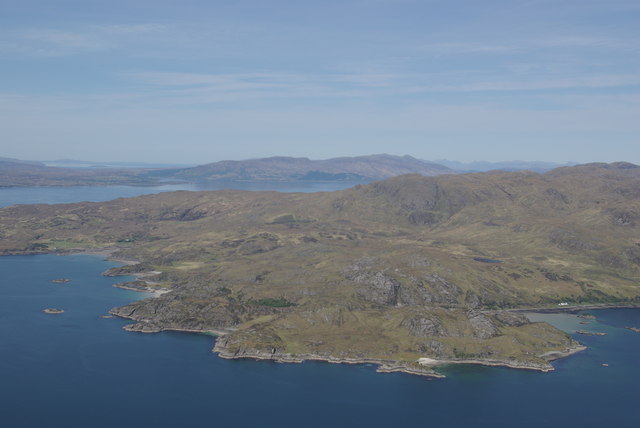
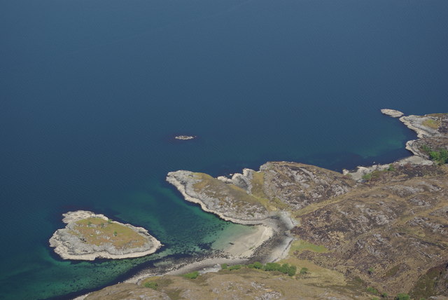
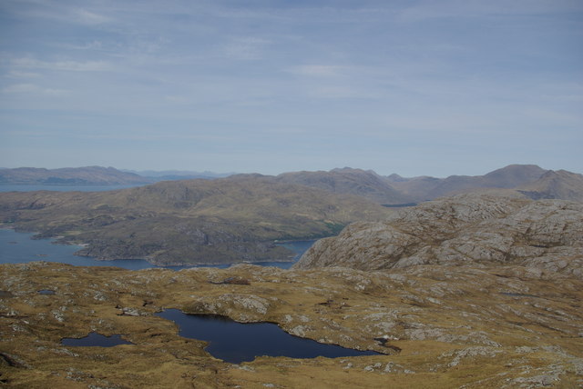
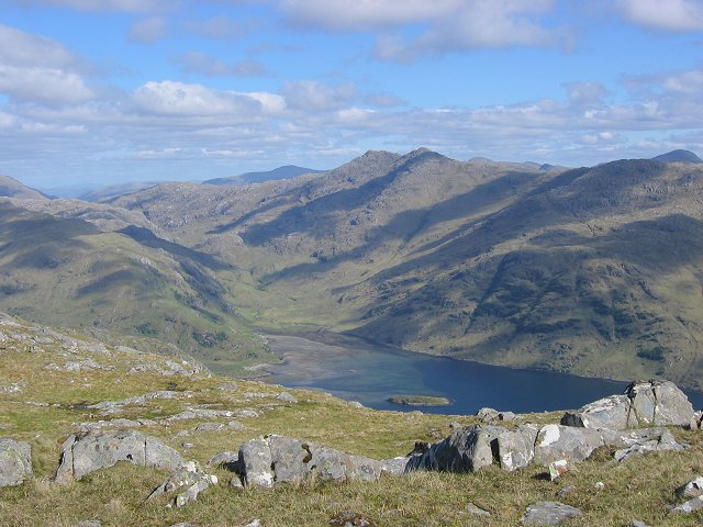
Eilean Giubhais, also known as the Island of the Evergreens, is a picturesque island located in Inverness-shire, Scotland. Situated in the expansive Loch Linnhe, this island offers a serene and tranquil environment for visitors.

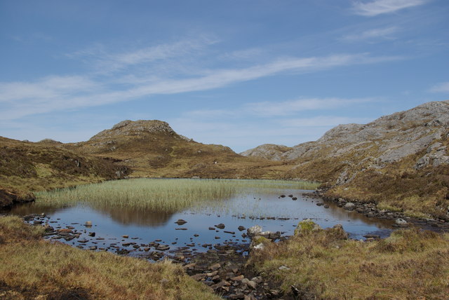
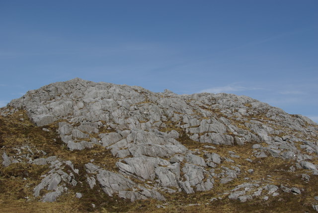
Covered in lush evergreen trees, Eilean Giubhais is a haven for nature lovers and outdoor enthusiasts. The island is about 2.5 acres in size and can be accessed by boat or kayak from nearby shores. The calm waters surrounding the island make it an ideal spot for fishing and boating activities.

The island's landscape is adorned with vibrant flora, including a variety of ferns, mosses, and wildflowers. This rich biodiversity attracts a wide range of bird species, making it a popular destination for birdwatchers. Visitors can spot common birds such as red-breasted mergansers, herons, and oystercatchers, among others.

Eilean Giubhais is also home to a diverse marine life, making it a popular spot for snorkeling and diving. The clear waters offer excellent visibility, allowing visitors to explore the underwater world teeming with marine species, including colorful fish, crabs, and even seals.

For those seeking a peaceful retreat, the island provides several camping spots where visitors can set up tents and enjoy the serenity of nature. There are no facilities on the island, so visitors must bring their own supplies and be mindful of preserving the pristine environment.

With its breathtaking natural beauty and abundant wildlife, Eilean Giubhais is a hidden gem in Inverness-shire, offering a unique and unforgettable experience for all who visit.

If you have any feedback on the listing, please let us know in the comments section below.

Eilean Giubhais Images

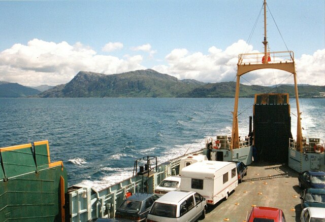
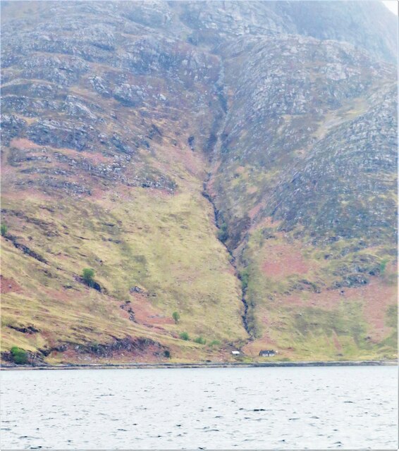
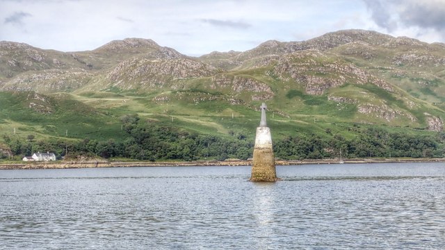
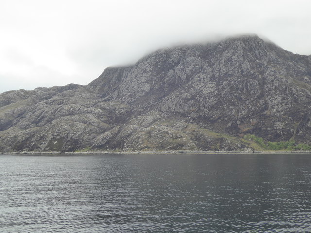
Images are sourced within 2km of 57.017976/-5.7406981 or Grid Reference NM7398. Thanks to Geograph Open Source API. All images are credited.

North Morar, seen from the Armadale ferry Sgurr an Eilein Ghiubhais falls steeply to the sea with Sgurr Eireagoraidh to its right.
North Morar, seen from the Armadale ferry
Sgurr an Eilein Ghiubhais falls steeply to the sea with Sgurr Eireagoraidh to its right.
Shoreline at Earnsaig There's two buildings which are roofed in this shot, seen either side of the burn which cascades down the steep and rocky hillside. One to the left appears to be some sort of shed, whilst to the right is a cottage. The 1873 map shows a total of 3 roofed structures here, but no sign of any paths in or out.  Taken from the Tarbet ferry, but distance from the shoreline is guesswork.
Shoreline at Earnsaig
There's two buildings which are roofed in this shot, seen either side of the burn which cascades down the steep and rocky hillside. One to the left appears to be some sort of shed, whilst to the right is a cottage. The 1873 map shows a total of 3 roofed structures here, but no sign of any paths in or out. Taken from the Tarbet ferry, but distance from the shoreline is guesswork.
Bogha Don
Bogha Don
Rocky point below Sgùrr an Eilein Ghiubhais
Rocky coastline, Loch Nevis
Bogha Don beacon
Bogha Don beacon
Marker on Sgeirean Glasa
Rock-plated knoll and slopes below summit of Sgùrr Eireagoraidh Sgùrr Eireagoraidh lies to the east of Mallaig above the entry to Loch Nevis. The slopes are on its upper east side and in the image they conceal Loch Nevis.
Beyond is Knoydart with Meall Buidhe and Luinne Bheinn both well snowed.
Rock-plated knoll and slopes below summit of Sgùrr Eireagoraidh
Sgùrr Eireagoraidh lies to the east of Mallaig above the entry to Loch Nevis. The slopes are on its upper east side and in the image they conceal Loch Nevis. Beyond is Knoydart with Meall Buidhe and Luinne Bheinn both well snowed.
Am Fuaran Lochan between Sgurr Eireagoraidh & Sgurr an Eilein Ghiubhais
Am Fuaran
Lochan between Sgurr Eireagoraidh & Sgurr an Eilein Ghiubhais
Rock outcrops on southern slopes of Sgurr an Eilein Ghiubhais
Summit cairn on Sgurr an Eilein Ghiubhais View towards Knoydart
Summit cairn on Sgurr an Eilein Ghiubhais
View towards Knoydart
Summit cairn on Sgurr an Eilein Ghiubhais View towards the Isle of Skye
Summit cairn on Sgurr an Eilein Ghiubhais
View towards the Isle of Skye
View from Sgurr an Eilein Ghiubhais Looking across Loch Nevis towards Knoydart & the Isle of Skye
View from Sgurr an Eilein Ghiubhais
Looking across Loch Nevis towards Knoydart & the Isle of Skye
View from Sgurr an Eilein Ghiubhais Looking across Loch Nevis towards Inverie & Knoydart
View from Sgurr an Eilein Ghiubhais
Looking across Loch Nevis towards Inverie & Knoydart
View from Sgurr an Eilein Ghiubhais Looking out across Loch Nevis
View from Sgurr an Eilein Ghiubhais
Looking out across Loch Nevis
Rubha Raonuill Viewed from the summit of Sgurr an Eilein Ghiubhais <a href="https://www.geograph.org.uk/gridref/NM7297">NM7297</a>
Rubha Raonuill
Viewed from the summit of Sgurr an Eilein Ghiubhais NM7297
Eilean Giubhais Viewed from NM727974 just below the summit of Sgurr an Eilein Ghiubhais
Eilean Giubhais
Viewed from NM727974 just below the summit of Sgurr an Eilein Ghiubhais
View from Sgurr Eireagoraidh Looking towards Knoydart & Ladhar Bheinn <a href="https://www.geograph.org.uk/gridref/NG8203">NG8203</a> top right
View from Sgurr Eireagoraidh
Looking towards Knoydart & Ladhar Bheinn NG8203 top right
Show me another place!

Eilean Giubhais is located at Grid Ref: NM7398 (Lat: 57.017976, Lng: -5.7406981)

Unitary Authority: Highland

Police Authority: Highlands and Islands

What 3 Words

///quench.harvest.thatched. Near Armadale, Highland

Nearby Locations

Eilean Giubhais

Related Wikis

Sandaig Bay

Sandaig Bay is a coastal embayment, on a chord of 2.04 kilometres (1 mile 471 yards), on a 194° orientation, located on the northwestern end of the sea...

Loch Nevis

Loch Nevis (Scottish Gaelic: Loch Nibheis) is a sea loch in Lochaber on the west coast of Scotland. It runs inland from the Sound of Sleat, and is bounded...

Inverie Bay

Inverie Bay is a coastal embayment, on a chord of 2.12 miles, on a 207° orientation, on the northwestern coast of the sea loch in Loch Nevis, and is next...

Inverie

Inverie (; Scottish Gaelic: Inbhir Aoidh) is the main village on the Knoydart peninsula in the Scottish Highlands. It is located on the north side of Loch...

Have you been to Eilean Giubhais?

Leave your review of Eilean Giubhais below (or comments, questions and feedback).