Firth of Lorn

Sea, Estuary, Creek in Argyllshire

Scotland

Firth of Lorn

Rèisa Mhic Phaidean and Scarba Seen from the old Craignish pier. Rèisa Mhic Phaidean is completely dwarfed by Scarba.
Rèisa Mhic Phaidean and Scarba Credit: Jonathan Thacker

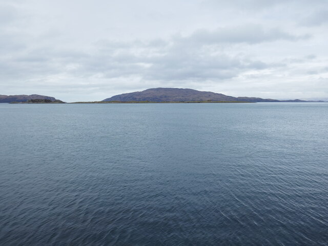
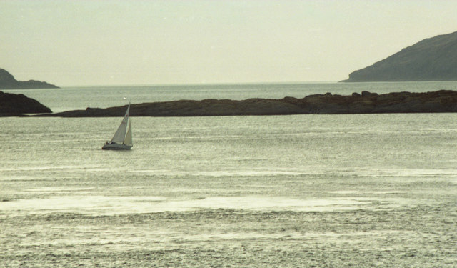
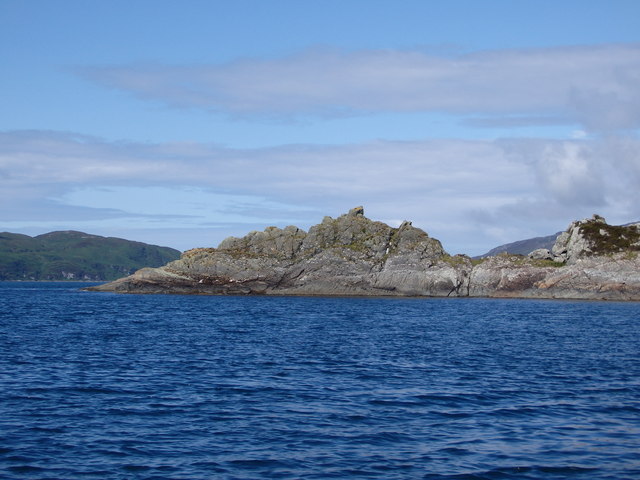
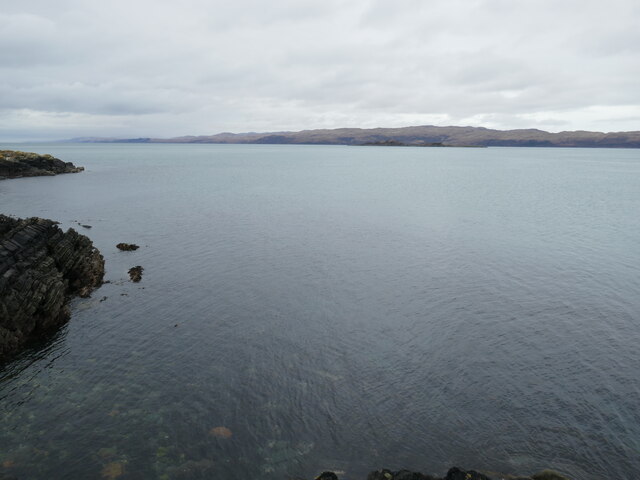
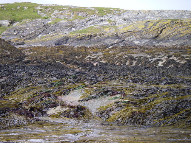
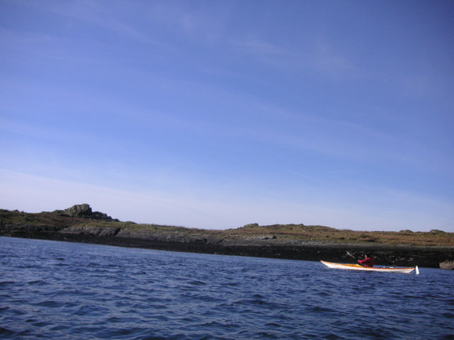
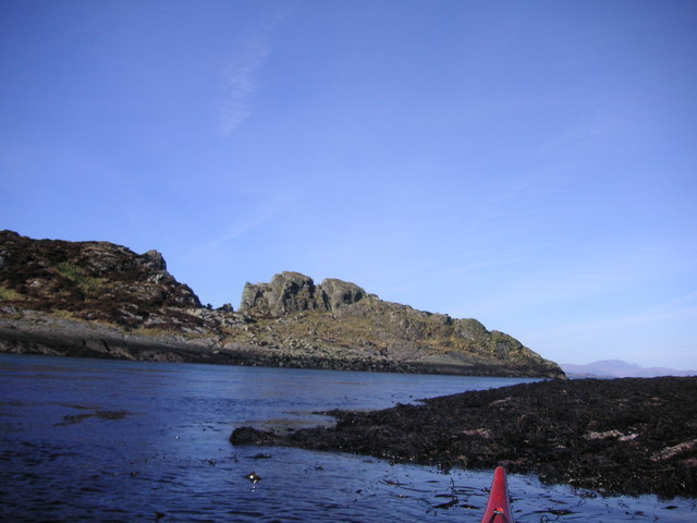
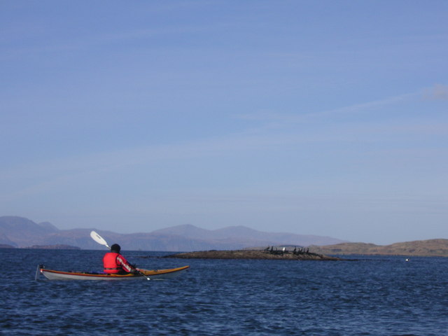
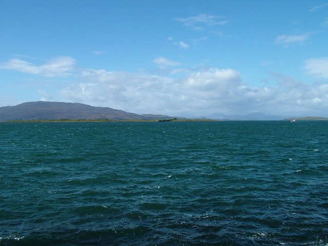
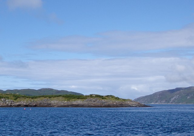
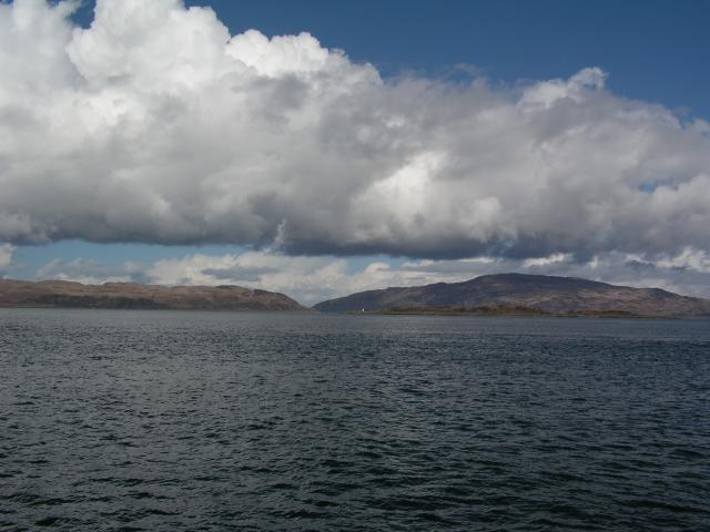
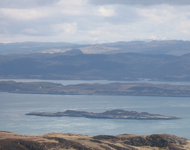
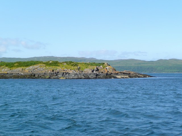
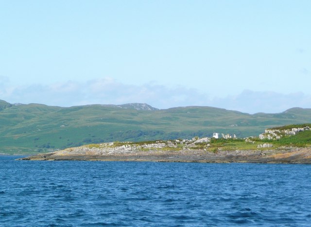
The Firth of Lorn is a picturesque body of water located on the west coast of Scotland in the region of Argyllshire. It is classified as a sea loch, which is a type of estuary that is partially enclosed by land. The firth stretches from the Sound of Mull in the north to the island of Scarba in the south, and is surrounded by stunning landscapes and rugged coastlines.

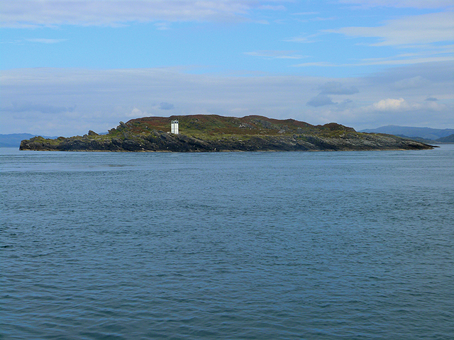
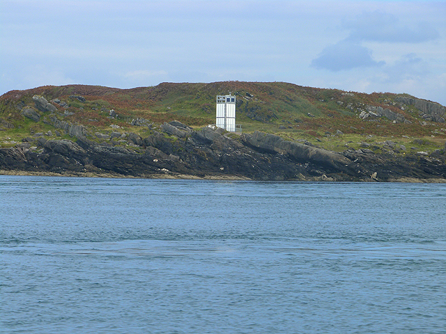
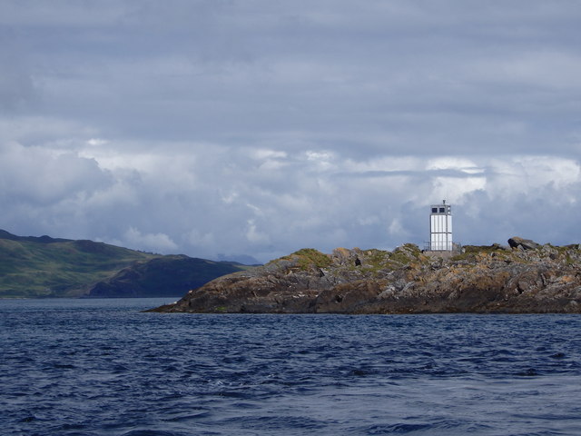
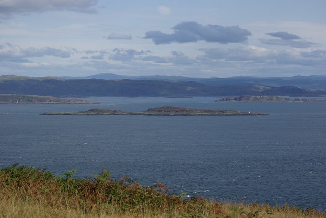
The Firth of Lorn is known for its strong tidal currents, which can reach up to eight knots in certain areas. These currents, combined with the narrow entrances to the firth, create challenging navigation conditions and have made the area historically treacherous for ships. As a result, the firth is dotted with several lighthouses and beacons to guide vessels safely through its waters.

The firth is also home to a diverse range of marine life, including seals, dolphins, and a variety of seabirds. The nutrient-rich waters support a thriving ecosystem, making it a popular destination for wildlife enthusiasts and divers alike.

In addition to its natural beauty and abundant wildlife, the Firth of Lorn is also of historical and cultural significance. The area is scattered with ancient ruins and archaeological sites, providing insight into the region's rich history. The nearby town of Oban, known as the "Gateway to the Isles," is a popular base for exploring the firth and its surrounding attractions.

Overall, the Firth of Lorn is a captivating and dynamic body of water, offering visitors a unique blend of natural beauty, wildlife, and historical intrigue.

If you have any feedback on the listing, please let us know in the comments section below.

Firth of Lorn Images

Images are sourced within 2km of 56.138101/-5.6447319 or Grid Reference NR7399. Thanks to Geograph Open Source API. All images are credited.

Rèisa Mhic Phaidean and Scarba Seen from the old Craignish pier. Rèisa Mhic Phaidean is completely dwarfed by Scarba.
Rèisa Mhic Phaidean and Scarba
Seen from the old Craignish pier. Rèisa Mhic Phaidean is completely dwarfed by Scarba.
Reisa Mhic Phaidean and boat Telephoto shot so Corryvrekan looks nearer than it is.
Reisa Mhic Phaidean and boat
Telephoto shot so Corryvrekan looks nearer than it is.
Tip of Coiresa Looking out towards Jura on the left and just visible behind and to the right Scarba.
Tip of Coiresa
Looking out towards Jura on the left and just visible behind and to the right Scarba.
View towards Jura from close to Port nan Athlaich
North End of Reisa Mhic Phaidean Otter in kelp at North end of Reisa Mhic Phaidean
North End of Reisa Mhic Phaidean
Otter in kelp at North end of Reisa Mhic Phaidean
South East Corner Of Reisa Mhic Phaidean
Coiresa In front of the kayak is south point of Reisa Mhic Phaidean.
Coiresa
In front of the kayak is south point of Reisa Mhic Phaidean.
Dearg Sgeir Looking North through the Sound of Luing, Mull in the Distance
Dearg Sgeir
Looking North through the Sound of Luing, Mull in the Distance
Reisa Mhic Phaidean
Reisa Mhic Phaidean
Rèisa an t-Struith Small island with navigation light in the mouth of Loch Craignish.
Rèisa an t-Struith
Small island with navigation light in the mouth of Loch Craignish.
Navigation light on Rèisa an t-Struith Small island in the mouth of Loch Craignish.
Navigation light on Rèisa an t-Struith
Small island in the mouth of Loch Craignish.
Rèisa an t-Struith Looking across towards the Gulf of Corryvreckan with Jura visible to the left and Scarba on the right.
Rèisa an t-Struith
Looking across towards the Gulf of Corryvreckan with Jura visible to the left and Scarba on the right.
Rèisa an t-Struith Rèisa an t-Struith with the lighthouse on the headland and Jura visible to the left in the background.
Rèisa an t-Struith
Rèisa an t-Struith with the lighthouse on the headland and Jura visible to the left in the background.
Reisa an t-Sruith
Reisa an t-Sruith
Reisa an t-Sruith from Jura The little outcrop of rock called Reisa an t-Sruith as seen from Jura. The Scottish mainland can be seen in the distance.
Reisa an t-Sruith from Jura
The little outcrop of rock called Reisa an t-Sruith as seen from Jura. The Scottish mainland can be seen in the distance.
Rèisa an t-Sruith Island in the middle of a tide race. Looks as if it is moving as the sea floods southwards.
Rèisa an t-Sruith
Island in the middle of a tide race. Looks as if it is moving as the sea floods southwards.
The northern tip of Reisa an t-Sruith The name translates as 'The tidal race island in the current'.  This is an small and fairly insignificant island, but take care when the tide is in full flood!
The northern tip of Reisa an t-Sruith
The name translates as 'The tidal race island in the current'. This is an small and fairly insignificant island, but take care when the tide is in full flood!
The southern tip of Reisa an t-'Sruith The light on the west side can just be seen.  The name translates as 'The tidal race island in the current'. This is a small and fairly insignificant island, but take care when the tide is in full flood!  The land in the background is the northern end of Jura, just before the Corryvreckan whirlpool.
The southern tip of Reisa an t-'Sruith
The light on the west side can just be seen. The name translates as 'The tidal race island in the current'. This is a small and fairly insignificant island, but take care when the tide is in full flood! The land in the background is the northern end of Jura, just before the Corryvreckan whirlpool.
Show me another place!

Firth of Lorn is located at Grid Ref: NR7399 (Lat: 56.138101, Lng: -5.6447319)

Unitary Authority: Argyll and Bute

Police Authority: Argyll and West Dunbartonshire

What 3 Words

///reader.smothered.equality. Near Lochgilphead, Argyll & Bute

Related Wikis

Kinuachdrachd

Kinuachdrachd or Kinuachdrach is a place about 22 miles from Craighouse on the island of Jura, in the council area of Argyll and Bute, Scotland. It comprises...

Craignish Castle

Craignish Castle is located on the Craignish peninsula in Argyll, western Scotland and is a category B listed building. The present castle includes a 16th...

Gulf of Corryvreckan

The Gulf of Corryvreckan (from the Gaelic Coire Bhreacain, meaning 'cauldron of the speckled seas' or 'cauldron of the plaid'), also called the Strait...

Barnhill, Jura

Barnhill is a farmhouse in the north of the island of Jura in the Scottish Inner Hebrides overlooking the Sound of Jura. It stands on the site of a larger...

Have you been to Firth of Lorn?

Leave your review of Firth of Lorn below (or comments, questions and feedback).