Battenton Green
Settlement in Worcestershire Wychavon
England
Battenton Green
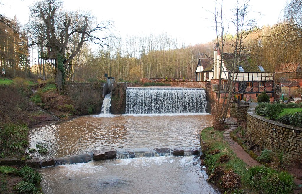
Battenton Green is a picturesque village located in the county of Worcestershire, England. Situated approximately 4 miles southeast of the city of Worcester, it boasts a tranquil and rural setting amidst the stunning Worcestershire countryside.
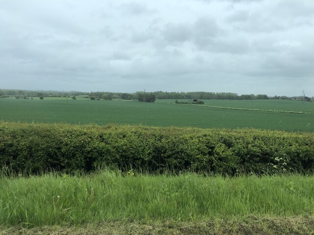
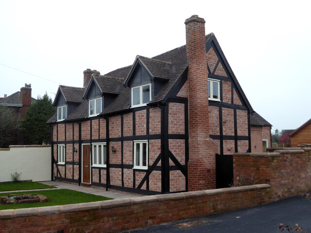
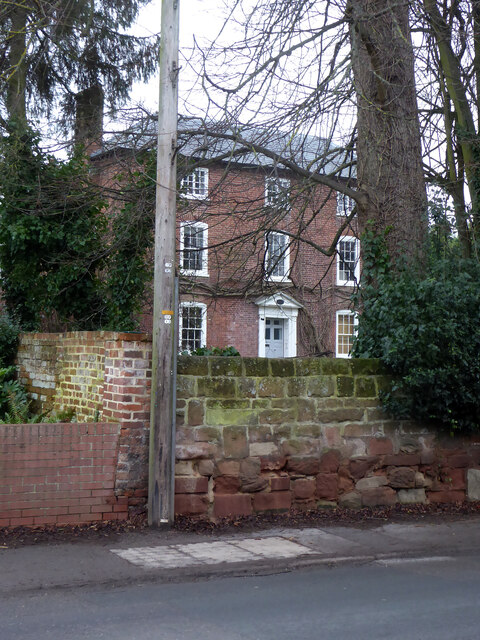
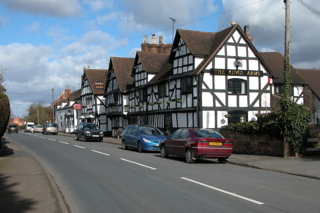
The village is characterized by its charming and traditional architecture, with many houses dating back several centuries. The idyllic scenery surrounding Battenton Green includes rolling hills, lush green fields, and meandering streams, making it a haven for nature lovers and outdoor enthusiasts.
Despite its peaceful atmosphere, Battenton Green is conveniently located near major transportation routes. The A44 road runs through the village, providing easy access to nearby towns and cities. Worcester Foregate Street railway station is also just a short drive away, offering regular train services to destinations across the country.
Within the village, there is a close-knit community that prides itself on a strong sense of community spirit. The local parish church, St. Mary's, is a focal point for residents and visitors alike, with its beautiful architecture and regular services.
Battenton Green is also home to a range of amenities, including a village hall, a primary school, and a few local shops and businesses. The village's close proximity to Worcester means that residents have access to a wider range of amenities, including supermarkets, leisure facilities, and a variety of dining options.
Overall, Battenton Green offers a delightful blend of rural living and convenience, making it an appealing place to reside for those seeking a peaceful countryside lifestyle within reach of urban amenities.
If you have any feedback on the listing, please let us know in the comments section below.
Battenton Green Images
Images are sourced within 2km of 52.282875/-2.2506187 or Grid Reference SO8365. Thanks to Geograph Open Source API. All images are credited.


Battenton Green is located at Grid Ref: SO8365 (Lat: 52.282875, Lng: -2.2506187)
Administrative County: Worcestershire
District: Wychavon
Police Authority: West Mercia
What 3 Words
///peroxide.chats.result. Near Hartlebury, Worcestershire
Nearby Locations
Related Wikis

Ombersley and Doverdale
Ombersley and Doverdale is an area in Wychavon district, Worcestershire, England served by a single parish council but comprising the two separate civil...

Holt Fleet Bridge
Holt Fleet Bridge, also known as Holt Bridge, is a cast-iron arch bridge over the River Severn, at Holt in Worcestershire, England. It has a span of 150...
Ombersley
Ombersley is a village and civil parish in Wychavon district, in the county of Worcestershire, England. The parish includes the hamlet of Holt Fleet,...

Dunhampton
Dunhampton is a village in Worcestershire, England.

Shrawley
Shrawley is a village and civil parish in the Malvern Hills District in the county of Worcestershire, England. The village is situated on the western bank...

Holt, Worcestershire
Holt is a village and civil parish in the Malvern Hills District of the county of Worcestershire, England. The church is dedicated to St. Martin, and dates...
Dick Brook
Dick Brook is small tributary stream of the River Severn that flows through Worcestershire, England.The brook is formed from two small unnamed streams...

Holt Heath, Worcestershire
Holt Heath, in the parish of Holt, is a village near the west bank of the River Severn in Worcestershire. The nearest towns are all about 6 miles away...
Nearby Amenities
Located within 500m of 52.282875,-2.2506187Have you been to Battenton Green?
Leave your review of Battenton Green below (or comments, questions and feedback).