Batten's Green

Settlement in Somerset Somerset West and Taunton

England

Batten's Green

Old A358 at Capland Traffic beginning the Hatch Beauchamp bypass on the A358 passes tarmac still bearing white lines where the former main road rounded a bend at Capland.
Old A358 at Capland Credit: Derek Harper

Batten's Green is a small village located in the county of Somerset, in the southwestern part of England. It is situated approximately 6 miles south of the town of Wells and 20 miles southwest of the city of Bath. With a population of around 300 residents, Batten's Green is known for its peaceful and rural atmosphere.

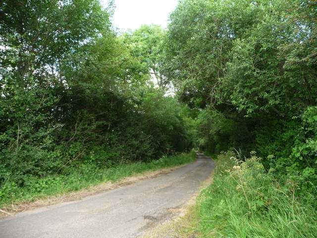
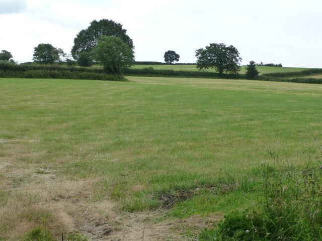
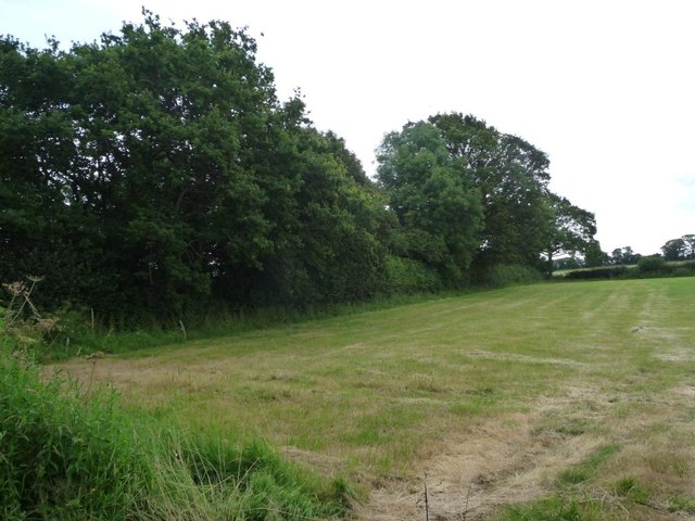
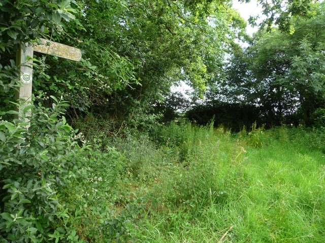
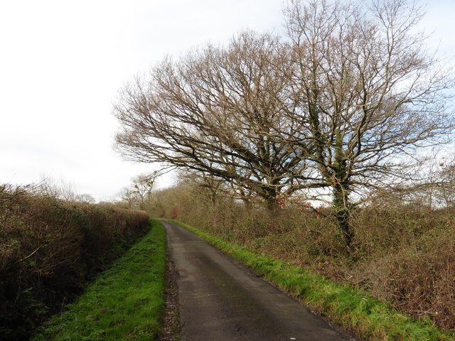
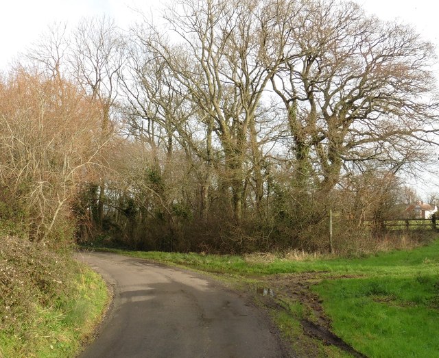
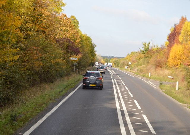
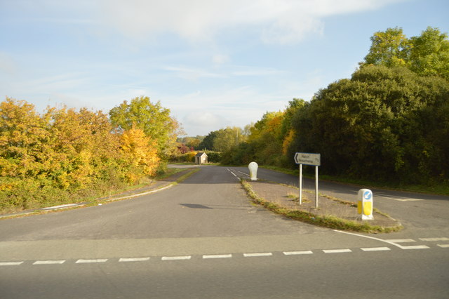
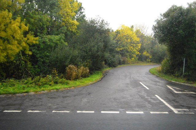
The village is surrounded by picturesque countryside, with rolling hills and meadows, making it an ideal location for nature enthusiasts and hikers. The landscape is dotted with charming stone cottages and traditional farmhouses, adding to the village's quaint and idyllic charm.

Although small in size, Batten's Green boasts a strong sense of community. The village has a local pub, The Green Inn, which serves as a social hub for residents and visitors alike. The pub offers a variety of traditional English dishes and a selection of locally brewed ales.

In terms of amenities, Batten's Green is well-served by the nearby town of Wells, which provides access to essential services such as shops, schools, and healthcare facilities. The city of Bath is within easy reach, offering a wider range of amenities and cultural attractions.

Overall, Batten's Green is a charming village that offers a peaceful and rural lifestyle in the heart of the Somerset countryside. Its idyllic surroundings, sense of community, and proximity to larger towns make it an attractive place to live or visit for those seeking a tranquil and picturesque setting.

If you have any feedback on the listing, please let us know in the comments section below.

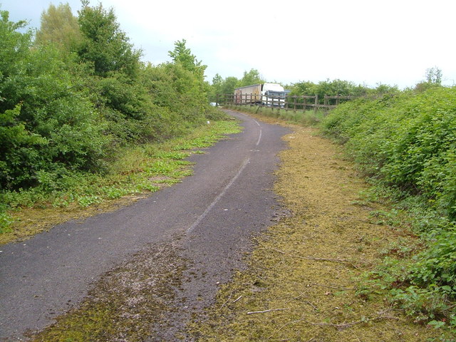
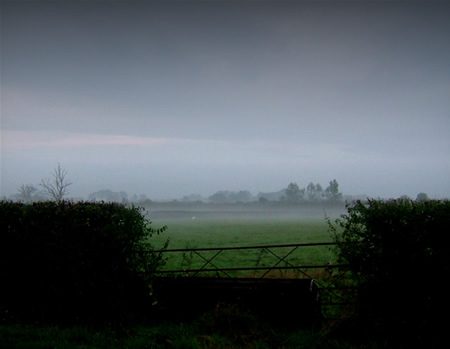
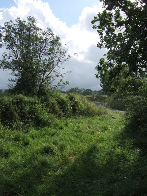
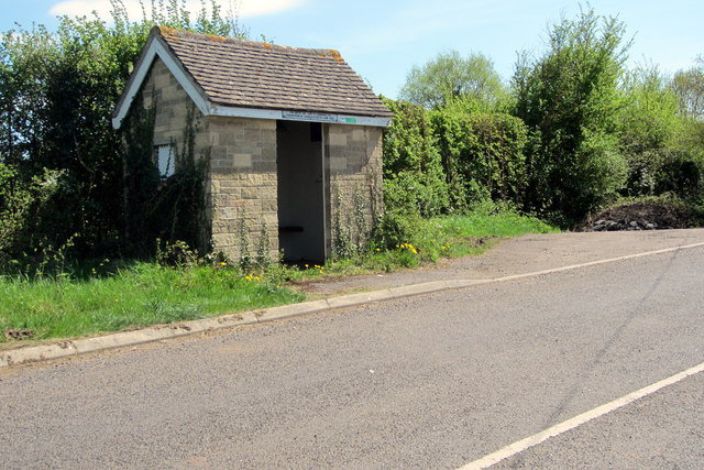
Batten's Green Images

Images are sourced within 2km of 50.957036/-3.0122548 or Grid Reference ST2918. Thanks to Geograph Open Source API. All images are credited.

Old A358 at Capland Traffic beginning the Hatch Beauchamp bypass on the A358 passes tarmac still bearing white lines where the former main road rounded a bend at Capland.
Old A358 at Capland
Traffic beginning the Hatch Beauchamp bypass on the A358 passes tarmac still bearing white lines where the former main road rounded a bend at Capland.
Early Morning Haze Early morning mist settled over the fields around Hatch Beauchamp
Early Morning Haze
Early morning mist settled over the fields around Hatch Beauchamp
Folly Farm A brief burst of sunlight illuminates the farm and adjacent bungalow, seen from a bend on Barrington Hill Road aka Folly Drove.
Folly Farm
A brief burst of sunlight illuminates the farm and adjacent bungalow, seen from a bend on Barrington Hill Road aka Folly Drove.
In between the rain Taken a yard or two from the point at which <a href="https://www.geograph.org.uk/photo/474151">ST3017 : Folly Farm</a> was taken, and in the same brief burst of sunshine. Footpath CH1/16 arrives at the bend in Folly Drove.
In between the rain
Taken a yard or two from the point at which ST3017 : Folly Farm was taken, and in the same brief burst of sunshine. Footpath CH1/16 arrives at the bend in Folly Drove.
South Somerset : Grassy Field A grassy field in South Somerset as seen from the A358.
South Somerset : Grassy Field
A grassy field in South Somerset as seen from the A358.
Coronation bus shelter June 1953
Barrington Hill Road passing a small wood Turning north, to the west of Folly Farm.
Barrington Hill Road passing a small wood
Turning north, to the west of Folly Farm.
Farmland south-west of Folly Farm No arable crops on the lower slopes of Barrington Hill.
Farmland south-west of Folly Farm
No arable crops on the lower slopes of Barrington Hill.
Trees along a little-used farm track The modern preference seems to be to drive across the fields. West of Folly Farm.
Trees along a little-used farm track
The modern preference seems to be to drive across the fields. West of Folly Farm.
Signpost, public footpath to Caige Bush Farm South down the overgrown wooded track, then east along some field boundaries.
Signpost, public footpath to Caige Bush Farm
South down the overgrown wooded track, then east along some field boundaries.
Capland Farm
Capland Farm
Barrington Hill Road
Sharp bend on Barrington Hill Road
Folly Drove turning, A358 The A358 is a 43 mile long road running from Williton in Somerset to Axe Bridge in Devon, via Taunton.
Website: <span class="nowrap"><a title="http://www.sabre-roads.org.uk/wiki/index.php?title=A358" rel="nofollow ugc noopener" href="http://www.sabre-roads.org.uk/wiki/index.php?title=A358">Link</a><img style="margin-left:2px;" alt="External link" title="External link - shift click to open in new window" src="https://s1.geograph.org.uk/img/external.png" width="10" height="10"/></span>
Folly Drove turning, A358
The A358 is a 43 mile long road running from Williton in Somerset to Axe Bridge in Devon, via Taunton. Website: LinkExternal link
Field by the A358
Field by the A358
A358 The A358 is a 43 mile long road running from Williton in Somerset to Axe Bridge in Devon, via Taunton.
Website: <span class="nowrap"><a title="http://www.sabre-roads.org.uk/wiki/index.php?title=A358" rel="nofollow ugc noopener" href="http://www.sabre-roads.org.uk/wiki/index.php?title=A358">Link</a><img style="margin-left:2px;" alt="External link" title="External link - shift click to open in new window" src="https://s1.geograph.org.uk/img/external.png" width="10" height="10"/></span>
A358
The A358 is a 43 mile long road running from Williton in Somerset to Axe Bridge in Devon, via Taunton. Website: LinkExternal link
Road to Hatch Green
Road to Hatch Green
Lane off A358
Lane off A358
Show me another place!

Batten's Green is located at Grid Ref: ST2918 (Lat: 50.957036, Lng: -3.0122548)

Administrative County: Somerset

District: Somerset West and Taunton

Police Authority: Avon and Somerset

What 3 Words

///balancing.clocks.unless. Near Creech St Michael, Somerset

Nearby Locations

Batten's Green

Related Wikis

Bickenhall

Bickenhall is a hamlet and parish in Somerset, England, situated 5 miles (8.0 km) south east of Taunton. The parish, which includes the hamlet of Batten...

Barrington Hill Meadows

Barrington Hill Meadows (grid reference ST300170) is a 16.1 hectare (39.5 acre) biological Site of Special Scientific Interest in Somerset, England, notified...

Curland

Curland is a village and civil parish in Somerset, England, situated 6 miles (9.7 km) south of Taunton. The village has a population of 225. The parish...

All Saints Church, Curland

All Saints Church is a former Church of England parish church in Curland, Somerset, England. Designed by Benjamin Ferrey, it was built in 1855–56 to replace...

William Portman Almshouses

The William Portman Almshouses in Staple Fitzpaine, Somerset, England was built in 1643. It is a Grade II* listed building. == History == The almshouses...

Staple Fitzpaine

Staple Fitzpaine is a village and civil parish in Somerset, England, situated 5 miles (8.0 km) south of Taunton. The village has a population of 189 and...

Castle Neroche

Castle Neroche is a Norman motte-and-bailey castle on the site of an earlier hill fort in the parish of Curland, near Staple Fitzpaine, Somerset, England...

Hatch Beauchamp

Hatch Beauchamp is a village and civil parish in Somerset, England, situated 5 miles (8.0 km) south east of Taunton. The village has a population of 620...

Have you been to Batten's Green?

Leave your review of Batten's Green below (or comments, questions and feedback).