Batsworthy

Settlement in Devon North Devon

England

Batsworthy

Rackenford: towards West Backstone On a public footpath, crossing a field, looking west-north-west
Rackenford: towards West Backstone Credit: Martin Bodman

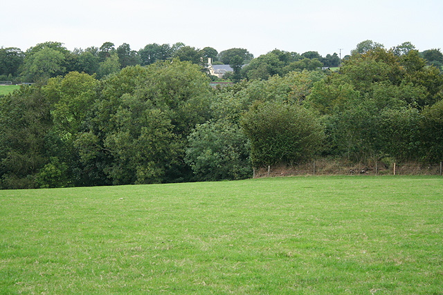
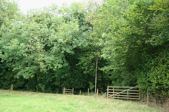
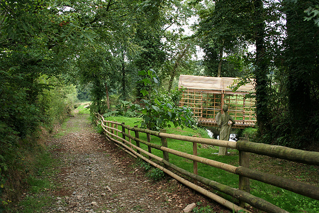
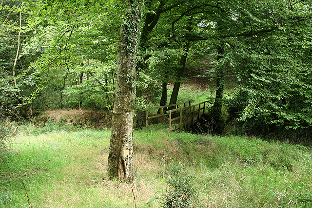
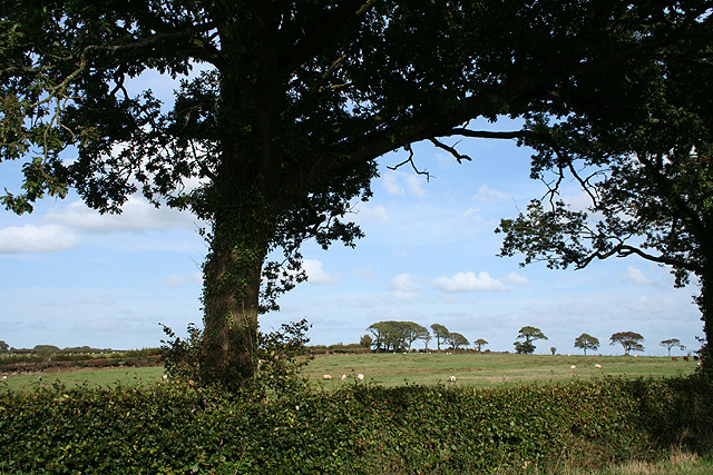
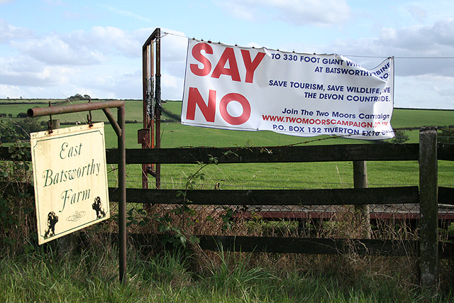
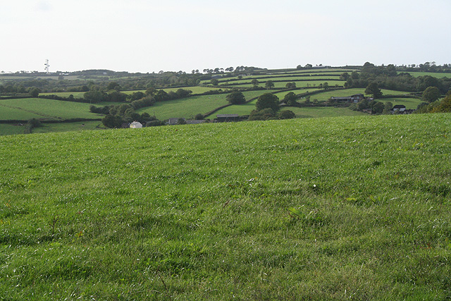
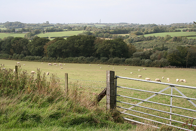
Batsworthy is a small rural village located in the county of Devon, England. Situated in the heart of the picturesque Exmoor National Park, the village is surrounded by rolling hills, lush green fields, and dense woodlands. It lies approximately 7 miles northwest of the town of South Molton and 10 miles southeast of Barnstaple.

The village itself is characterized by its charming, traditional cottages made of local stone, giving it a quintessential English countryside feel. Batsworthy is home to a tight-knit community of residents who take great pride in preserving the village's natural beauty and historic architecture.

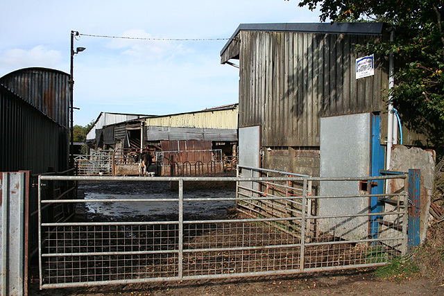
Despite its small size, Batsworthy offers a range of amenities for both locals and visitors. There is a village pub, a post office, and a small convenience store, providing essential services to the community. The surrounding area is also popular with outdoor enthusiasts, offering numerous walking and cycling trails that showcase the stunning natural scenery.

For those interested in history and culture, Batsworthy is within easy reach of several notable attractions. The nearby Arlington Court, a National Trust property, features a grand Regency house, beautiful gardens, and a carriage museum. Additionally, the medieval town of Barnstaple, with its historic architecture and bustling markets, is a short drive away.

Overall, Batsworthy is a tranquil and picturesque village that offers a peaceful escape from the busy urban life. Its natural beauty, friendly community, and convenient location make it an appealing destination for those seeking a taste of traditional rural England.

If you have any feedback on the listing, please let us know in the comments section below.
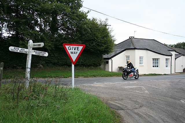
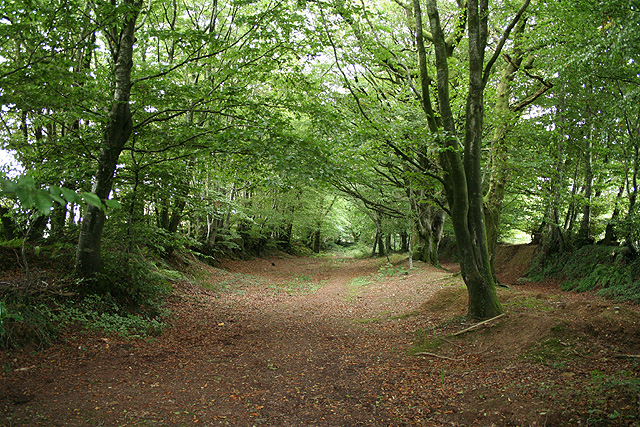
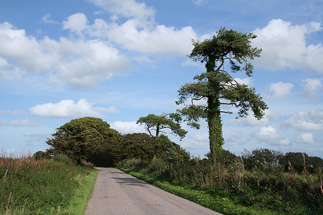
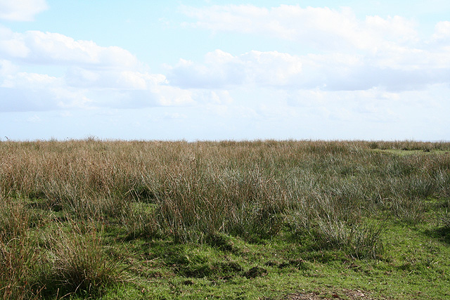
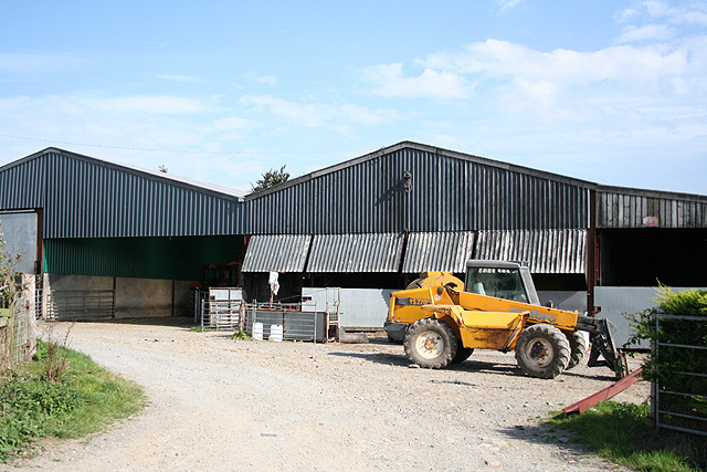
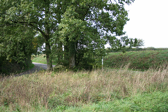
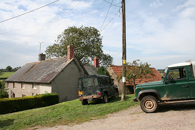
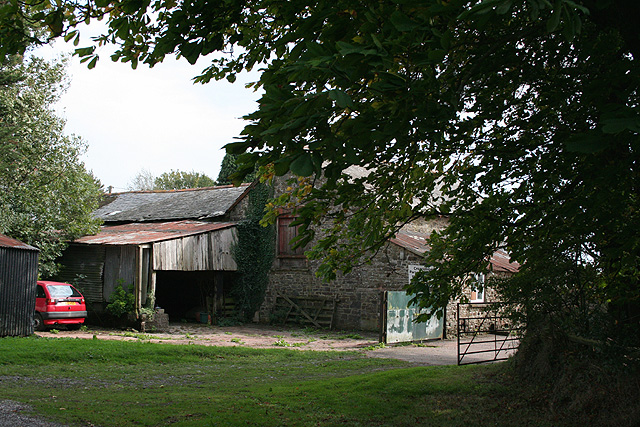
Batsworthy Images

Images are sourced within 2km of 50.958308/-3.6815079 or Grid Reference SS8219. Thanks to Geograph Open Source API. All images are credited.

Rackenford: towards West Backstone On a public footpath, crossing a field, looking west-north-west
Rackenford: towards West Backstone
On a public footpath, crossing a field, looking west-north-west
Rackenford: wooded valley On a public footpath to West Backstone, looking north west
Rackenford: wooded valley
On a public footpath to West Backstone, looking north west
Rackenford: by West Backstone A public footpath to Rackenford village runs by the farmhouse and then past this statue of Fortuna, erected by the farm’s owner after his estate was narrowly spared from foot-and-mouth in 2001. Fortuna holds a cornucopia in her left arm; her right hand on a tiller. Backstone was an extant estate at Domesday; East Backstone once stood adjacent to West Backstone farm. Looking east-north-east
Rackenford: by West Backstone
A public footpath to Rackenford village runs by the farmhouse and then past this statue of Fortuna, erected by the farm’s owner after his estate was narrowly spared from foot-and-mouth in 2001. Fortuna holds a cornucopia in her left arm; her right hand on a tiller. Backstone was an extant estate at Domesday; East Backstone once stood adjacent to West Backstone farm. Looking east-north-east
Rackenford: approaching a stream Public footpath to Rackenford village, looking east-south-east
Rackenford: approaching a stream
Public footpath to Rackenford village, looking east-south-east
Rackenford: old toll house The house stands by the junction of the Tiverton – South Molton road, the B3221, with the route from Creacombe. Nearby the Two Moors Way runs north as a green lane. Looking east-north-east
Rackenford: old toll house
The house stands by the junction of the Tiverton – South Molton road, the B3221, with the route from Creacombe. Nearby the Two Moors Way runs north as a green lane. Looking east-north-east
Rackenford: Two Moors Way An old green way. By North Backstone, looking north
Rackenford: Two Moors Way
An old green way. By North Backstone, looking north
Rose Ash: on Nutcombe Ridge Looking east-north-east in the direction of Batsworthy Cross
Rose Ash: on Nutcombe Ridge
Looking east-north-east in the direction of Batsworthy Cross
Creacombe: Lower Moor Close to Batsworthy Cross where it is proposed that a large wind turbine be erected. Local residents are far from best pleased
Creacombe: Lower Moor
Close to Batsworthy Cross where it is proposed that a large wind turbine be erected. Local residents are far from best pleased
Creacombe: by Batsworthy Cross Roadside view with oak tree. Looking east-north-east
Creacombe: by Batsworthy Cross
Roadside view with oak tree. Looking east-north-east
Creacombe: East Batsworthy Farm Banner at farm entrance proclaiming opposition to a proposed wind turbine – on a large scale – to be located at nearby Batsworthy Cross. Looking south to farmland
Creacombe: East Batsworthy Farm
Banner at farm entrance proclaiming opposition to a proposed wind turbine – on a large scale – to be located at nearby Batsworthy Cross. Looking south to farmland
Rackenford: Waterloo Farm By the old road from Tiverton. Looking north east
Rackenford: Waterloo Farm
By the old road from Tiverton. Looking north east
Creacombe: near Creacombemoor Cross Looking west-north-west over the valley of the Sturcombe River. The communications mast at Venhay Cross can be seen on the skyline, left. The Two Moors Way passes by Creacombemoor Cross
Creacombe: near Creacombemoor Cross
Looking west-north-west over the valley of the Sturcombe River. The communications mast at Venhay Cross can be seen on the skyline, left. The Two Moors Way passes by Creacombemoor Cross
Creacombe: footpath to West Backstone Looking south-south-east. Beyond the bend the public path diverges to the left from the private drive
Creacombe: footpath to West Backstone
Looking south-south-east. Beyond the bend the public path diverges to the left from the private drive
Rose Ash: barns near Densdon Gate On the edge of Ditchett Moor, looking east-north-east
Rose Ash: barns near Densdon Gate
On the edge of Ditchett Moor, looking east-north-east
Rose Ash: Ditchett Cross A road from Witheridge meets one from Creacombe to Meshaw in a triangular junction. Looking north west, roughly in the direction of Meshaw
Rose Ash: Ditchett Cross
A road from Witheridge meets one from Creacombe to Meshaw in a triangular junction. Looking north west, roughly in the direction of Meshaw
Creacombe: farmhouse Creacombe is no more than a hamlet. Looking north west
Creacombe: farmhouse
Creacombe is no more than a hamlet. Looking north west
Creacombe: Creacombe Parsonage Farm The farm offers bread and breakfast for visitors and there is a camp site. Looking south east
Creacombe: Creacombe Parsonage Farm
The farm offers bread and breakfast for visitors and there is a camp site. Looking south east
Creacombe: near Great Longland Plantation Looking west-north-west towards the Sturcombe River valley. Ash Moor, beyond the square, is on the horizon
Creacombe: near Great Longland Plantation
Looking west-north-west towards the Sturcombe River valley. Ash Moor, beyond the square, is on the horizon
Show me another place!

Batsworthy is located at Grid Ref: SS8219 (Lat: 50.958308, Lng: -3.6815079)

Administrative County: Devon

District: North Devon

Police Authority: Devon and Cornwall

What 3 Words

///expel.removed.retain. Near Witheridge, Devon

Related Wikis

Batsworthy

Batsworthy is a village in Devon, England. == References ==

Creacombe

Creacombe is a small village and former civil parish, now in the parish of Rackenford, in the North Devon district of Devon, England. Its nearest town...

Rackenford

Rackenford is a village and civil parish in North Devon, England. It is roughly located 7.31 miles North West of Tiverton and 20 miles South East of Barnstaple...

Rackenford and Knowstone Moors

Rackenford and Knowstone Moors is a nature reserve of the Devon Wildlife Trust, situated about 8 miles (13 km) north-west of Tiverton, in Devon, England...

Rose Ash

Rose Ash, formerly Ralph-Esse, is a village and civil parish in North Devon district, Devon, England. In the 2011 census it was recorded as having a population...

Roachill

Roachill is a hamlet in the civil parish of Knowstone in the North Devon district of Devon, England. Its nearest town is Tiverton, which lies approximately...

Knowstone

Knowstone is a village and civil parish situated in the North Devon district of Devon, England, halfway between the Mid Devon town of Tiverton, Devon and...

Witheridge

Witheridge is a village and civil parish in the North Devon district of Devon, England. In 2001 the population of the parish was 1162, reducing slightly...

Nearby Amenities

Located within 500m of 50.958308,-3.6815079
Creacombe
Place: hamlet
Source: npe
Wikidata: Q5183313
Lat/Long: 50.9610344/-3.6834365
St Michael's Church
Disused Amenity: place_of_worship
Wikidata: Q26611042
Lat/Long: 50.9614322/-3.6843198
Addr City: Creacombe
Addr Housename: Creacombe Barton
Lat/Long: 50.9616611/-3.6838588
Addr City: Creacombe
Addr Housename: Creacombe Bungalow
Lat/Long: 50.9618752/-3.6821114
Power: pole
Source: bing
Transformer: distribution
Lat/Long: 50.961819/-3.6824122
Power: pole
Source: bing
Lat/Long: 50.9620907/-3.6822757
Power: pole
Source: bing
Lat/Long: 50.962719/-3.681997
The data included in this document is from www.openstreetmap.org. The data is made available under ODbL.

Have you been to Batsworthy?

Leave your review of Batsworthy below (or comments, questions and feedback).