Creacombemoor Beech Trees
Wood, Forest in Devon North Devon
England
Creacombemoor Beech Trees
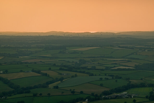
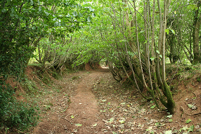
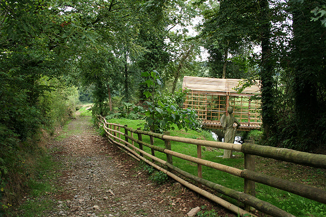
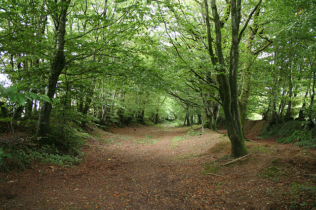
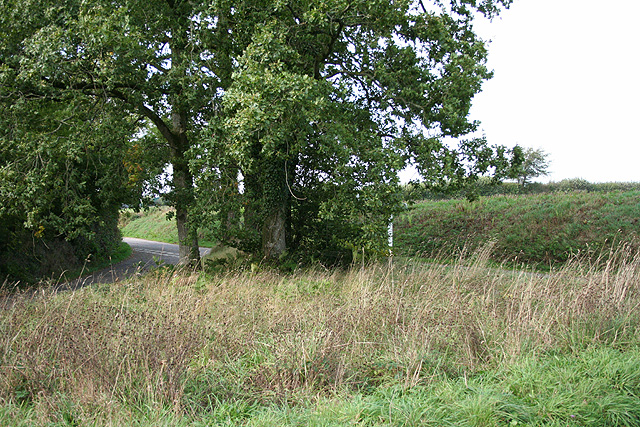
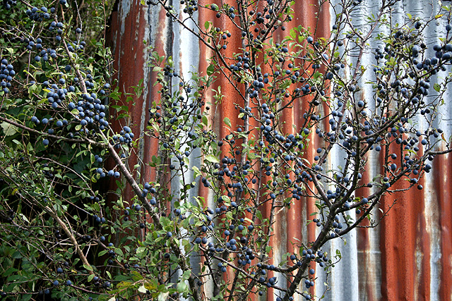
Creacombemoor Beech Trees is a captivating woodland located in Devon, England. Spanning across an area of approximately 100 acres, this forest is renowned for its stunning display of beech trees that have thrived for centuries. The trees, mostly Fagus sylvatica, stand tall and majestic, creating a dense canopy that provides an enchanting atmosphere within the forest.
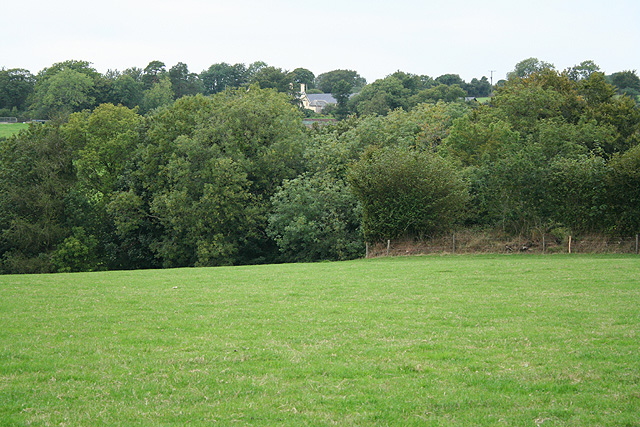
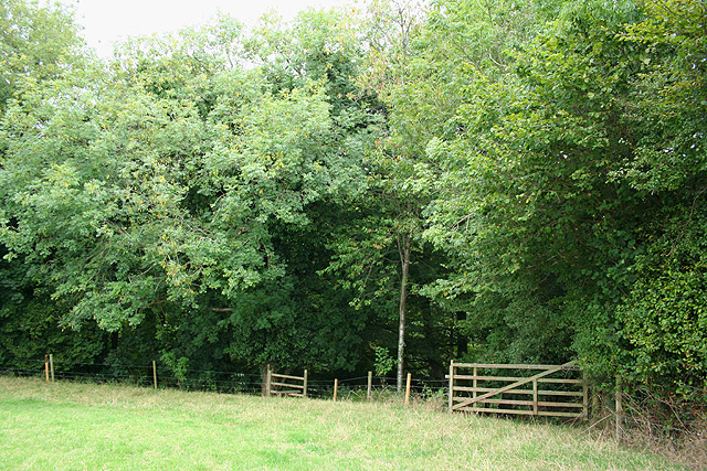
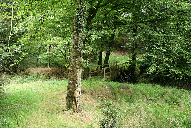
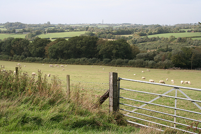
The woodland is characterized by its rich biodiversity, offering a home to a plethora of flora and fauna. Besides the dominant beech trees, the forest also boasts a variety of other tree species such as oak, ash, and birch, adding to the overall beauty and diversity of the area. The forest floor is covered in a lush carpet of mosses, ferns, and wildflowers, creating a vibrant and picturesque landscape.
Creacombemoor Beech Trees is not only visually striking but also holds significant ecological importance. The dense foliage of the beech trees provides a habitat for various bird species, including woodpeckers, owls, and thrushes. The forest also supports a diverse range of mammals, such as foxes, badgers, and deer, which find shelter and food within its boundaries.
The woodland is a popular destination for nature enthusiasts and hikers who are drawn to its tranquil ambiance and scenic beauty. Several well-maintained walking trails meander through the forest, allowing visitors to explore its wonders at their own pace. These paths offer breathtaking views of the towering beech trees and the opportunity to spot some of the woodland's inhabitants.
Creacombemoor Beech Trees, with its ancient and awe-inspiring trees, offers a captivating experience for anyone seeking solace in nature. Its lush greenery, diverse wildlife, and peaceful atmosphere make it a true gem of Devon's natural landscape.
If you have any feedback on the listing, please let us know in the comments section below.
Creacombemoor Beech Trees Images
Images are sourced within 2km of 50.961074/-3.6686208 or Grid Reference SS8219. Thanks to Geograph Open Source API. All images are credited.

Creacombemoor Beech Trees is located at Grid Ref: SS8219 (Lat: 50.961074, Lng: -3.6686208)
Administrative County: Devon
District: North Devon
Police Authority: Devon and Cornwall
What 3 Words
///exclusive.found.door. Near Witheridge, Devon
Nearby Locations
Related Wikis

Creacombe
Creacombe is a small village and former civil parish, now in the parish of Rackenford, in the North Devon district of Devon, England. Its nearest town...

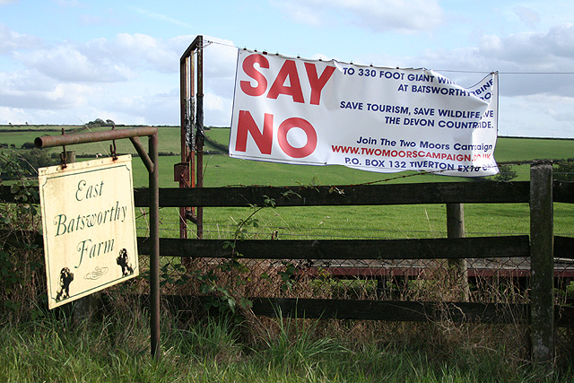
Batsworthy
Batsworthy is a village in Devon, England. == References ==

Rackenford
Rackenford is a village and civil parish in North Devon, England. It is roughly located 7.31 miles North West of Tiverton and 20 miles South East of Barnstaple...

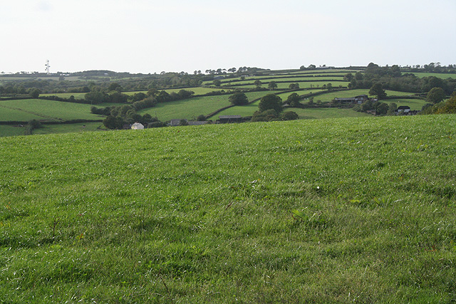
Rackenford and Knowstone Moors
Rackenford and Knowstone Moors is a nature reserve of the Devon Wildlife Trust, situated about 8 miles (13 km) north-west of Tiverton, in Devon, England...

Roachill
Roachill is a hamlet in the civil parish of Knowstone in the North Devon district of Devon, England. Its nearest town is Tiverton, which lies approximately...

Knowstone
Knowstone is a village and civil parish situated in the North Devon district of Devon, England, halfway between the Mid Devon town of Tiverton, Devon and...

Rose Ash
Rose Ash, formerly Ralph-Esse, is a village and civil parish in North Devon district, Devon, England. In the 2011 census it was recorded as having a population...

Ash Mill
Ash Mill is a village in Devon, England.Ashmill was the site of Ashwater station on the former L.S.W.R. North Cornwall line which closed in the 1960s....
Related Videos

Upcott Squire Devon Holidays 2019
Upcott Squire Devon Holidays is a collection of three well-appointed cottages, a quiet rural retreat in the glorious North Devon ...

Batsworthy Wind Farm (Knowstone, North Devon, England) | Drone Footage (2K) | DJI Mavic Mini
Some drone footage of Bathsworthy Wind Farm (Knowstone, Devon) highlighting a unique look at a wind turbine in the air from up ...
Have you been to Creacombemoor Beech Trees?
Leave your review of Creacombemoor Beech Trees below (or comments, questions and feedback).