Millhampton Wood
Wood, Forest in Worcestershire Wychavon
England
Millhampton Wood
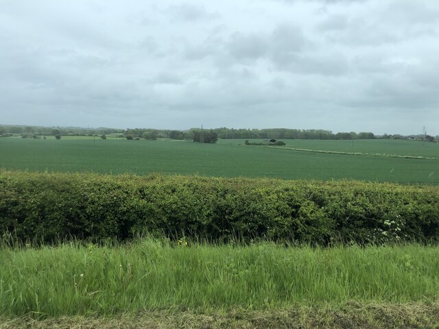
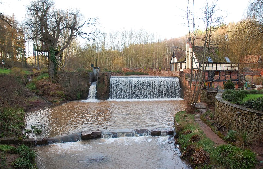
Millhampton Wood is a picturesque forest located in Worcestershire, England. Covering an area of approximately 100 acres, the wood is a haven for nature lovers and outdoor enthusiasts alike. It is situated on the outskirts of the village of Millhampton, which adds to its charm and accessibility.
The wood is primarily composed of an assortment of deciduous trees, including oak, beech, and ash. These towering trees create a dense canopy, providing shade and shelter for a variety of wildlife. Bluebells and wildflowers carpet the forest floor during spring, adding a burst of color and fragrance to the surroundings.
A network of well-maintained trails weaves through the wood, allowing visitors to explore its natural beauty at their own pace. These paths are suitable for walkers, joggers, and cyclists, providing a chance to immerse oneself in the tranquil ambiance of the forest.
Millhampton Wood is teeming with wildlife. Birdwatchers can spot a range of avian species, including woodpeckers, songbirds, and owls. Deer, squirrels, and rabbits also call the wood their home, enhancing the feeling of being in a truly natural environment.
The wood is a popular destination for families, offering picnic areas and designated spots for barbecues. Children can enjoy the adventure playground, while adults can relax in the peaceful surroundings.
Overall, Millhampton Wood is a captivating woodland retreat, offering a serene escape from the hustle and bustle of everyday life. Its idyllic setting, abundant wildlife, and well-maintained trails make it a must-visit destination for nature enthusiasts in Worcestershire.
If you have any feedback on the listing, please let us know in the comments section below.
Millhampton Wood Images
Images are sourced within 2km of 52.284459/-2.2501879 or Grid Reference SO8365. Thanks to Geograph Open Source API. All images are credited.


Millhampton Wood is located at Grid Ref: SO8365 (Lat: 52.284459, Lng: -2.2501879)
Administrative County: Worcestershire
District: Wychavon
Police Authority: West Mercia
What 3 Words
///shining.brimmed.tech. Near Hartlebury, Worcestershire
Nearby Locations
Related Wikis

Ombersley and Doverdale
Ombersley and Doverdale is an area in Wychavon district, Worcestershire, England served by a single parish council but comprising the two separate civil...

Holt Fleet Bridge
Holt Fleet Bridge, also known as Holt Bridge, is a cast-iron arch bridge over the River Severn, at Holt in Worcestershire, England. It has a span of 150...
Ombersley
Ombersley is a village and civil parish in Wychavon district, in the county of Worcestershire, England. The parish includes the hamlet of Holt Fleet,...

Dunhampton
Dunhampton is a village in Worcestershire, England.
Dick Brook
Dick Brook is small tributary stream of the River Severn that flows through Worcestershire, England.The brook is formed from two small unnamed streams...

Shrawley
Shrawley is a village and civil parish in the Malvern Hills District in the county of Worcestershire, England. The village is situated on the western bank...

Holt, Worcestershire
Holt is a village and civil parish in the Malvern Hills District of the county of Worcestershire, England. The church is dedicated to St. Martin, and dates...

Holt Heath, Worcestershire
Holt Heath, in the parish of Holt, is a village near the west bank of the River Severn in Worcestershire. The nearest towns are all about 6 miles away...
Nearby Amenities
Located within 500m of 52.284459,-2.2501879Have you been to Millhampton Wood?
Leave your review of Millhampton Wood below (or comments, questions and feedback).