Battenton Green

Wood, Forest in Worcestershire Wychavon

England

Battenton Green

Farmland north of Ombersley Flat meadows as far as the eye can see
Farmland north of Ombersley Credit: Eirian Evans

Battenton Green is a picturesque village located in the county of Worcestershire, England. Nestled amidst the beautiful woodlands and forests of the region, it offers residents and visitors a serene and tranquil environment.

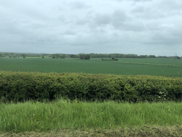
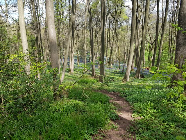
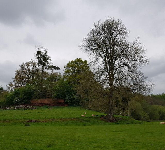
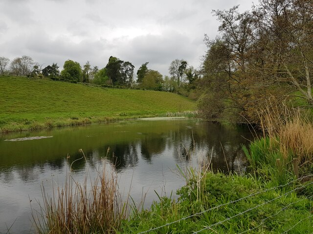
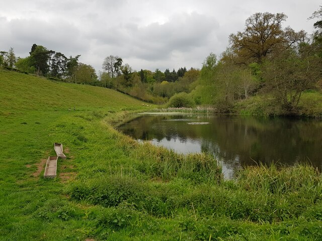
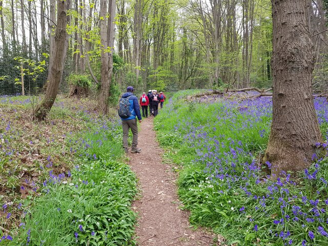
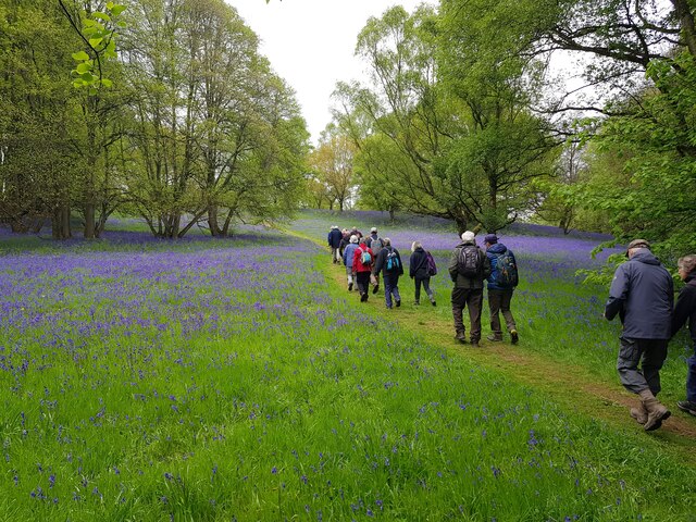
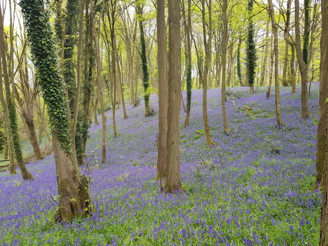
The village is situated in the heart of the Worcestershire countryside, surrounded by lush green fields and rolling hills. It is known for its abundance of trees and woodlands, providing a rich habitat for various wildlife species. Residents of Battenton Green enjoy the luxury of living in close proximity to nature, with ample opportunities for outdoor activities such as hiking, bird-watching, and exploring the surrounding forests.

The village itself is small and community-oriented, with a tight-knit population that fosters a warm and friendly atmosphere. The local residents take pride in maintaining the village's charm, evident in the well-preserved traditional cottages and buildings that line the streets. The village green serves as a focal point, providing a gathering place for community events and activities.

Battenton Green is also home to a quaint village church, which serves as a place of worship for the locals and a historical landmark for the area. The church's architecture reflects the village's rich history, dating back several centuries.

In terms of amenities, Battenton Green offers a limited but essential range of facilities. These include a small primary school, a village hall, and a local pub. For more extensive shopping and entertainment options, residents can easily access nearby towns and cities, such as Worcester or Kidderminster, which are just a short drive away.

Overall, Battenton Green is a charming village in Worcestershire, known for its natural beauty, strong sense of community, and peaceful way of life.

If you have any feedback on the listing, please let us know in the comments section below.

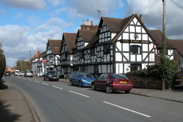
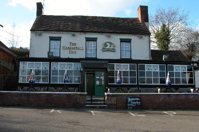
Battenton Green Images

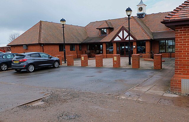
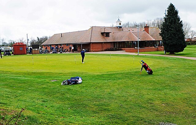
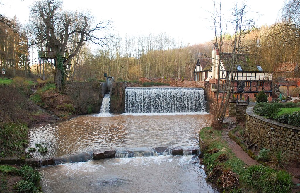
Images are sourced within 2km of 52.291633/-2.2500231 or Grid Reference SO8365. Thanks to Geograph Open Source API. All images are credited.

Farmland north of Ombersley Flat meadows as far as the eye can see
Farmland north of Ombersley
Flat meadows as far as the eye can see
Fields next to a footpath, near to Uphampton
Field boundary near Uphampton, Worcestershire
Walkers heading for Boreley House With the Abberley Hills in the distance.
Walkers heading for Boreley House
With the Abberley Hills in the distance.
Farm buildings at Boreley House with Woodbury Hill behind
Black Barn, Boreley Lane from the field side
A very distant view of Abberley Clocktower
Brook Cottages, Boreley Lane, Ombersley
Minor path in Shrawley woods with Bluebells and Ramsons
Oliver's Mound, Shrawley Woods
Pond near Oliver's Mound, Shrawley Woods
Pond near Oliver's Mound, Shrawley Woods (2)
Walkers in Shrawley Woods admiring the bluebells
Walkers amongst the bluebells, Shrawley Wood
Slope of bluebells, Shrawley Woods
Ombersley Golf Club Clubhouse (1), Bishops Wood Road, near Ombersley, Worcs The club was developed by a local farming family who continue to run it. The course opened in late 1991. The impressive Clubhouse includes a bar and restaurant which is open to the public, including those who do not play golf.  There is a large car park in front with access from Bishops Wood Road.

<a href="https://www.geograph.org.uk/photo/7436394">SO8267 : Ombersley Golf Club Clubhouse (2), Bishops Wood Road, near Ombersley, Worcs</a>.
Ombersley Golf Club Clubhouse (1), Bishops Wood Road, near Ombersley, Worcs
The club was developed by a local farming family who continue to run it. The course opened in late 1991. The impressive Clubhouse includes a bar and restaurant which is open to the public, including those who do not play golf. There is a large car park in front with access from Bishops Wood Road. SO8267 : Ombersley Golf Club Clubhouse (2), Bishops Wood Road, near Ombersley, Worcs.
Plough in front of Clubhouse, Ombersley Golf Club, near Ombersley, Worcs The Ombersley Golf Club is located in a very rural area and on former farmland. The plough is a symbol of this.

<a href="https://www.geograph.org.uk/photo/7436273">SO8367 : Ombersley Golf Club Clubhouse (1), Bishops Wood Road, near Ombersley, Worcs</a>.
<a href="https://www.geograph.org.uk/photo/7436394">SO8267 : Ombersley Golf Club Clubhouse (2), Bishops Wood Road, near Ombersley, Worcs</a>.
Plough in front of Clubhouse, Ombersley Golf Club, near Ombersley, Worcs
The Ombersley Golf Club is located in a very rural area and on former farmland. The plough is a symbol of this. SO8367 : Ombersley Golf Club Clubhouse (1), Bishops Wood Road, near Ombersley, Worcs. SO8267 : Ombersley Golf Club Clubhouse (2), Bishops Wood Road, near Ombersley, Worcs.
Ombersley Golf Club Clubhouse (2), Bishops Wood Road, near Ombersley, Worcs The clubhouse includes a bar and restaurant and an extensively stocked golf shop.

<a href="https://www.geograph.org.uk/photo/7436273">SO8367 : Ombersley Golf Club Clubhouse (1), Bishops Wood Road, near Ombersley, Worcs</a>.
Ombersley Golf Club Clubhouse (2), Bishops Wood Road, near Ombersley, Worcs
The clubhouse includes a bar and restaurant and an extensively stocked golf shop. SO8367 : Ombersley Golf Club Clubhouse (1), Bishops Wood Road, near Ombersley, Worcs.
Show me another place!

Battenton Green is located at Grid Ref: SO8365 (Lat: 52.291633, Lng: -2.2500231)

Administrative County: Worcestershire

District: Wychavon

Police Authority: West Mercia

What 3 Words

///breezes.stretcher.corrosive. Near Hartlebury, Worcestershire

Related Wikis

Dunhampton

Dunhampton is a village in Worcestershire, England.

Dick Brook

Dick Brook is small tributary stream of the River Severn that flows through Worcestershire, England.The brook is formed from two small unnamed streams...

Ombersley and Doverdale

Ombersley and Doverdale is an area in Wychavon district, Worcestershire, England served by a single parish council but comprising the two separate civil...

Shrawley

Shrawley is a village and civil parish in the Malvern Hills District in the county of Worcestershire, England. The village is situated on the western bank...

Ombersley

Ombersley is a village and civil parish in Wychavon district, in the county of Worcestershire, England. The parish includes the hamlet of Holt Fleet,...

Crossway Green

Crossway Green is a village in Worcestershire, England.

Holt Fleet Bridge

Holt Fleet Bridge, also known as Holt Bridge, is a cast-iron arch bridge over the River Severn, at Holt in Worcestershire, England. It has a span of 150...

Astley Burf

Astley Burf is a hamlet in the parish of Astley, Worcestershire, England, on the banks of the River Severn. Within the hamlet there is one riverside public...

Nearby Amenities

Located within 500m of 52.291633,-2.2500231
Mere Pool Cottages
Power: pole
Transformer: distribution
Voltage Primary: 11000
Lat/Long: 52.29116/-2.2449727
Power: pole
Lat/Long: 52.2902438/-2.2431522
Burnhill Lodge
Power: pole
Transformer: distribution
Voltage Primary: 11000
Lat/Long: 52.2885892/-2.2457814
Power: pole
Lat/Long: 52.2894481/-2.245186
Power: pole
Lat/Long: 52.2900453/-2.2447756
Power: pole
Lat/Long: 52.2908381/-2.2442606
Upper Stonehill
Power: pole
Transformer: distribution
Voltage Primary: 11000
Lat/Long: 52.2943623/-2.2464761
Power: pole
Lat/Long: 52.2944813/-2.2475235
Power: pole
Lat/Long: 52.2949168/-2.248473
Power: pole
Lat/Long: 52.295217/-2.2491436
Power: pole
Lat/Long: 52.2958075/-2.2504659
Power: pole
Lat/Long: 52.2951743/-2.2542022
Power: pole
Lat/Long: 52.2947987/-2.2546689
Power: pole
Lat/Long: 52.2944353/-2.2551356
Lineholt
Power: pole
Transformer: distribution
Voltage Primary: 11000
Lat/Long: 52.2940834/-2.2555688
Power: pole
Lat/Long: 52.2936586/-2.2557284
Power: pole
Lat/Long: 52.2932648/-2.2558665
Power: pole
Lat/Long: 52.2928441/-2.256006
Power: pole
Lat/Long: 52.2922568/-2.2561683
Thistledome
Power: pole
Transformer: distribution
Voltage Primary: 11000
Lat/Long: 52.291443/-2.2570159
Power: pole
Lat/Long: 52.2913905/-2.2565223
Power: pole
Lat/Long: 52.2907401/-2.2567476
The data included in this document is from www.openstreetmap.org. The data is made available under ODbL.

Have you been to Battenton Green?

Leave your review of Battenton Green below (or comments, questions and feedback).