Aiths Hamar
Beach in Shetland
Scotland
Aiths Hamar
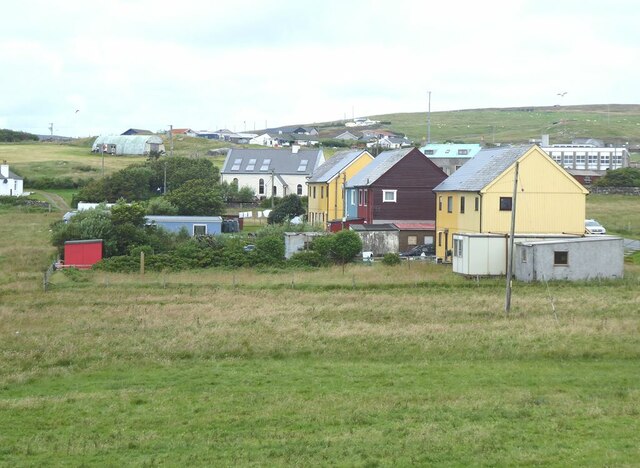
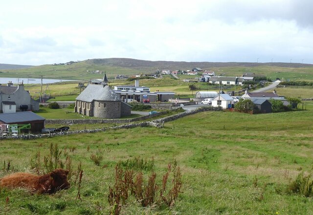
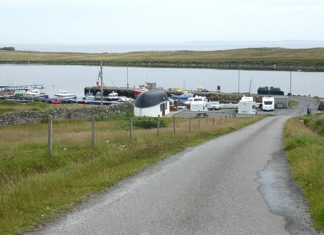
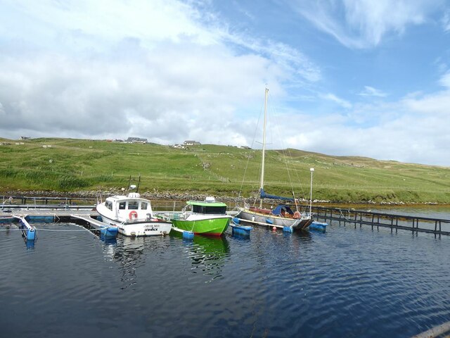
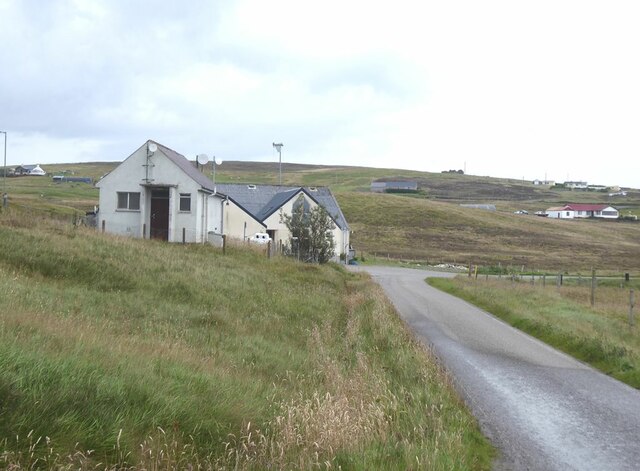
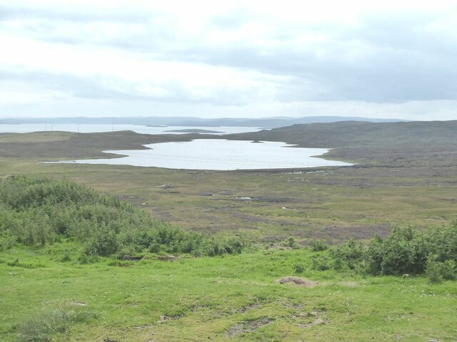
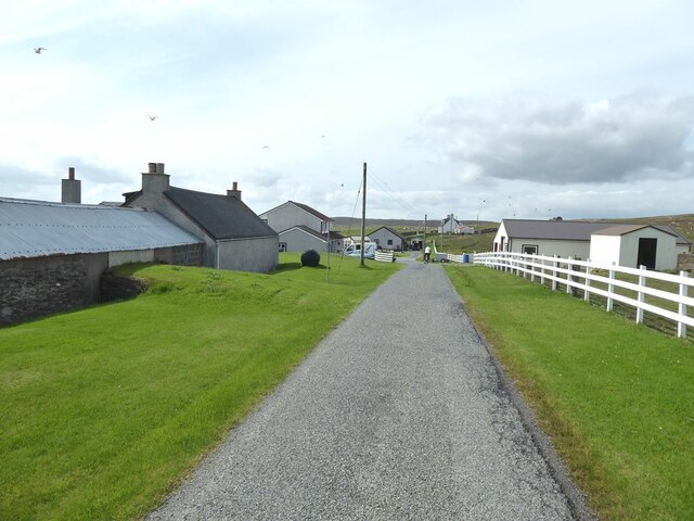
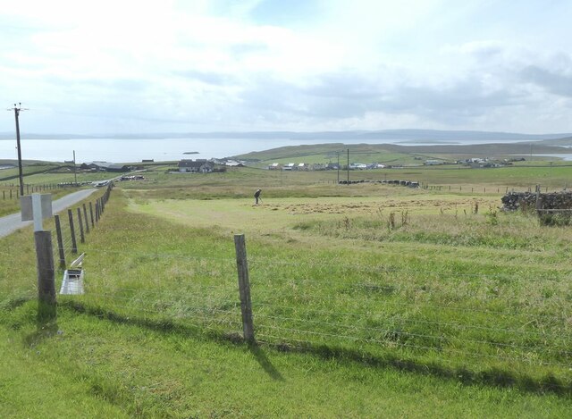
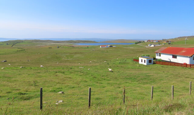
Aiths Hamar is a picturesque beach located in the Shetland Islands, Scotland. Nestled on the west coast of the mainland, this idyllic stretch of coastline offers visitors a serene and unspoiled natural beauty that is characteristic of the region. The beach is situated near the village of Aith, which is surrounded by rolling hills and stunning views of the North Atlantic Ocean.
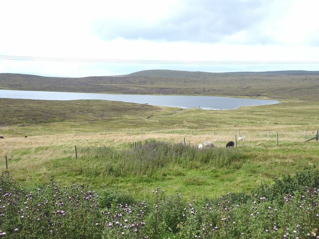
Aiths Hamar is famous for its pristine white sand and crystal-clear turquoise waters, creating a striking contrast against the rugged cliffs that frame the beach. The beach is relatively secluded, providing a peaceful and tranquil atmosphere for those seeking a quiet escape. Its remote location also means that the beach is rarely crowded, allowing visitors to fully immerse themselves in the unspoiled surroundings.
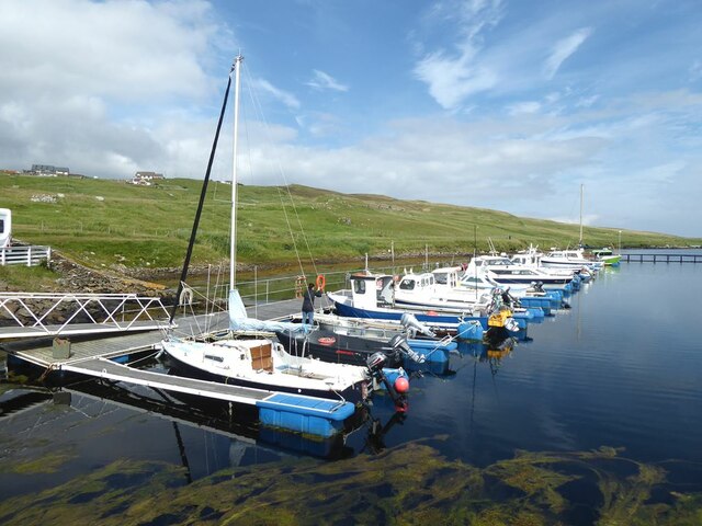
The beach is a popular spot for outdoor activities, including beachcombing, sunbathing, and picnicking. The calm and shallow waters make it an ideal location for swimming, particularly for families with young children. The beach is also a haven for wildlife enthusiasts, with various seabirds and marine life frequently spotted in the area.
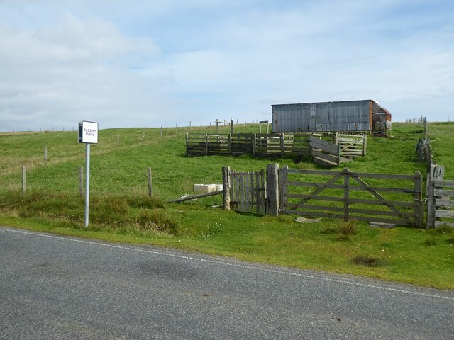
Access to Aiths Hamar is relatively straightforward, with a car park located nearby, and a short walk leading to the beach. The beach offers stunning panoramic views of the surrounding landscape, providing a perfect backdrop for photography enthusiasts.
In conclusion, Aiths Hamar is a hidden gem in the Shetland Islands, offering visitors a serene and unspoiled beach experience. Its natural beauty, tranquility, and abundant wildlife make it a must-visit destination for those exploring the stunning Scottish coastline.
If you have any feedback on the listing, please let us know in the comments section below.
Aiths Hamar Images
Images are sourced within 2km of 60.498424/-1.0378841 or Grid Reference HU5279. Thanks to Geograph Open Source API. All images are credited.


Aiths Hamar is located at Grid Ref: HU5279 (Lat: 60.498424, Lng: -1.0378841)
Unitary Authority: Shetland Islands
Police Authority: Highlands and Islands
What 3 Words
///jaunts.recap.exile. Near Ulsta, Shetland Islands
Nearby Locations
Related Wikis

Burra Voe
Burra Voe (Old Norse: Borgavagr, Broch Bay) is sheltered bay (voe) at the southeast corner of the island of Yell. The village of Burravoe (HU525795) is...

Burravoe
Burravoe is a community on the north shore of Burra Voe, in the south-east part of the island of Yell in the Shetland Islands, Scotland. The name Burravoe...

Old Haa Museum
The Old Haa of Brough in located in Burravoe, Yell, Shetland, Scotland. Built for Robert Tyrie, a merchant, in 1672, houses the local museum for Burravoe...

Gossabrough
Gossabrough is a coastal hamlet, wick and ness on the southeast side of the island of Yell, Shetland, Scotland. The Wick of Gossabrough lies between the...

Orfasay
Orfasay (Old Norse: Orfyrisey, meaning "tidal island") is one of the Shetland Islands. == Geography == Orfasay is a tidal island in Yell Sound, connected...

Lunna Holm
Lunna Holm is a small island near Lunna Ness (Mainland, Shetland), in the Shetland Islands. It is 27 metres (89 ft) at its highest point. == Lighthouse... ==

Copister
Copister is a village in Yell. It is a former centre for haaf fishing, and has a shingle beach. == References == Blackadder, Jill Slee (2003). Shetland...

Otterswick
Otterswick is a hamlet on the island of Yell in the Shetland Islands, on the inlet of Otters Wick. It is on the east side of the island. There is also...
Nearby Amenities
Located within 500m of 60.498424,-1.0378841Have you been to Aiths Hamar?
Leave your review of Aiths Hamar below (or comments, questions and feedback).