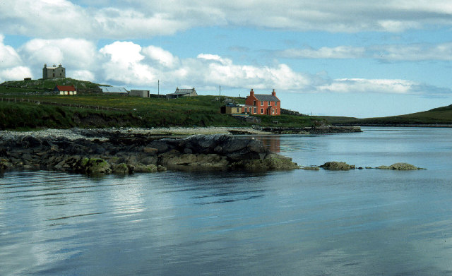
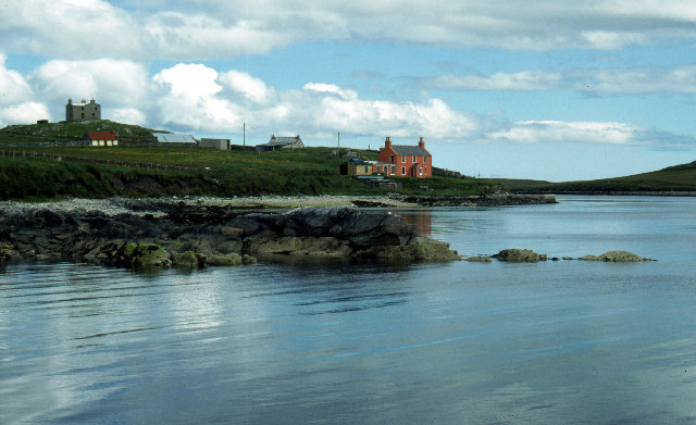
Stane of Houlligarth
Coastal Marsh, Saltings in Shetland
Scotland
Stane of Houlligarth
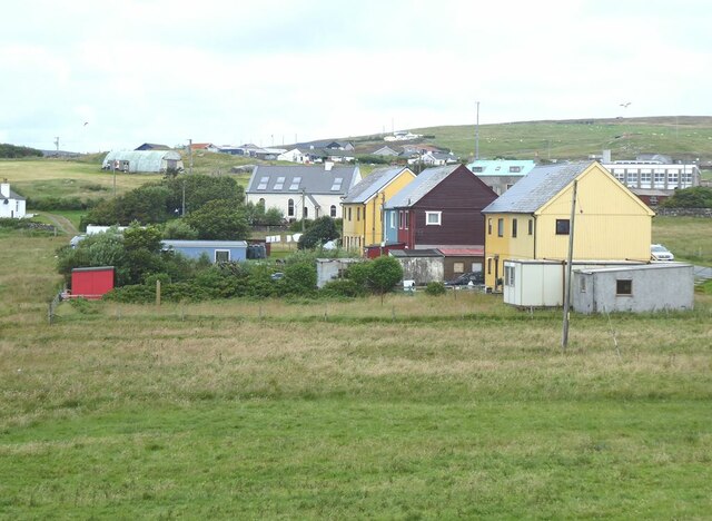
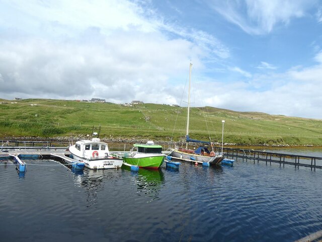
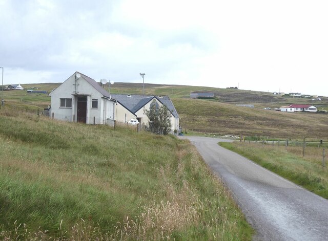
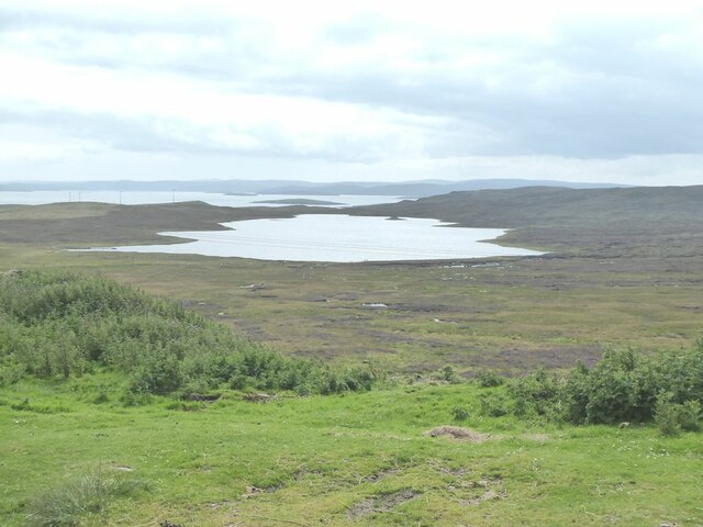
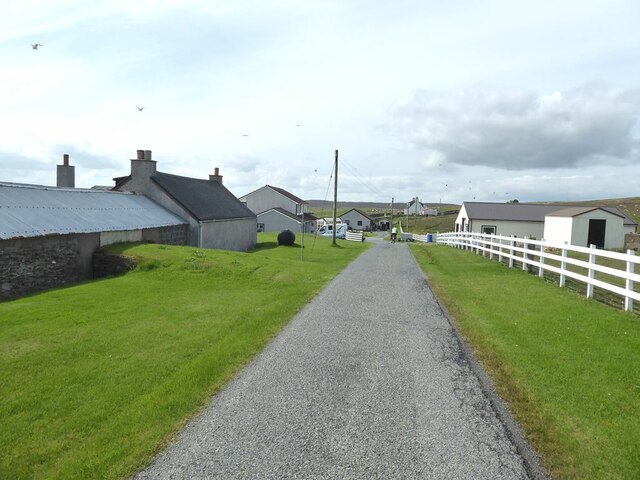
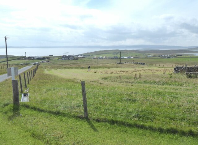
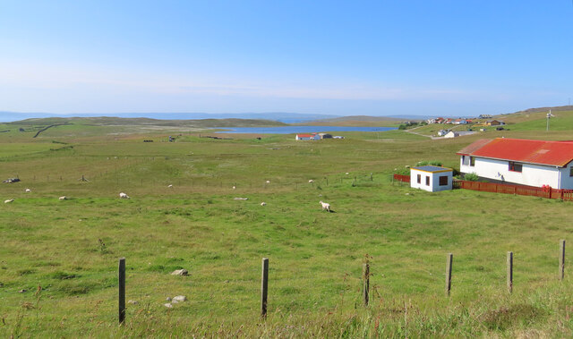
Stane of Houlligarth is a coastal marsh located in Shetland, an archipelago situated off the northeast coast of Scotland. This area is primarily composed of saltmarshes and saltings, making it a unique and important habitat for various species of flora and fauna.
The marsh is characterized by its low-lying, flat terrain and is influenced by tidal movements. It is situated near the coast, providing a transitional zone between land and sea. The vegetation in Stane of Houlligarth is adapted to saline conditions, with plants such as sea aster, sea lavender, and cordgrass being commonly found.
This coastal marsh is of significant ecological importance, as it serves as a feeding and breeding ground for numerous bird species. Birds such as redshanks, oystercatchers, and curlews can be observed in the area, making it a popular spot for birdwatching enthusiasts.
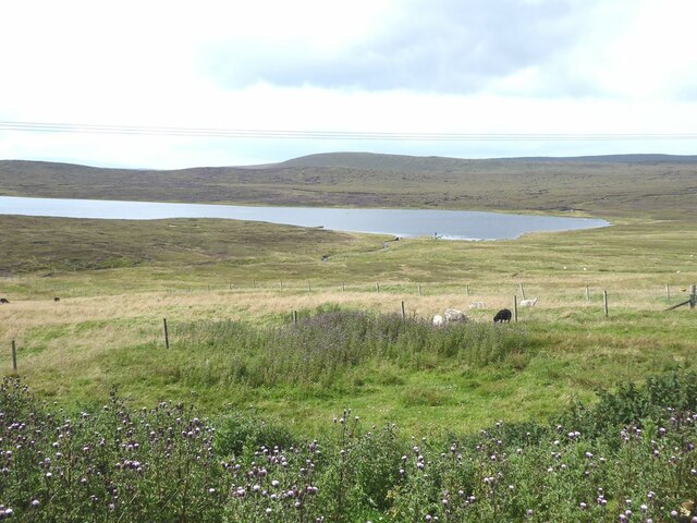
In addition to its ecological value, Stane of Houlligarth also offers recreational opportunities for visitors. The marsh provides a tranquil environment for nature walks and offers stunning views of the surrounding coastline and the North Sea.
Efforts have been made to preserve and protect Stane of Houlligarth, with designated conservation areas and management plans in place. These measures aim to maintain the delicate balance of this unique coastal ecosystem, ensuring its long-term sustainability for both wildlife and visitors.
If you have any feedback on the listing, please let us know in the comments section below.
Stane of Houlligarth Images
Images are sourced within 2km of 60.496949/-1.0449723 or Grid Reference HU5279. Thanks to Geograph Open Source API. All images are credited.
Stane of Houlligarth is located at Grid Ref: HU5279 (Lat: 60.496949, Lng: -1.0449723)
Unitary Authority: Shetland Islands
Police Authority: Highlands and Islands
What 3 Words
///skylights.create.nickname. Near Ulsta, Shetland Islands
Nearby Locations
Related Wikis
Burra Voe
Burra Voe (Old Norse: Borgavagr, Broch Bay) is sheltered bay (voe) at the southeast corner of the island of Yell. The village of Burravoe (HU525795) is...
Burravoe
Burravoe is a community on the north shore of Burra Voe, in the south-east part of the island of Yell in the Shetland Islands, Scotland. The name Burravoe...
Old Haa Museum
The Old Haa of Brough in located in Burravoe, Yell, Shetland, Scotland. Built for Robert Tyrie, a merchant, in 1672, houses the local museum for Burravoe...
Gossabrough
Gossabrough is a coastal hamlet, wick and ness on the southeast side of the island of Yell, Shetland, Scotland. The Wick of Gossabrough lies between the...
Orfasay
Orfasay (Old Norse: Orfyrisey, meaning "tidal island") is one of the Shetland Islands. == Geography == Orfasay is a tidal island in Yell Sound, connected...
Copister
Copister is a village in Yell. It is a former centre for haaf fishing, and has a shingle beach. == References == Blackadder, Jill Slee (2003). Shetland...
Lunna Holm
Lunna Holm is a small island near Lunna Ness (Mainland, Shetland), in the Shetland Islands. It is 27 metres (89 ft) at its highest point. == Lighthouse... ==
Otterswick
Otterswick is a hamlet on the island of Yell in the Shetland Islands, on the inlet of Otters Wick. It is on the east side of the island. There is also...
Nearby Amenities
Located within 500m of 60.496949,-1.0449723Have you been to Stane of Houlligarth?
Leave your review of Stane of Houlligarth below (or comments, questions and feedback).
