Loch of Vatswick
Lake, Pool, Pond, Freshwater Marsh in Shetland
Scotland
Loch of Vatswick
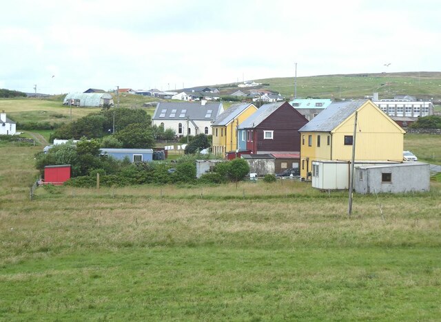
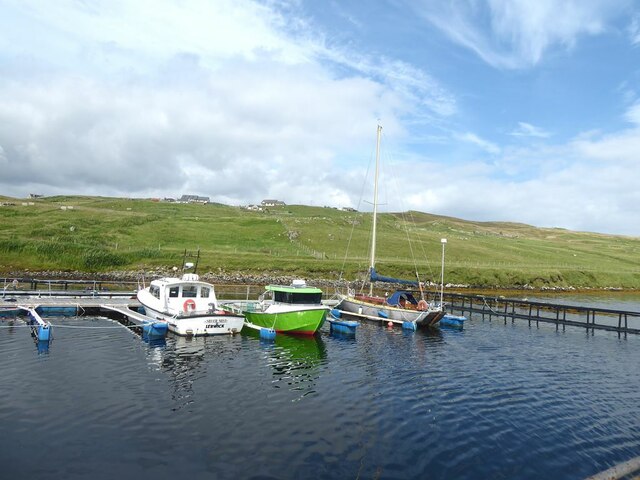
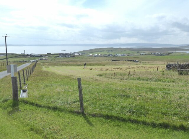
Loch of Vatswick is a picturesque freshwater body located in the Shetland Islands, Scotland. Nestled amidst the rugged and scenic landscape, this natural wonder encompasses an area of approximately 0.24 square kilometers. Often referred to as a "loch," it is more accurately described as a lake, pool, or pond due to its relatively small size.
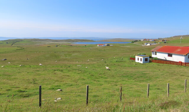
Surrounded by rolling hills and moorlands, Loch of Vatswick offers stunning views and a tranquil atmosphere to visitors. The water in the loch is crystal clear and sourced from rainfall and small streams that feed into it. The lake is primarily freshwater, although it may have some slight salinity due to its proximity to the sea.
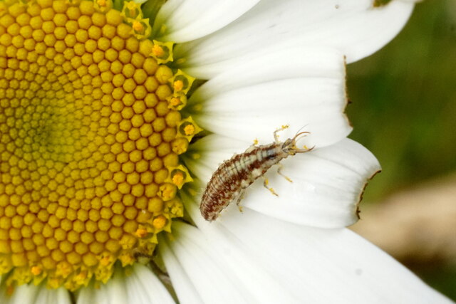
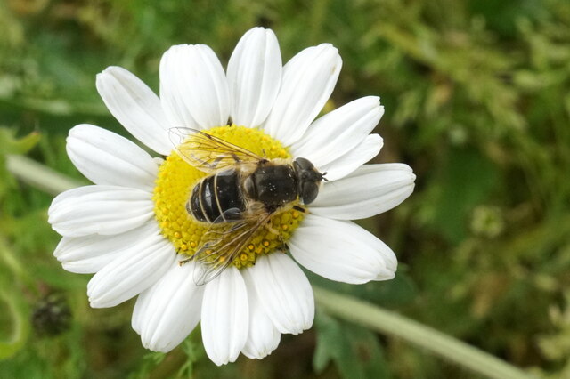
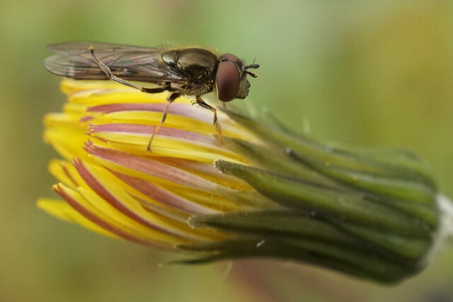
The loch is home to a diverse range of flora and fauna, including various species of water plants, fish, and birds. Water lilies and reeds can often be spotted along the edges, providing a vibrant and colorful display during the summer months. The lake also attracts a variety of bird species, making it a popular spot for birdwatching enthusiasts.
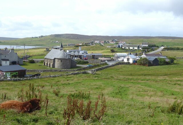
The area surrounding the loch is a haven for nature lovers and outdoor enthusiasts. It offers ample opportunities for activities such as fishing, boating, and hiking. The tranquil environment and breathtaking scenery make it an ideal destination for those seeking a peaceful retreat or a chance to explore the natural beauty of the Shetland Islands.
Overall, Loch of Vatswick is a captivating freshwater feature that showcases the stunning landscape and rich biodiversity of the Shetland Islands. Whether it's for leisurely walks, birdwatching, or simply unwinding amidst nature, this picturesque loch offers a truly unforgettable experience.
If you have any feedback on the listing, please let us know in the comments section below.
Loch of Vatswick Images
Images are sourced within 2km of 60.493017/-1.0439594 or Grid Reference HU5279. Thanks to Geograph Open Source API. All images are credited.


Loch of Vatswick is located at Grid Ref: HU5279 (Lat: 60.493017, Lng: -1.0439594)
Unitary Authority: Shetland Islands
Police Authority: Highlands and Islands
What 3 Words
///raven.solid.scaffold. Near Ulsta, Shetland Islands
Nearby Locations
Related Wikis

Burra Voe
Burra Voe (Old Norse: Borgavagr, Broch Bay) is sheltered bay (voe) at the southeast corner of the island of Yell. The village of Burravoe (HU525795) is...

Old Haa Museum
The Old Haa of Brough in located in Burravoe, Yell, Shetland, Scotland. Built for Robert Tyrie, a merchant, in 1672, houses the local museum for Burravoe...

Burravoe
Burravoe is a community on the north shore of Burra Voe, in the south-east part of the island of Yell in the Shetland Islands, Scotland. The name Burravoe...

Orfasay
Orfasay (Old Norse: Orfyrisey, meaning "tidal island") is one of the Shetland Islands. == Geography == Orfasay is a tidal island in Yell Sound, connected...

Gossabrough
Gossabrough is a coastal hamlet, wick and ness on the southeast side of the island of Yell, Shetland, Scotland. The Wick of Gossabrough lies between the...

Lunna Holm
Lunna Holm is a small island near Lunna Ness (Mainland, Shetland), in the Shetland Islands. It is 27 metres (89 ft) at its highest point. == Lighthouse... ==

Copister
Copister is a village in Yell. It is a former centre for haaf fishing, and has a shingle beach. == References == Blackadder, Jill Slee (2003). Shetland...

Ulsta
Ulsta is a village in the south-west of the island of Yell, Shetland, Scotland. North Ness Hall is the local community facility. The car ferry to Toft...
Nearby Amenities
Located within 500m of 60.493017,-1.0439594Have you been to Loch of Vatswick?
Leave your review of Loch of Vatswick below (or comments, questions and feedback).