Neeberg
Coastal Feature, Headland, Point in Shetland
Scotland
Neeberg
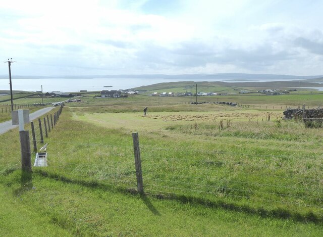
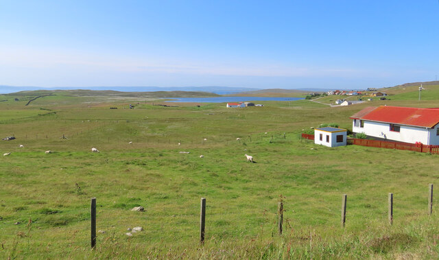
Neeberg is a coastal feature located in the Shetland Islands, a group of islands situated off the north coast of Scotland. Specifically, Neeberg is a headland or point that juts out into the surrounding sea. It is situated on the eastern coast of the main island of Shetland, known as Mainland.
Neeberg is known for its rugged and dramatic cliffs, which reach heights of up to 60 meters (197 feet) above sea level. These cliffs are composed of sedimentary rocks, including sandstone and shale, which have been shaped over thousands of years by the relentless forces of the North Atlantic Ocean. Visitors to Neeberg can witness the impressive power of the crashing waves against the cliffs, creating a mesmerizing display of natural beauty.
The headland offers stunning panoramic views of the surrounding coastline and the open sea. On clear days, visitors can see the nearby islands of Bressay and Noss, as well as the distant horizon. The area is also rich in wildlife, with seabirds nesting on the cliffs, including puffins, guillemots, and razorbills. The waters around Neeberg are home to seals, dolphins, and occasionally even whales, providing an opportunity for wildlife enthusiasts to observe these creatures in their natural habitat.
Due to its natural beauty and ecological significance, Neeberg has become a popular destination for tourists and outdoor enthusiasts. Hiking trails along the headland provide an opportunity to explore the area and experience its raw and untouched beauty. Additionally, its proximity to nearby villages and towns allows for easy access and amenities for visitors.
If you have any feedback on the listing, please let us know in the comments section below.
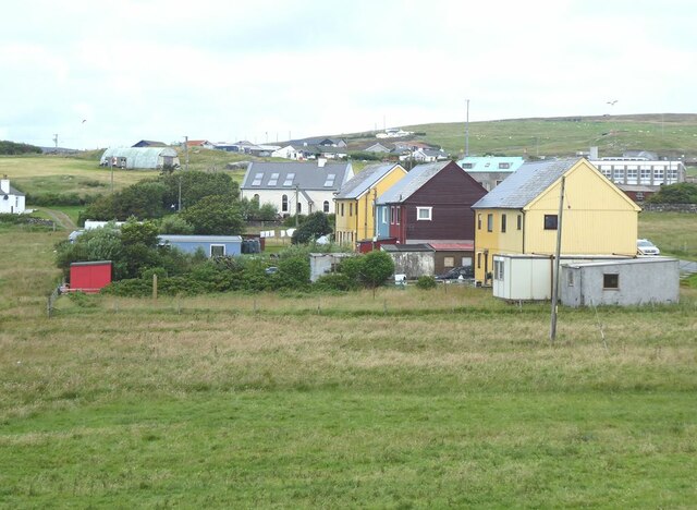
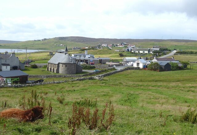
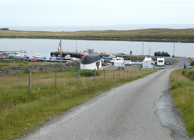
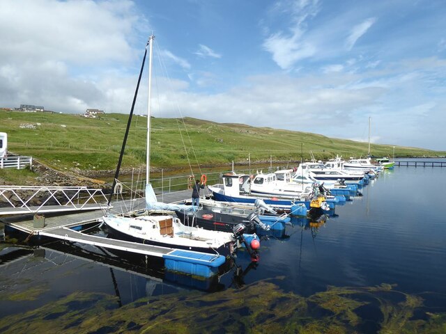
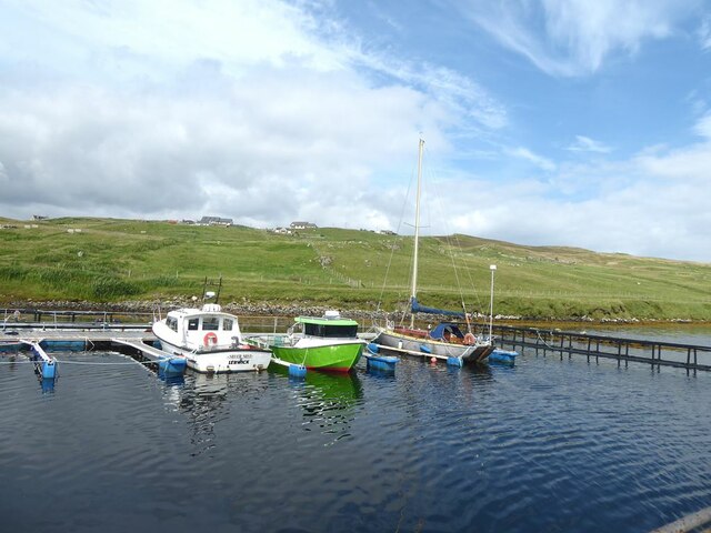
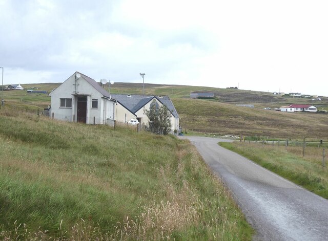
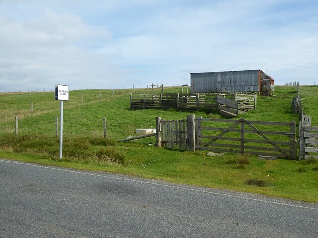
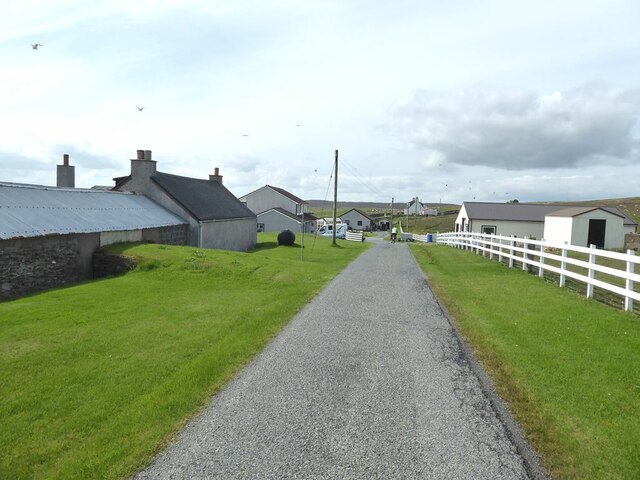
Neeberg Images
Images are sourced within 2km of 60.494308/-1.0386795 or Grid Reference HU5279. Thanks to Geograph Open Source API. All images are credited.


Neeberg is located at Grid Ref: HU5279 (Lat: 60.494308, Lng: -1.0386795)
Unitary Authority: Shetland Islands
Police Authority: Highlands and Islands
What 3 Words
///scribble.lunging.fairway. Near Ulsta, Shetland Islands
Nearby Locations
Related Wikis

Burra Voe
Burra Voe (Old Norse: Borgavagr, Broch Bay) is sheltered bay (voe) at the southeast corner of the island of Yell. The village of Burravoe (HU525795) is...

Old Haa Museum
The Old Haa of Brough in located in Burravoe, Yell, Shetland, Scotland. Built for Robert Tyrie, a merchant, in 1672, houses the local museum for Burravoe...

Burravoe
Burravoe is a community on the north shore of Burra Voe, in the south-east part of the island of Yell in the Shetland Islands, Scotland. The name Burravoe...

Gossabrough
Gossabrough is a coastal hamlet, wick and ness on the southeast side of the island of Yell, Shetland, Scotland. The Wick of Gossabrough lies between the...

Orfasay
Orfasay (Old Norse: Orfyrisey, meaning "tidal island") is one of the Shetland Islands. == Geography == Orfasay is a tidal island in Yell Sound, connected...

Lunna Holm
Lunna Holm is a small island near Lunna Ness (Mainland, Shetland), in the Shetland Islands. It is 27 metres (89 ft) at its highest point. == Lighthouse... ==

Copister
Copister is a village in Yell. It is a former centre for haaf fishing, and has a shingle beach. == References == Blackadder, Jill Slee (2003). Shetland...

Otterswick
Otterswick is a hamlet on the island of Yell in the Shetland Islands, on the inlet of Otters Wick. It is on the east side of the island. There is also...
Nearby Amenities
Located within 500m of 60.494308,-1.0386795Have you been to Neeberg?
Leave your review of Neeberg below (or comments, questions and feedback).