Old Haa
Heritage Site in Shetland
Scotland
Old Haa
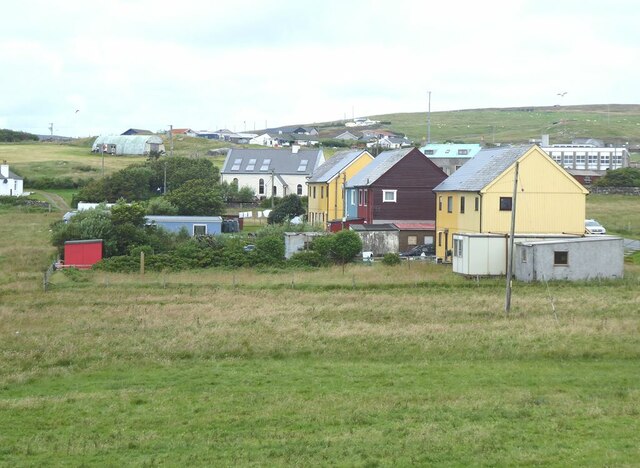
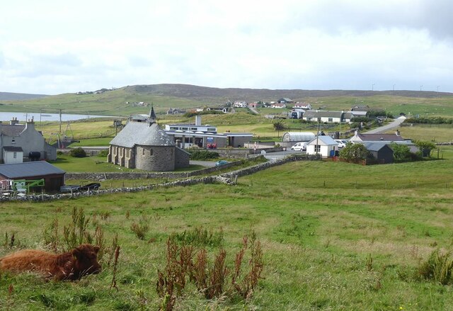
Old Haa is a historic building located in the village of Burravoe, on the east coast of the Shetland Islands in Scotland. This heritage site is a prominent example of a traditional Shetland laird's house, dating back to the early 17th century. The building has served various purposes throughout its long history, including as a merchant's house, a school, and a community center.
The Old Haa is a two-story stone building with a distinctive crow-stepped gable roof. It is built in a traditional Scottish style, with thick walls and small windows to withstand the harsh weather conditions of the Shetland Islands. The interior features several well-preserved original features, including a grand staircase, intricate woodwork, and a cozy fireplace.
Today, Old Haa operates as a museum, showcasing the history and culture of the Shetland Islands. Visitors can explore the various rooms, which have been restored to reflect different periods in the building's history. The museum displays a wide range of artifacts and exhibits, including traditional Shetland textiles, historic photographs, and local crafts.
In addition to the museum, Old Haa also hosts regular events and workshops to engage the local community and visitors alike. These events often celebrate Shetland's rich heritage, such as traditional music performances, storytelling, and craft demonstrations.
Old Haa is a popular attraction for tourists interested in experiencing the unique history and culture of the Shetland Islands. Its well-preserved architecture, informative exhibits, and engaging events make it a must-visit destination for anyone exploring the region.
If you have any feedback on the listing, please let us know in the comments section below.
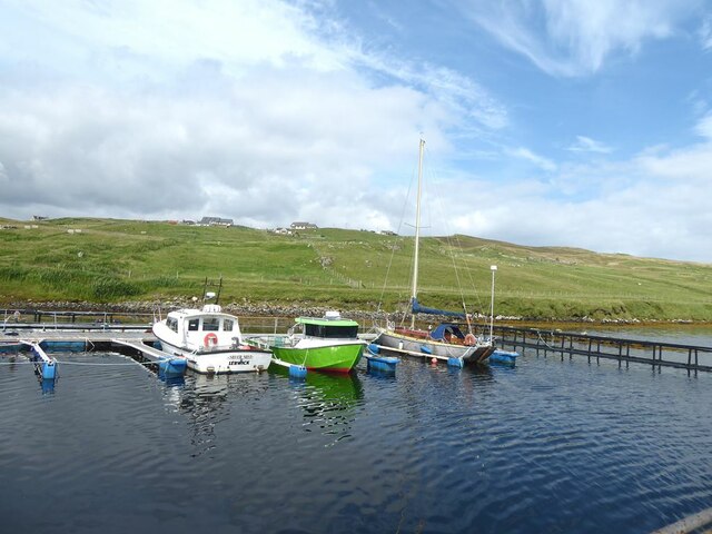
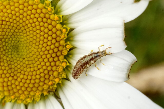
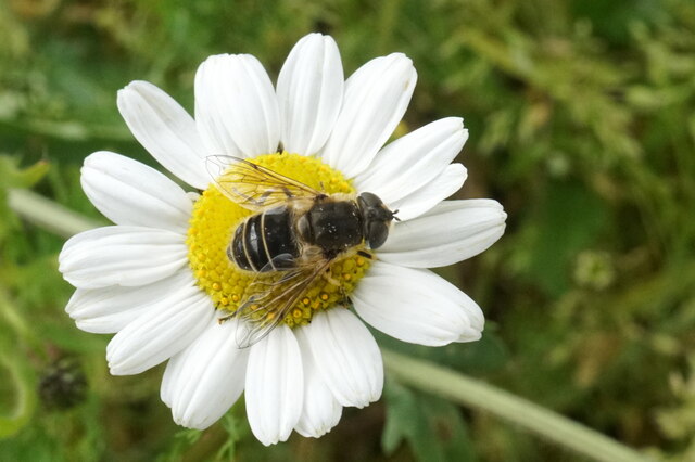
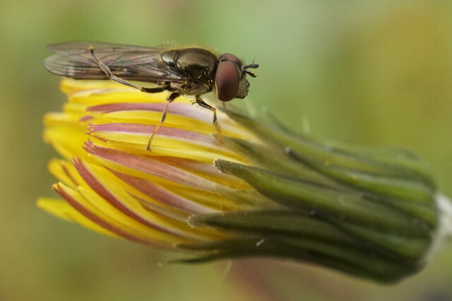
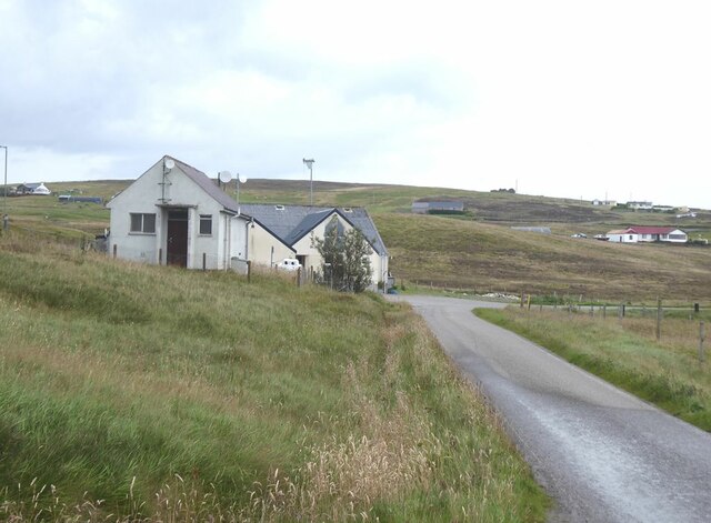
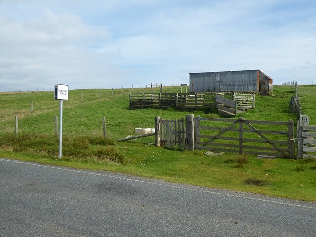
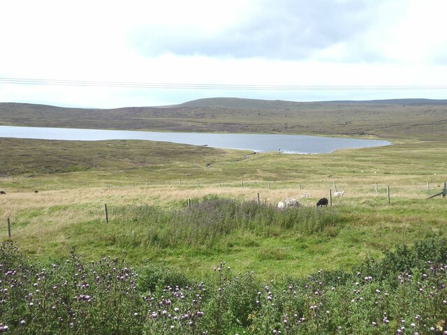
Old Haa Images
Images are sourced within 2km of 60.497/-1.045 or Grid Reference HU5279. Thanks to Geograph Open Source API. All images are credited.


Old Haa is located at Grid Ref: HU5279 (Lat: 60.497, Lng: -1.045)
Unitary Authority: Shetland Islands
Police Authority: Highlands and Islands
What 3 Words
///simulator.invoices.stocky. Near Ulsta, Shetland Islands
Nearby Locations
Related Wikis

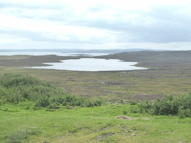
Burra Voe
Burra Voe (Old Norse: Borgavagr, Broch Bay) is sheltered bay (voe) at the southeast corner of the island of Yell. The village of Burravoe (HU525795) is...

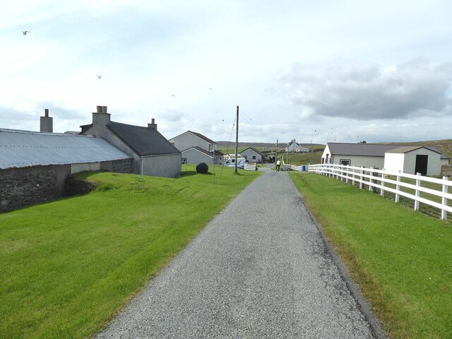
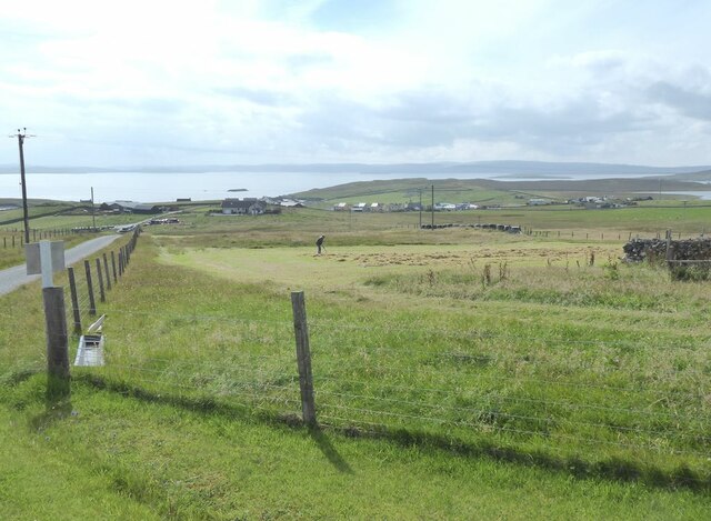
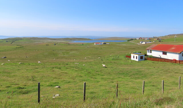
Burravoe
Burravoe is a community on the north shore of Burra Voe, in the south-east part of the island of Yell in the Shetland Islands, Scotland. The name Burravoe...

Old Haa Museum
The Old Haa of Brough in located in Burravoe, Yell, Shetland, Scotland. Built for Robert Tyrie, a merchant, in 1672, houses the local museum for Burravoe...

Gossabrough
Gossabrough is a coastal hamlet, wick and ness on the southeast side of the island of Yell, Shetland, Scotland. The Wick of Gossabrough lies between the...

Orfasay
Orfasay (Old Norse: Orfyrisey, meaning "tidal island") is one of the Shetland Islands. == Geography == Orfasay is a tidal island in Yell Sound, connected...

Copister
Copister is a village in Yell. It is a former centre for haaf fishing, and has a shingle beach. == References == Blackadder, Jill Slee (2003). Shetland...

Lunna Holm
Lunna Holm is a small island near Lunna Ness (Mainland, Shetland), in the Shetland Islands. It is 27 metres (89 ft) at its highest point. == Lighthouse... ==

Otterswick
Otterswick is a hamlet on the island of Yell in the Shetland Islands, on the inlet of Otters Wick. It is on the east side of the island. There is also...
Nearby Amenities
Located within 500m of 60.497,-1.045Have you been to Old Haa?
Leave your review of Old Haa below (or comments, questions and feedback).