Sands of Breckon

Beach in Shetland

Scotland

Sands of Breckon

Loch of Papil, Cullivoe
Loch of Papil, Cullivoe Credit: Mike Pennington

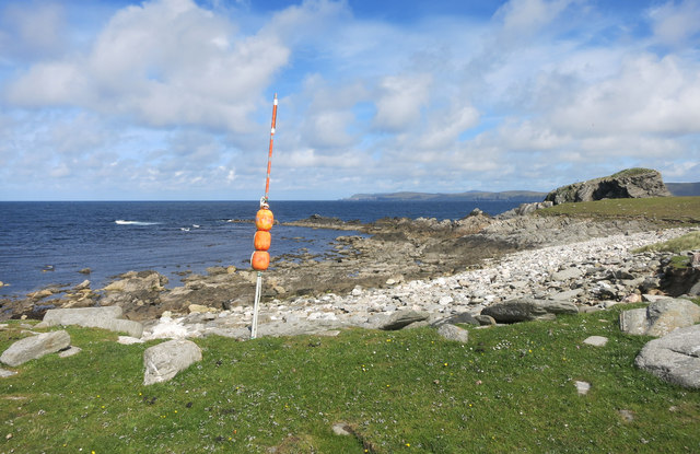
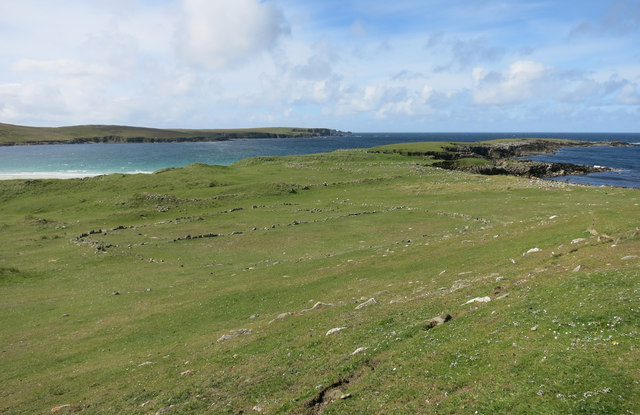
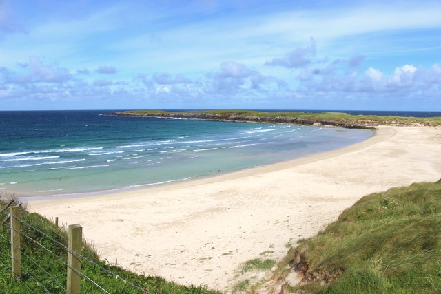
Sands of Breckon is a picturesque beach located on the island of Shetland, off the northern coast of Scotland. Situated on the west side of the island, this beach is renowned for its natural beauty and tranquil atmosphere. With its pristine white sands, clear turquoise waters, and stunning surrounding landscapes, Sands of Breckon is a popular destination for both locals and tourists seeking a peaceful retreat.

The beach stretches over a mile long, offering ample space for visitors to relax, stroll along the shoreline, or engage in various beach activities. The soft sands are perfect for sunbathing, building sandcastles, or enjoying a game of beach volleyball. The crystal-clear waters are inviting, though it is important to note that swimming can be challenging due to the colder temperatures and strong currents.

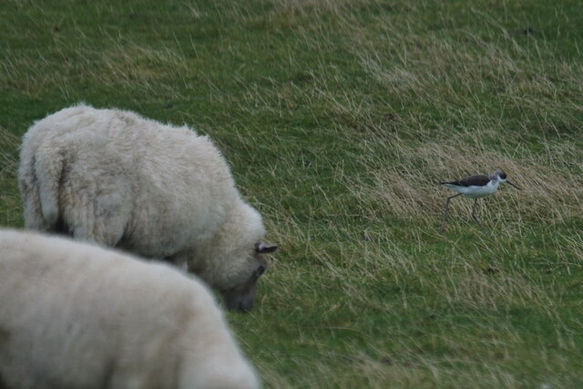
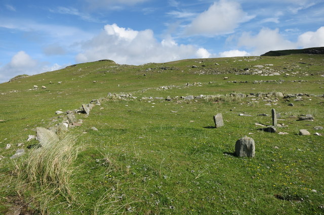
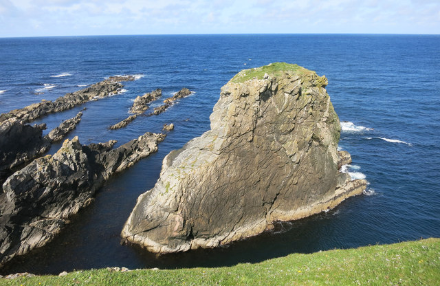
The beach is backed by dramatic sand dunes and rolling grassy hills, adding to its idyllic setting. Visitors can enjoy the breathtaking panoramic views of the surrounding cliffs, rugged coastline, and the vast Atlantic Ocean. Wildlife enthusiasts will also appreciate the diverse birdlife that inhabits the area, including puffins, oystercatchers, and guillemots.

Access to Sands of Breckon is relatively easy, with a nearby car park and a short walk down to the beach. It is advisable to come prepared with appropriate clothing and footwear, as the weather on Shetland can be changeable. The beach is best enjoyed during the summer months when the temperatures are milder, and the days are longer.

Overall, Sands of Breckon is a hidden gem on the Shetland Islands, offering visitors a tranquil and picturesque escape surrounded by natural beauty.

If you have any feedback on the listing, please let us know in the comments section below.

Sands of Breckon Images

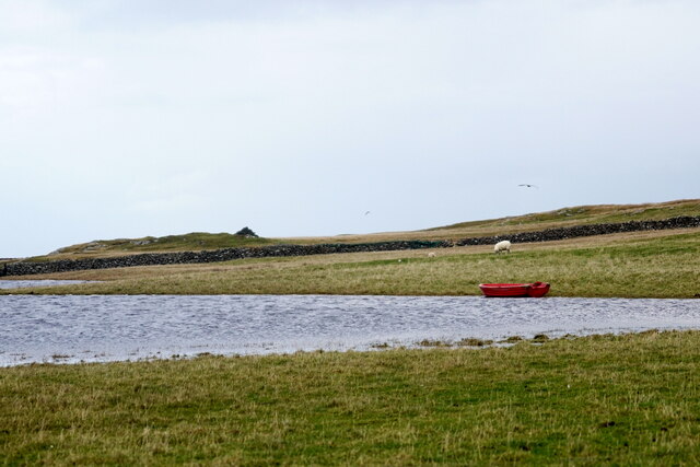
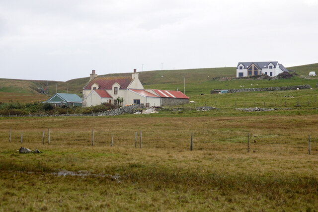
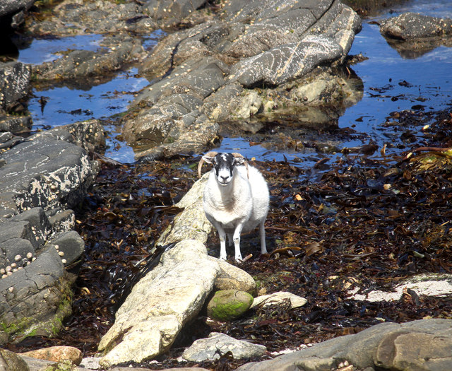
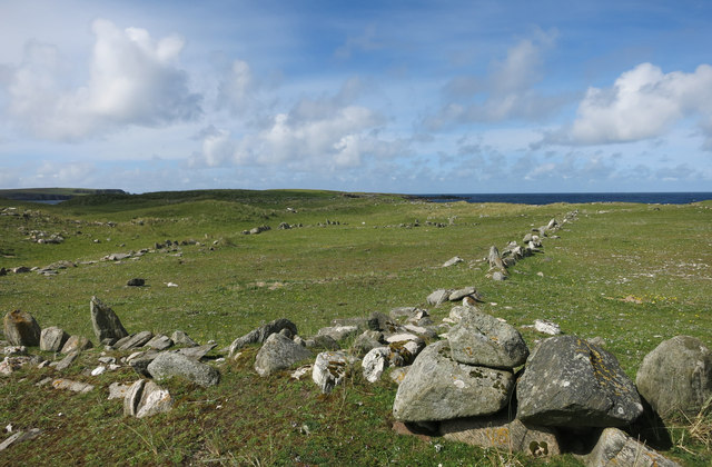
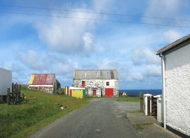
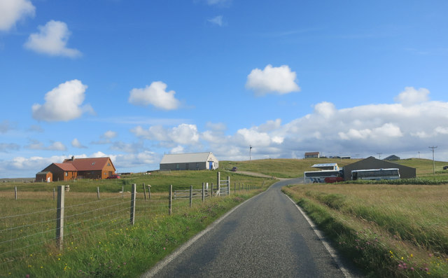
Images are sourced within 2km of 60.72607/-1.0349162 or Grid Reference HP5205. Thanks to Geograph Open Source API. All images are credited.

Loch of Papil, Cullivoe
Houses at Cullivoe
Houses at Cullivoe
Black-winged Pratincole (Himantopus himantopus), feeding with sheep, Papil, Cullivoe Looking rather incongruous feeding in a field and a long way from the Mediterranean.
Black-winged Pratincole (Himantopus himantopus), feeding with sheep, Papil, Cullivoe
Looking rather incongruous feeding in a field and a long way from the Mediterranean.
Sheep in the Seaweed There were quite a few sheep down on the rocks here tucking into this stuff.
Sheep in the Seaweed
There were quite a few sheep down on the rocks here tucking into this stuff.
Rocky Shore, Ness of Houlland On one side of the Ness of Houlland is the beautiful Breckon Sands beach. On the other side, the shoreline reverts to being less hospitable. 
The orange thing is some of the assorted fishing debris that washes up from time to time.
Rocky Shore, Ness of Houlland
On one side of the Ness of Houlland is the beautiful Breckon Sands beach. On the other side, the shoreline reverts to being less hospitable. The orange thing is some of the assorted fishing debris that washes up from time to time.
Site of a Settlement, Ness of Houlland This is the site of a big area of archaeological remains. This view shows the large enclosure at the centre of the site. Closer to, the outlines of huts and buildings are easy to find.
Some of it has already vanished into the sea from erosion.
Site of a Settlement, Ness of Houlland
This is the site of a big area of archaeological remains. This view shows the large enclosure at the centre of the site. Closer to, the outlines of huts and buildings are easy to find. Some of it has already vanished into the sea from erosion.
Ancient Walls Part of a large settlement site near the Sands of Breckon.
Ancient Walls
Part of a large settlement site near the Sands of Breckon.
Birrier Stack A small island with a spot height of 23 metres marked on the map.
It looks like it should be more, somehow.
Birrier Stack
A small island with a spot height of 23 metres marked on the map. It looks like it should be more, somehow.
Ancient Walls 2 Another view on this ancient settlement site.
Ancient Walls 2
Another view on this ancient settlement site.
Sands of Breckon
Sands of Breckon
Fencepost with a hat on Not being from round here, when I first saw this I thought somebody had been messing about, but then I noticed a lot of other posts topped with assorted buckets, boxes, hard hats etc.
I guess it protects the wood against rain soaking down the grain and rotting the post.
Good idea.
Fencepost with a hat on
Not being from round here, when I first saw this I thought somebody had been messing about, but then I noticed a lot of other posts topped with assorted buckets, boxes, hard hats etc. I guess it protects the wood against rain soaking down the grain and rotting the post. Good idea.
Skulls on a Tomb, St Olaf's Churchyard The remains of St Olaf's church are just beyond this rather creepy old tomb with its skulls and bones.
St Olaf (995-1030) was a king of Norway. There is a long page about him on Wikipedia <span class="nowrap"><a title="https://en.wikipedia.org/wiki/Olaf_II_of_Norway" rel="nofollow ugc noopener" href="https://en.wikipedia.org/wiki/Olaf_II_of_Norway">Link</a><img style="margin-left:2px;" alt="External link" title="External link - shift click to open in new window" src="https://s1.geograph.org.uk/img/external.png" width="10" height="10"/></span>. which suggests that he wasn't exactly up there with the apostles in the league of saintliness, but as he is the Patron saint of Norway I will tactfully leave it there.
Skulls on a Tomb, St Olaf's Churchyard
The remains of St Olaf's church are just beyond this rather creepy old tomb with its skulls and bones. St Olaf (995-1030) was a king of Norway. There is a long page about him on Wikipedia LinkExternal link. which suggests that he wasn't exactly up there with the apostles in the league of saintliness, but as he is the Patron saint of Norway I will tactfully leave it there.
Kirk Loch From St Olaf's Churchyard.
Kirk Loch
From St Olaf's Churchyard.
A Bit of Colour at Midbrake A touch of random decorating along the road to Breckon Sands.
A Bit of Colour at Midbrake
A touch of random decorating along the road to Breckon Sands.
Parking Notice at Breckon The usual beach car park was being used by farm vehicles today, bringing in the hay crop.
We were re directed into someone's back yard.
Parking Notice at Breckon
The usual beach car park was being used by farm vehicles today, bringing in the hay crop. We were re directed into someone's back yard.
Buildings at Moarfield The white building centre shot is the Cullivoe galley shed, with Jamiesons' bus garage on the right.
Buildings at Moarfield
The white building centre shot is the Cullivoe galley shed, with Jamiesons' bus garage on the right.
A field of flowers at Breckon Correct me if I'm wrong but I believe this is Machair, where wind blown sand mixes with peat to form good pasture.
That's what it was on Tiree anyway. It may be called something else here.
A field of flowers at Breckon
Correct me if I'm wrong but I believe this is Machair, where wind blown sand mixes with peat to form good pasture. That's what it was on Tiree anyway. It may be called something else here.
The road to the beach This leads to the Sands of Breckon, visible in the distance.
The road to the beach
This leads to the Sands of Breckon, visible in the distance.
Show me another place!

Sands of Breckon is located at Grid Ref: HP5205 (Lat: 60.72607, Lng: -1.0349162)

Unitary Authority: Shetland Islands

Police Authority: Highlands and Islands

What 3 Words

///vies.bulky.spenders. Near Gutcher, Shetland Islands

Related Wikis

Gloup

Note: Gloup is common in Scottish placenames referring to a sea jet. Gloup is a village in the far north of the island of Yell in the Shetland Islands...

Cullivoe

Cullivoe (Old Norse: Kollavágr - Bay of Kolli), is a village on Yell in the Shetland Islands. It is in the north east of the island, near Bluemull Sound...

Brough Holm

Brough Holm is a small island off Unst, in the North Isles of Shetland. It is off Westing, which as the name implies is on the west coast of Unst. The...

St Olaf's Church, Unst

St Olaf's Church, Unst is a ruined medieval church located on the island of Unst, in Shetland, Scotland, UK. The church was built in the Celtic style,...

Nearby Amenities

Located within 500m of 60.72607,-1.0349162
Breckon
Place: hamlet
Lat/Long: 60.7237198/-1.0377556
Power: pole
Lat/Long: 60.7226143/-1.035574
Power: pole
Lat/Long: 60.7223297/-1.0330741
Power: pole
Lat/Long: 60.722488/-1.0344984
Power: pole
Lat/Long: 60.7221877/-1.0318216
Power: pole
Lat/Long: 60.7228399/-1.0368373
Power: pole
Lat/Long: 60.7224113/-1.0366656
Power: pole
Lat/Long: 60.7222224/-1.037717
Power: pole
Lat/Long: 60.7220309/-1.0387712
Power: pole
Lat/Long: 60.7217896/-1.0372825
Power: pole
Lat/Long: 60.7231603/-1.036958
Power: pole
Lat/Long: 60.7220232/-1.0387191
Power: pole
Lat/Long: 60.7234897/-1.0370819
Power: pole
Lat/Long: 60.721789/-1.0359962
The data included in this document is from www.openstreetmap.org. The data is made available under ODbL.

Have you been to Sands of Breckon?

Leave your review of Sands of Breckon below (or comments, questions and feedback).