Inner Virdik
Coastal Feature, Headland, Point in Shetland
Scotland
Inner Virdik
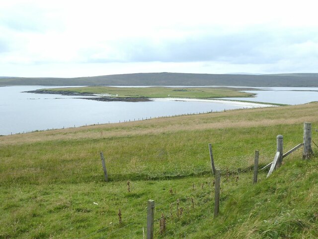
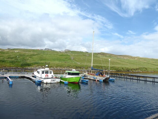
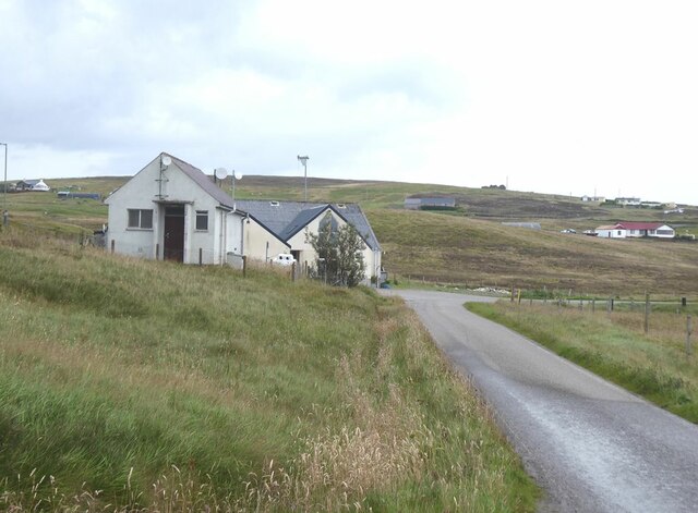
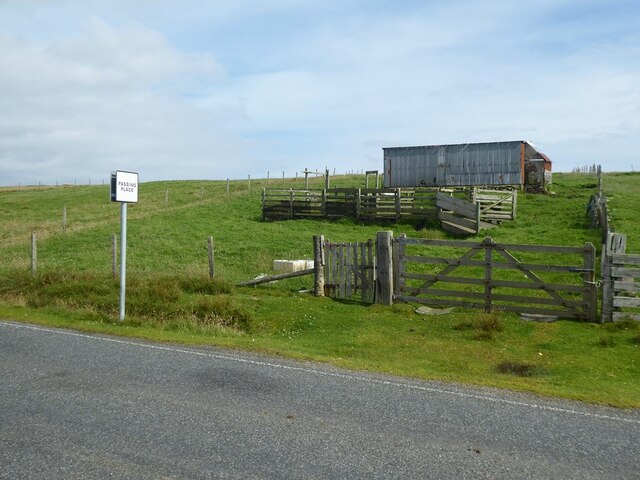
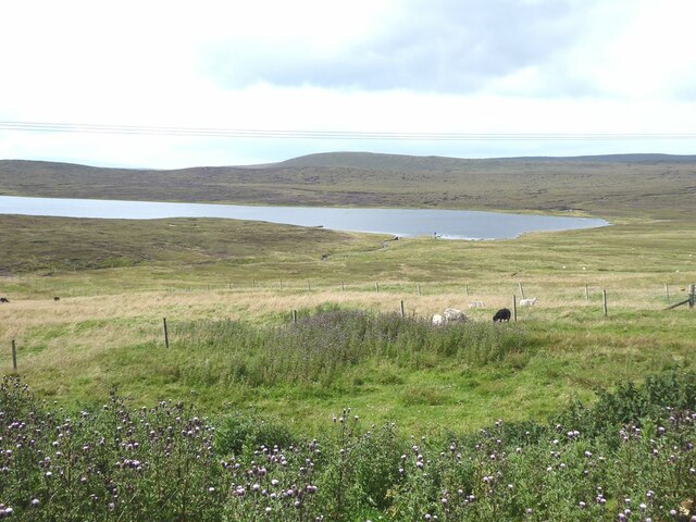
Inner Virdik is a prominent coastal feature located on the Shetland Islands, an archipelago in Scotland. Situated on the eastern coast, Inner Virdik is a headland point that juts out into the North Sea. It is characterized by its rugged and dramatic cliffs, rising steeply from the sea, and offering breathtaking views of the surrounding coastline.
The headland is formed by the erosion of the underlying rock, predominantly composed of sedimentary layers, which have been shaped by centuries of wave action and weathering. The exposed cliffs showcase a variety of geological formations, including sandstone, shale, and limestone, providing a fascinating insight into the region's geological history.
Inner Virdik is a popular destination for nature enthusiasts, hikers, and photographers, who are drawn to its stunning natural beauty and unique wildlife. The headland is home to a diverse range of seabird colonies, including puffins, guillemots, and razorbills, which nest in the cliff crevices during the breeding season. Visitors can observe these captivating creatures in their natural habitat, as well as other marine life such as seals and dolphins, which can often be spotted swimming offshore.
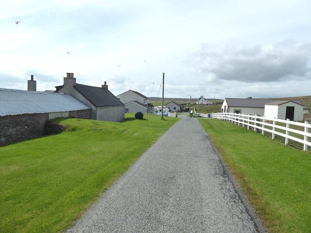
Access to Inner Virdik is relatively straightforward, with a well-maintained coastal path leading to the headland. However, caution is advised when exploring the cliffs, as they can be unstable and dangerous. It is recommended to stay on designated paths and follow any safety guidelines provided by local authorities.
Overall, Inner Virdik is a spectacular coastal feature, offering a glimpse into the untamed beauty of Shetland's coastline and providing a haven for wildlife enthusiasts and nature lovers alike.
If you have any feedback on the listing, please let us know in the comments section below.
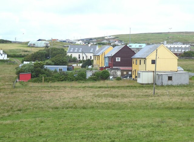
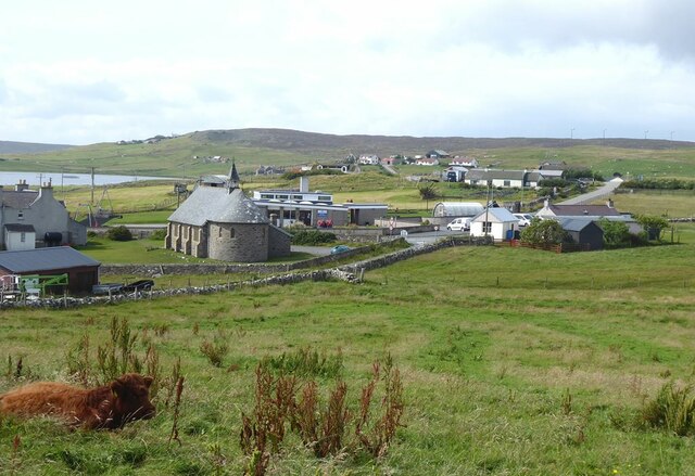
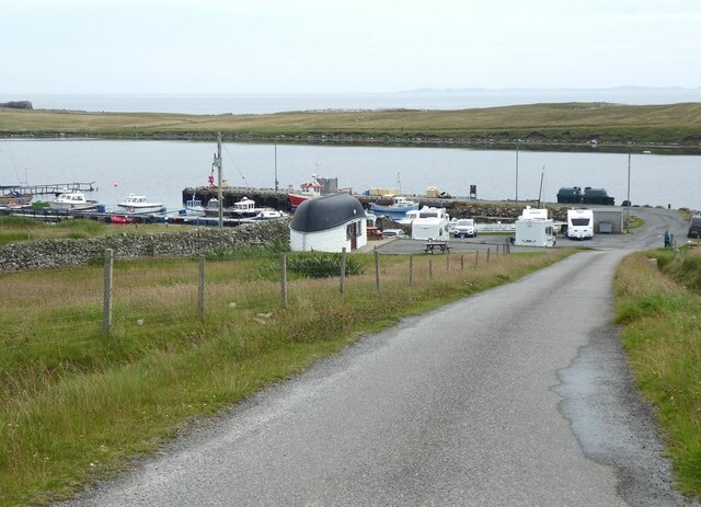
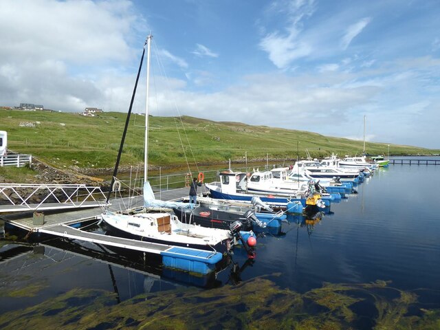
Inner Virdik Images
Images are sourced within 2km of 60.492545/-1.0532009 or Grid Reference HU5279. Thanks to Geograph Open Source API. All images are credited.

Inner Virdik is located at Grid Ref: HU5279 (Lat: 60.492545, Lng: -1.0532009)
Unitary Authority: Shetland Islands
Police Authority: Highlands and Islands
What 3 Words
///wink.butterfly.gateway. Near Ulsta, Shetland Islands
Nearby Locations
Related Wikis

Old Haa Museum
The Old Haa of Brough in located in Burravoe, Yell, Shetland, Scotland. Built for Robert Tyrie, a merchant, in 1672, houses the local museum for Burravoe...

Burravoe
Burravoe is a community on the north shore of Burra Voe, in the south-east part of the island of Yell in the Shetland Islands, Scotland. The name Burravoe...

Burra Voe
Burra Voe (Old Norse: Borgavagr, Broch Bay) is sheltered bay (voe) at the southeast corner of the island of Yell. The village of Burravoe (HU525795) is...

Orfasay
Orfasay (Old Norse: Orfyrisey, meaning "tidal island") is one of the Shetland Islands. == Geography == Orfasay is a tidal island in Yell Sound, connected...

Copister
Copister is a village in Yell. It is a former centre for haaf fishing, and has a shingle beach. == References == Blackadder, Jill Slee (2003). Shetland...

Gossabrough
Gossabrough is a coastal hamlet, wick and ness on the southeast side of the island of Yell, Shetland, Scotland. The Wick of Gossabrough lies between the...

Lunna Holm
Lunna Holm is a small island near Lunna Ness (Mainland, Shetland), in the Shetland Islands. It is 27 metres (89 ft) at its highest point. == Lighthouse... ==

Ulsta
Ulsta is a village in the south-west of the island of Yell, Shetland, Scotland. North Ness Hall is the local community facility. The car ferry to Toft...
Nearby Amenities
Located within 500m of 60.492545,-1.0532009Have you been to Inner Virdik?
Leave your review of Inner Virdik below (or comments, questions and feedback).