Camas Dubh
Bay in Ross-shire
Scotland
Camas Dubh
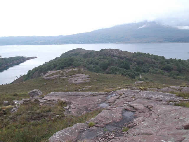
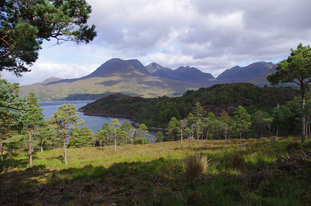
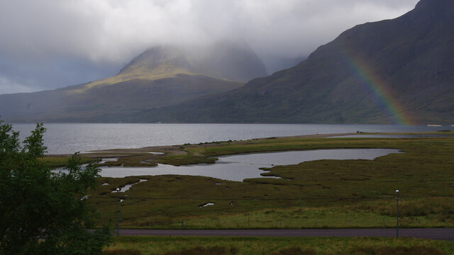
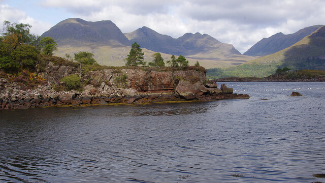
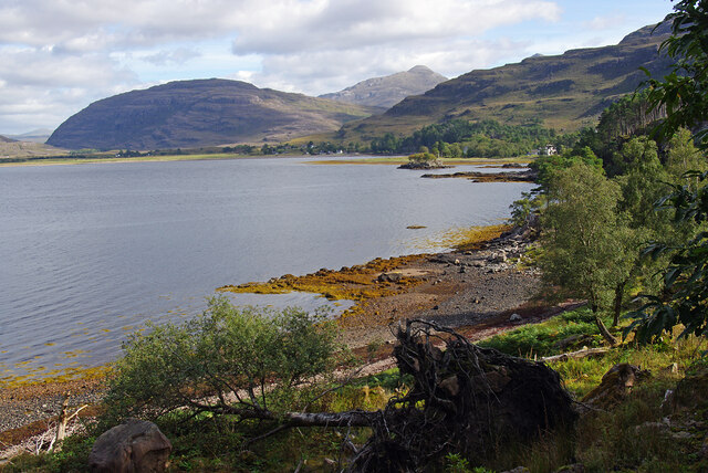
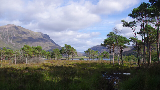
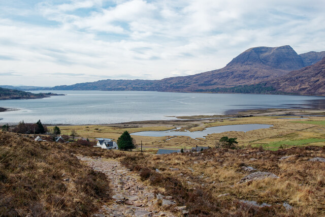
Camas Dubh is a picturesque bay located in the county of Ross-shire, Scotland. Situated on the western coast of the country, this bay offers stunning views of the surrounding landscape and is a popular destination for nature enthusiasts and outdoor lovers.
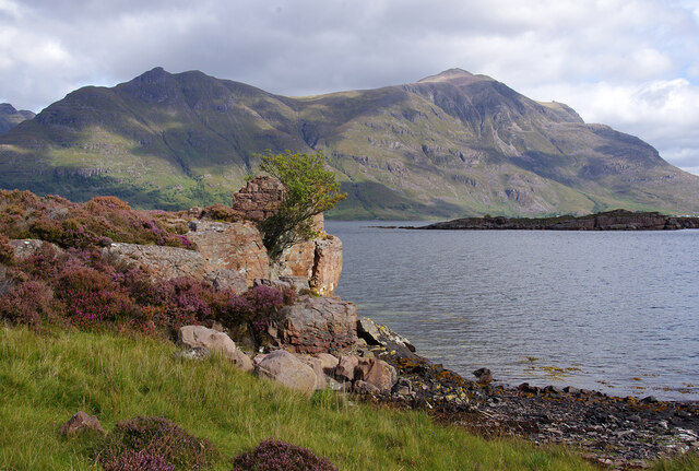
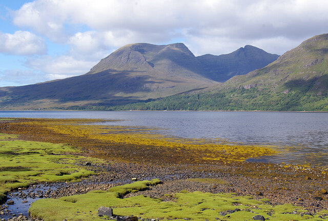
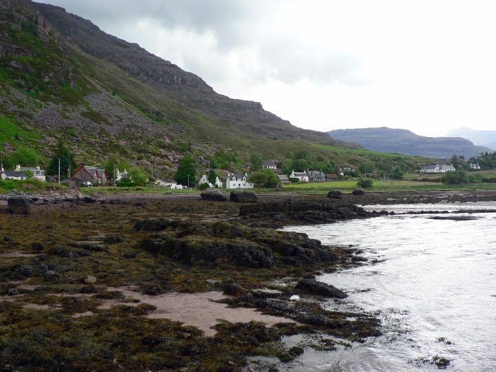
The name Camas Dubh translates to "black bay" in Gaelic, which accurately describes the dark sandy beach found at the bay's edge. The beach is flanked by rugged cliffs and framed by lush green hills, creating a dramatic and enchanting backdrop.
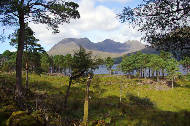
The bay is known for its rich biodiversity and is home to a diverse range of marine and bird species. Visitors can often spot seals lounging on the rocks or dolphins playing in the crystal-clear waters. The area is also frequented by various bird species, including gulls, cormorants, and even the occasional osprey.
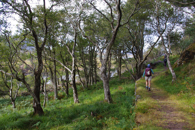
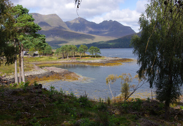
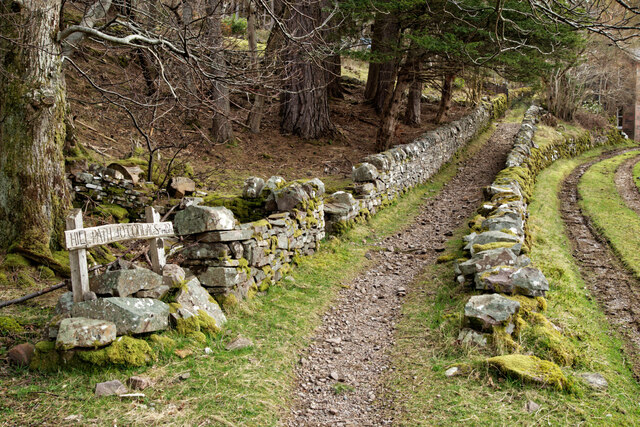
Camas Dubh is a haven for outdoor activities such as hiking, bird watching, and photography. There are several walking trails that lead visitors along the coastline, offering breathtaking panoramic views of the bay and its surroundings. The bay is also a popular spot for kayaking and paddleboarding, allowing visitors to explore the bay's hidden coves and sea caves.
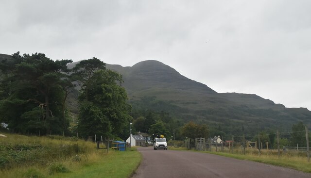
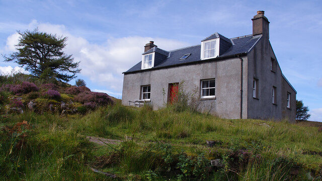
The nearby village of Ross-shire offers a range of amenities and accommodations for those looking to stay in the area. Local restaurants serve fresh seafood, allowing visitors to savor the flavors of the region. Overall, Camas Dubh is a hidden gem in Ross-shire, offering a tranquil escape and an opportunity to immerse oneself in Scotland's natural beauty.
If you have any feedback on the listing, please let us know in the comments section below.
Camas Dubh Images
Images are sourced within 2km of 57.53438/-5.5462719 or Grid Reference NG8754. Thanks to Geograph Open Source API. All images are credited.

Camas Dubh is located at Grid Ref: NG8754 (Lat: 57.53438, Lng: -5.5462719)
Unitary Authority: Highland
Police Authority: Highlands and Islands
What 3 Words
///delighted.hoping.palm. Near Lochcarron, Highland
Nearby Locations
Related Wikis

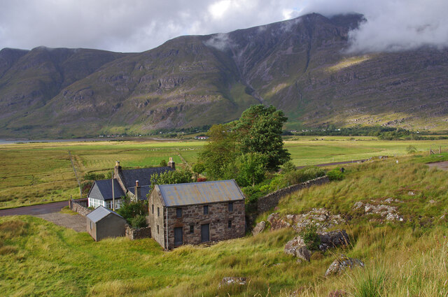
Annat, Highland
Annat (Scottish Gaelic: An Annaid) is a small village at the eastern end of Upper Loch Torridon in Wester Ross, in the Highland council area of Scotland...

Torridon Hills
The Torridon Hills surround Torridon village in the Northwest Highlands of Scotland. The name is usually applied to the mountains to the north of Glen...
Torridon
Torridon (Scottish Gaelic: Toirbheartan) is a small village in the Northwest Highlands of Scotland. However the name is also applied to the area surrounding...
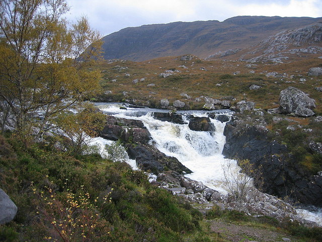
Falls of Balgy
Falls of Balgy is a waterfall near Torridon in Scotland. == See also == Waterfalls of Scotland == References ==
Have you been to Camas Dubh?
Leave your review of Camas Dubh below (or comments, questions and feedback).