Glac na Bò Chaisean
Valley in Ross-shire
Scotland
Glac na Bò Chaisean
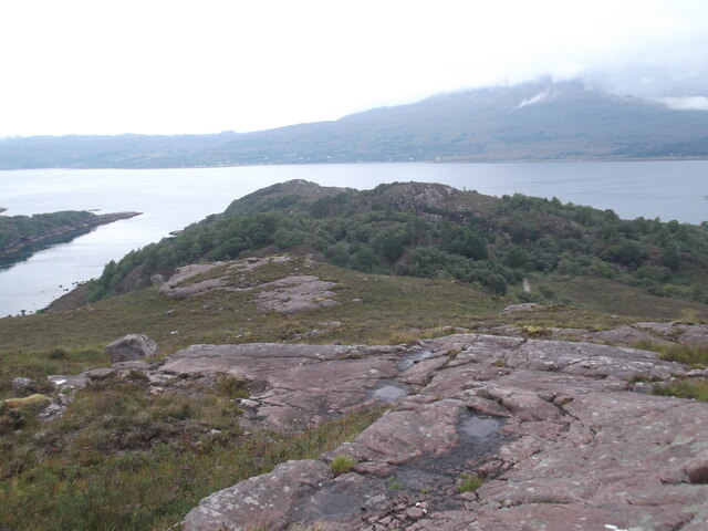
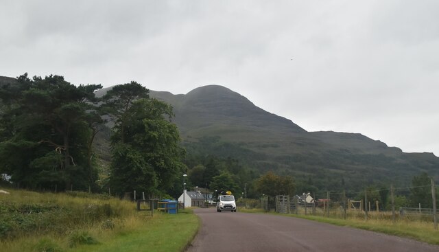
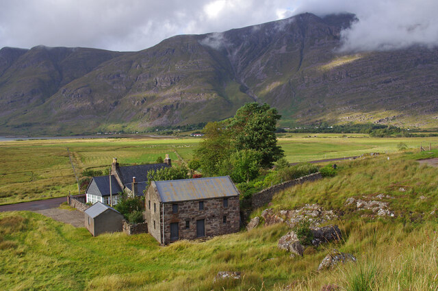
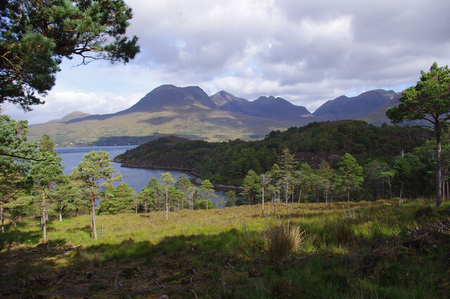
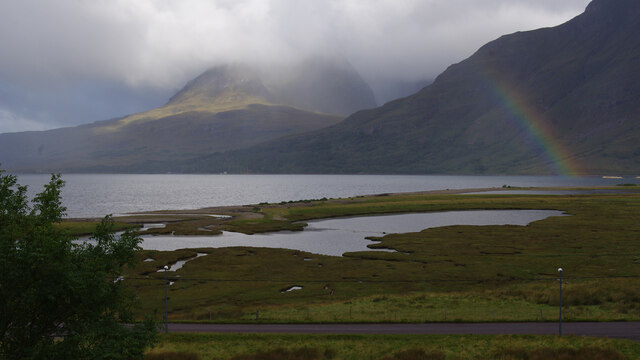
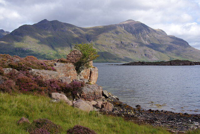
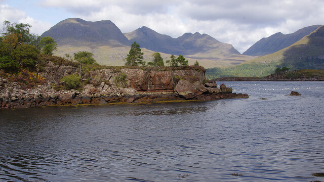
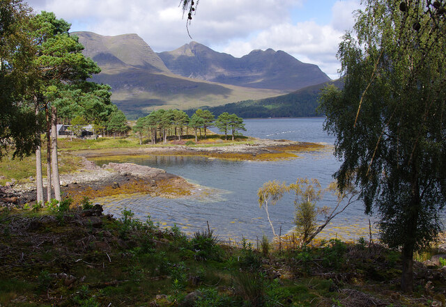
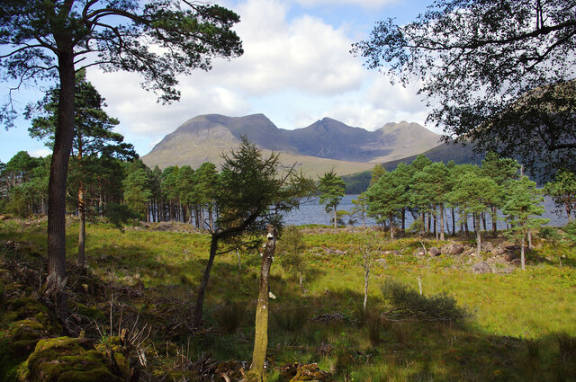
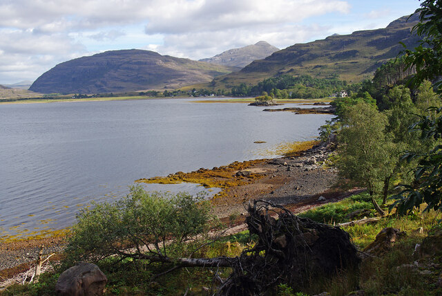
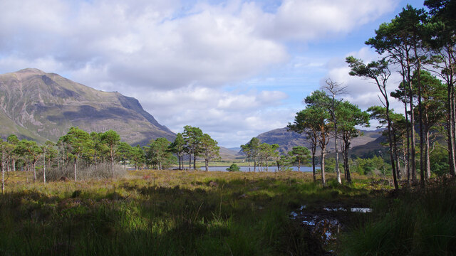
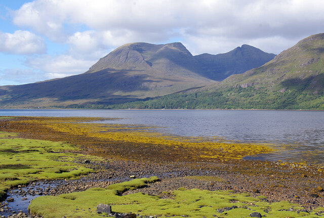
Glac na Bò Chaisean is a stunning valley located in Ross-shire, Scotland. Nestled between the rugged hills of the Scottish Highlands, the valley is known for its dramatic scenery and natural beauty. Glac na Bò Chaisean is surrounded by towering mountains, lush green forests, and crystal-clear streams that flow through the valley.
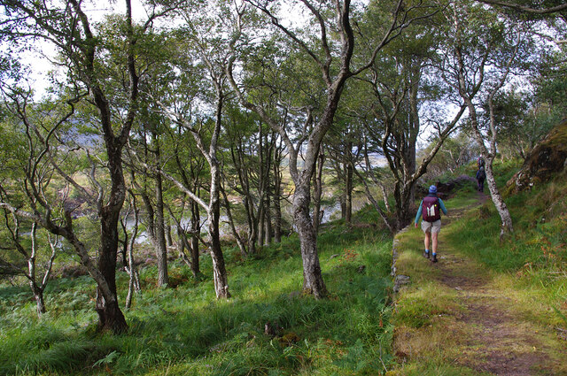
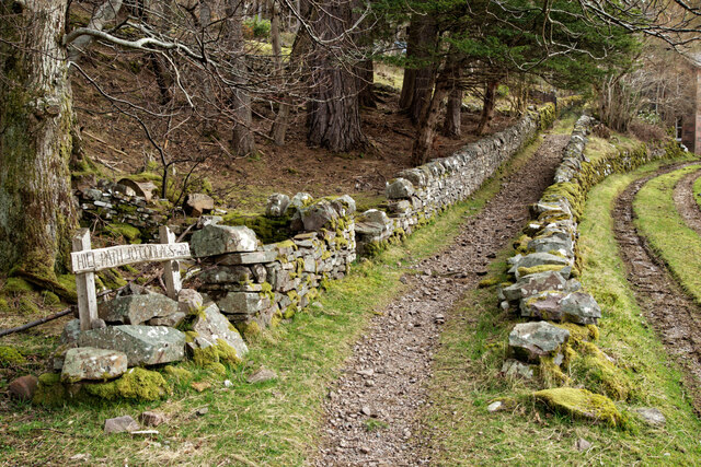
The valley is a popular destination for hikers and nature enthusiasts, with many walking trails and paths that offer breathtaking views of the surrounding landscape. The area is also home to a diverse range of wildlife, including red deer, golden eagles, and otters.
In addition to its natural beauty, Glac na Bò Chaisean is also steeped in history and folklore. The valley is dotted with ancient ruins and historical sites, including prehistoric stone circles and burial mounds. Local legends tell of ancient battles and mythical creatures that once roamed the valley.
Overall, Glac na Bò Chaisean is a place of great natural and cultural significance, offering visitors a unique opportunity to explore the beauty and history of the Scottish Highlands.
If you have any feedback on the listing, please let us know in the comments section below.
Glac na Bò Chaisean Images
Images are sourced within 2km of 57.530232/-5.5438297 or Grid Reference NG8754. Thanks to Geograph Open Source API. All images are credited.
Glac na Bò Chaisean is located at Grid Ref: NG8754 (Lat: 57.530232, Lng: -5.5438297)
Unitary Authority: Highland
Police Authority: Highlands and Islands
What 3 Words
///satellite.bashed.scornful. Near Lochcarron, Highland
Nearby Locations
Related Wikis

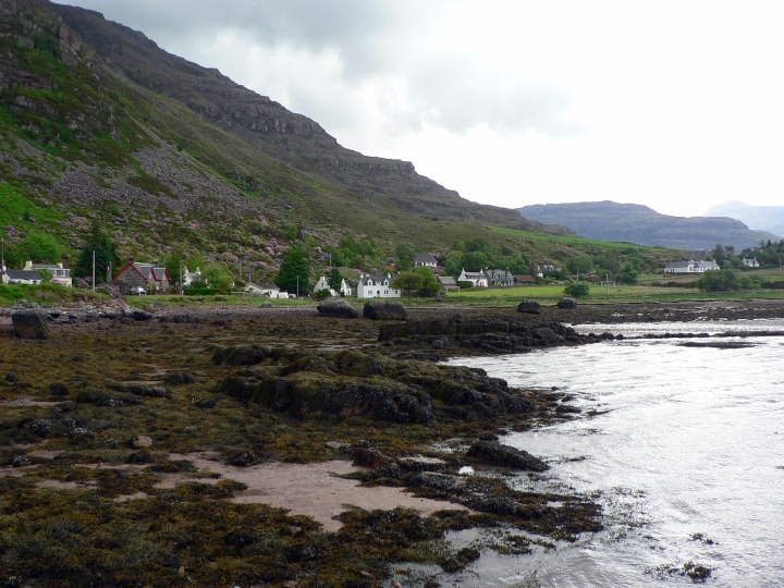
Annat, Highland
Annat (Scottish Gaelic: An Annaid) is a small village at the eastern end of Upper Loch Torridon in Wester Ross, in the Highland council area of Scotland...

Torridon Hills
The Torridon Hills surround Torridon village in the Northwest Highlands of Scotland. The name is usually applied to the mountains to the north of Glen...
Torridon
Torridon (Scottish Gaelic: Toirbheartan) is a small village in the Northwest Highlands of Scotland. However the name is also applied to the area surrounding...
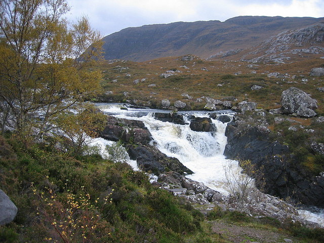
Falls of Balgy
Falls of Balgy is a waterfall near Torridon in Scotland. == See also == Waterfalls of Scotland == References ==
Nearby Amenities
Located within 500m of 57.530232,-5.5438297Have you been to Glac na Bò Chaisean?
Leave your review of Glac na Bò Chaisean below (or comments, questions and feedback).