Glac an Tobair

Valley in Argyllshire

Scotland

Glac an Tobair

Glengalmadale River
Glengalmadale River Credit: Steven Brown

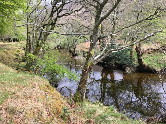
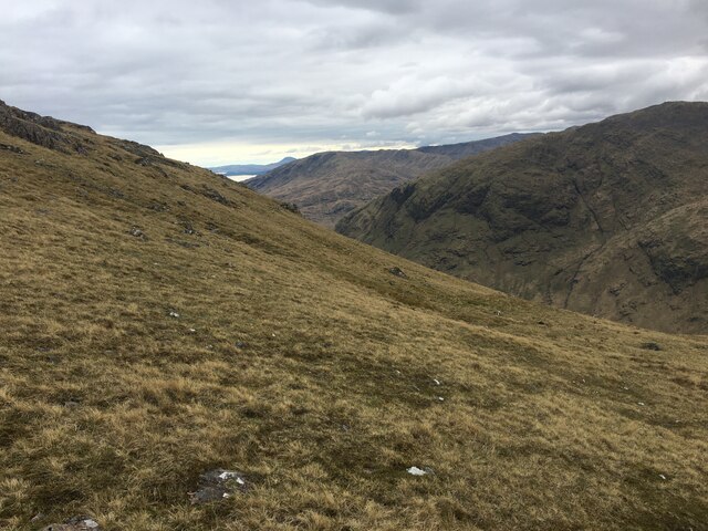
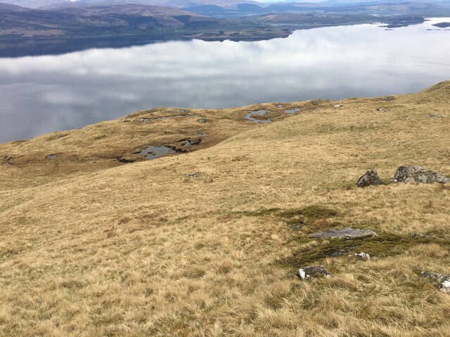
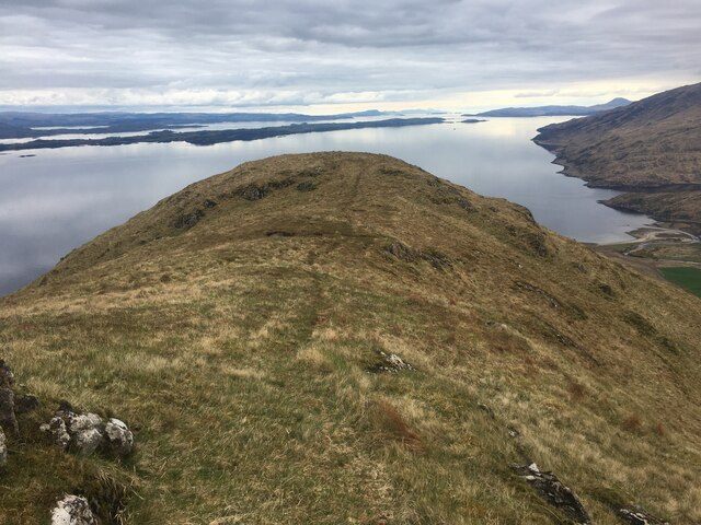
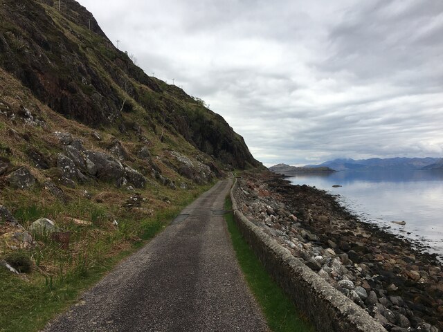
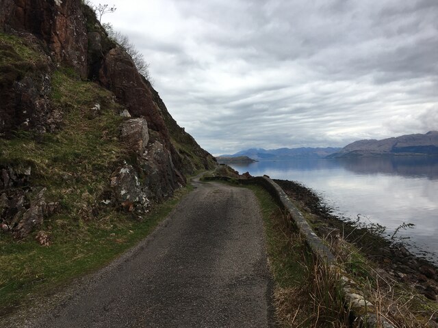
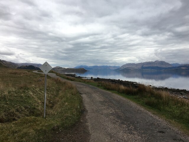
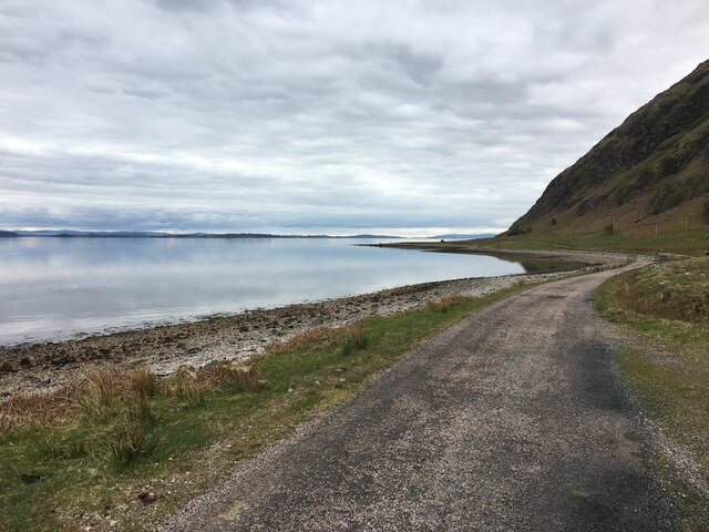
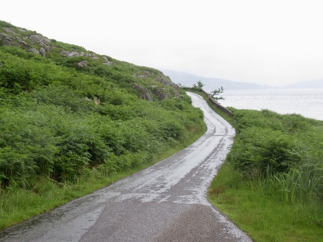
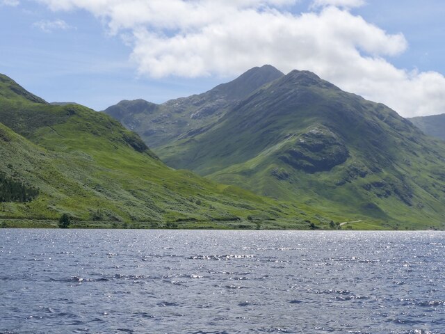
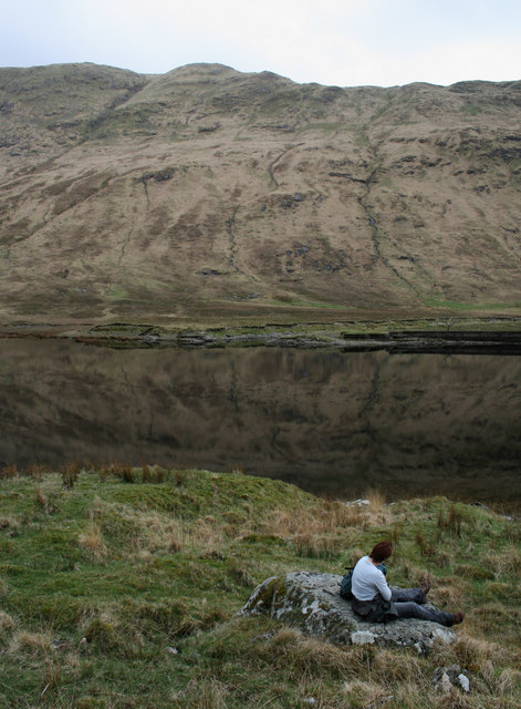
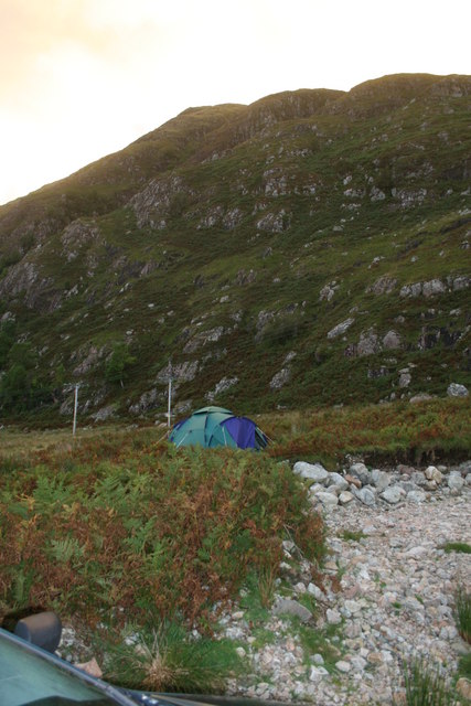
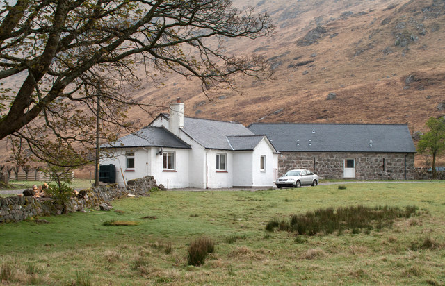
Glac an Tobair, located in Argyllshire, Scotland, is a picturesque valley known for its stunning natural beauty and rugged terrain. The valley is surrounded by towering mountains and lush greenery, creating a serene and tranquil atmosphere for visitors to enjoy.

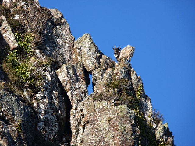
Glac an Tobair is home to a variety of wildlife, including deer, birds, and other native species, making it a popular destination for nature lovers and outdoor enthusiasts. The valley is also known for its clear, sparkling streams and rivers, which provide a refreshing contrast to the rugged landscape.

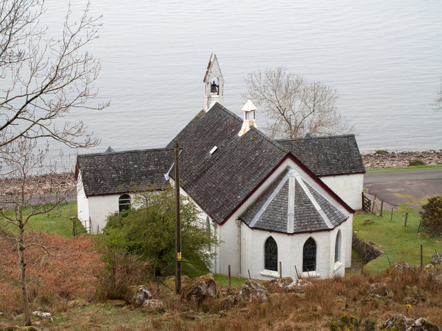
In addition to its natural beauty, Glac an Tobair has a rich history and is home to several ancient archaeological sites, including stone circles and burial mounds. Visitors can explore these sites and learn about the area's fascinating past.

Overall, Glac an Tobair is a hidden gem in Argyllshire, offering visitors a peaceful retreat from the hustle and bustle of everyday life. Whether you're looking to hike, birdwatch, or simply relax in nature, this valley has something to offer for everyone.

If you have any feedback on the listing, please let us know in the comments section below.

Glac an Tobair Images

Images are sourced within 2km of 56.625588/-5.4602521 or Grid Reference NM8753. Thanks to Geograph Open Source API. All images are credited.

Glengalmadale River
Glengalmadale River
Church and bay at Camasnacroise
Grassy slopes above Glen Galmadale
Grassy slopes high above Loch Linnhe
Rough path on Druim na Maodalaich
B8043 road along Loch Linnhe
B8043 alongside Loch Linnhe
B8043, Rubha na h-Àirde Uinnsinn The very spectacular coast road on the west side of Loch Linnhe.
B8043, Rubha na h-Àirde Uinnsinn
The very spectacular coast road on the west side of Loch Linnhe.
Sgùrr Ghiubhsachain The peak on the left of the famous view down Loch Shiel. The facing ridge is a very fine way up.
Sgùrr Ghiubhsachain
The peak on the left of the famous view down Loch Shiel. The facing ridge is a very fine way up.
Beinn na Cille, Kingairloch A view from Appin
Beinn na Cille, Kingairloch
A view from Appin
Druim na Maodalaich's wildlife A wild goat at home on vertical ground
Druim na Maodalaich's wildlife
A wild goat at home on vertical ground
Milepost beside the B8043 at Glengalmadale
Lochan, Glen Galmadale
Wild camping by Allt an t-Salainn
Glengalmadale Glengalmadale as a settlement consists of just two buildings; the farther one is now 'The Steadings', a B & B establishment' The view is from the rough car park close to the bridge over the Glengalmadale River.
Glengalmadale
Glengalmadale as a settlement consists of just two buildings; the farther one is now 'The Steadings', a B & B establishment' The view is from the rough car park close to the bridge over the Glengalmadale River.
Parish church at Camasnacroise Camasnacroise is a tiny settlement and the parish church of Kingairloch one of its few buildings; it was built in 1857. The water beyond is Loch Linnhe.
Parish church at Camasnacroise
Camasnacroise is a tiny settlement and the parish church of Kingairloch one of its few buildings; it was built in 1857. The water beyond is Loch Linnhe.
Show me another place!

Glac an Tobair is located at Grid Ref: NM8753 (Lat: 56.625588, Lng: -5.4602521)

Unitary Authority: Highland

Police Authority: Highlands and Islands

What 3 Words

///popped.commuted.momentous. Near Lochaline, Highland

Nearby Locations

Glac an Tobair

Related Wikis

Creach Bheinn (Morvern)

Creach Bheinn is a prominent mountain in the Morvern area in the west of Scotland. It is less steep and even less frequently climbed than its northern...

Shuna Island

Shuna Island or simply Shuna is an island in Loch Linnhe, offshore from Appin, in Argyll and Bute, Scotland. The island is approximately two kilometres...

A861 road

The A861 road is a circuitous, primarily coastal, road in Lochaber, within the Highland council area of Scotland.The A861 serves the communities of the...

Castle Stalker

Castle Stalker (Scottish Gaelic: Caisteal an Stalcaire) is a four-storey tower house or keep in the Scottish county of Argyll. It is set on a tidal islet...

Nearby Amenities

Located within 500m of 56.625588,-5.4602521
Power: pole
Lat/Long: 56.6218654/-5.4634345
Power: pole
Lat/Long: 56.6222284/-5.4627746
Power: pole
Lat/Long: 56.6227596/-5.4619271
Power: pole
Lat/Long: 56.6233086/-5.4609722
Power: pole
Lat/Long: 56.6237542/-5.4597652
Power: pole
Lat/Long: 56.6241674/-5.4585743
Power: pole
Lat/Long: 56.6248166/-5.4569596
Power: pole
Lat/Long: 56.6251442/-5.4560959
Power: pole
Lat/Long: 56.6257137/-5.4554308
Power: pole
Lat/Long: 56.6262862/-5.4548138
Power: pole
Lat/Long: 56.6267967/-5.4542238
Power: pole
Lat/Long: 56.6274607/-5.453521
Power: pole
Lat/Long: 56.6217178/-5.4633057
Power: pole
Lat/Long: 56.6221709/-5.4625118
Power: pole
Lat/Long: 56.6225973/-5.4617983
Power: pole
Lat/Long: 56.6229854/-5.4608569
Power: pole
Lat/Long: 56.6232422/-5.4602426
Power: pole
Lat/Long: 56.6236258/-5.4593468
Power: pole
Lat/Long: 56.624095/-5.4581693
Power: pole
Lat/Long: 56.6245864/-5.4570991
Power: pole
Lat/Long: 56.6250615/-5.4558116
Power: pole
Lat/Long: 56.6256016/-5.4552537
Power: pole
Lat/Long: 56.626239/-5.4545698
Power: pole
Lat/Long: 56.6267967/-5.4539609
Power: pole
Lat/Long: 56.6274208/-5.4532903
The data included in this document is from www.openstreetmap.org. The data is made available under ODbL.

Have you been to Glac an Tobair?

Leave your review of Glac an Tobair below (or comments, questions and feedback).