Camas Rubha na Liathaig
Bay in Argyllshire
Scotland
Camas Rubha na Liathaig
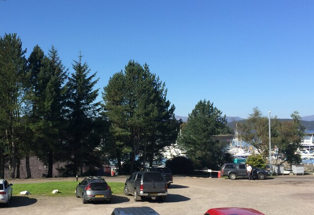
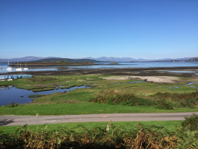
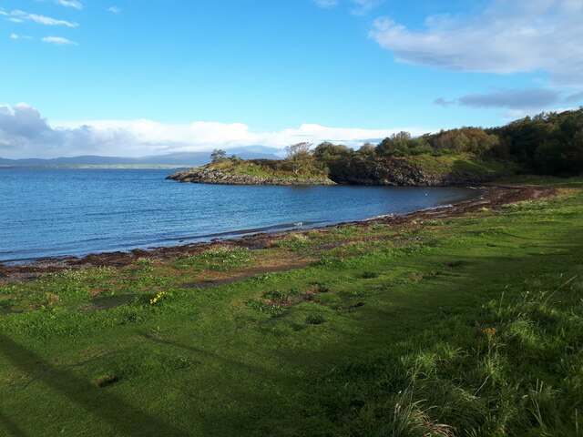
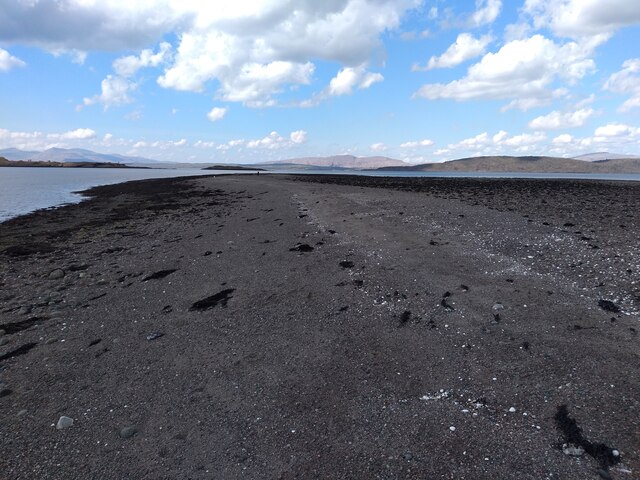
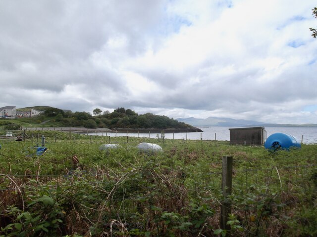
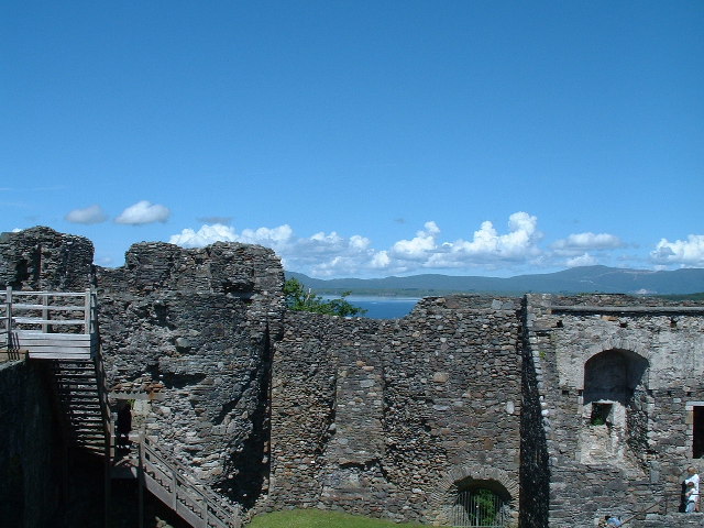
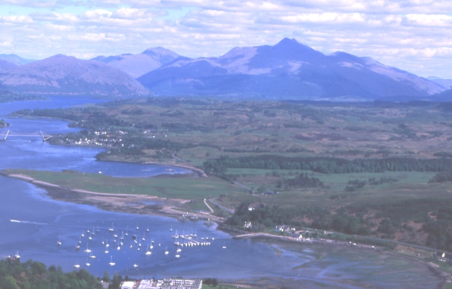
Camas Rubha na Liathaig, located in Argyllshire, Scotland, is a breathtakingly beautiful bay that attracts visitors from near and far. Nestled on the west coast of Scotland, this coastal gem offers a picturesque setting with its stunning sandy beach, crystal-clear turquoise waters, and rugged cliffs.
The bay is known for its unspoiled natural beauty and tranquility. The surrounding landscape is dominated by rolling hills, lush greenery, and heather-covered moorlands. It provides a peaceful and serene escape for those seeking solace in nature.
Camas Rubha na Liathaig is a haven for wildlife enthusiasts and birdwatchers. The area is home to a diverse range of bird species, including oystercatchers, herons, and seals. Visitors can also spot dolphins and porpoises frolicking in the bay, adding to the magical experience.
The bay offers various recreational activities for outdoor enthusiasts. Visitors can indulge in beachcombing, picnicking, or simply relaxing on the sandy shores while taking in the breathtaking views. The clear waters are perfect for swimming, kayaking, and snorkeling, allowing visitors to explore the marine life beneath the surface.
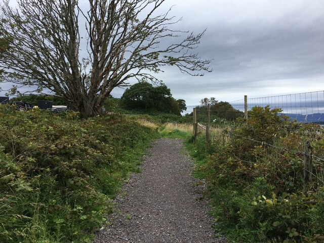
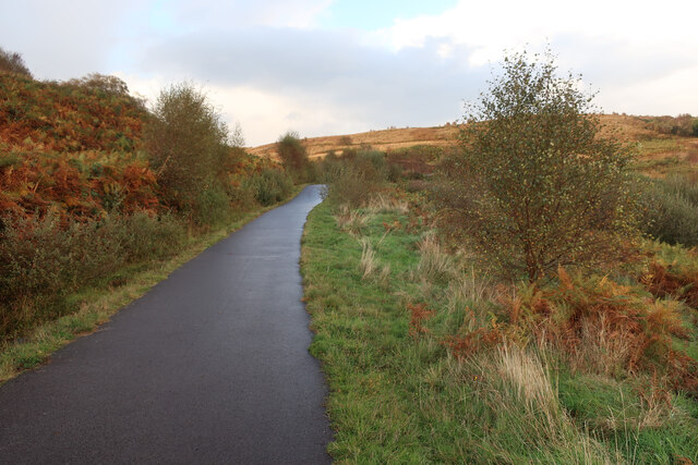
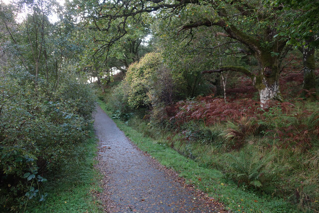
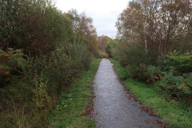
For those keen on exploring further, Camas Rubha na Liathaig is surrounded by numerous hiking trails and coastal paths. These routes showcase the dramatic cliffs, hidden coves, and dramatic seascapes that make this area so remarkable.
In summary, Camas Rubha na Liathaig in Argyllshire is a truly idyllic bay that showcases the natural beauty of Scotland. With its stunning beach, crystal-clear waters, and abundant wildlife, it offers a perfect escape for those looking to immerse themselves in nature and find peace in this secluded corner of the world.
If you have any feedback on the listing, please let us know in the comments section below.
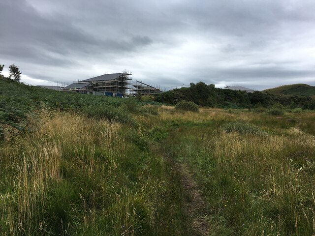
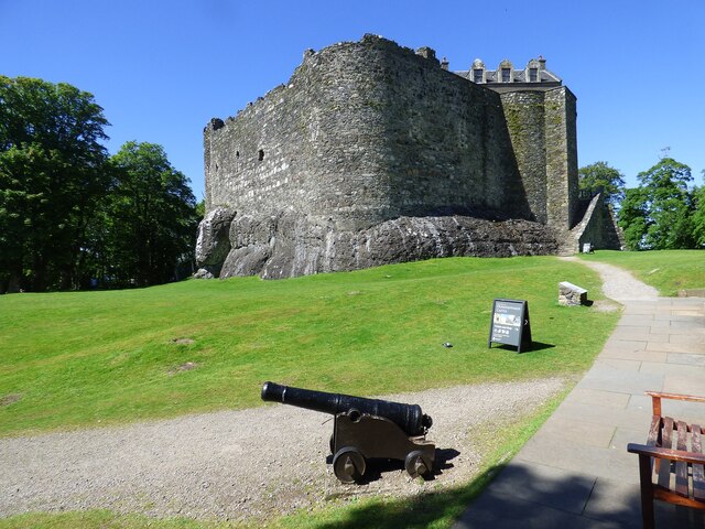
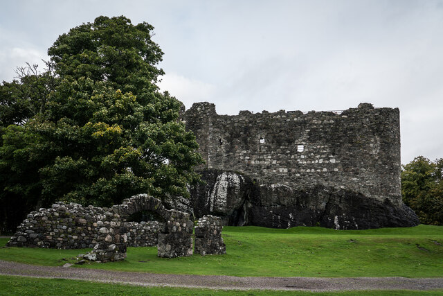
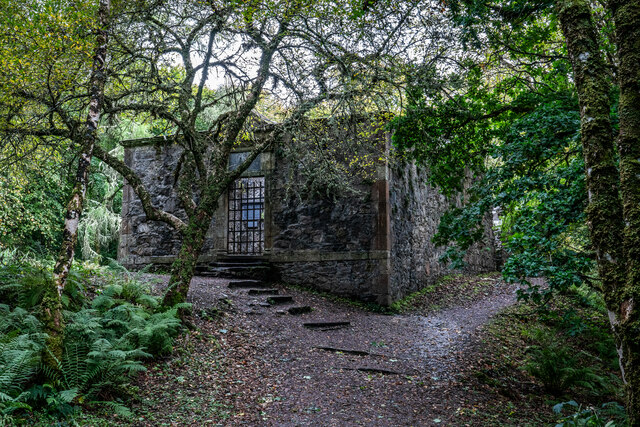
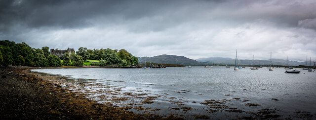
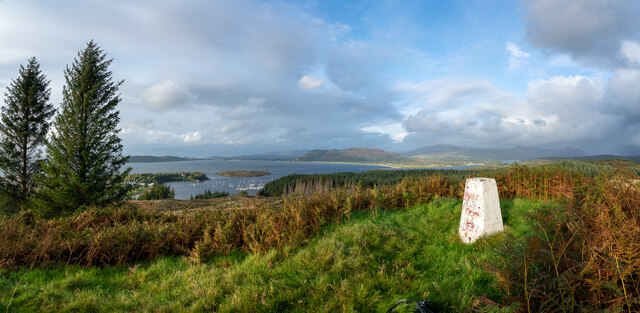
Camas Rubha na Liathaig Images
Images are sourced within 2km of 56.452509/-5.4446791 or Grid Reference NM8734. Thanks to Geograph Open Source API. All images are credited.
Camas Rubha na Liathaig is located at Grid Ref: NM8734 (Lat: 56.452509, Lng: -5.4446791)
Unitary Authority: Argyll and Bute
Police Authority: Argyll and West Dunbartonshire
What 3 Words
///inherit.skewing.help. Near Oban, Argyll & Bute
Nearby Locations
Related Wikis

Scottish Association for Marine Science
The Scottish Association for Marine Science (SAMS) is one of Europe's leading marine science research organisations, one of the oldest oceanographic organisations...
Dunbeg
Dunbeg (Scottish Gaelic: An Dùn Beag), formerly known as Dunstaffnage (Scottish Gaelic: Dùn Stafhainis or Dùn Staidhinis), is a village about 2+1⁄2 miles...
Ganavan
Ganavan (Scottish Gaelic: A' Ghaineamh Bhàn) is a small settlement on Ganavan Bay on the west coast of Scotland, around 1.5 miles (2.4 km) north of the...

Pennyfuir Cemetery
Pennyfuir Cemetery is a cemetery in Oban, Argyll and Bute, Scotland. It was established in the 19th century.The cemetery contains 23 graves from the First...
Nearby Amenities
Located within 500m of 56.452509,-5.4446791Have you been to Camas Rubha na Liathaig?
Leave your review of Camas Rubha na Liathaig below (or comments, questions and feedback).