Rubha na Liathaig
Coastal Feature, Headland, Point in Argyllshire
Scotland
Rubha na Liathaig
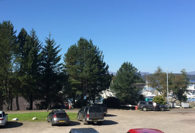
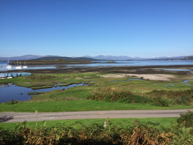
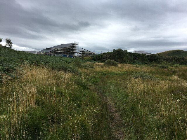
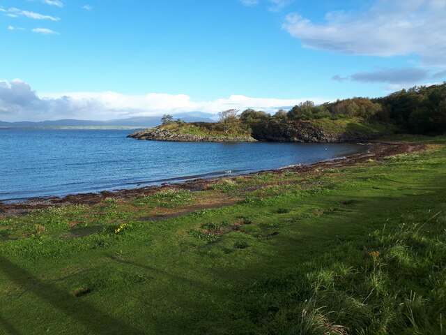
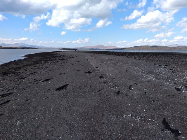
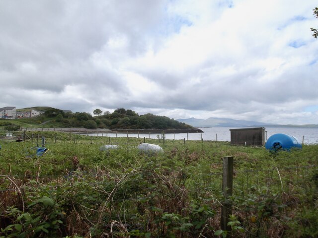
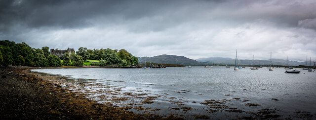
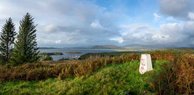
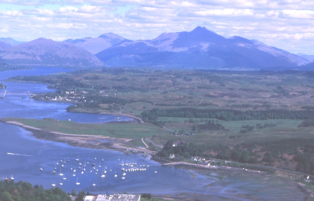
Rubha na Liathaig is a prominent coastal feature located in Argyllshire, Scotland. Situated on the western coast of the country, this headland juts out into the North Atlantic Ocean, offering breathtaking views of the surrounding landscape. With its rugged cliffs and picturesque beaches, Rubha na Liathaig is a popular destination for nature enthusiasts and photographers.
The headland is characterized by its rocky terrain, which has been sculpted over centuries by the relentless waves and strong sea currents. The cliffs at Rubha na Liathaig can reach impressive heights, providing a nesting site for a variety of seabirds, including puffins, guillemots, and razorbills. Birdwatchers flock to this area to observe these magnificent creatures in their natural habitat.
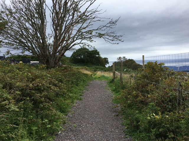
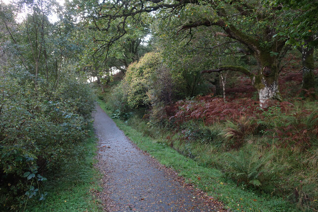
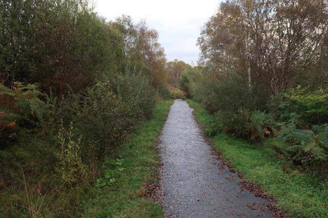
The coastal path that winds around the headland offers stunning vistas of the ocean and nearby islands. On a clear day, visitors can see as far as the Inner Hebrides, adding to the allure of this picturesque location. The path is well-maintained, making it accessible to hikers of all levels of experience.
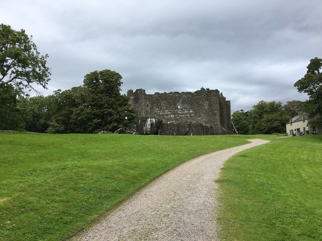
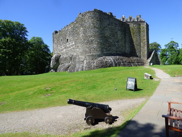
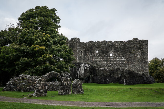
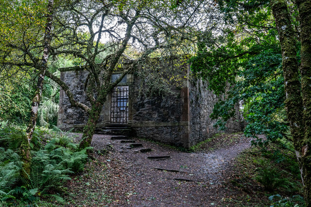
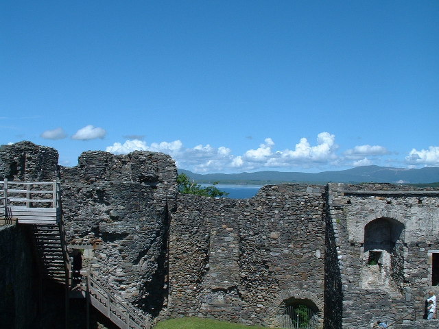
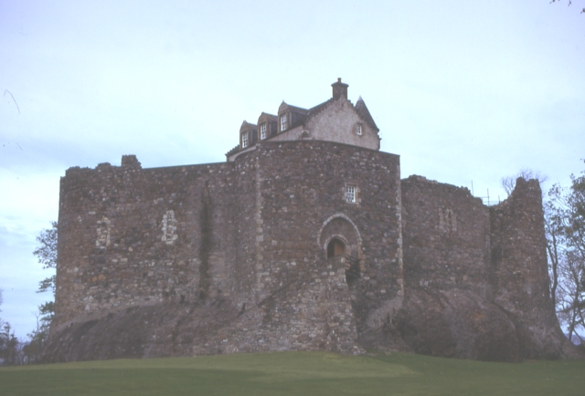
In addition to its natural beauty, Rubha na Liathaig also has historical significance. The area is scattered with ancient ruins and standing stones, providing a glimpse into the region's rich cultural heritage. Exploring these archaeological sites adds a sense of mystery and intrigue to the overall experience.
Overall, Rubha na Liathaig is a captivating coastal feature that showcases the raw beauty of Scotland's western coast. With its dramatic cliffs, diverse wildlife, and historical landmarks, it is a must-visit destination for anyone seeking a true taste of Scotland's natural and cultural wonders.
If you have any feedback on the listing, please let us know in the comments section below.
Rubha na Liathaig Images
Images are sourced within 2km of 56.45365/-5.443711 or Grid Reference NM8734. Thanks to Geograph Open Source API. All images are credited.
Rubha na Liathaig is located at Grid Ref: NM8734 (Lat: 56.45365, Lng: -5.443711)
Unitary Authority: Argyll and Bute
Police Authority: Argyll and West Dunbartonshire
What 3 Words
///motivate.corrects.charts. Near Oban, Argyll & Bute
Nearby Locations
Related Wikis

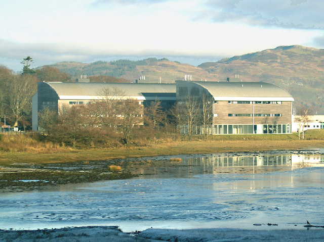
Scottish Association for Marine Science
The Scottish Association for Marine Science (SAMS) is one of Europe's leading marine science research organisations, one of the oldest oceanographic organisations...
Dunbeg
Dunbeg (Scottish Gaelic: An Dùn Beag), formerly known as Dunstaffnage (Scottish Gaelic: Dùn Stafhainis or Dùn Staidhinis), is a village about 2+1⁄2 miles...
Ganavan
Ganavan (Scottish Gaelic: A' Ghaineamh Bhàn) is a small settlement on Ganavan Bay on the west coast of Scotland, around 1.5 miles (2.4 km) north of the...

Oban Airport
Oban Airport (Scottish Gaelic: Port-adhair an Òbain) (IATA: OBN, ICAO: EGEO) is located 5 nautical miles (9.3 km; 5.8 mi) northeast of Oban, near the village...

SS Breda
SS Breda was a Dutch cargo-passenger ship sunk in Scotland during World War II. == Construction == The ship was built at the Nieuwe Waterweg Scheepsbouwmaatschappij...
North Connel
North Connel is a hamlet on the north side of Loch Etive in Argyll and Bute, Scotland. Connel Bridge connects the community to Connel on the south shore...

Pennyfuir Cemetery
Pennyfuir Cemetery is a cemetery in Oban, Argyll and Bute, Scotland. It was established in the 19th century.The cemetery contains 23 graves from the First...

North Connel railway station
North Connel was a railway station located in North Connel, Argyll and Bute, on the north shore of Loch Etive. Its location was at the north end of Connel...
Nearby Amenities
Located within 500m of 56.45365,-5.443711Have you been to Rubha na Liathaig?
Leave your review of Rubha na Liathaig below (or comments, questions and feedback).