Cnoc a' Bhoist
Hill, Mountain in Argyllshire
Scotland
Cnoc a' Bhoist
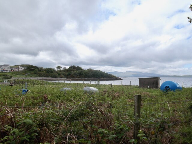
Cnoc a' Bhoist, located in Argyllshire, Scotland, is a prominent hill/mountain that stands at an elevation of approximately 611 meters (2,005 feet). It is situated within the stunning landscape of the Scottish Highlands, offering breathtaking views of the surrounding area.
This impressive hill/mountain is known for its rugged terrain, characterized by steep slopes, rocky outcrops, and scattered vegetation. The slopes are covered in heather, grasses, and patches of moss, creating a vibrant and colorful landscape throughout the year. The hill/mountain is also home to an array of wildlife, including deer, mountain hares, and various bird species.
Cnoc a' Bhoist provides a challenging yet rewarding climb for hikers and mountaineers. The ascent can be demanding, requiring a good level of fitness and experience in hillwalking. However, those who reach the summit are rewarded with panoramic views of the surrounding mountains, lochs, and glens.
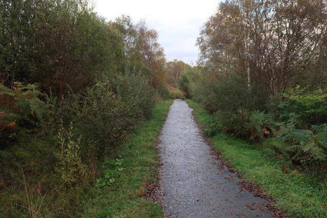
The hill/mountain can be accessed from various starting points, with a number of established hiking trails leading to the top. Some popular routes include starting from the village of Taynuilt or from the nearby Loch Etive. It is advisable to check weather conditions and pack appropriate equipment before embarking on the ascent, as the weather in the Scottish Highlands can be unpredictable.
Cnoc a' Bhoist is a popular destination for outdoor enthusiasts seeking to explore the natural beauty of Argyllshire. Its stunning vistas, challenging terrain, and abundance of wildlife make it a must-visit location for nature lovers and adventure seekers alike.
If you have any feedback on the listing, please let us know in the comments section below.
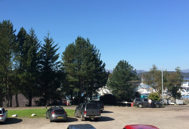
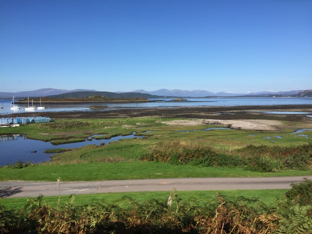
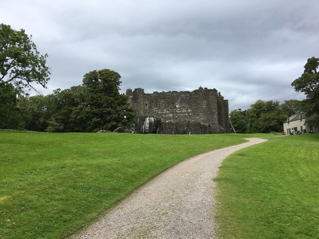
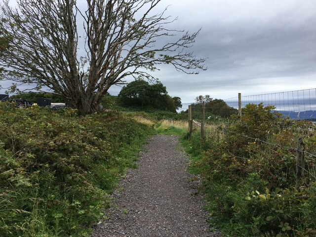
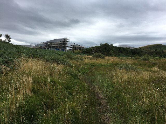
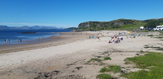
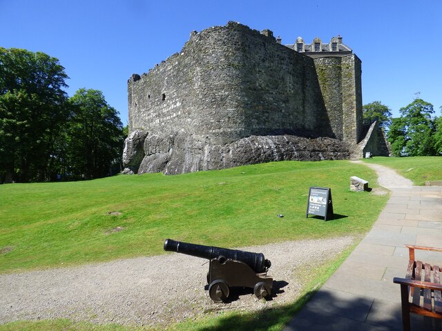
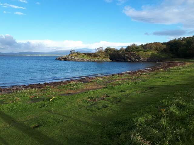
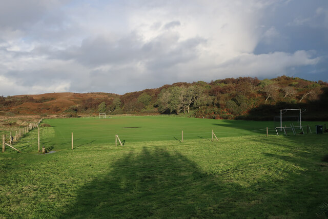
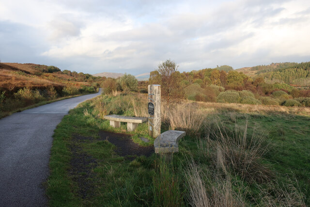
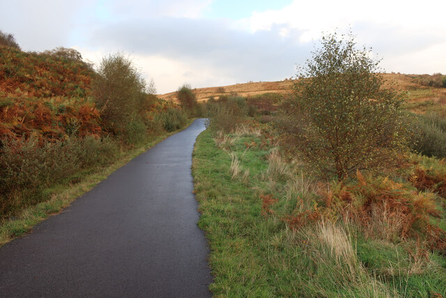
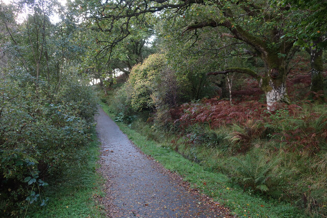
Cnoc a' Bhoist Images
Images are sourced within 2km of 56.451721/-5.4474812 or Grid Reference NM8734. Thanks to Geograph Open Source API. All images are credited.


Cnoc a' Bhoist is located at Grid Ref: NM8734 (Lat: 56.451721, Lng: -5.4474812)
Unitary Authority: Argyll and Bute
Police Authority: Argyll and West Dunbartonshire
What 3 Words
///talker.developed.relief. Near Oban, Argyll & Bute
Nearby Locations
Related Wikis

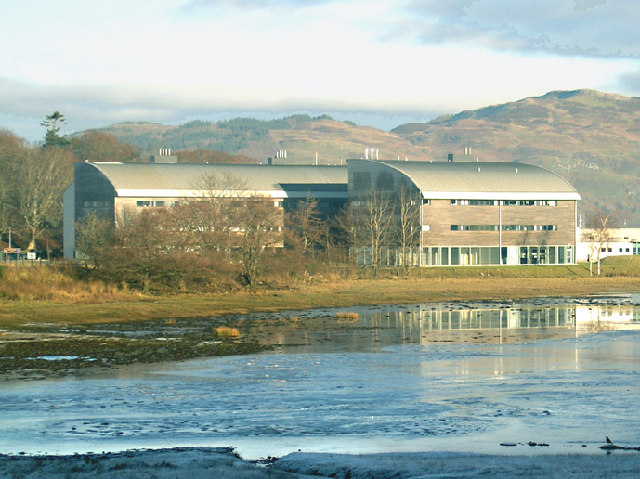
Scottish Association for Marine Science
The Scottish Association for Marine Science (SAMS) is one of Europe's leading marine science research organisations, one of the oldest oceanographic organisations...
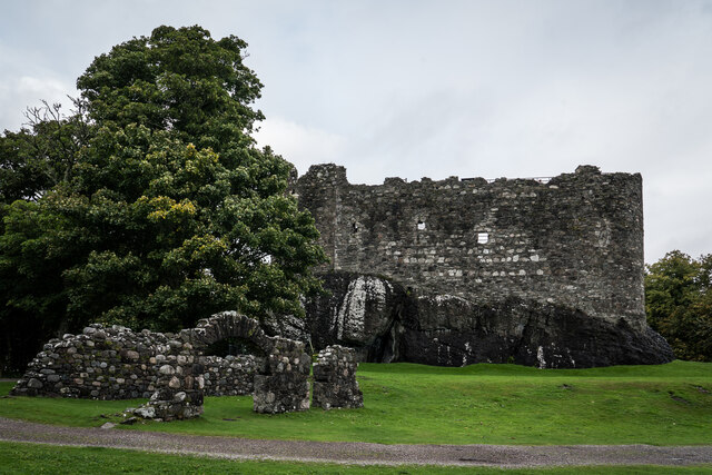
Dunbeg
Dunbeg (Scottish Gaelic: An Dùn Beag), formerly known as Dunstaffnage (Scottish Gaelic: Dùn Stafhainis or Dùn Staidhinis), is a village about 2+1⁄2 miles...
Ganavan
Ganavan (Scottish Gaelic: A' Ghaineamh Bhàn) is a small settlement on Ganavan Bay on the west coast of Scotland, around 1.5 miles (2.4 km) north of the...

Pennyfuir Cemetery
Pennyfuir Cemetery is a cemetery in Oban, Argyll and Bute, Scotland. It was established in the 19th century.The cemetery contains 23 graves from the First...
Nearby Amenities
Located within 500m of 56.451721,-5.4474812Have you been to Cnoc a' Bhoist?
Leave your review of Cnoc a' Bhoist below (or comments, questions and feedback).